The best road cycling routes around Saint-Agoulin
4.4
(23)
998
riders
33
rides
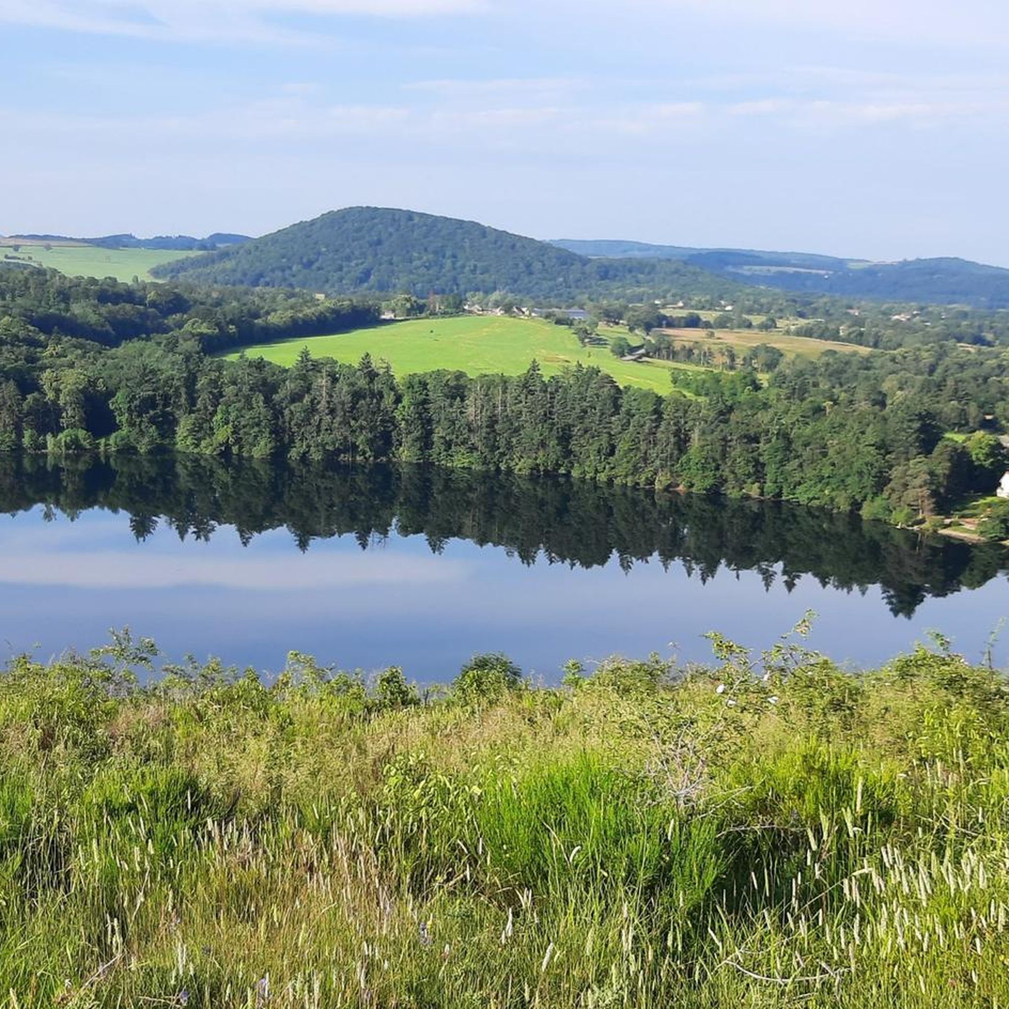
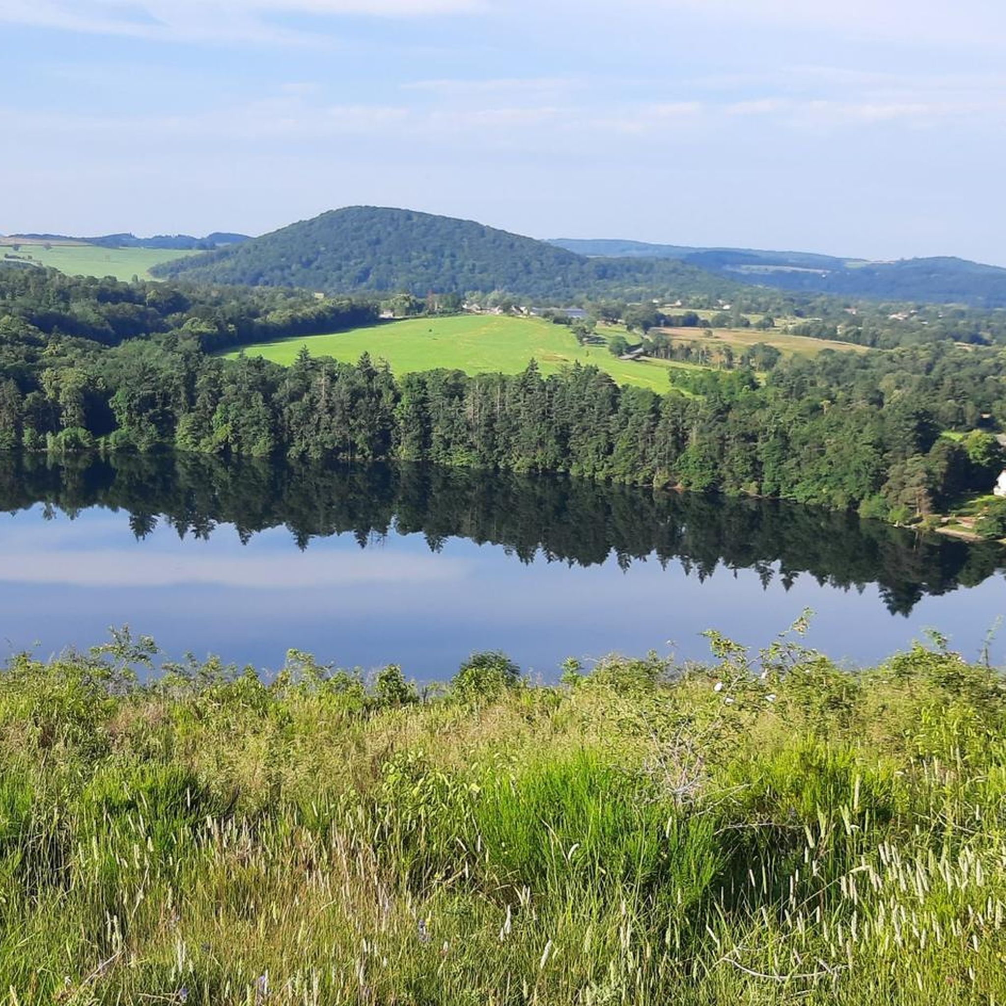
Road cycling routes around Saint-Agoulin are situated on a rolling plateau at an average altitude of 500 meters, positioned between the Limagne plain and the Combrailles mountains. This geographical setting provides varied terrain for cyclists, ranging from gradual ascents to descents towards the plain. Panoramic views from points like Puy Granedon encompass the Chaîne des Puys, Monts du Forez, and the Combrailles, offering diverse backdrops for rides. The region features country roads and traverses through Auvergnat villages, with smooth surfaces…
Last updated: August 29, 2026
20
riders
57.7km
02:42
740m
740m
Moderate road ride. Good fitness required. Mostly well-paved surfaces and easy to ride.
14
riders
50.4km
02:24
710m
710m
Moderate road ride. Good fitness required. Mostly well-paved surfaces and easy to ride.

Sign up for free
14
riders
Moderate road ride. Good fitness required. Mostly well-paved surfaces and easy to ride.
9
riders
67.5km
03:15
920m
920m
Hard road ride. Very good fitness required. Mostly well-paved surfaces and easy to ride.
9
riders
62.4km
03:02
930m
930m
Hard road ride. Very good fitness required. Mostly well-paved surfaces and easy to ride.
Get access to more routes and recommendations from other explorers.
Sign up for free
Already have an account?
Our route recommendations are based on thousands of hikes, rides, and runs completed by other people on komoot.
Start today with a free account
Your next adventure awaits.
Login or Signup



Tips from the Community

Bridge that borders the Allier from the Puy de Dôme. Quiet campsite nearby, and possibility to rent canoes. Calm for picnicking
0
0
The castle is located in a park on the southwestern edge of the town of Jozerand, west of the main street which separates it from the town center (church, town hall). It overlooks the valley of the Coinches stream, a tributary of the Morge. From the castle, situated on the first heights of the Auvergne Combraille, the view extends widely to the south, from the Chaîne des Puys on the right to the Limagne plain on the left.
0
0

Light on in the admittedly short tunnel which makes a slight bend, therefore really dark.
1
0

This arched bridge spanning the Sioule River at Ébreuil is made up of five arches. It was first built in the 19th century, before being rebuilt after a flood swept it away.
0
0

Beautiful old bridge. The bridge's base is completely paved with cobblestones.
0
0

Beautiful road with a nice view.
2
0

Frequently Asked Questions
How many road cycling routes are available around Saint-Agoulin?
There are over 25 road cycling routes available around Saint-Agoulin, offering a variety of options for different skill levels. You can find routes ranging from moderate to difficult.
What kind of terrain can I expect on road cycling routes near Saint-Agoulin?
The region offers diverse terrain, situated on a rolling plateau at an average altitude of 500 meters, between the Limagne plain and the Combrailles mountains. You'll encounter varied landscapes, from gradual, sustained ascents (faux plein montant) to descents towards the plain, ensuring engaging rides.
Are there routes that offer panoramic views of the surrounding region?
Yes, many routes provide extensive panoramic views. From points like Puy Granedon, you can experience 360-degree vistas encompassing the Chaîne des Puys, the Monts du Forez, and the Combrailles, offering picturesque backdrops for your ride.
What are some notable attractions or landmarks I can see while cycling?
While cycling, you can encounter several interesting landmarks. Routes might take you near the Sioule Gorges Road, or offer views of structures like the Viaduc de Neuvial. The region also features historical sites such as Château d'Effiat and Château de Rochefort.
What do other cyclists say about the road cycling experience in Saint-Agoulin?
The road cycling routes around Saint-Agoulin are highly rated by the komoot community, with an average score of 4.0 stars. Cyclists often praise the varied terrain, smooth country roads, and the opportunity to traverse charming Auvergnat villages.
Are there challenging routes for experienced road cyclists?
Yes, Saint-Agoulin offers several challenging routes. For instance, the Ébreuil Bridge over the Sioule – Viaduc de Neuvial loop from Saint-Agoulin is classified as difficult, featuring significant elevation changes over its 67.5 km distance.
Are there any long-distance road cycling routes in the area?
Yes, you can find several long-distance routes. The Church of Saint Agoulin – View of Gour de Tazenat loop from Saint-Agoulin covers 68.8 km, while the Pont de Menat – Menat bridge loop from Saint-Agoulin is 59.6 km, both offering extensive rides through the landscape.
What is the best time of year for road cycling in Saint-Agoulin?
The region is generally pleasant for road cycling during spring, summer, and early autumn. These seasons offer favorable weather conditions to enjoy the diverse landscapes and smooth country roads.
Are there family-friendly road cycling options in the Puy-de-Dôme region?
While Saint-Agoulin's routes tend to be moderate to difficult, the broader Puy-de-Dôme department offers a range of cycling options. For family-friendly rides, look for routes with less elevation gain and dedicated cycle paths in nearby towns or along river valleys.
Where can I find parking for road cycling in Saint-Agoulin?
As a small commune, Saint-Agoulin typically offers local parking options within the village. It's advisable to check local signage upon arrival for designated parking areas suitable for starting your cycling tour.
Can I find loop routes for road cycling around Saint-Agoulin?
Yes, many of the road cycling routes around Saint-Agoulin are designed as loops, allowing you to start and finish in the same location. Examples include the Church of Saint Agoulin – Beauregard Vendon church loop from Paul Le Café and the Sioule Gorges Road – Ébreuil Bridge over the Sioule loop from Saint-Agoulin.
Are there places to stop for refreshments or amenities in Saint-Agoulin or nearby villages?
Saint-Agoulin is a small village, but its surrounding region is dotted with charming Auvergnat villages. Many routes traverse these villages, where you can often find local cafes, small shops, or restaurants for refreshments and amenities. It's a good idea to plan your stops in advance.
Most popular routes around Saint-Agoulin
Most popular attractions around Saint-Agoulin

Get inspired with the komoot mobile app


Explore more
Browse the best Road cycling routes in other regions.
