The best running trails around Saint-Chély-D'Apcher
4.3
(9)
488
runners
45
runs
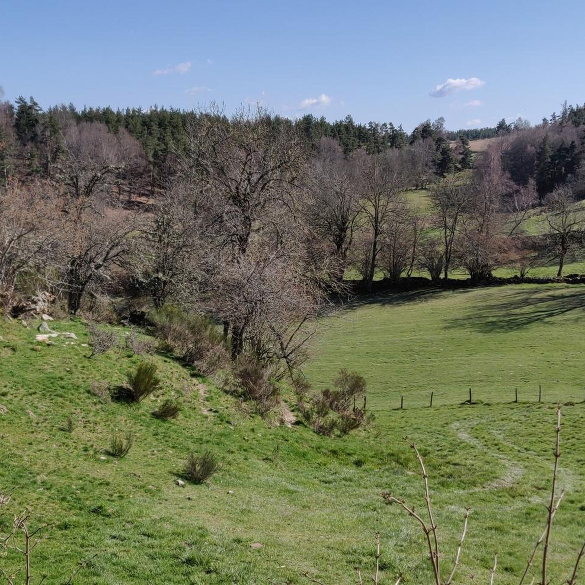
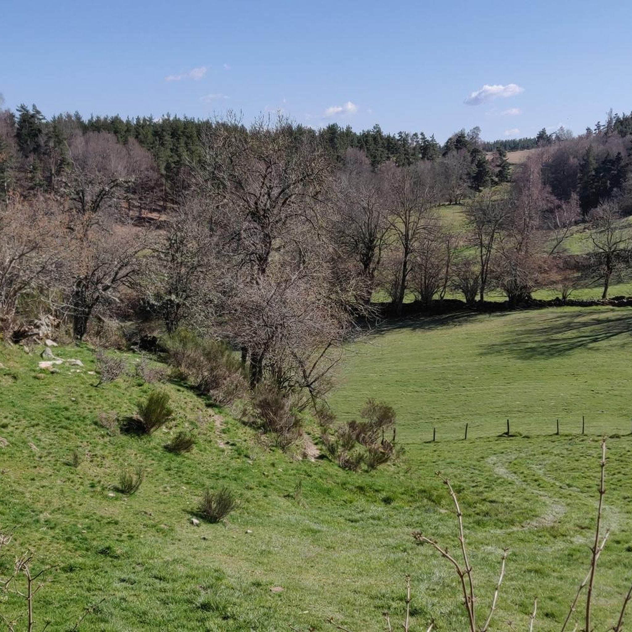
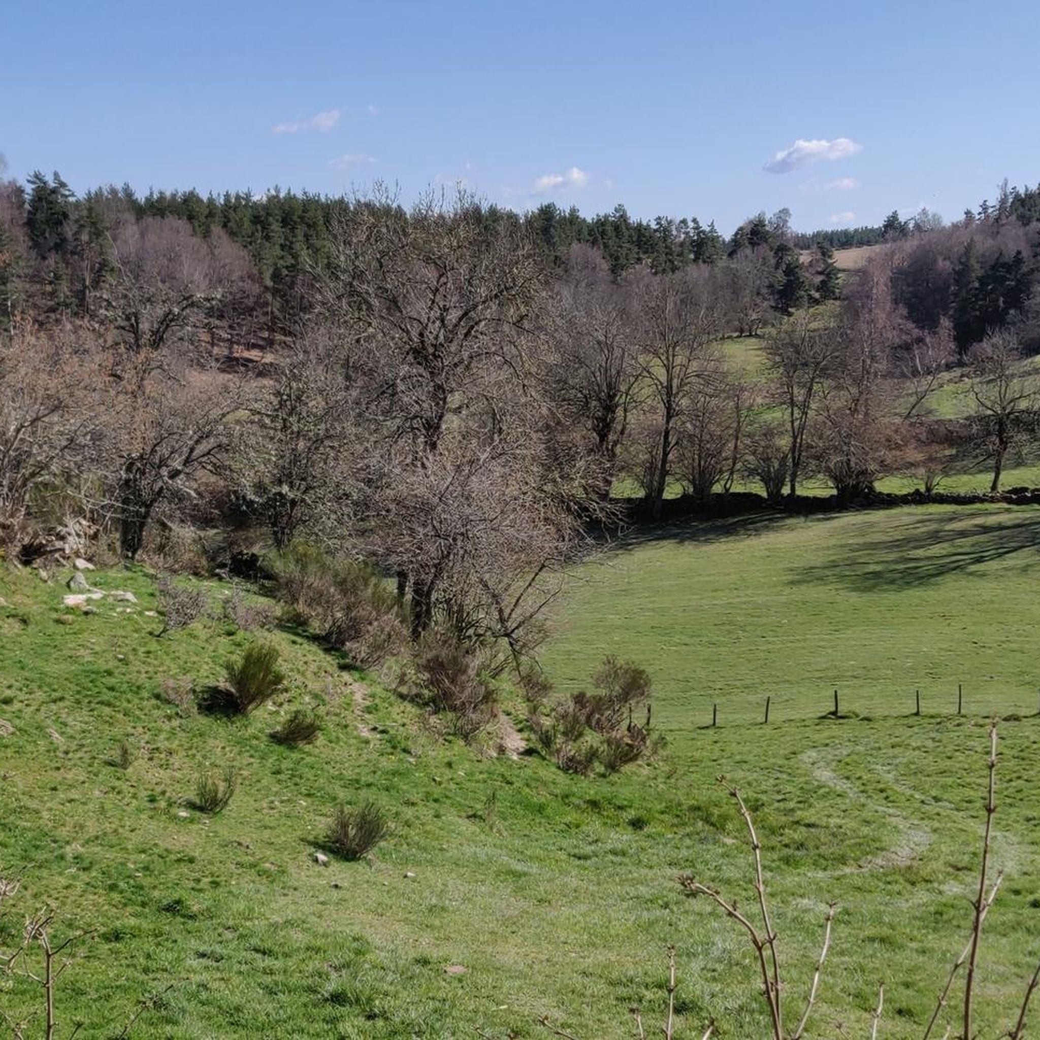
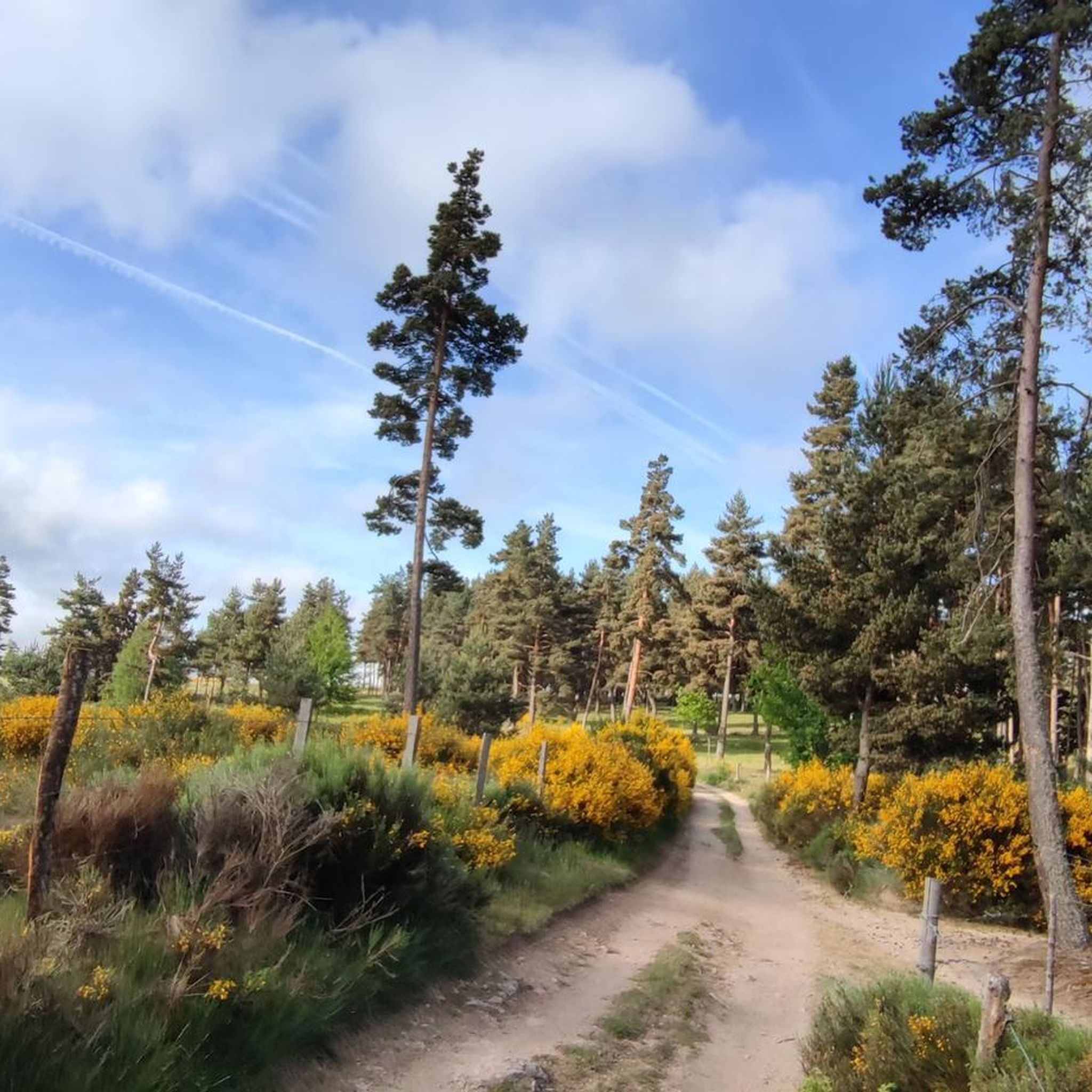
Jogging around Saint-Chély-D'Apcher offers access to diverse natural landscapes within the Margeride mountains and near the Aubrac plateau in southern France. The region is characterized by varied topography, with elevations ranging from 935 to 1,126 meters, providing undulating routes. Extensive forests of Scots pine and beech, alongside pastures, define the terrain, offering a mix of shaded paths and open meadows. Watercourses like the Chapouillet and its tributaries further enhance the natural environment for running.
Best jogging routes around Saint-Chély-D'Apcher
- The…
Last updated: June 30, 2026
4.0
(1)
2
runners
Hard run. Very good fitness required. Mostly paved surfaces. Suitable for all skill levels.
5.0
(1)
63
runners
9.08km
01:01
130m
130m
Moderate run. Good fitness required. Mostly paved surfaces. Suitable for all skill levels.

Sign up for free
14
runners
19.0km
02:08
250m
250m
Hard run. Very good fitness required. Mostly paved surfaces. Suitable for all skill levels.
4
runners
7.32km
00:49
160m
160m
Moderate run. Good fitness required. Mostly paved surfaces. Suitable for all skill levels.
4.0
(1)
6
runners
9.93km
01:05
170m
170m
Moderate run. Good fitness required. Mostly paved surfaces. Suitable for all skill levels.
Get access to more routes and recommendations from other explorers.
Sign up for free
Already have an account?
Our route recommendations are based on thousands of hikes, rides, and runs completed by other people on komoot.
Start today with a free account
Your next adventure awaits.
Login or Signup


Other adventures around Saint-Chély-D'Apcher

Tips from the Community

Saint-Chély-d'Apcher and its surrounding area are a must-see. You can come and stroll along the ramparts and through the ancient streets of the historic center, and admire the statues of the Beast of Gévaudan. Foodies can stock up on local products in the many small shops.
1
0

Very pretty little town It's the starting point for the GTMC link
0
0

The Truc de l'Homme, which culminates at 1274 m, allows you to appreciate the tranquility and beauty of Aubrac.
0
0

At the top of the Truc de l'Homme: viewpoint, picnic table, raspberries and blueberries depending on the season.
0
0
Frequently Asked Questions
How many running routes are available around Saint-Chély-D'Apcher?
There are over 50 dedicated running routes around Saint-Chély-D'Apcher listed on komoot. These routes cater to various skill levels, from easy jogs to challenging trail runs across the diverse landscapes of the Aubrac plateau and Margeride massif.
What kind of terrain can I expect on jogging trails in Saint-Chély-D'Apcher?
Jogging trails in Saint-Chély-D'Apcher offer a rich variety of terrain. You can expect wide-open plateaus, extensive forests, and varied paths that traverse both the high-altitude Aubrac plateau and the wooded areas of the Margeride massif. This diverse landscape provides fresh air and scenic views for every run.
Are there any easy running routes for beginners in the area?
Yes, Saint-Chély-D'Apcher offers several easy running routes suitable for beginners. For instance, the Running loop from Saint-Chély-d'Apcher is an easy 3.6 km (2.2 miles) trail that can be completed in about 24 minutes, perfect for a gentle jog through local landscapes.
Can I find circular running routes around Saint-Chély-D'Apcher?
Absolutely. Many of the running routes in Saint-Chély-D'Apcher are circular, allowing you to start and finish at the same point. An example is the Horse in the Forest loop from Saint-Chély-d'Apcher, a moderate 9.1 km (5.6 miles) path that winds through wooded areas.
What do other runners say about the trails in Saint-Chély-D'Apcher?
The running trails in Saint-Chély-D'Apcher are highly rated by the komoot community, with an average score of 4.1 stars from over 25 reviews. Runners often praise the diverse terrain, the fresh air, and the scenic views across the plateaus and through the woodlands. Over 480 runners have already explored these varied routes using komoot.
Are there any challenging trail running options for experienced runners?
Yes, for experienced trail runners seeking a challenge, Saint-Chély-D'Apcher provides routes with significant elevation gain. The Le Truc de l’Homme – trail loop starting from Saint-Chély-d'Apcher – Aubrac Regional Natural Park is a difficult 28.3 km (17.6 miles) trail with over 400 meters of elevation gain, offering a demanding experience through the Aubrac Regional Natural Park.
What natural attractions can I see while running in Saint-Chély-D'Apcher?
While running in Saint-Chély-D'Apcher, you can enjoy the stunning natural beauty of the region. Highlights include the vast expanses of the Aubrac Highlands and the picturesque Aubrac landscape. The area is known for its unspoiled natural environments, offering refreshing views throughout your run.
Are there any historical landmarks accessible via running routes?
Yes, you can combine your run with a touch of history. The medieval tower of Apcher, overlooking the town, is accessible via trails through woods and prairies. Additionally, you might encounter historical sites like Saint-Alban-sur-Limagnole or the Saint Stephen's Church along some routes, adding a cultural element to your outdoor activity.
Is Saint-Chély-D'Apcher a good destination for trail running events?
The broader Lozère department, where Saint-Chély-D'Apcher is located, is recognized as a prime location for trail running. It features dedicated 'Espaces Trail' with numerous courses and organized events throughout the year, making it an excellent destination for trail running enthusiasts looking for organized challenges.
What is the best time of year for jogging in Saint-Chély-D'Apcher?
The region's diverse landscapes, situated between the Aubrac plateau and the Margeride massif, make it suitable for jogging across multiple seasons. Spring and autumn offer pleasant temperatures and vibrant scenery. Summer provides long daylight hours, while winter can offer unique experiences on snow-covered trails, especially on the Aubrac plateau, though conditions should be checked.
Are there any running routes that pass by lakes or water features?
While specific routes in this guide don't explicitly highlight major water features, the nearby Lake du Moulinet is a notable attraction offering a serene environment with trails suitable for running. This peaceful lake provides a lovely setting for outdoor recreation.
Can I find moderate-difficulty running routes in Saint-Chély-D'Apcher?
Yes, the majority of running routes in Saint-Chély-D'Apcher are of moderate difficulty, offering a good balance for most runners. An example is the Saint-Chély-d'Apcher loop from Saint-Chély-d'Apcher, which is a moderate 9.98 km (6.2 miles) route, providing a good workout without being overly strenuous.
Most popular routes around Saint-Chély-D'Apcher
Most popular attractions around Saint-Chély-D'Apcher

Get inspired with the komoot mobile app


Explore more
Browse the best Running Trails & Routes in other regions.
