The best walks and hikes around Fau-De-Peyre
4.6
(270)
1,947
hikers
104
hikes
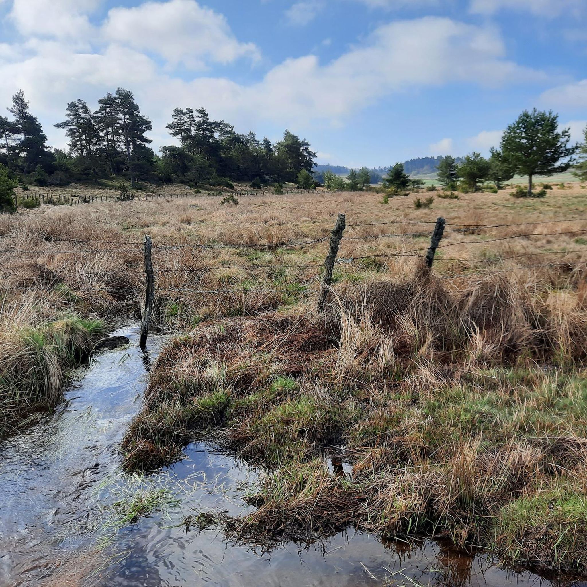
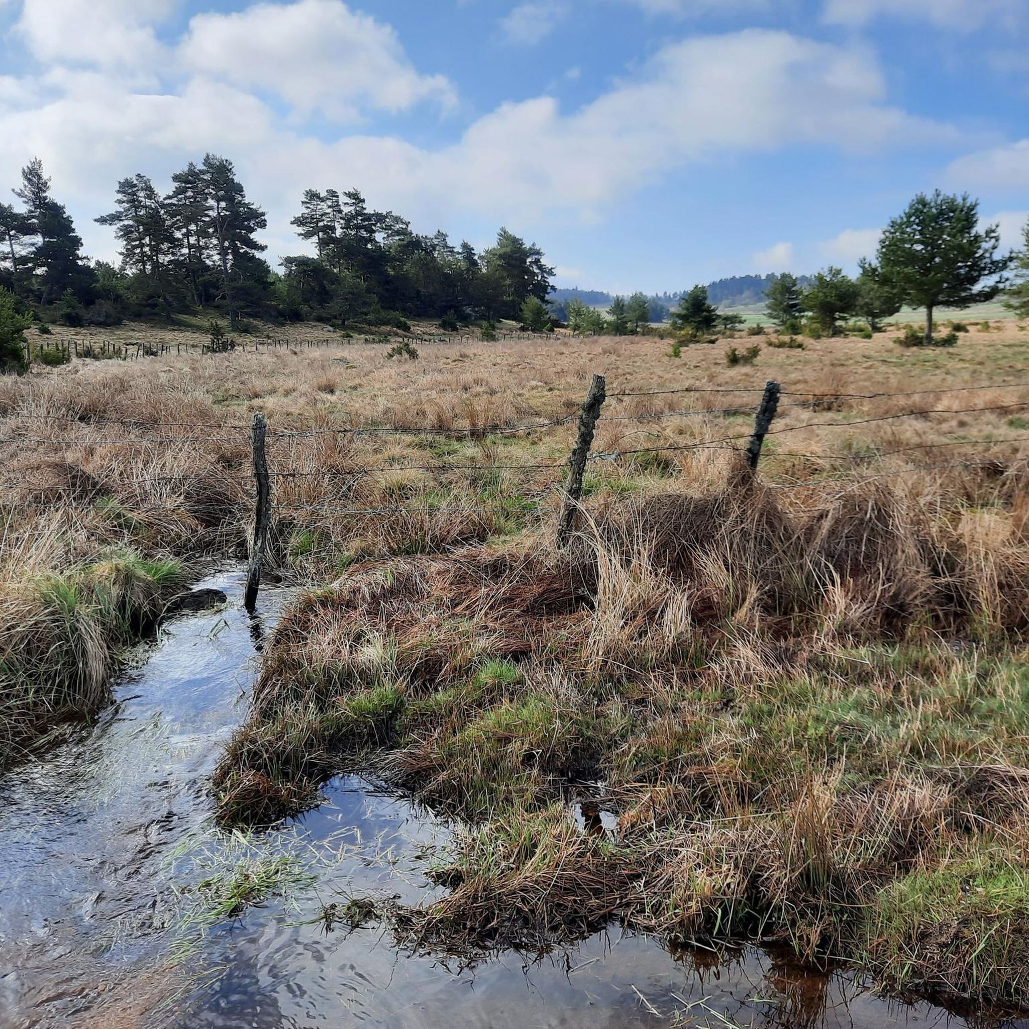
Hiking around Fau-De-Peyre offers access to diverse natural landscapes within the Lozère department of France. The region is situated on the Gévaudan plateau, providing immediate access to the expansive, open meadows and rolling hills of the Aubrac to the west, and the denser pine forests of the Margeride to the east. Elevations in the area range from approximately 992 meters to 1,247 meters, with the Rimeize river adding riparian features to the terrain. This geographical position provides a variety of…
Last updated: June 29, 2026
4.7
(46)
284
hikers
35.9km
09:48
540m
540m
Hard hike. Very good fitness required. Easily-accessible paths. Suitable for all skill levels.
4.8
(14)
101
hikers
16.7km
04:33
240m
240m
Moderate hike. Good fitness required. Easily-accessible paths. Suitable for all skill levels.

Sign up for free
5.0
(3)
67
hikers
24.3km
06:40
390m
390m
Hard hike. Very good fitness required. Easily-accessible paths. Suitable for all skill levels.
1
hikers
13.2km
03:31
130m
130m
Moderate hike. Good fitness required. Easily-accessible paths. Suitable for all skill levels.
4.0
(1)
11
hikers
10.9km
03:00
180m
180m
Moderate hike. Good fitness required. Easily-accessible paths. Suitable for all skill levels.
Get access to more routes and recommendations from other explorers.
Sign up for free
Already have an account?
Our route recommendations are based on thousands of hikes, rides, and runs completed by other people on komoot.
Start today with a free account
Your next adventure awaits.
Login or Signup

Tips from the Community

Accessing it by gravel bike requires a lot of bike carrying, on a steep trail. But the view at the summit is truly magnificent! Clearly, the effort is well worth it! The monument itself, I couldn't say, the text is difficult to read, it's unusual!
0
0
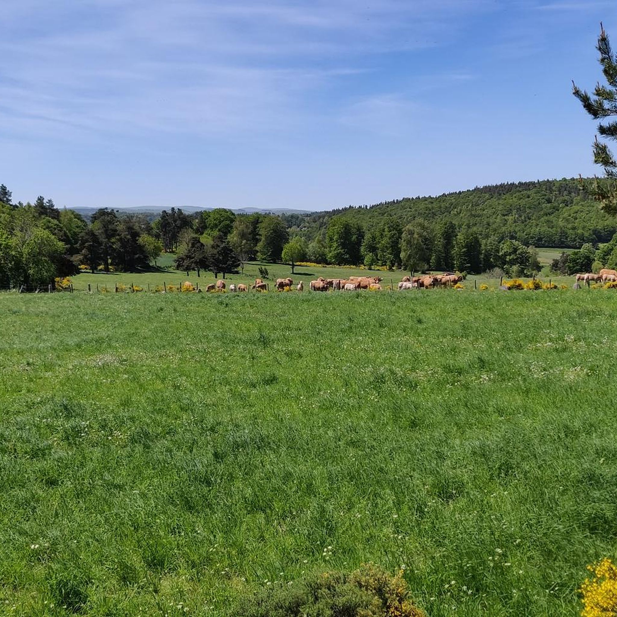
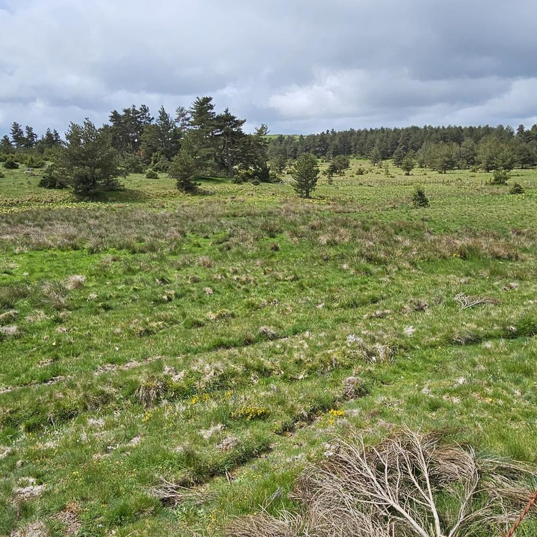
The plateaus of Aubrac offer grandiose, vast and infinite landscapes. It's simply magnificent and very green in June!
0
0
The view from the summit is magnificent. On a gravel bike, to get there and back down you will have to push the bike on several sections but frankly it's worth it!
0
0
The view is magnificent at the summit. On gravel, to get there and back down, you will have to push the bike on several sections but frankly it's worth it!
0
0

We passed and enjoyed this during our Camino trip in 2025: https://youtu.be/iWACUDABfUc
0
0
We passed and enjoyed this during our Camino trip in 2025: https://youtu.be/iWACUDABfUc
0
0
We passed and enjoyed this during our Camino trip in 2025: https://youtu.be/iWACUDABfUc
0
0
Frequently Asked Questions
How many hiking trails are available around Fau-De-Peyre?
Fau-De-Peyre offers a wide variety of hiking opportunities, with over 90 trails available. These routes cater to different preferences, ranging from easy strolls across the Aubrac plateau to more challenging long-distance treks.
What kind of landscapes can I expect to see while hiking in Fau-De-Peyre?
Hiking in Fau-De-Peyre provides access to diverse natural landscapes. To the west, you'll find the expansive, open meadows and rolling hills of the Aubrac plateau, known for its panoramic views and traditional pasture farming. To the east, the Margeride region offers a contrasting experience with denser pine forests and a rugged, wilder feel. The Rimeize river also adds riparian beauty to the area.
Are there any easy hiking routes suitable for beginners in Fau-De-Peyre?
Yes, Fau-De-Peyre has a good selection of routes suitable for beginners. There are 27 easy trails available, perfect for those looking for a gentle introduction to the region's natural beauty. These often involve less elevation gain and shorter distances.
Are there any challenging hikes for experienced trekkers?
Absolutely. For experienced trekkers, Fau-De-Peyre offers 10 difficult trails. One notable challenging route is the Way of St. James: Aumont-Aubrac to Nasbinals Trail, a 35.9 km path traversing the wild Aubrac plateau. Another is the Aubrac High Plateau – Heart of Aubrac Plateau loop from Prinsuéjols-Malbouzon, a 26.1 km loop offering an in-depth experience of the high plateau.
What are some notable natural features or landmarks to look out for?
The region boasts several interesting natural features. The Aubrac Highlands offer vast, open views. You can also visit the Roc des Loups, also known as the hill of the wolves, which provides wide views over the Aubrac. Just 17 km away, the impressive Cascade du Déroc is a significant natural attraction accessible via hiking trails.
Are there any circular walks available in the area?
Yes, many of the trails around Fau-De-Peyre are designed as circular routes, allowing you to start and end at the same point. An example is the Heart of Aubrac Plateau loop from Souleyrols, an 14.2 km trail that takes you through the heart of the Aubrac.
What do other hikers enjoy most about the trails in Fau-De-Peyre?
The trails in Fau-De-Peyre are highly rated by the komoot community, with an average score of 4.6 stars from over 260 reviews. Hikers often praise the diverse terrain, from the expansive Aubrac plateau to the dense Margeride forests, and the sense of immersion in nature offered by the panoramic views.
Is Fau-De-Peyre suitable for family-friendly hikes?
Yes, the region offers many routes suitable for families. With 27 easy trails, you can find shorter, less strenuous options that are perfect for hiking with children, allowing everyone to enjoy the natural beauty of the Aubrac and Margeride landscapes.
Can I bring my dog on the hiking trails?
While specific regulations can vary by trail and protected areas, generally, dogs are welcome on many hiking trails in the Fau-De-Peyre region, especially on the more open paths of the Aubrac plateau. It's always recommended to keep your dog on a leash and ensure you clean up after them to respect the local environment and wildlife.
What is the best time of year to go hiking in Fau-De-Peyre?
The best time to hike in Fau-De-Peyre is typically from spring through early autumn (May to October). During these months, the weather is generally pleasant, and the Aubrac plateau is vibrant with traditional pasture farming and grazing Aubrac cows. While winter hiking is possible, conditions can be challenging due to snow and colder temperatures.
Are there any waterfalls in the vicinity of Fau-De-Peyre?
Yes, the region is home to the impressive Cascade du Déroc, located about 17 km from Fau-De-Peyre. This significant natural attraction is accessible via hiking trails and offers superb views of the Aubrac plateau, making it a rewarding destination for a hike.
What are the typical elevation changes on trails around Fau-De-Peyre?
Elevations in the Fau-De-Peyre area range from approximately 992 meters to 1,247 meters. While some trails on the Aubrac plateau feature rolling hills and gradual ascents, others, particularly the more difficult routes, can involve significant elevation gains. For example, the Way of St. James: Aumont-Aubrac to Nasbinals Trail has an elevation gain of over 530 meters.
Most popular routes around Fau-De-Peyre
Most popular attractions around Fau-De-Peyre

Get inspired with the komoot mobile app


Explore more
Browse the best Hikes in other regions.
