The best walks and hikes around La Fage-Montivernoux
4.6
(511)
3,439
hikers
143
hikes
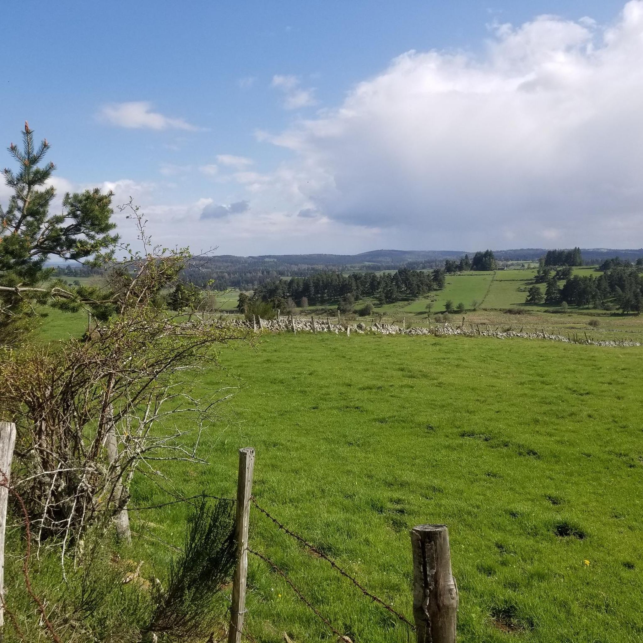
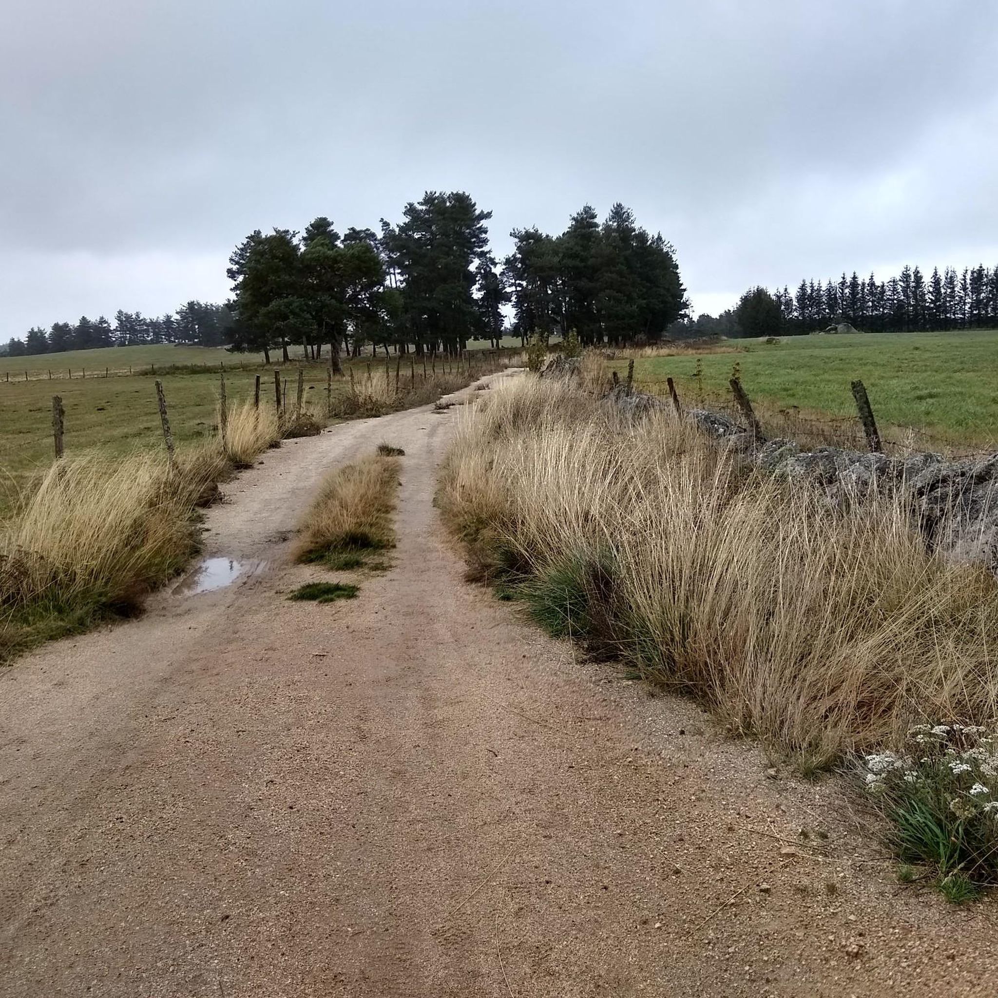
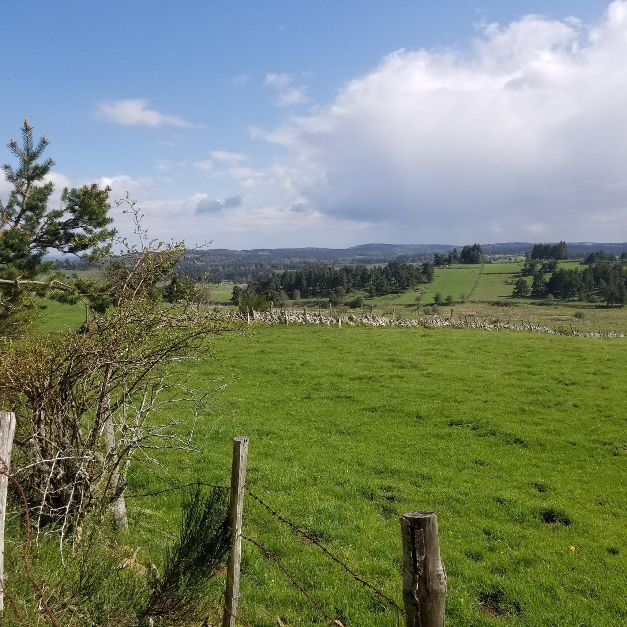
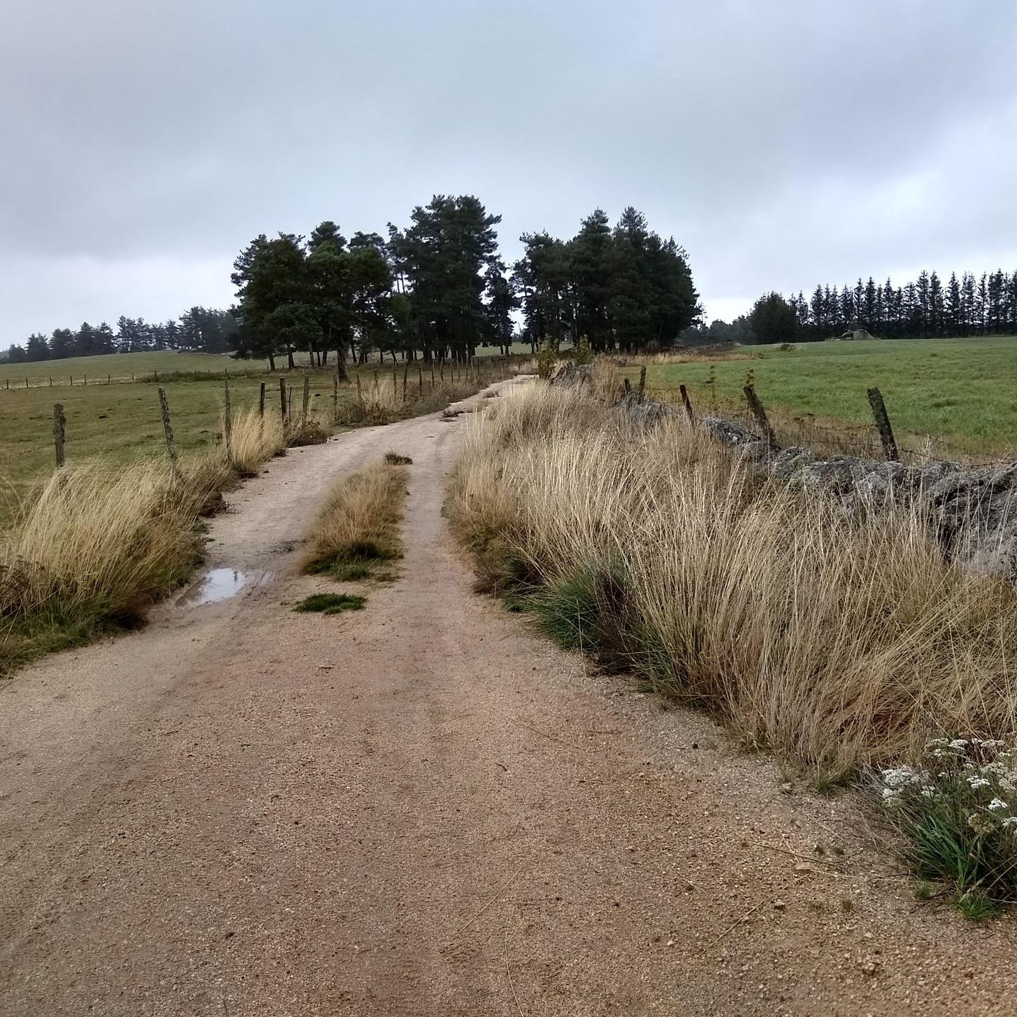
Hiking around La Fage-Montivernoux offers access to the diverse landscapes of the Aubrac Regional Natural Park in France's Occitanie region. The area is characterized by the expansive Aubrac plateau, featuring vast prairies, summer pastures, and light woodlands, with the Puech peak reaching 1,280 meters. Beech forests, from which the commune derives its name, are also prevalent, alongside the Rimeize and Bédaule rivers. This terrain provides varied hiking opportunities across rolling hills and open plateaus.
Best hiking trails around La Fage-Montivernoux
…Last updated: June 29, 2026
3.8
(8)
25
hikers
8.75km
02:22
110m
110m
Moderate hike. Good fitness required. Easily-accessible paths. Suitable for all skill levels.
4.0
(1)
11
hikers
10.9km
03:00
180m
180m
Moderate hike. Good fitness required. Easily-accessible paths. Suitable for all skill levels.

Sign up for free
5.0
(2)
5
hikers
8.04km
02:09
90m
90m
Moderate hike. Good fitness required. Easily-accessible paths. Suitable for all skill levels.
4.7
(3)
14
hikers
14.8km
04:04
250m
250m
Moderate hike. Good fitness required. Easily-accessible paths. Suitable for all skill levels.
12
hikers
22.7km
06:17
410m
410m
Hard hike. Very good fitness required. Easily-accessible paths. Suitable for all skill levels.
Get access to more routes and recommendations from other explorers.
Sign up for free
Already have an account?
Our route recommendations are based on thousands of hikes, rides, and runs completed by other people on komoot.
Start today with a free account
Your next adventure awaits.
Login or Signup

Tips from the Community

Accessing it by gravel bike requires a lot of bike carrying, on a steep trail. But the view at the summit is truly magnificent! Clearly, the effort is well worth it! The monument itself, I couldn't say, the text is difficult to read, it's unusual!
0
0
The view from the summit is magnificent. On a gravel bike, to get there and back down you will have to push the bike on several sections but frankly it's worth it!
0
0
The view is magnificent at the summit. On gravel, to get there and back down, you will have to push the bike on several sections but frankly it's worth it!
0
0

We passed and enjoyed this during our Camino trip in 2025: https://youtu.be/iWACUDABfUc
0
0
We passed and enjoyed this during our Camino trip in 2025: https://youtu.be/iWACUDABfUc
0
0
We passed and enjoyed this during our Camino trip in 2025: https://youtu.be/xZkbnoCtUzE
0
0

very beautiful route, well shaded on the first part and then discovery of the splendid plateau
1
0

Frequently Asked Questions
How many hiking trails are available in La Fage-Montivernoux?
There are over 140 hiking trails around La Fage-Montivernoux, offering a wide range of options for different skill levels and preferences. You'll find everything from easy strolls to challenging long-distance routes across the Aubrac plateau.
What kind of terrain can I expect when hiking around La Fage-Montivernoux?
The terrain around La Fage-Montivernoux is diverse, characterized by the expansive Aubrac plateau with its vast prairies and summer pastures, often bordered by traditional stone walls. You'll also encounter ancient beech forests, rolling hills, and light woodlands. The area is shaped by rivers like the Rimeize and Bédaule, and from elevated points, panoramic views extend towards Margeride and Mont-Lozère.
Are there any easy hiking trails suitable for beginners or families?
Yes, La Fage-Montivernoux offers over 40 easy hiking routes. These trails typically feature minimal elevation changes and are perfect for a relaxed outing with family or for those new to hiking. Many of these routes traverse the gentle landscapes of the Aubrac plateau.
Can I find circular hiking routes in the area?
Absolutely. The region is well-suited for circular hikes, often referred to as 'Petites randonnées en boucle'. One notable circuit is 'Autour du Puy de Montivernoux', which allows you to explore the surroundings of the peak and enjoy splendid views of the prairies and pastures. You can also find routes like Heart of Aubrac Plateau loop from Les Quatre Chemins, which is a moderate 8 km loop.
Are there any long-distance hiking trails that pass through La Fage-Montivernoux?
Yes, several renowned long-distance paths traverse the area. Hikers can access sections of the famous Chemin de Compostelle (GR65), the GRP® Tour des Monts d'Aubrac, and the Chemin de Saint-Guilhem le Désert directly from the village. These trails offer opportunities for multi-day adventures through the diverse landscapes of the Aubrac Regional Natural Park.
What are some notable natural features or landmarks to look out for on hikes?
Beyond the expansive plateau views, you can discover several interesting features. The area is known for its ancient wrought-iron and granite crosses, some dating back to the 3rd century, adding a cultural dimension to your walk. A significant natural attraction nearby is the stunning Cascade du Déroc, a beautiful waterfall. You might also encounter traditional stone walls and peat bogs, which contribute to the region's ecological diversity.
What do other hikers enjoy most about hiking in La Fage-Montivernoux?
The hiking trails in La Fage-Montivernoux are highly rated by the komoot community, with an average score of 4.6 stars from over 490 reviews. Hikers often praise the expansive, open landscapes of the Aubrac plateau, the tranquility of the beech forests, and the well-preserved natural environment. The variety of routes, from moderate paths to more challenging ones, is also frequently highlighted.
Is it possible to hike with dogs in La Fage-Montivernoux?
Generally, the natural environment of La Fage-Montivernoux, with its open prairies and woodlands, is welcoming for dogs. However, as the area is part of the Aubrac Regional Natural Park and features summer pastures, it's crucial to keep dogs on a leash, especially near livestock, and to respect local regulations and wildlife. Always ensure your dog is under control and clean up after them.
What is the best time of year to go hiking in La Fage-Montivernoux?
The best time to hike in La Fage-Montivernoux is typically from late spring to early autumn (May to October). During these months, the weather is generally mild and pleasant, and the landscapes are vibrant. Spring brings blooming wildflowers, while autumn offers beautiful foliage. Summer is also popular, but be prepared for potentially warmer temperatures on the open plateau. Winter can be challenging due to snow, though snowshoeing is an option.
Are there any challenging hikes for experienced trekkers?
Yes, for experienced trekkers, there are challenging routes available. The area offers 17 difficult trails, which often involve significant elevation gains and longer distances. An example is the Aubrac High Plateau – Heart of Aubrac Plateau loop from Prinsuéjols-Malbouzon, a difficult 26.1 km trail that traverses expansive plateau landscapes and takes over 7 hours to complete.
Where can I find parking for hiking trailheads in La Fage-Montivernoux?
Parking is generally available in and around the village of La Fage-Montivernoux, as well as at various starting points for popular trails. Many trailheads, especially those for 'Petites randonnées en boucle' or sections of the GR paths, have designated parking areas. It's advisable to check specific route details on komoot for recommended parking locations near your chosen starting point.
Can I reach La Fage-Montivernoux by public transport for hiking?
While La Fage-Montivernoux is a rural commune, public transport options might be limited. It's best to check regional bus services or train connections to nearby larger towns in Lozère, such as Aumont-Aubrac or Marvejols, and then arrange for local transport or a taxi to reach La Fage-Montivernoux. For the most flexibility in accessing various trailheads, traveling by car is often recommended.
Most popular routes around La Fage-Montivernoux
Most popular attractions around La Fage-Montivernoux

Get inspired with the komoot mobile app


Explore more
Browse the best Hikes in other regions.
