The best MTB trails around Uffholtz
4.5
(992)
6,432
riders
380
rides
Mountain biking around Uffholtz offers a diverse landscape characterized by rolling hills, dense forests, and scenic vineyards. The region features varied terrain, including both challenging ascents and flowing descents, often leading to historical sites or panoramic viewpoints. Riders can expect a mix of natural singletrack and wider forest paths, with elevation changes typical of the foothills of the Vosges mountains.
Best mountain bike trails around Uffholtz
- The most popular mountain bike trail is Molkenrain Farm Inn – Ruins of Herrenfluh…
Last updated: October 21, 2026
4.5
(10)
53
riders
19.7km
02:05
760m
760m
Moderate mountain bike ride. Good fitness required. Advanced riding skills necessary.
3.7
(6)
15
riders
16.7km
02:09
750m
750m
Hard mountain bike ride. Good fitness required. Advanced riding skills necessary. Some portions of the route may require you to push your bike.

5.0
(5)
58
riders
37.0km
03:43
1,300m
1,300m
Hard mountain bike ride. Very good fitness required. Advanced riding skills necessary.
2.3
(3)
7
riders
18.9km
02:28
850m
850m
Hard mountain bike ride. Good fitness required. Advanced riding skills necessary. Some portions of the route may require you to push your bike.
14
riders
23.4km
02:24
590m
590m
Moderate mountain bike ride. Good fitness required. Advanced riding skills necessary.
Get access to more routes and recommendations from other explorers.
Already have an account?
Our route recommendations are based on thousands of hikes, rides, and runs completed by other people on komoot.
Start today with a free account
Your next adventure awaits.
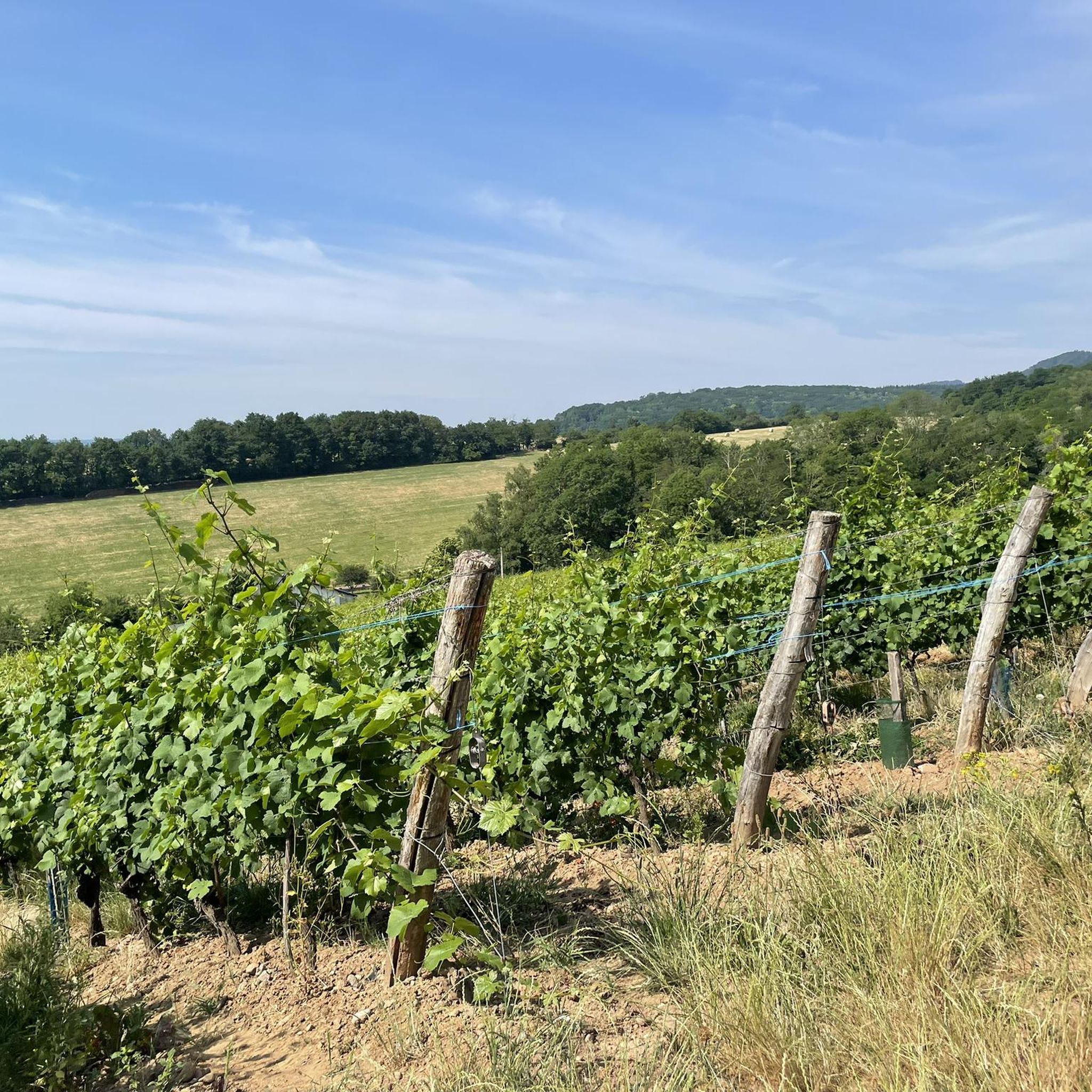
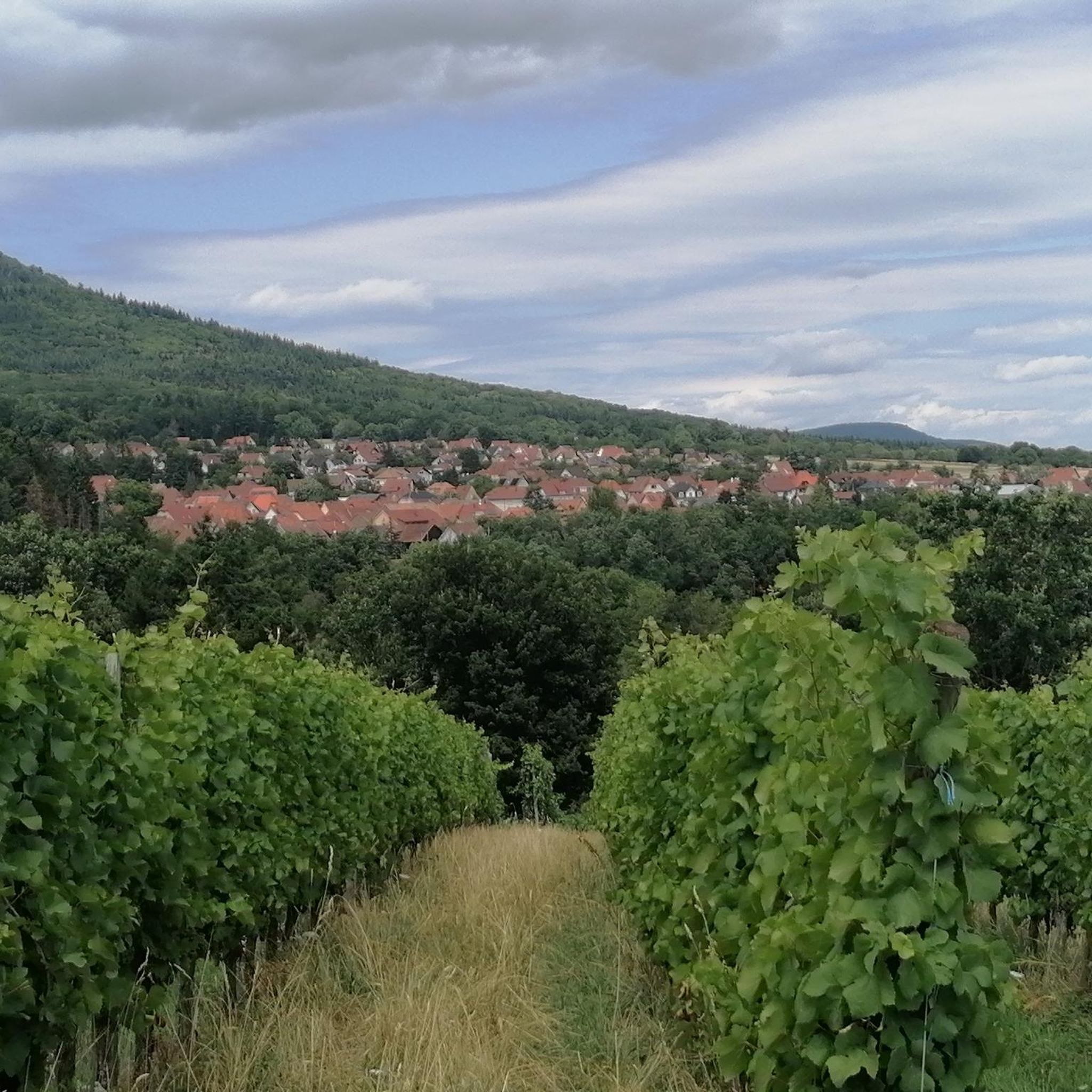
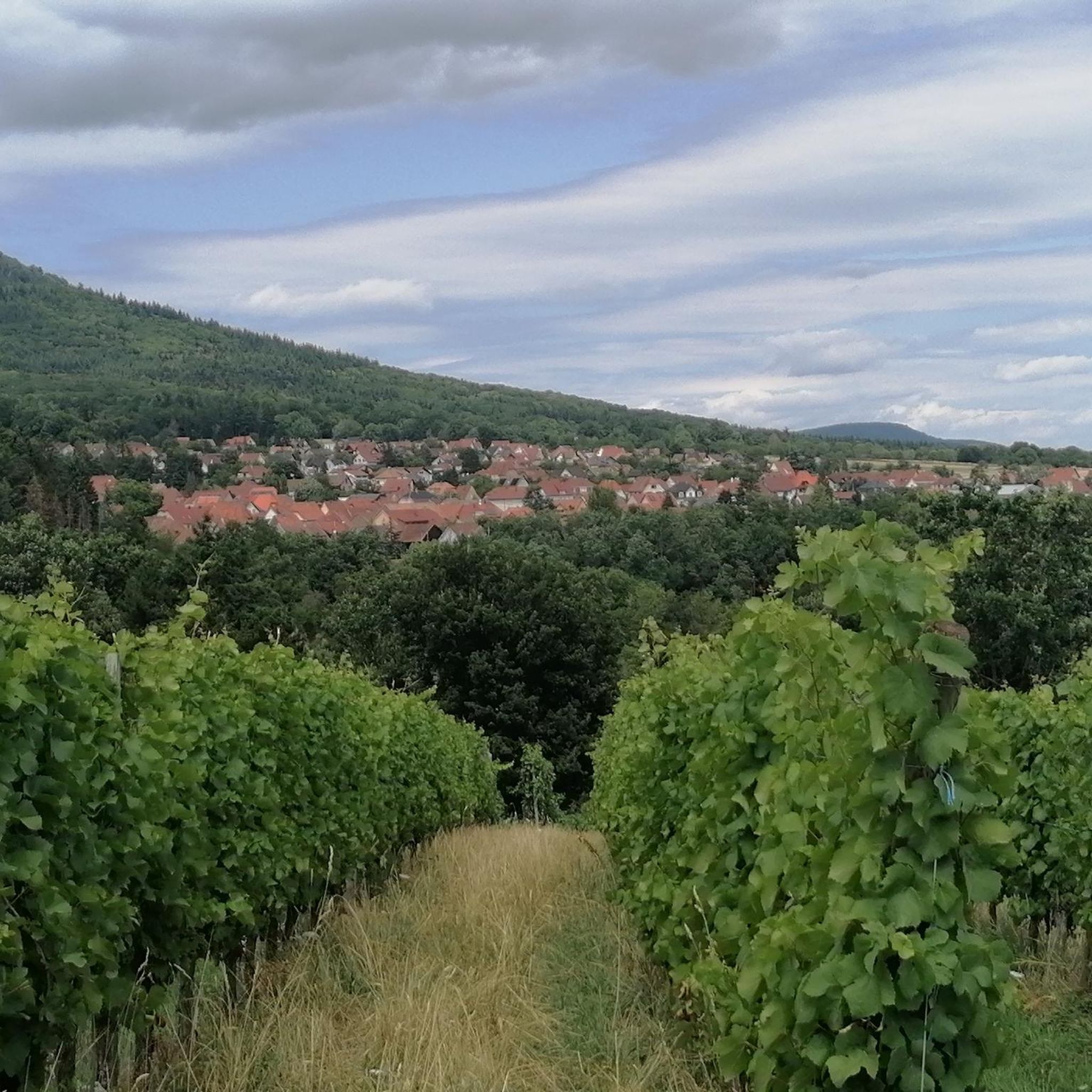

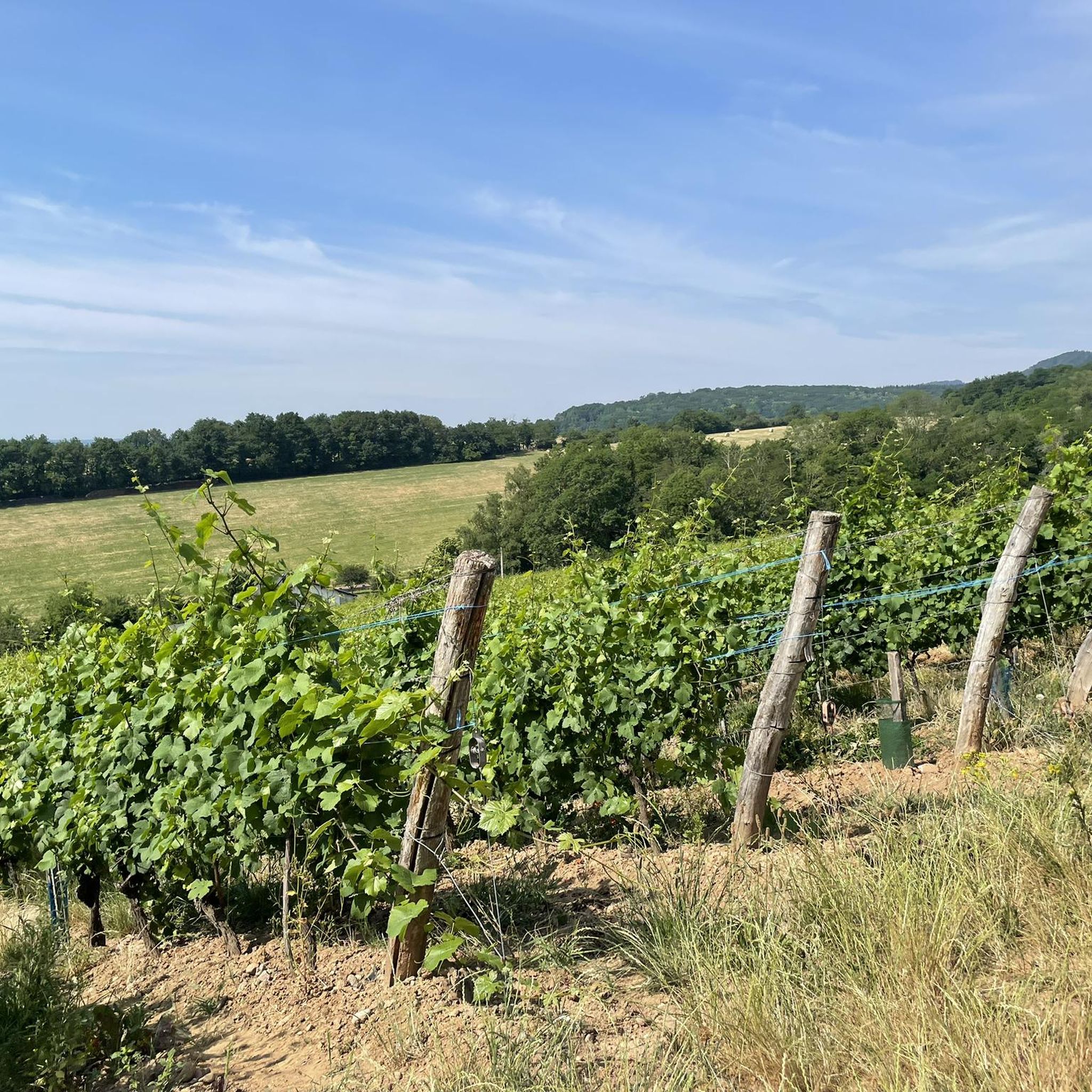
Tips from the Community

Le Grand Ballon (1325 m) forms the highest point of the Vosges mountains and is one of the most famous destinations for cyclists in the mountain range. Although the summit itself is slightly higher (1424 m), the mountain pass is located at an altitude of approximately 1325 meters on the side of the Route des Crêtes. From here, vast panoramas open up over the Vosges, the Alsace plain, and on clear days even as far as the Black Forest and the Alps. For cyclists, Le Grand Ballon is a legendary climb. Long and often challenging ascents lead from the various valleys to this iconic mountain. The final kilometers above the tree line offer an impressive scenery of mountain meadows, rocky outcrops, and expansive vistas.
6
0


Should be climbed sometime
2
0

The chapel was built in 1930 on the site of a former wayside cross. It is dedicated to Saint Morand, a Cluny monk who became an apostle of the Sundgau region (11th century), patron saint of the parish of Steinbach and the village's winegrowers. It is also commonly known as Lohkapala.
0
0
The Château du Herrenfluh is a medieval ruin at an altitude of 858 metres. It was built in 1312 by Johan von Sankt Amarin, nicknamed Nordwind, and served as a lookout post for the princes-abbatons of Murbach. Due to its strategic location, the castle offered a panoramic view over Alsace, all the way to the foothills of the Jura. In 1376, it was captured by English mercenaries and later, in 1468, destroyed by the Swiss. During the First World War, the site was again used as a French observation post. Today, some ruins are still visible, and volunteers are working to preserve the remains. It is an interesting historical site along the Route des Crêtes.
7
0
Vieil Armand, also known as Hartmannswillerkopf, is a striking mountain peak in the southern Vosges, near the Col Amic. This place is not only popular with cyclists because of the challenging climb and the panoramic view of the Rhine plain, but also an important historical monument. During the First World War, fierce fighting took place here between French and German troops, resulting in a static trench warfare. Today, the area is a national memorial with a crypt, military cemetery and well-preserved trenches. The climb to Vieil Armand via the Col Amic is not only sportingly rewarding, but also impressive because of the historical significance of the landscape.
6
0
The climb of the Col Amic from Soultz-Haut-Rhin is a beautiful and accessible climb in the Vosges, ideal for cyclists who love regularity and nature. The climb is 12.1 km long, bridges 559 meters of altitude and has an average gradient of 4.6%. The route winds through a quiet, wooded area and offers beautiful views of the Alsatian plain along the way. The summit is at 829 meters and forms a junction towards the Grand Ballon or the Hartmannswillerkopf massif. Thanks to its even profile, this climb is suitable for both recreational cyclists and athletic climbers.
8
0
Frequently Asked Questions
How many mountain bike trails are available around Uffholtz?
There are nearly 400 mountain bike trails around Uffholtz, offering a wide range of options for all skill levels. You'll find a mix of natural singletrack and wider forest paths, with elevation changes typical of the foothills of the Vosges mountains.
Are there easy mountain bike trails suitable for beginners or families in Uffholtz?
Yes, Uffholtz offers 77 easy mountain bike trails. These routes often feature gentler terrain through forests and vineyards. An excellent option is the Watteiller Fountain – wine trails loop from Cernay, which is 22.1 km long and takes about 1 hour 29 minutes to complete.
What kind of terrain can I expect on mountain bike trails near Uffholtz?
The terrain around Uffholtz is diverse, characterized by rolling hills, dense forests, and scenic vineyards. Riders can expect a mix of natural singletrack and wider forest paths, with both challenging ascents and flowing descents. The region is in the foothills of the Vosges mountains, so elevation changes are common.
Are there challenging mountain bike trails for advanced riders in Uffholtz?
Yes, Uffholtz has 97 difficult mountain bike trails for experienced riders. These routes often feature significant elevation gains and technical sections. For a demanding ride, consider the In den Weinbergen – viewpoint loop from Steinbach, a 28.2 km path with substantial climbing.
What are some notable landmarks or attractions I can see along the mountain bike trails?
Many trails lead to historical sites or panoramic viewpoints. You might encounter mountain passes like Haag Pass or Hundsruck Pass. Some routes also pass by charming farm inns or shelters, such as the Haag Farm or the Viewpoint at the Rehbrunnel shelter.
Are there mountain bike routes that are circular?
Yes, many mountain bike routes around Uffholtz are designed as loops, allowing you to start and finish at the same point. Examples include the German Wayside Cross – Molkenrain Farm Inn loop from Wattwiller, a moderate 17.6 km ride, and the Michelbach Dam – Michelbach Lake loop from Wattwiller, a longer 44.7 km option.
What is the best time of year for mountain biking in Uffholtz?
The region's diverse landscape, with forests and vineyards, makes spring and autumn particularly appealing for mountain biking. During these seasons, the temperatures are generally milder, and the natural scenery is vibrant with blooming flowers or colorful foliage. Summer can also be great, especially in the cooler forest sections.
Are there mountain bike trails with cafes or places to eat nearby?
Yes, some routes pass by or lead to farm inns (ferme-auberges) or restaurants where you can refuel. For instance, the German Wayside Cross – Molkenrain Farm Inn loop from Wattwiller includes the Molkenrain Farm Inn. You might also find places like the Gustiberg Farmhouse Inn along other routes.
What do other mountain bikers enjoy most about the trails in Uffholtz?
The mountain bike trails in Uffholtz are highly rated by the komoot community, with an average score of 4.5 stars from over 700 reviews. Riders often praise the varied terrain, the scenic views of vineyards and forests, and the combination of challenging climbs and enjoyable descents. The historical sites and farm inns along the way are also frequently mentioned as highlights.
Are dogs allowed on the mountain bike trails around Uffholtz?
Generally, dogs are welcome on trails in the Uffholtz region, especially on wider forest paths. However, it's always recommended to keep them on a leash, particularly in nature reserves, near livestock, or in areas with other trail users. Always check local signage for specific restrictions.
Is there public transport access to the mountain bike trails in Uffholtz?
While Uffholtz itself has some local bus services, direct public transport access to specific trailheads can be limited, especially for routes deeper in the forests or vineyards. It's often more convenient to drive to a starting point, but checking local bus schedules for connections to villages near trail access points is advisable.
Are there mountain bike trails that offer great viewpoints?
Absolutely. The region's rolling hills and position in the Vosges foothills mean many trails offer fantastic panoramic views. The In den Weinbergen – viewpoint loop from Steinbach is specifically known for its expansive vistas after ascending through vineyards. You can also find viewpoints like the Viewpoint at the Rehbrunnel shelter along various routes.
Most popular routes around Uffholtz
Most popular attractions around Uffholtz

Get inspired with the komoot mobile app


Explore more
Browse the best MTB trails in other regions.
