The best running trails around Lavault-Sainte-Anne
4.3
(32)
1,816
runners
28
runs
Jogging routes around Lavault-Sainte-Anne are found in the Allier department of central France, an area characterized by varied natural landscapes. The terrain features gentle hills and valleys, with elevations ranging from approximately 203 meters to 332 meters above sea level. Key natural features include the Cher River and its gorges, along with picturesque ponds such as the Étang de Sault and Étang de Languistre, all offering diverse running environments.
Best jogging routes around Lavault-Sainte-Anne
- The most popular jogging route is…
Last updated: July 1, 2026
5.0
(1)
114
runners
Hard run. Very good fitness required. Mostly accessible paths. Some sure footedness required.
3.5
(2)
47
runners
8.79km
01:04
100m
90m
Moderate run. Good fitness required. Mostly paved surfaces. Suitable for all skill levels.

Sign up for free
22
runners
Hard run. Very good fitness required. Mostly accessible paths. Some sure footedness required.
4.0
(2)
23
runners
10.9km
01:18
160m
160m
Moderate run. Good fitness required. Mostly paved surfaces. Suitable for all skill levels.
10
runners
14.8km
01:37
140m
140m
Moderate run. Good fitness required. Mostly paved surfaces. Suitable for all skill levels.
Get access to more routes and recommendations from other explorers.
Sign up for free
Already have an account?
Our route recommendations are based on thousands of hikes, rides, and runs completed by other people on komoot.
Start today with a free account
Your next adventure awaits.
Login or Signup

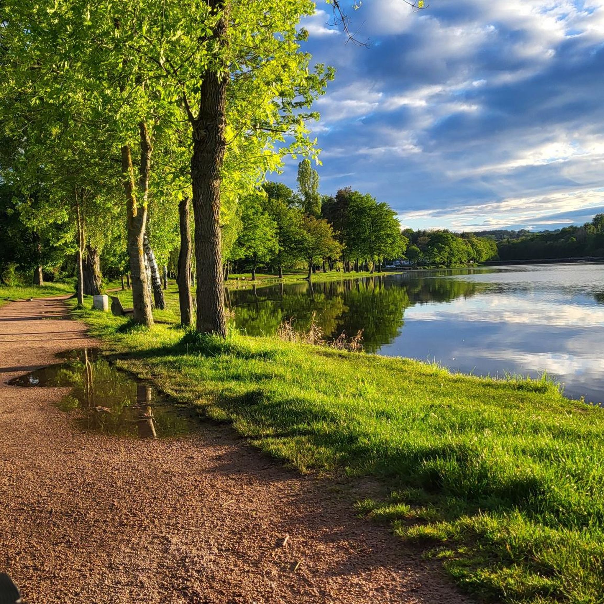
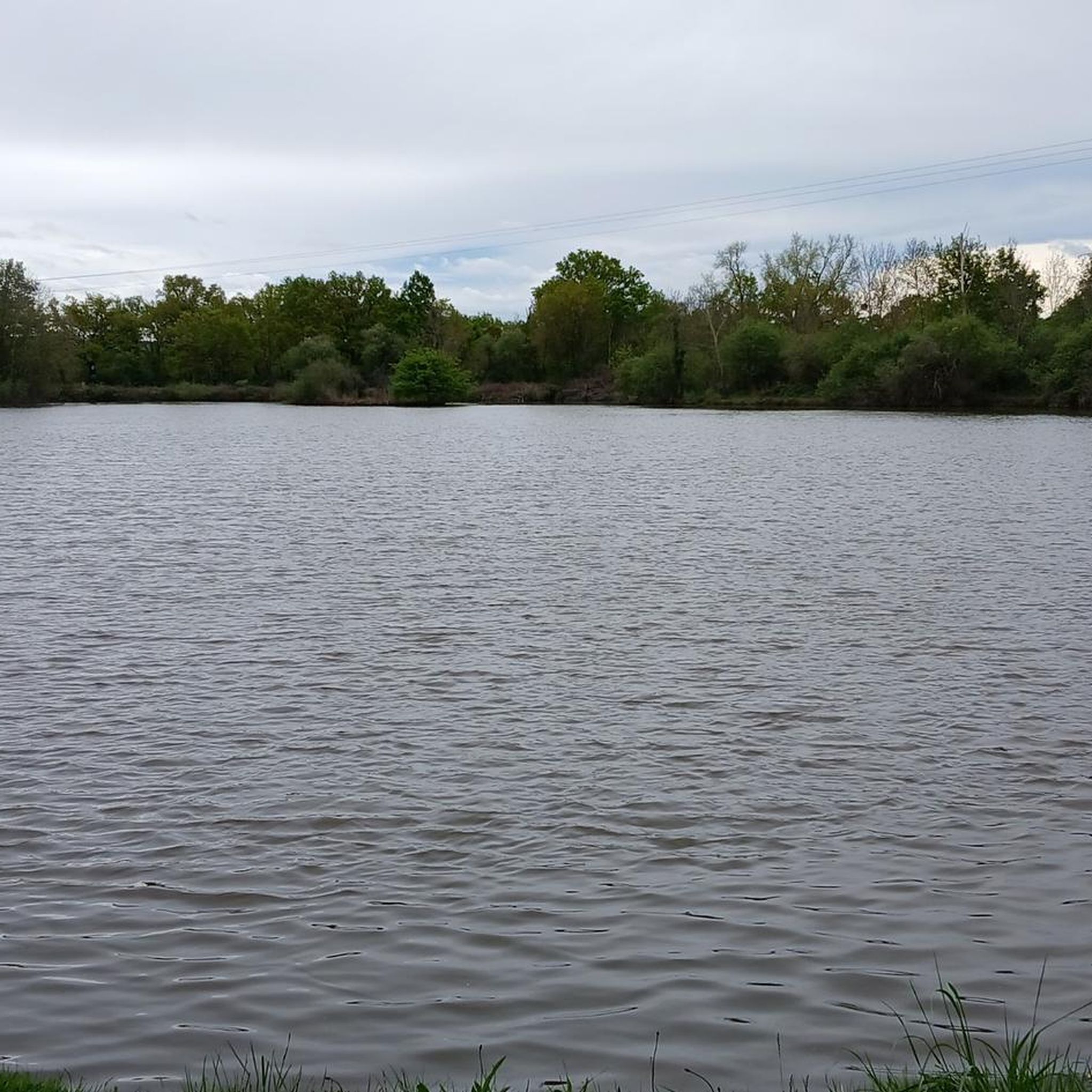
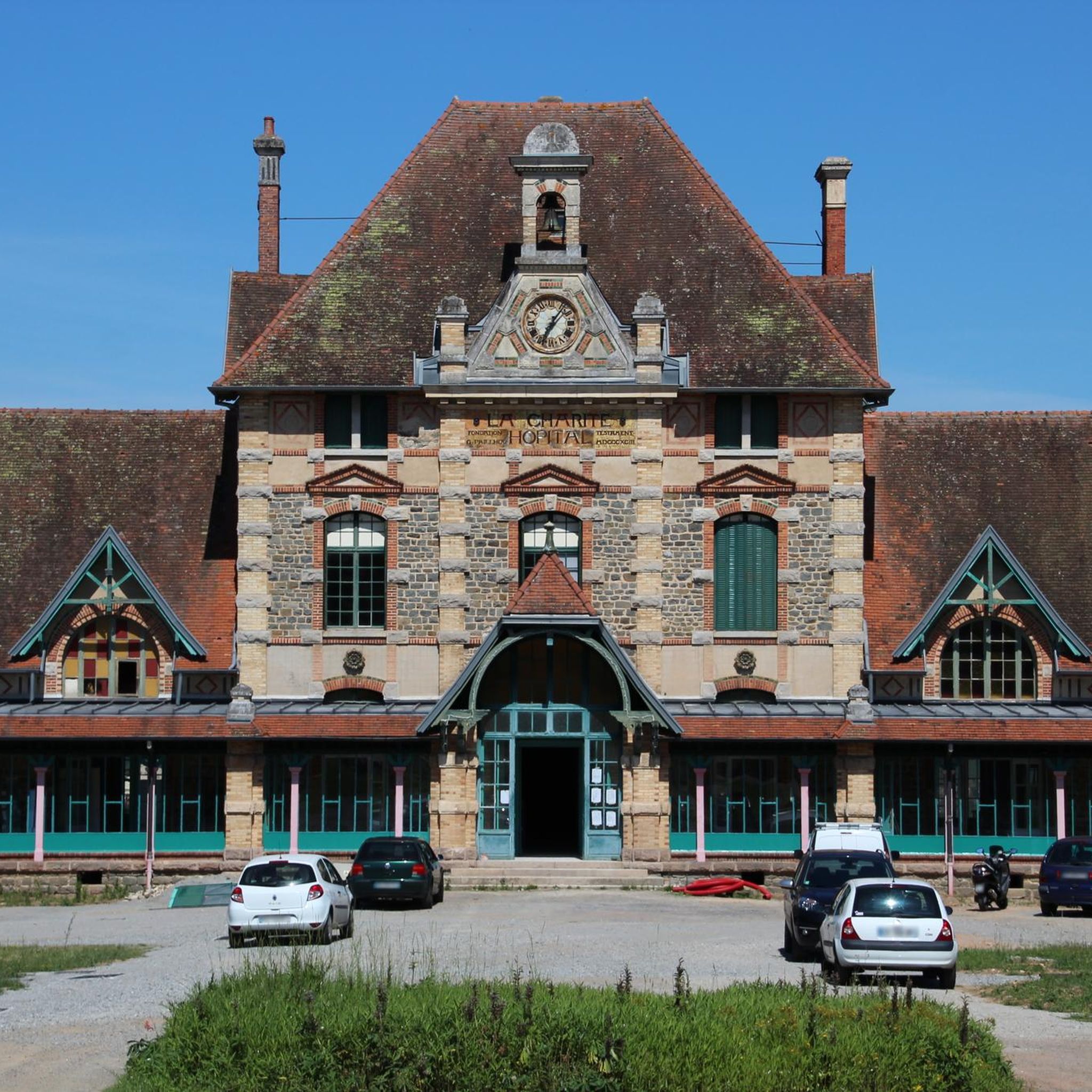

Tips from the Community

The hike can no longer be done as a circular tour. The dam across which the river is to be crossed is interrupted. So we had to go back the same way. it was a beautiful hike nonetheless
0
0

Very beautiful hike. A bit technical in places, especially on the rocks, but it's very doable. Very beautiful views, magnificent.
0
0

Beautiful photos but no longer relevant as the pond has been dry for two years.
0
0

It's amazing what was built there. And it's great that it's still being used for other purposes instead of falling into disrepair.
1
0
Hiking can see not at all marked if we do not know the area we can quickly get lost but very beautiful landscape
0
0

Great ride, but big descent and obviously big climb, be well equipped.
1
0

The indicated start of the tour does not work. The path for the descent from A bus stop to the Cheruferweg does not even exist.
0
0
Frequently Asked Questions
How many running routes are available in Lavault-Sainte-Anne?
Lavault-Sainte-Anne offers a good selection of running routes, with over 20 different trails to explore. These routes cater to various fitness levels, ranging from easy paths to more challenging runs.
What kind of terrain can I expect on the running trails in Lavault-Sainte-Anne?
The terrain in Lavault-Sainte-Anne is quite varied, featuring gentle hills and valleys with elevations between 203 and 332 meters. You'll find paths along the scenic Cher River and its gorges, as well as trails around picturesque ponds like the Étang de Sault and Étang de Languistre. Some routes also lead through woods and sunny open areas.
Are there easy running routes suitable for beginners in Lavault-Sainte-Anne?
Yes, there are several easy running routes perfect for beginners or those looking for a relaxed jog. For instance, the area offers 5 routes classified as easy. A good option is the Along the Cher loop from Lavault-Sainte-Anne, which is 8.4 km long and features minimal elevation gain.
Can I find challenging running trails in the area?
Absolutely. For experienced runners seeking a challenge, Lavault-Sainte-Anne provides 4 difficult routes with significant elevation changes. One such route is the Suspension bridge over the Cher River – Along the Cher loop from Lavault-Sainte-Anne, which spans 22.5 km and includes over 550 meters of ascent, offering both a workout and scenic river views.
Are there any circular running routes around Lavault-Sainte-Anne?
Many of the running paths in Lavault-Sainte-Anne are designed as circular loops, allowing you to start and finish at the same point. For example, the The old mill of Sault – Étang de Sault loop from Lavault-Sainte-Anne is a moderate 14.8 km circular route that takes you around the beautiful Étang de Sault.
What natural features or landmarks can I see while jogging?
While jogging in Lavault-Sainte-Anne, you can enjoy several natural features and landmarks. The Cher River and its gorges are prominent, and you might cross the Suspension bridge over the Cher River. Picturesque bodies of water like the Étang de Sault and Cournauron pond are also along various routes. You could also pass by the historic Saint Joseph Chapel.
Are the running trails in Lavault-Sainte-Anne dog-friendly?
Many trails in natural settings like Lavault-Sainte-Anne are generally dog-friendly, especially if your dog is well-behaved and kept on a leash. However, it's always recommended to check local signage for specific rules or restrictions, particularly around protected natural areas or private property.
Are there family-friendly running options in Lavault-Sainte-Anne?
Yes, the area offers several routes suitable for families, especially those with gentle gradients and well-maintained paths. The trails around the Étang de Sault, for instance, provide a pleasant and relatively flat surface, ideal for a family jog or walk. Always consider the distance and difficulty to match your family's capabilities.
Where can I park when accessing the running trails?
Parking availability varies depending on the specific trailhead. Generally, you can find parking in or near the village of Lavault-Sainte-Anne, especially close to popular access points for the Cher River trails or the Étang de Sault. Look for designated parking areas or roadside spots where permitted.
What do other runners say about the trails in Lavault-Sainte-Anne?
The running trails in Lavault-Sainte-Anne are highly regarded by the komoot community, with an average rating of 4.4 stars from over 20 reviews. Runners often praise the diverse landscapes, from riverside paths to tranquil forest trails, and appreciate the variety of routes available for different skill levels.
What is the best season for running in Lavault-Sainte-Anne?
Lavault-Sainte-Anne is enjoyable for running throughout much of the year. Spring and autumn offer pleasant temperatures and beautiful scenery with blooming flora or vibrant fall colors. Summer can be warm, so early morning or late afternoon runs are ideal. Winter running is possible, but some trails might be muddy or slippery, so appropriate footwear is recommended.
Are there any longer running routes for experienced runners looking for endurance challenges?
Yes, for those seeking longer endurance runs, Lavault-Sainte-Anne has routes that extend over significant distances. The Bear Castle – Suspension bridge over the Cher River loop from Lavault-Sainte-Anne is a challenging 40.7 km trail with substantial elevation gain, often taking around 5 hours to complete. The region also hosts a 42km trail race, indicating the presence of even more extensive routes.
Most popular routes around Lavault-Sainte-Anne
Most popular attractions around Lavault-Sainte-Anne

Get inspired with the komoot mobile app


Explore more
Browse the best Running Trails & Routes in other regions.
