The best running trails around Soulvache
4.3
(19)
388
runners
42
runs
Jogging around Soulvache offers a tranquil setting for outdoor activity in Western France, characterized by its serene, undeveloped landscapes. The region features a gently varied terrain with elevations ranging from 37 to 109 meters, providing both flat stretches and slight inclines suitable for running. The landscape is composed of rural countryside, bocage, meadows, fields, and woodlands, with the Semnon River flowing through the commune. This natural environment provides diverse scenery for running routes.
Best jogging routes around Soulvache
- The most…
Last updated: July 4, 2026
14
runners
4.78km
00:30
50m
50m
Easy run. Great for any fitness level. Mostly paved surfaces. Suitable for all skill levels.
13
runners
29.1km
03:02
120m
120m
Hard run. Very good fitness required. Mostly paved surfaces. Suitable for all skill levels.

Sign up for free
12
runners
18.2km
01:53
90m
90m
Hard run. Very good fitness required. Mostly paved surfaces. Suitable for all skill levels.
4
runners
11.3km
01:14
120m
120m
Moderate run. Good fitness required. Mostly paved surfaces. Suitable for all skill levels.
3.0
(1)
5
runners
7.95km
00:52
50m
50m
Moderate run. Good fitness required. Mostly paved surfaces. Suitable for all skill levels.
Get access to more routes and recommendations from other explorers.
Sign up for free
Already have an account?
Our route recommendations are based on thousands of hikes, rides, and runs completed by other people on komoot.
Start today with a free account
Your next adventure awaits.
Login or Signup


Tips from the Community

Hello, your Point of Interest • 10 km cycle path from Rougé to Châteaubriant (48°16'19.6"N 1°39'50.1"W) is not located correctly on the map. Here are the correct coordinates: 47°46'48.7"N 1°27'11.3"W. Sincerely
0
0

The line from Châteaubriant to Ploërmel is an old railway line, this route was closed and classified as "Voie Verte" it linked the station of Châteaubriant in Loire-Atlantique to that of Ploërmel in Morbihan. To this day there is still the building of the chief station as well as the station
1
0

Portion of a greenway built in places around Bain-de-Bretagne, it is useful for passing through the city without having to cross the urban portions.
0
0

It's completely flat and almost empty - try to get some speed.
0
0
Frequently Asked Questions
How many running routes are available around Soulvache?
There are over 40 dedicated running routes around Soulvache, offering a variety of distances and difficulty levels. You'll find everything from easy loops to more challenging long-distance trails to explore.
What is the typical terrain like for jogging in Soulvache?
The terrain in Soulvache is gently varied, with elevations ranging from 37 to 109 meters. You can expect a mix of flat stretches and slight inclines, making it ideal for jogging without being overly challenging. The landscape features rural countryside, meadows, fields, and bocage (a mosaic of small fields, hedgerows, and woodlands).
What's the best time of year for running in Soulvache?
Soulvache benefits from a mild oceanic climate, making it suitable for outdoor pursuits for much of the year. Summers are comparatively dry, moderately warm, and sunny, while winters are humid and generally mild. This means you can enjoy running in the region during most seasons, though spring and autumn offer particularly pleasant conditions.
Are there easy running paths suitable for beginners in Soulvache?
Yes, Soulvache offers several easy running paths perfect for beginners or those looking for a relaxed jog. An excellent option is the Running loop from Coësmes, which is about 3 miles (4.8 km) long and winds through pleasant rural landscapes.
Are there any challenging long-distance running routes near Soulvache?
Absolutely. For runners seeking a more demanding experience, there are several difficult long-distance routes. The Railway station loop from Teillay is a substantial 18.9 miles (30.4 km) trail that takes you through bocage and fields, offering a significant challenge.
Can I find circular running routes in the Soulvache area?
Yes, many of the running routes around Soulvache are circular, allowing you to start and finish at the same point. For example, the Étang de Boispéan loop from Rougé is a moderate 12 km circular route that takes you past the scenic Étang de Boispéan.
What kind of scenery can I expect on a run in Soulvache?
You can expect picturesque rural scenery, characterized by meadows, fields, and woodlands. The Semnon River flows through the commune, suggesting potential for scenic routes along its banks. The wider area also features trails through bocage landscapes and past ponds like the Rigaudière pond, offering diverse natural beauty.
Are there any interesting sights or landmarks to see while running near Soulvache?
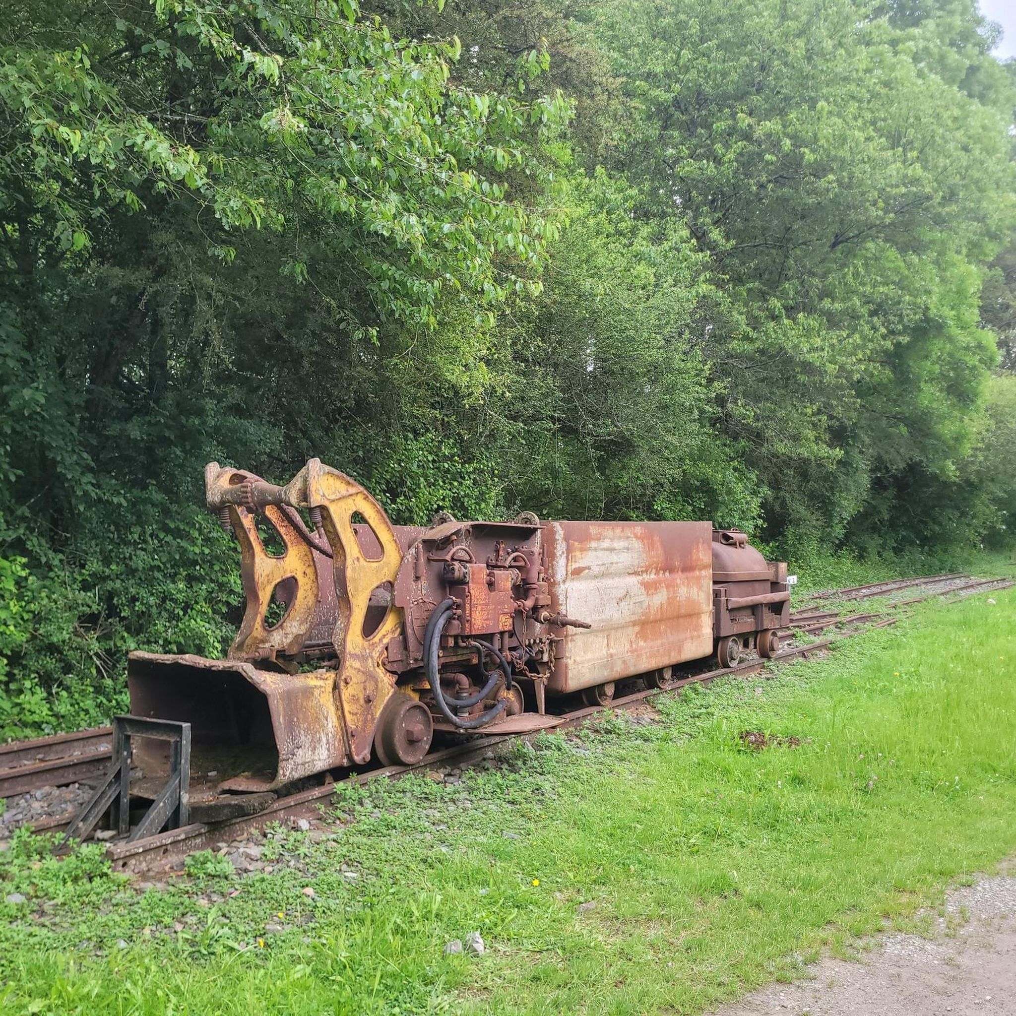
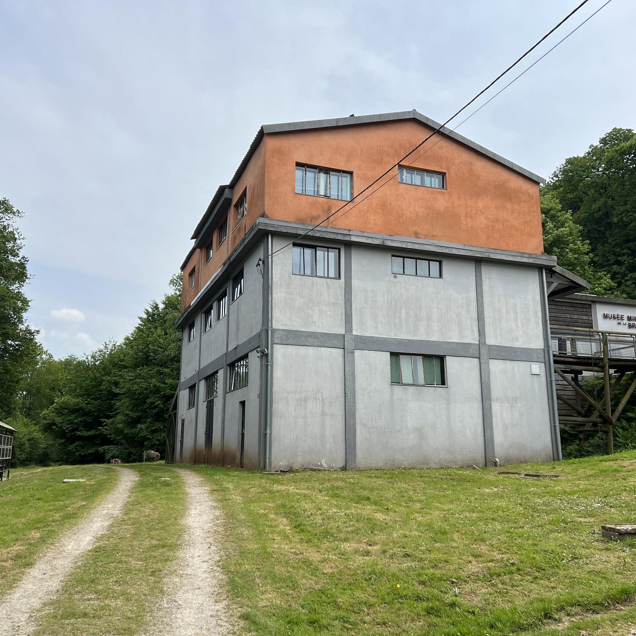
While Soulvache is primarily known for its natural tranquility, the surrounding area offers some points of interest. You might encounter historic remnants, such as the ruins of an old bridge over the Semnon. Nearby attractions include the Choisel Pond and the Musée des Mines de la Brutz, which could be explored before or after your run.
What do other runners enjoy most about the trails in Soulvache?
The running routes in Soulvache are highly rated by the komoot community, with an average score of 3.9 stars from over 30 reviews. Runners often praise the serene, undeveloped landscapes, the variety of terrain, and the peaceful escape into nature that the region provides.
Are there dog-friendly running trails around Soulvache?
While specific rules for dogs on trails are not always posted, the rural nature of Soulvache and its network of local trails generally make it a welcoming area for running with dogs. It's always advisable to keep your dog on a leash and ensure you clean up after them to respect the local environment and other trail users.
Are there family-friendly running options in Soulvache?
Yes, the easier and shorter routes around Soulvache are well-suited for families looking to enjoy a run together. The gently varied terrain and peaceful countryside provide a safe and enjoyable environment for all ages. Consider routes like the Running loop from Coësmes for a pleasant family outing.
Are there running routes that pass by water features like lakes or rivers?
Yes, the Semnon River flows through Soulvache, offering potential for scenic routes along its banks. Additionally, some trails in the wider area, such as the Étang de Boispéan loop from Teillay, will take you past beautiful ponds and lakes, providing refreshing views during your run.
Most popular attractions around Soulvache

Get inspired with the komoot mobile app


Explore more
Browse the best Running Trails & Routes in other regions.
