The best mountain hikes around Apremont
4.7
(11)
110
hikers
6
hikes
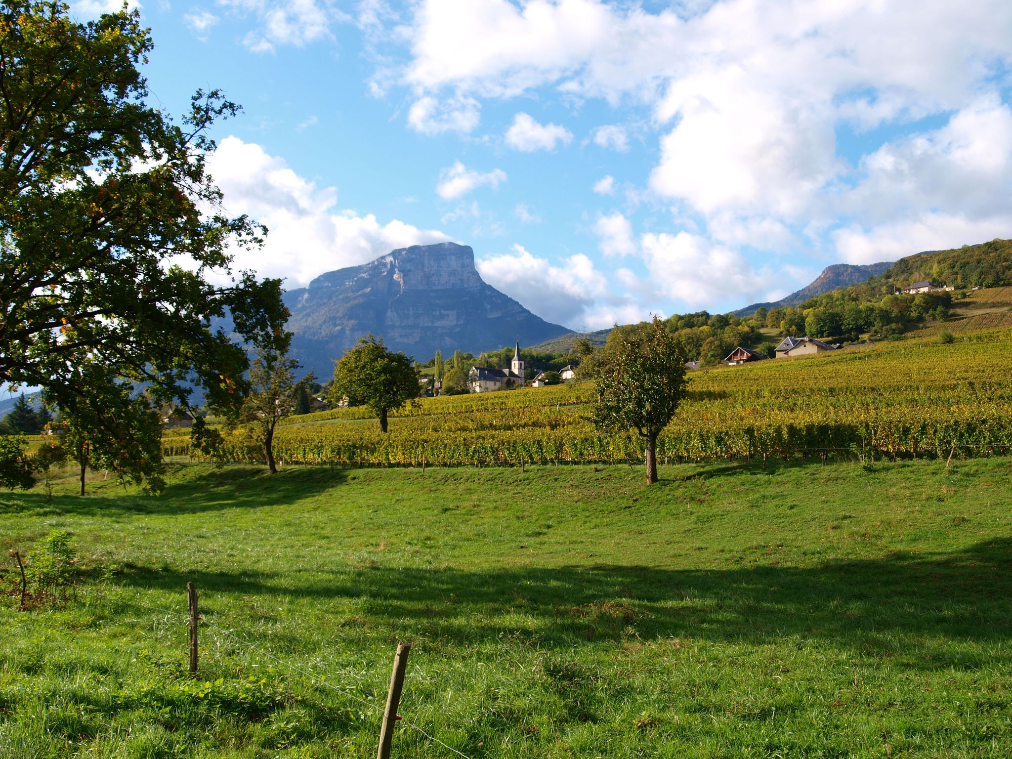
Mountaineering routes around Apremont are primarily found in the Savoie region, situated at the foot of the Chartreuse mountain range in the Alps. This area features diverse mountainous terrain, including the striking Mont Granier and other peaks within the Chartreuse massif. The landscape is characterized by forests, torrents, and significant natural sites such as the Saint-Même Cirque waterfalls and the Cascade of Pichut. The region offers varied elevations and natural features suitable for mountain exploration.
Best mountaineering routes around Apremont
…Last updated: May 20, 2026
5.0
(2)
9
hikers
9.43km
03:39
480m
480m
Hard mountaineering route. Good fitness required. Sure-footedness, sturdy shoes and alpine experience required.
5.0
(1)
6
hikers
5.40km
02:36
390m
390m
Moderate mountaineering route. Good fitness required. Mostly accessible paths. Sure-footedness required.

Sign up for free
3.0
(1)
6
hikers
12.0km
05:31
1,070m
1,070m
Hard mountaineering route. Very good fitness required. Mostly accessible paths. Sure-footedness required.
4
hikers
7.29km
02:58
410m
410m
Hard mountaineering route. Good fitness required. Sure-footedness, sturdy shoes and alpine experience required.
5.0
(1)
4
hikers
8.27km
03:03
330m
330m
Hard mountaineering route. Good fitness required. Sure-footedness, sturdy shoes and alpine experience required.
Our route recommendations are based on thousands of hikes, rides, and runs completed by other people on komoot.
Start today with a free account
Your next adventure awaits.
Login or Signup
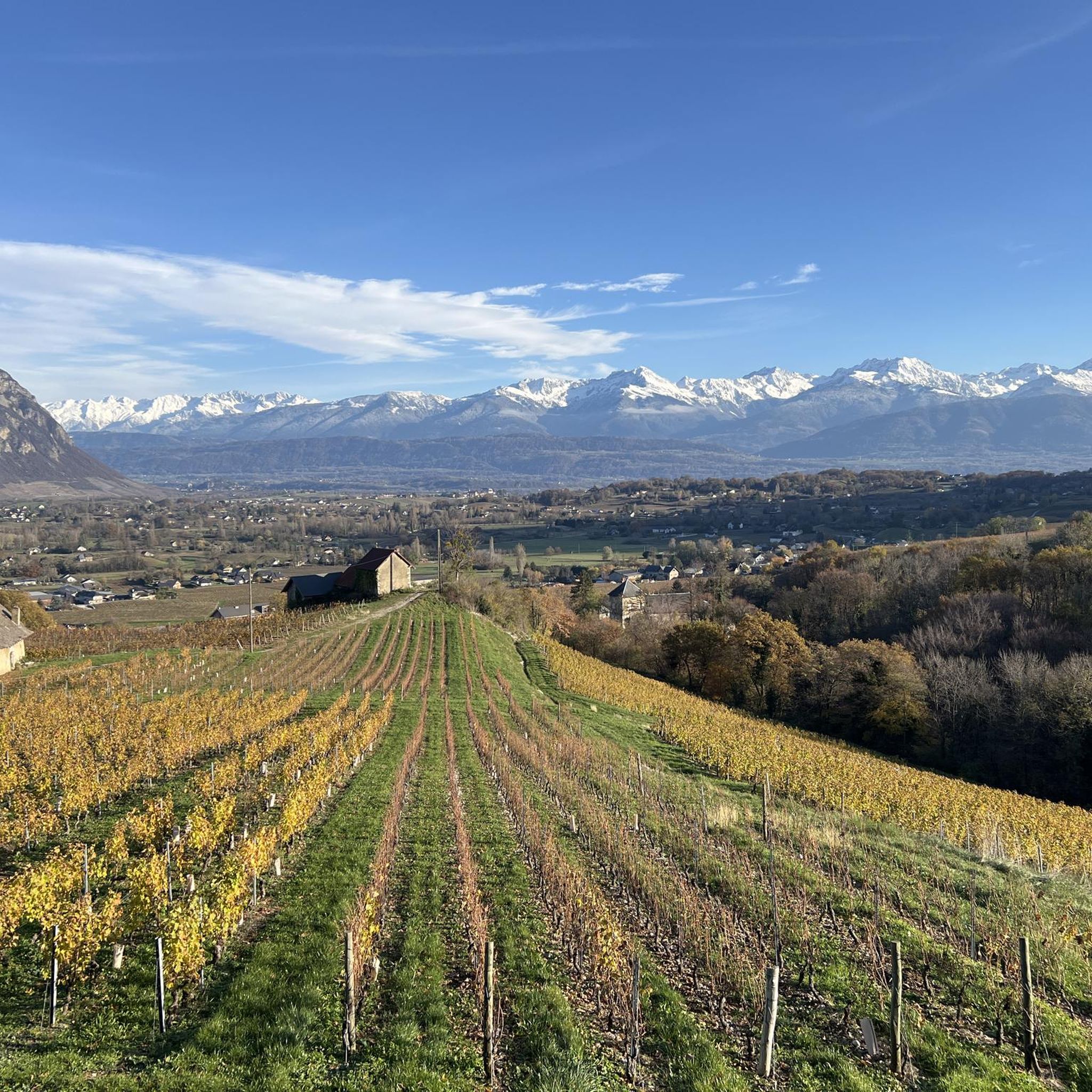
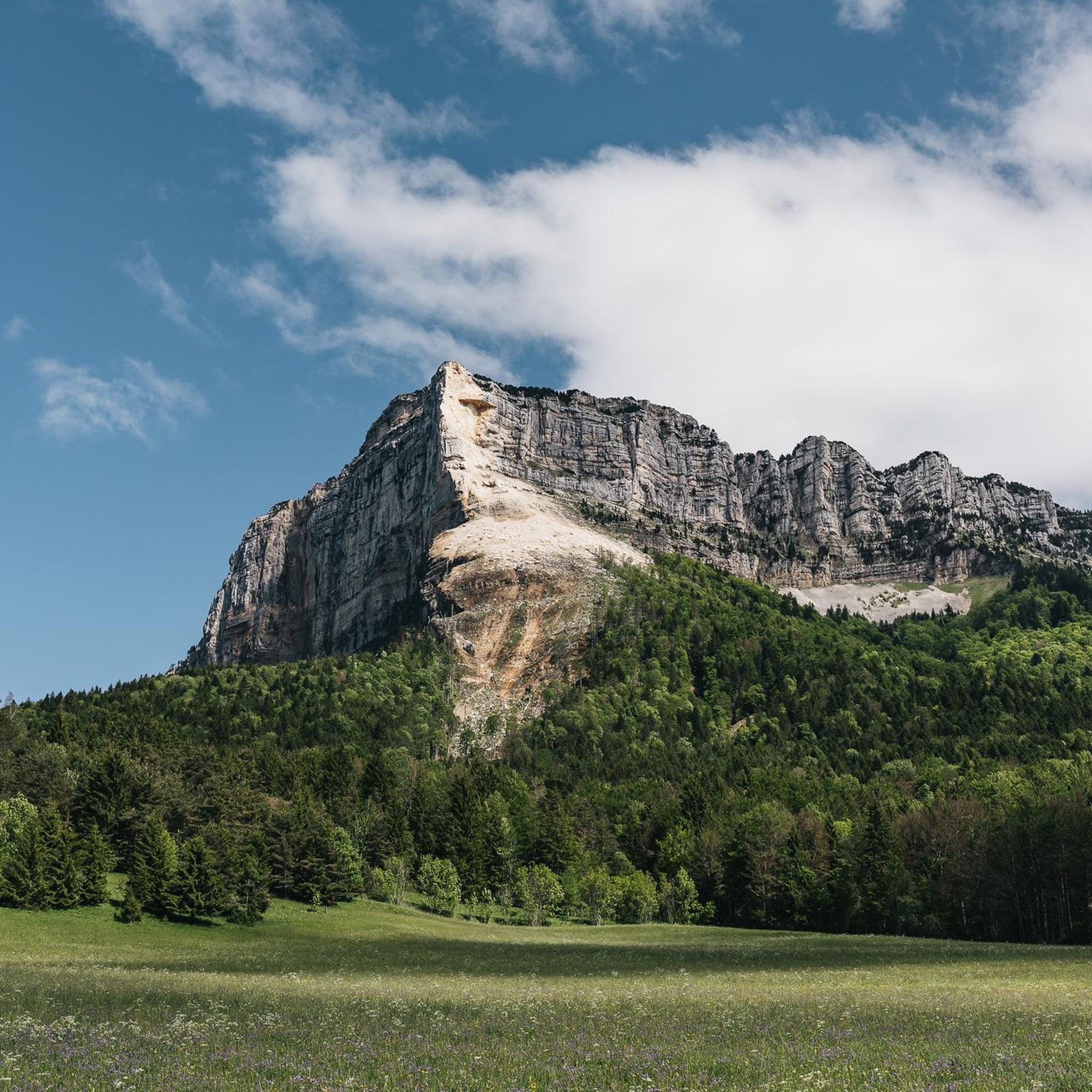
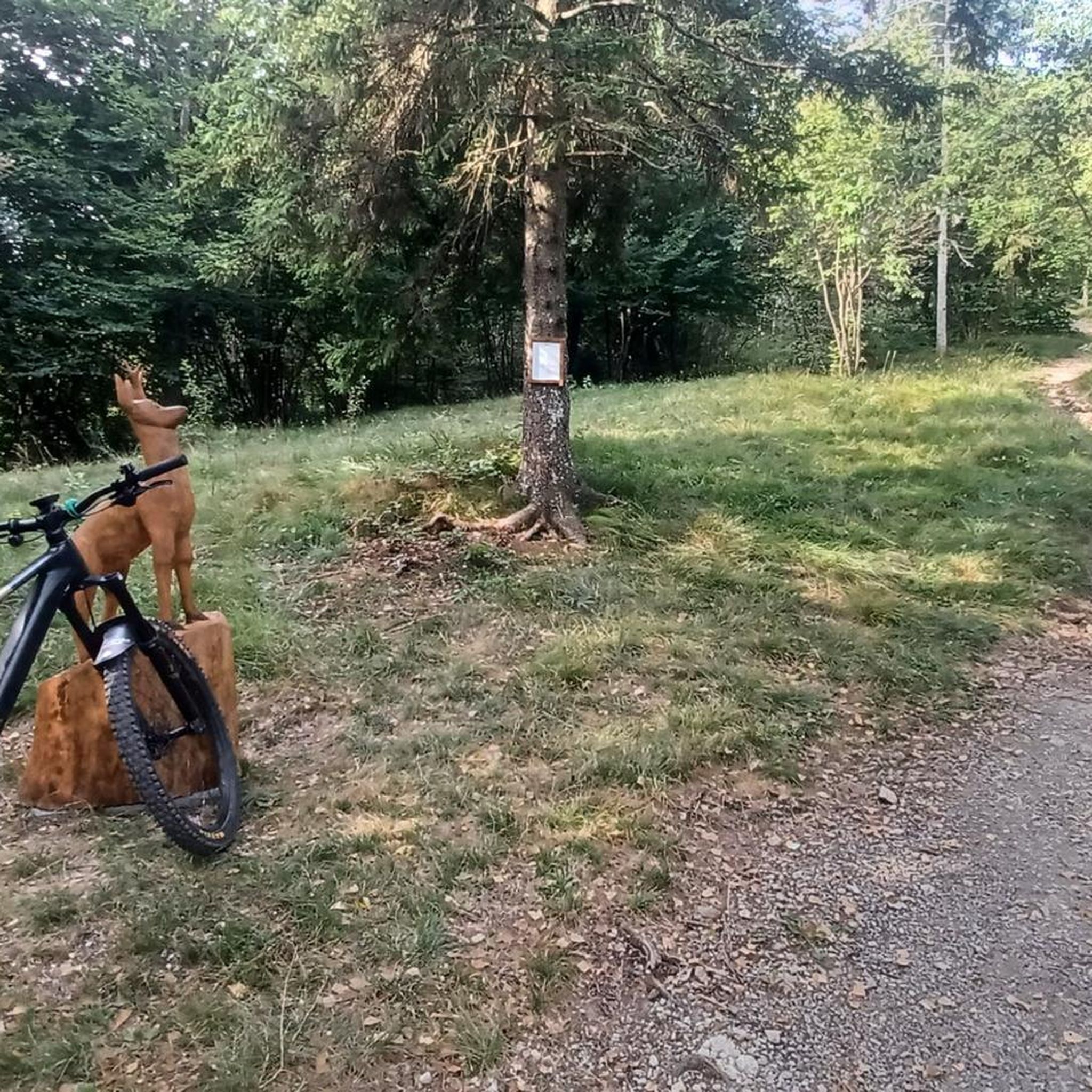
Other adventures around Apremont

Tips from the Community

Caution: This section involves a semi-stop and traverse along a cliff face without a handrail. Not recommended for people prone to vertigo or for children.
0
0
Warning: The climb from the east side is extremely steep! An average gradient of around 10% over 9-10 km.
1
0

Very good and quite accessible as a pass. Be careful of overtaking cars.
1
2

From Saint Pierre you pass through Entrement le veux and arrive at the top of Col de Granier, if you take the first right towards Col de Marcieu until Saint Hillaire de Touvet and descend into the valley to Grenoble, very calm, rolling and bucolic
0
0

Done today, lots of snow at the top, the climbing sections are dry and the descent too
0
0

Wonderful panorama of the Bauges, the Chambéry valley and all the massifs of the Northern Alps.
0
0

As you climb up to the Col de l'Alpe, you will find a summit cross dating from the early 20th century. Erected in 1926, it was built to commemorate local climbers and hikers who lost their lives in the Alps.
2
0

Ascent accessible to all but requiring sure steps in the mountains. May be a little more difficult for people prone to vertigo. It may be necessary to secure the little ones with a lanyard (ledges). Some passages require help with your hands (semi-climbing) but the holds are beautiful and accessible to all. The descent by the same path is undoubtedly less easy and should be reserved for those in the know.
0
0
Frequently Asked Questions
How many mountaineering routes are available around Apremont?
There are nine distinct mountaineering routes around Apremont, primarily located in the Savoie region at the foot of the Chartreuse mountain range. These routes offer varied terrain, from moderate ascents to more challenging climbs.
Are there any moderate mountaineering routes suitable for those with less experience?
Yes, there are a couple of moderate routes. For example, the Pas de Belles Ombres loop from Sainte-Marie-du-Mont is a 3.3-mile (5.4 km) trail that takes about 2 hours 35 minutes to complete, leading through varied mountain terrain. Another moderate option is the Pointe de la Galoppaz loop from Puygros, which is 5.1 miles (8.3 km) long.
What kind of natural landmarks can I expect to see on these routes?
The Apremont area in Savoie is rich in natural features. You can explore the stunning Chartreuse Massif and the striking Mont Granier. Notable natural sites include the Saint-Même Cirque Waterfalls, offering walks through forests and along torrents, and the impressive Pichut Waterfall, a 30-meter high cascade. Mountain passes like Granier Pass also provide breathtaking views.
Are there any circular mountaineering routes in the Apremont area?
Yes, several routes are designed as loops, allowing you to start and end at the same point. A popular option is the difficult Mont Granier – Col de l'Alpette loop from Parking de la Plagne, which covers 7.0 miles (11.2 km) and offers expansive views. Another challenging circular route is the Mount Outheran - 1686 m loop from Le Désert d'Entremont.
What is the best time of year for mountaineering in Apremont?
The best time for mountaineering in the Apremont area (Savoie) is typically from late spring to early autumn (May to October) when the weather is more stable and trails are generally free of snow. However, conditions can vary, especially at higher elevations in the Chartreuse massif, so always check local forecasts before heading out.
Are there any specific parking areas or trailheads for these routes?
Yes, routes often start from designated parking areas. For instance, the Mont Granier – Col de l'Alpette loop begins from Parking de la Plagne. Other routes may start from villages like Le Désert d'Entremont or Sainte-Marie-du-Mont. Always check the specific route details for precise starting points and parking information.
What do other mountaineers say about the routes around Apremont?
The mountaineering routes around Apremont are highly regarded by the komoot community, with an average rating of 4.7 stars from over 11 reviews. Mountaineers often praise the diverse mountainous terrain, the stunning views of the Chartreuse massif, and the variety of challenges offered by the trails.
Can I bring my dog on the mountaineering routes?
While specific regulations can vary by trail and protected areas within the Chartreuse massif, many trails in the region are dog-friendly, especially if dogs are kept on a leash. It's always recommended to check local signage or park regulations for the specific route you plan to undertake to ensure compliance.
Are there any routes that pass by waterfalls?
Yes, the region is known for its beautiful waterfalls. The Saint-Même Cirque Waterfalls are a must-see natural site at the base of the Hauts de Chartreuse nature reserve, offering walks through forests and along torrents. The Pichut Waterfall is another significant natural site worth exploring.
What are the most challenging mountaineering routes in the area?
Many of the routes around Apremont are classified as difficult. For instance, the Pointe de la Galoppaz – Col de la Buffaz loop from Puygros is a demanding 7.5-mile (12.0 km) route with over 1000 meters of elevation gain, offering a significant challenge for experienced mountaineers.
Is public transport available to access the mountaineering trailheads?
While Apremont itself is well-connected, direct public transport access to all specific mountaineering trailheads within the Chartreuse massif can be limited. Some villages near trail starts may be accessible by regional buses, but for ultimate flexibility, a car is often recommended. Always check local bus schedules for the specific starting point of your chosen route.
Most popular routes around Apremont
Most popular attractions around Apremont

Get inspired with the komoot mobile app


Explore more
Browse the best Mountain Hikes & Routes in other regions.
