The best road cycling routes around Moutiers
4.7
(58)
1,448
riders
142
rides
Road cycling routes around Moutiers are characterized by varied terrain, including valleys and moderate ascents. The region, situated in the Tarentaise Valley, offers a mix of landscapes suitable for road cycling, from more gentle valley routes to paths with notable elevation changes. Cyclists can explore areas with diverse natural features and access some of the iconic mountain passes in the Alps.
Best road cycling routes around Moutiers
- The most popular road cycling route is Roadbike loop from Auboué, a…
Last updated: May 13, 2026
5.0
(4)
42
riders
49.4km
02:38
220m
220m
Moderate road ride. Good fitness required. Some segments of this route may be unpaved and difficult to ride.
5.0
(1)
23
riders
38.1km
01:38
300m
300m
Easy road ride. Great for any fitness level. Mostly well-paved surfaces and easy to ride.

Sign up for free
5.0
(1)
11
riders
30.3km
01:21
310m
310m
Moderate road ride. Good fitness required. Mostly well-paved surfaces and easy to ride.
3.0
(1)
9
riders
45.5km
02:10
520m
520m
Moderate road ride. Good fitness required. Mostly well-paved surfaces and easy to ride.
7
riders
25.9km
01:09
260m
260m
Easy road ride. Great for any fitness level. Mostly well-paved surfaces and easy to ride.
Get access to more routes and recommendations from other explorers.
Sign up for free
Already have an account?
Our route recommendations are based on thousands of hikes, rides, and runs completed by other people on komoot.
Start today with a free account
Your next adventure awaits.
Login or Signup


Tips from the Community

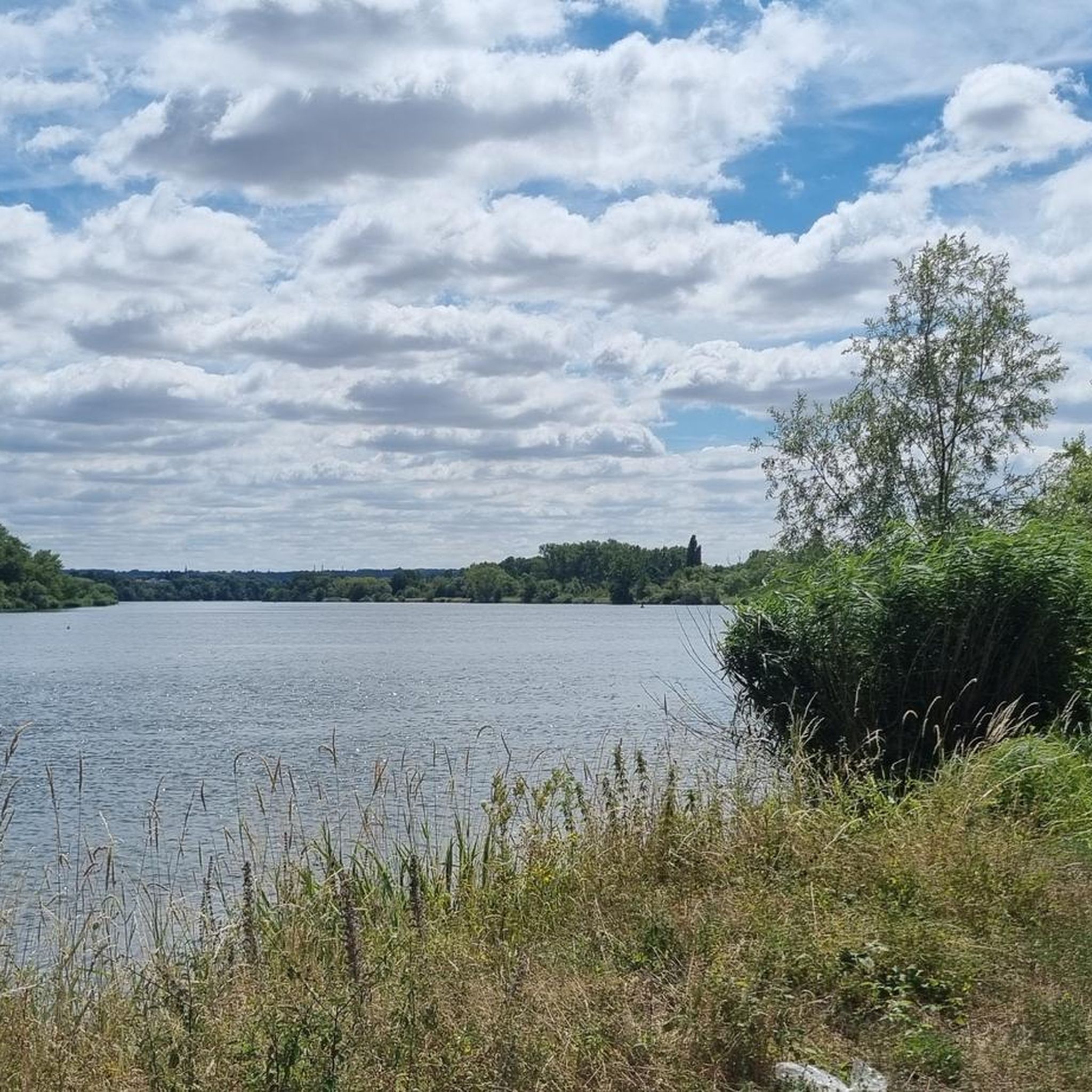
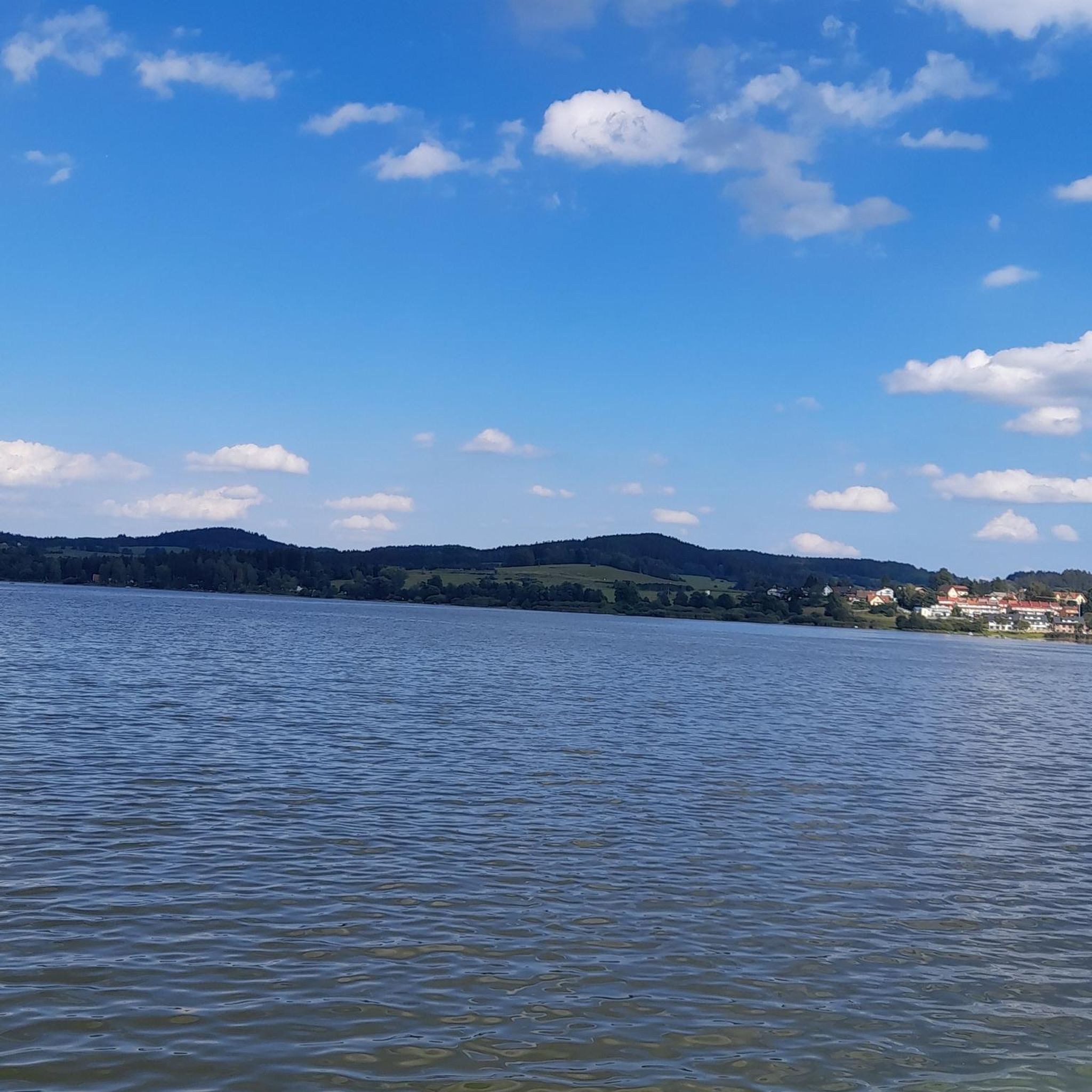
💧 Plan d'Eau de la Sangsue – Small Natural Lake Tucked away in the countryside lies the Plan d'Eau de la Sangsue, a small natural lake with wild shoreline vegetation, calm waters, and a natural charm. While its name ("Leech Pond") is unusual, the body of water is a peaceful spot for walkers, nature lovers, and birdwatchers. 🌿 Surrounded by forest and meadows, the pond is a refuge for amphibians, insects, and waterfowl. A narrow path leads along the shore – ideal for a quiet break in nature. Tip: Particularly beautiful in spring or when there is light fog – then the pond appears almost mystical. Perfect for a quiet rest off the beaten track.
0
0

Very beautiful pond with a lot of activities for children (playground and outdoor activity park)
0
0

Great body of water in the early morning
1
0
Briey lake for a 2.5km tour, it is an ideal place for a walk, a run, and joining the greenway or forest paths in the surrounding area. ' It has a children's play park.
0
0

The castle to Richemont was first mentioned in the 14th century. Since then, like so many historic buildings, it has been destroyed and rebuilt several times in the region. In 1776 it was restored again. At present, there is a socio-educational center in the castle.
1
0
Frequently Asked Questions
How many road cycling routes are available around Moûtiers?
Moûtiers offers a wide selection of road cycling routes, with over 130 options available on komoot. These routes cater to various skill levels, from easy valley rides to challenging mountain ascents.
What kind of terrain can I expect on road cycling routes near Moûtiers?
The road cycling routes around Moûtiers are characterized by varied terrain. You'll find everything from more gentle valley paths to significant mountain ascents, often leading above the tree line into a 'fabulous mountain world' with endless panoramic views. The Tarentaise Valley provides a dramatic backdrop for many rides.
Are there any challenging mountain passes for experienced road cyclists near Moûtiers?
Absolutely. Moûtiers is an excellent base for tackling demanding mountain passes. Notable ascents include the Col de la Loze, which features a dedicated cycle path between Méribel and Courchevel, and the Col de la Madeleine, known for its south ramp with an average gradient of 6.4 percent. Other iconic passes like the Col de l'Iseran and Col du Petit St Bernard are also accessible, offering extensive climbing opportunities and breathtaking views.
What are some scenic viewpoints or landmarks to look out for on road cycling routes?
Many routes ascend above the tree line, offering spectacular panoramic views of the Alpine scenery and the Tarentaise Valley. For specific points of interest, you might encounter natural attractions like the Plan d'Eau de la Sangsue or Tivoli Pond. Within Moûtiers itself, you can explore cultural elements such as street art, with over forty monumental frescoes creating an original way to discover the city's historic center. For more information on the street art, you can visit coeurdetarentaise-tourisme.com.
Are there any easy or beginner-friendly road cycling routes in the area?
Yes, while many routes are challenging, Moûtiers also offers easier options. For instance, the Roadbike loop from Val de Briey is an easy 19.4-mile (31.2 km) trail with moderate elevation gain, often completed in about 1 hour 23 minutes. The region's network includes valley paths suitable for different ability levels.
What is the best time of year for road cycling around Moûtiers?
July and September are particularly popular months for road cyclists in the Moûtiers region. During these periods, the weather is generally favorable for tackling the mountain passes and enjoying the stunning Alpine scenery.
What do other road cyclists enjoy most about road cycling in Moûtiers?
The road cycling experience around Moûtiers is highly rated by the komoot community, with an average score of 4.6 stars from over 35 reviews. Cyclists often praise the diverse terrain, from scenic valley paths to challenging mountain climbs, and the stunning Alpine landscapes that provide a rewarding backdrop to their rides.
Are there any circular road cycling routes available?
Yes, many routes around Moûtiers are designed as loops, allowing you to start and finish in the same location. Examples include the popular Roadbike loop from Auboué, a 31.6-mile (50.8 km) moderate route, and the Montvaux Valley loop from Jœuf, which covers 38.8 miles (62.4 km) with significant climbs.
Can I find routes that pass through the Vanoise National Park?
Yes, some road cycling routes in the Moûtiers area provide access to the Vanoise National Park. Routes leading towards areas like Champagny le Haut offer spectacular roads carved into cliffs and allow cyclists to experience the significant natural beauty and ecological importance of the park.
Are there any long-distance road cycling routes for endurance riders?
For endurance riders, Moûtiers offers routes with considerable length and elevation gain. Loops incorporating passes like the Col de la Madeleine can cover over 134 km with more than 4,000 meters of elevation gain, often requiring more than 5 hours of riding and very good fitness.
What is the difficulty level of road cycling routes in Moûtiers?
The routes in Moûtiers range from easy to difficult. While there are 17 easy routes and 105 moderate routes, there are also 11 difficult routes. Many of the mountain ascents are categorized as 'hard,' requiring very good fitness due to their length and significant elevation changes, often exceeding 3,000 feet of elevation gain.
Are there specific routes that offer a significant climbing challenge?
For a significant climbing challenge, consider routes that tackle the Col du Tra, with a loop from Moûtiers spanning 52.8 km and 1,740 meters of elevation gain. The Col de la Loze also presents a major challenge, with routes from Moûtiers involving climbs of 1,870 meters over 32.9 km.
Most popular attractions around Moutiers

Get inspired with the komoot mobile app


Explore more
Browse the best Road cycling routes in other regions.
