The best running trails around Valleroy
4.3
(42)
3,151
runners
176
runs
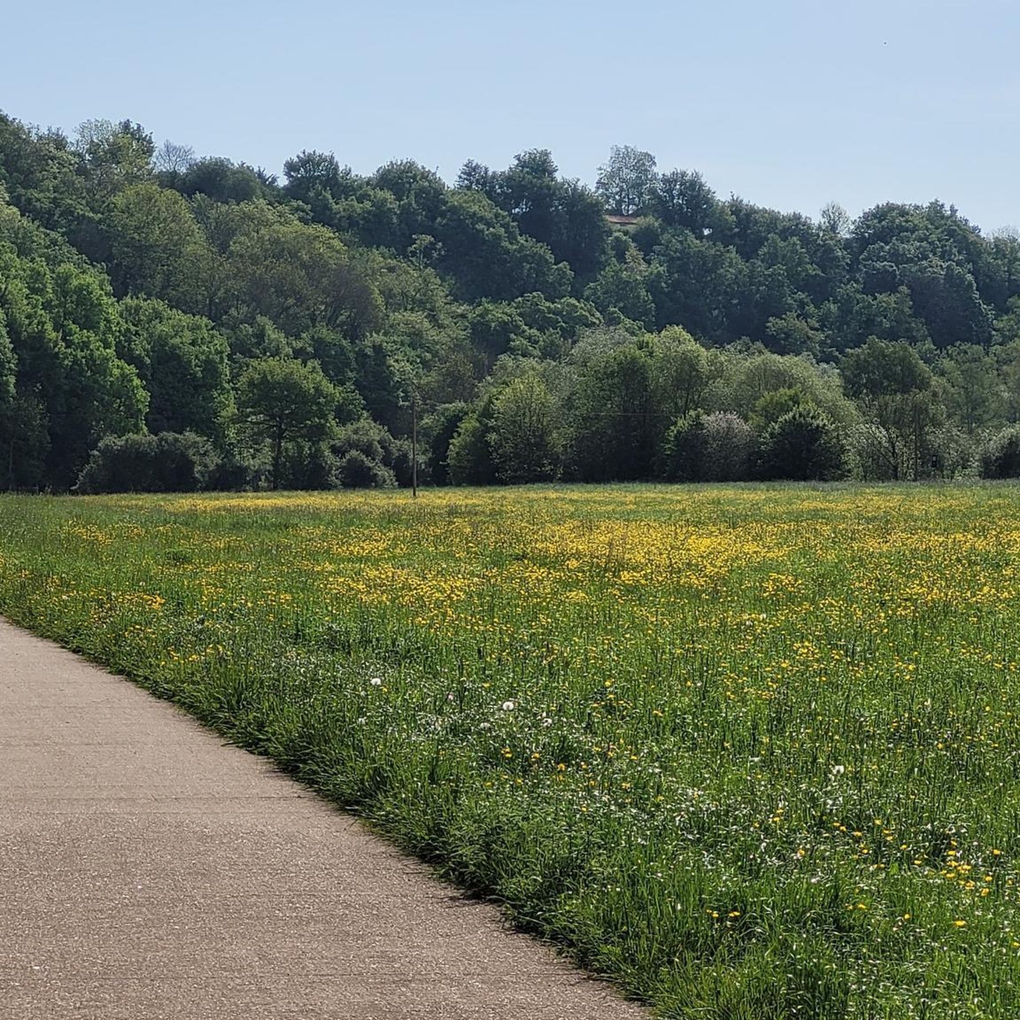
Jogging routes around Valleroy traverse a landscape characterized by the extensive Forêt communale de Valleroy, covering 363 hectares, which offers diverse forest environments. The region is situated within the Lorraine Regional Natural Park, featuring deciduous forests, wooded hills, and varied terrain. Elevations in Valleroy range from 181 to 252 meters, providing options for runs with gentle gradients or more challenging ascents. This natural setting offers a network of paths suitable for different fitness levels.
Best jogging routes around Valleroy
- The…
Last updated: July 5, 2026
4.0
(1)
11
runners
16.1km
01:57
150m
150m
Hard run. Very good fitness required. Mostly paved surfaces. Suitable for all skill levels.
10
runners
6.83km
00:46
70m
70m
Moderate run. Good fitness required. Mostly paved surfaces. Suitable for all skill levels.

Sign up for free
5.0
(1)
9
runners
11.8km
01:18
90m
90m
Moderate run. Good fitness required. Mostly paved surfaces. Suitable for all skill levels.
7
runners
4.88km
00:32
50m
50m
Easy run. Great for any fitness level. Mostly paved surfaces. Suitable for all skill levels.
5
runners
4.50km
00:29
70m
70m
Easy run. Great for any fitness level. Mostly paved surfaces. Suitable for all skill levels.
Get access to more routes and recommendations from other explorers.
Sign up for free
Already have an account?
Our route recommendations are based on thousands of hikes, rides, and runs completed by other people on komoot.
Start today with a free account
Your next adventure awaits.
Login or Signup



Frequently Asked Questions
How many running routes are available in Valleroy?
Valleroy offers a wide selection of over 170 running routes, catering to various fitness levels and preferences. You'll find everything from easy paths to more challenging trails through the region's diverse landscapes.
What kind of terrain can I expect on the jogging trails around Valleroy?
The running trails in Valleroy primarily traverse the extensive Forêt communale de Valleroy, offering diverse forest environments. You can expect a mix of paved and unpaved forest paths, with routes ranging from gentle gradients to more challenging ascents, as the area's altitude varies between 181 and 252 meters. The broader Lorraine Regional Natural Park also contributes to this varied landscape of deciduous forests and wooded hills.
Are there running routes suitable for beginners or those looking for an easy jog?
Yes, Valleroy has several options for easy jogs. There are 13 routes specifically rated as easy, perfect for beginners or those seeking a relaxed run. An example is the Running loop from Auboué, which is just under 5 km with moderate elevation gain.
What do other runners enjoy most about jogging in Valleroy?
The running routes in Valleroy are highly rated by the komoot community, with an average score of 4.2 stars from over 30 reviews. Runners often praise the quiet woodlands, varied terrain, and the opportunity to explore the natural beauty of the communal forests. Over 2600 runners have used komoot to discover the trails here.
Are there any circular running routes in Valleroy?
Many of the running routes in Valleroy are designed as loops, offering convenient circular paths. For instance, the popular Running loop from Valleroy is a moderate 6.8 km circuit that combines forest paths with open sections, providing a great experience without retracing your steps.
Can I bring my dog on the running trails?
While specific regulations for dogs on Valleroy's communal forest trails are not detailed, generally, dogs are welcome on most public trails in France, especially in natural areas like forests, provided they are kept under control, often on a leash. It's always advisable to check local signage or specific route details for any restrictions.
Are there any interesting landmarks or natural features to see along the running routes?
While jogging, you'll primarily experience the natural beauty of the Forêt communale de Valleroy. For specific points of interest nearby, you might consider visiting the Plan d'Eau de la Sangsue, a lake that offers a pleasant natural setting, or the Church of Mance, a historical religious building in the vicinity.
Is there parking available near the running trails in Valleroy?
Given the extensive communal forest and the popularity of outdoor activities, it is generally possible to find parking near access points to the running trails in and around Valleroy. Many routes, especially those starting from villages or specific forest entrances, will have designated or informal parking areas nearby.
What is the best time of year for running in Valleroy?
Valleroy's diverse forest environments make it suitable for running throughout much of the year. Spring and autumn offer pleasant temperatures and beautiful scenery with changing foliage. Summer provides lush green trails, though it can be warmer. Even winter running can be enjoyable, with the forest offering a serene, crisp atmosphere, though some paths might be muddy or icy.
Are there any longer, more challenging running routes for experienced runners?
Yes, for experienced runners seeking a challenge, Valleroy offers several longer and more difficult routes. The Forest path – Forest Path loop from Cités des Tunnels is a notable example, covering 15.8 km with significant elevation changes, typically taking almost two hours to complete.
Can I access the running trails using public transport?
While Valleroy is a commune with local amenities, direct public transport links specifically to trailheads might be limited. It's advisable to check local bus schedules or regional transport options to Valleroy itself, and then plan to access trails from the village center or a short walk/cycle away. The region's focus on natural parks often means trail access is more geared towards private vehicle use.
Are there any running routes that pass through different sections of the Forêt communale de Valleroy?
Yes, the extensive Forêt communale de Valleroy is divided into distinct sections like 'bois de WOEVRE,' 'bois RENATAN,' and 'bois de VROAILLE.' Many running routes are designed to take you through these varied parts of the forest, allowing you to experience different types of woodland and terrain within a single run. For example, the Running loop from Hatrize leads through local woodlands that are part of this larger communal forest system.
Most popular attractions around Valleroy

Get inspired with the komoot mobile app


Explore more
Browse the best Running Trails & Routes in other regions.
