The best running trails around Sommerviller
4.2
(28)
1,963
runners
198
runs
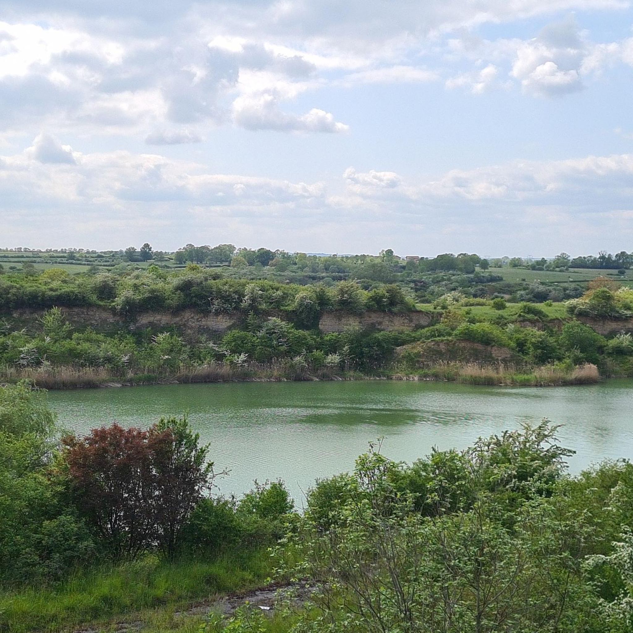
Jogging routes around Sommerviller offer a diverse landscape for runners in northeastern France. The region features accessible paths along waterways such as the Canal de la Marne au Rhin, providing generally flat terrain ideal for sustained running. Sommerviller itself ranges in elevation from 207 to 320 meters, allowing for routes with slight variations in gradient. The surrounding area also includes forests and natural spaces, contributing to varied running environments.
Best jogging routes around Sommerviller
- The most popular jogging route is…
Last updated: July 7, 2026
48
runners
17.6km
01:54
150m
150m
Hard run. Very good fitness required. Mostly paved surfaces. Suitable for all skill levels.
5.0
(1)
13
runners
8.38km
00:53
50m
50m
Moderate run. Good fitness required. Mostly paved surfaces. Suitable for all skill levels.

Sign up for free
9
runners
8.06km
00:54
150m
150m
Moderate run. Good fitness required. Mostly paved surfaces. Suitable for all skill levels.
7
runners
14.0km
01:28
120m
120m
Moderate run. Good fitness required. Mostly paved surfaces. Suitable for all skill levels.
4.0
(1)
7
runners
14.5km
01:30
80m
80m
Moderate run. Good fitness required. Mostly paved surfaces. Suitable for all skill levels.
Get access to more routes and recommendations from other explorers.
Sign up for free
Already have an account?
Our route recommendations are based on thousands of hikes, rides, and runs completed by other people on komoot.
Start today with a free account
Your next adventure awaits.
Login or Signup


Tips from the Community

This charming, sparsely populated town does not lack charm. Crossed by two rivers, the Marne-Rhine canal and the Sânon, it offers lovely views thanks to its remarkable bridges. Also note the beautiful Saint-Denis church.
3
0

Saint-Gérard is a church from 1740 with a beautiful forecourt, which offers the opportunity to rest. There are benches in front of the church which serve as seating and through the trees also one or the other shady spots ...
4
0
Frequently Asked Questions
What types of running terrain can I expect around Sommerviller?
Sommerviller offers a varied landscape for runners. You'll find generally flat paths along waterways like the Marne–Rhine Canal, which are ideal for sustained running. The commune itself has elevations ranging from 207 to 320 meters, meaning you can also find routes with gentle hills and slight variations in gradient. The surrounding area also features forests and natural spaces, providing diverse running environments.
Are there many running routes available in the Sommerviller area?
Yes, the Sommerviller region boasts a comprehensive network of over 200 running routes. This includes a mix of easy, moderate, and more challenging trails, ensuring options for all fitness levels and preferences.
Can I find easy or beginner-friendly jogging routes in Sommerviller?
Absolutely. Sommerviller offers 14 easy running routes perfect for beginners or those looking for a relaxed jog. These often follow the tranquil canal paths or less elevated sections of the local terrain, providing a pleasant and accessible experience.
Are there any circular running routes around Sommerviller?
Many of the running paths in the region are designed as loops. For example, the Running loop from Sommerviller is a moderate 8.8 km path that offers a balanced experience with gentle inclines. The Crévic loop from Crévic is another popular circular option, covering 8.4 km through varied terrain.
What do other runners think about the trails in Sommerviller?
The running routes in Sommerviller are highly regarded by the komoot community, holding an average rating of 4.2 stars from over 20 reviews. More than 1800 runners have explored the area using komoot, often praising the scenic canal-side trails and the variety of terrain available.
Are there any scenic spots or landmarks to see while running near Sommerviller?
Yes, the region offers several points of interest. You can run alongside the historic Marne–Rhine Canal, which provides a picturesque backdrop. Other nearby attractions include the impressive Lunéville Castle and the Varangéville footbridge, which can be incorporated into longer runs or visited separately.
Are the running routes in Sommerviller suitable for families?
Many of the flatter paths, especially those along the Canal de la Marne au Rhin, are suitable for families. These generally car-free stretches offer a safe and enjoyable environment for a family jog or walk. The easy and moderate routes are typically well-maintained and accessible.
Can I bring my dog on the running trails in Sommerviller?
While specific regulations can vary, many natural paths and canal-side trails in France are generally dog-friendly, especially if your dog is kept on a leash. It's always advisable to check local signage for any specific restrictions, particularly in protected natural areas. The open nature of many routes around Sommerviller makes them suitable for running with a canine companion.
Are there any longer or more challenging running routes available?
For those seeking a greater challenge, Sommerviller offers 34 difficult running routes. A notable option is the Saint-Gérard Church loop from Dombasle-sur-Meurthe, a challenging 17.6 km trail with significant elevation gain, typically taking nearly two hours to complete.
What is the best time of year to go jogging in Sommerviller?
The region's climate makes spring and autumn particularly pleasant for jogging, with mild temperatures and beautiful scenery. Summer mornings and evenings also offer comfortable conditions. While winter running is possible, some paths might be less maintained or slippery, so appropriate gear is recommended.
Are there any running routes that offer good views?
The routes along the Canal de la Marne au Rhin are particularly scenic, offering tranquil water views and glimpses of the surrounding French countryside. Paths that ascend to higher elevations within the commune, such as parts of the Running loop from Haraucourt, can also provide expansive vistas of the Meurthe River valley and beyond.
How long does a typical running route take in Sommerviller?
Running times vary greatly depending on the route's length and difficulty. For instance, the moderate Crévic loop from Crévic can be completed in about 53 minutes, while the more challenging Saint-Gérard Church loop from Dombasle-sur-Meurthe typically takes around 1 hour and 55 minutes.
Most popular routes around Sommerviller
Most popular attractions around Sommerviller

Get inspired with the komoot mobile app


Explore more
Browse the best Running Trails & Routes in other regions.
