The best running trails around Lantéfontaine
4.4
(23)
2,065
runners
141
runs
Jogging routes around Lantéfontaine are situated within the Meurthe-et-Moselle department of France, offering varied terrain for outdoor activities. The area features a landscape characterized by green spaces, including wetlands, ponds, and deciduous forests, with altitudes ranging from 213m to 261m. Its proximity to the Lorraine Regional Natural Park provides access to extensive trail networks that traverse diverse environments, from dense woodlands to open panoramas. These natural features create a suitable environment for exploring the region on foot.
Best jogging routes…
Last updated: May 25, 2026
4.0
(1)
16
runners
18.2km
02:11
190m
190m
Hard run. Very good fitness required. Mostly paved surfaces. Suitable for all skill levels.
14
runners
16.0km
01:50
200m
200m
Hard run. Very good fitness required. Mostly paved surfaces. Suitable for all skill levels.

Sign up for free
5.0
(1)
9
runners
4.38km
00:27
30m
30m
Easy run. Great for any fitness level. Mostly paved surfaces. Suitable for all skill levels.
4.0
(2)
94
runners
15.6km
01:42
150m
150m
Hard run. Very good fitness required. Mostly paved surfaces. Suitable for all skill levels.
4
runners
4.54km
00:32
40m
40m
Easy run. Great for any fitness level. Mostly paved surfaces. Suitable for all skill levels.
Get access to more routes and recommendations from other explorers.
Sign up for free
Already have an account?
Our route recommendations are based on thousands of hikes, rides, and runs completed by other people on komoot.
Start today with a free account
Your next adventure awaits.
Login or Signup


Tips from the Community


💧 Plan d'Eau de la Sangsue – Small Natural Lake Tucked away in the countryside lies the Plan d'Eau de la Sangsue, a small natural lake with wild shoreline vegetation, calm waters, and a natural charm. While its name ("Leech Pond") is unusual, the body of water is a peaceful spot for walkers, nature lovers, and birdwatchers. 🌿 Surrounded by forest and meadows, the pond is a refuge for amphibians, insects, and waterfowl. A narrow path leads along the shore – ideal for a quiet break in nature. Tip: Particularly beautiful in spring or when there is light fog – then the pond appears almost mystical. Perfect for a quiet rest off the beaten track.
0
0

Very beautiful pond with a lot of activities for children (playground and outdoor activity park)
0
0
Great body of water in the early morning
1
0
Briey lake for a 2.5km tour, it is an ideal place for a walk, a run, and joining the greenway or forest paths in the surrounding area. ' It has a children's play park.
0
0
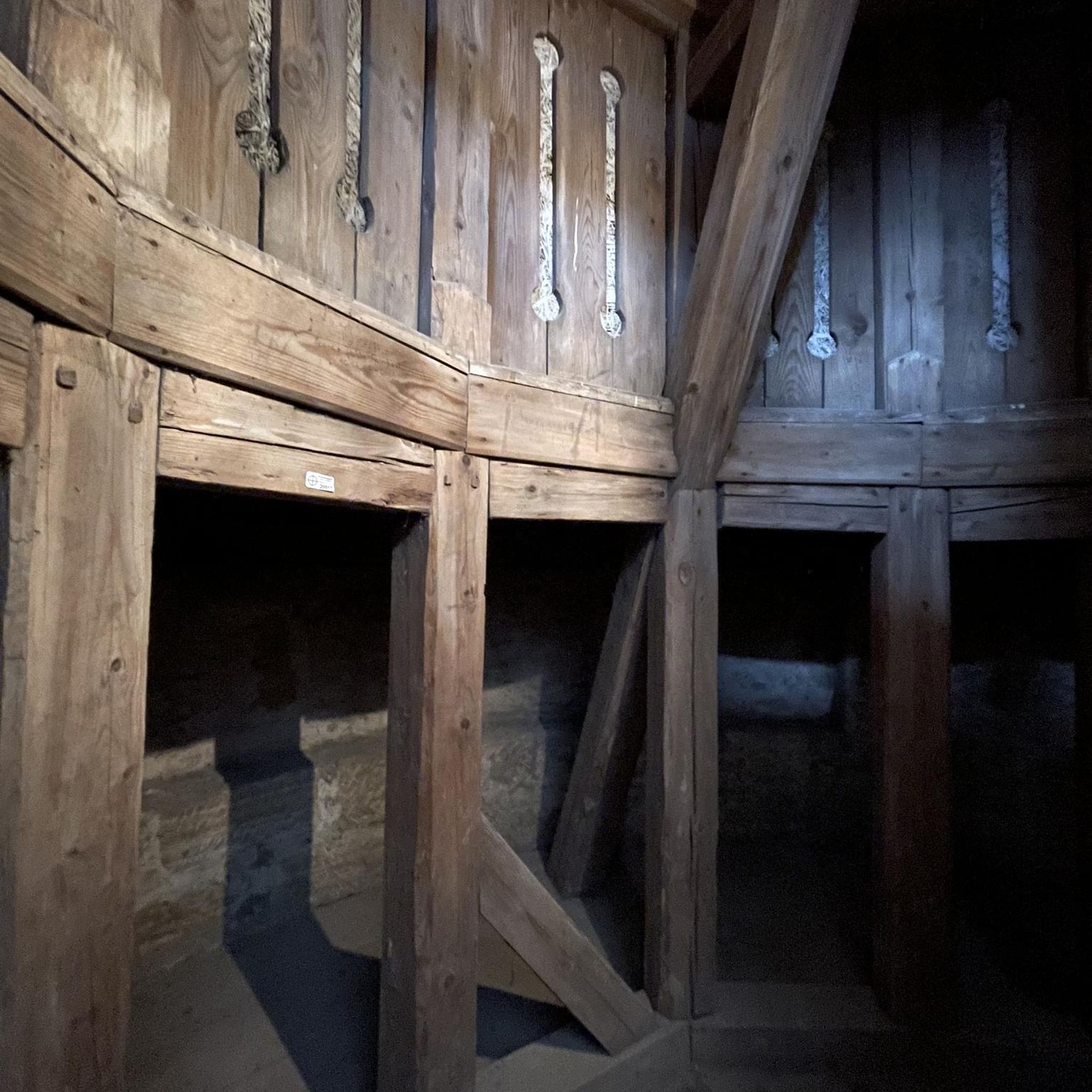
At one end of the greenway, this old tunnel is closed all year round and open for exceptional events such as the 'Entre Chien et Loup' race. Dug in 1903 by the Eastern Railway Company, disused since 1990.
0
0
Frequently Asked Questions
How many jogging routes are available around Lantéfontaine?
There are over 150 running routes around Lantéfontaine, offering a wide variety of options for different preferences and fitness levels. The area is well-suited for exploring on foot, with many trails winding through its natural landscapes.
Are there running routes suitable for beginners in Lantéfontaine?
Yes, Lantéfontaine offers a good selection of easier running paths. You can find around 16 routes classified as 'easy', perfect for those new to running or looking for a more relaxed pace. These routes typically feature less elevation gain and shorter distances.
What kind of terrain can I expect on the running trails near Lantéfontaine?
The running trails around Lantéfontaine feature diverse terrain, characteristic of the Meurthe-et-Moselle department. You'll encounter green spaces, including wetlands, ponds, and deciduous forests. The region's proximity to the Lorraine Regional Natural Park means access to extensive trail networks that traverse varied environments, from dense woodlands to open panoramas.
Are there any circular running routes in the Lantéfontaine area?
Yes, many of the running routes around Lantéfontaine are circular, allowing you to start and finish at the same point. For example, popular options include the Plan d'Eau de la Sangsue loop from Mance or the more challenging Plan d'Eau de la Sangsue loop from Lantéfontaine.
What natural features or landmarks can I see while running in Lantéfontaine?
While running in Lantéfontaine, you can enjoy several natural features and points of interest. The prominent Plan d'Eau de la Sangsue is a central attraction, with many routes circling its waters. You might also encounter the Fond de la Noue trail or the Along the creek highlight, offering serene natural views. The broader region, including the Vallon de Bellefontaine, is known for its wetlands, ponds, and wooded valleys.
Are the running trails around Lantéfontaine dog-friendly?
Generally, the natural environments around Lantéfontaine, including areas within the Lorraine Regional Natural Park, are suitable for running with dogs. However, it's always recommended to keep your dog on a leash, especially in areas with wildlife or near agricultural land, and to respect local signage regarding pet regulations.
Can I find family-friendly jogging paths near Lantéfontaine?
Yes, Lantéfontaine offers several jogging paths that are suitable for families. Look for the 'easy' rated routes, which are typically shorter and have less challenging terrain. These paths provide a great way for families to enjoy the natural surroundings together.
What do other runners enjoy most about jogging in Lantéfontaine?
The running routes in Lantéfontaine are highly rated by the komoot community, with an average score of 4.5 stars from over 20 reviews. Runners often praise the diverse landscapes, including the wetlands, ponds, and deciduous forests, as well as the well-maintained trail networks that offer options for various ability levels.
Is there parking available near the running routes in Lantéfontaine?
While specific parking facilities aren't detailed for every route, many trails, especially those starting from popular points like the Plan d'Eau de la Sangsue, typically have nearby parking options. It's advisable to check the starting point of your chosen route for the most convenient parking.
What is the best time of year to go running in Lantéfontaine?
Lantéfontaine's natural setting makes it suitable for running throughout much of the year. Spring and autumn offer pleasant temperatures and beautiful scenery with changing foliage. Summer can be warm but is enjoyable, especially in shaded forest areas. Winter running is possible, but trails might be muddy or icy, so appropriate gear is recommended.
Are there any longer, more challenging running routes for experienced runners?
Absolutely. For experienced runners seeking a greater challenge, Lantéfontaine offers several difficult routes. An example is the Plan d'Eau de la Sangsue loop from Briey, which covers over 15 km and includes significant elevation changes, providing a demanding workout amidst varied scenery.
Can I find running routes that offer significant elevation gain in Lantéfontaine?
Yes, while Lantéfontaine itself has modest altitudes, the surrounding region and some longer routes do offer notable elevation gain. For instance, the Plan d'Eau de la Sangsue – Plan d'Eau de la Sangsue loop from Mance, a difficult 29.7 km route, features over 460 meters of ascent, providing a good challenge for those looking to incorporate hills into their run.
Most popular attractions around Lantéfontaine

Get inspired with the komoot mobile app


Explore more
Browse the best Running Trails & Routes in other regions.
