The best walks and hikes around Niedermagstatt
4.6
(975)
4,354
hikers
196
hikes
Hiking around Niedermagstatt offers trails through a landscape characterized by gentle elevations and open areas, often connecting villages and historical points of interest. The routes typically feature modest ascents and descents, making them accessible for various fitness levels. This region provides opportunities to explore local pathways and discover landmarks within a rural setting.
Best hiking trails around Niedermagstatt
- The most popular hiking route is Liberty Lime Tree (1792) – Old Tower of Dietwiller loop from Mulhouse, a 6.1 miles…
Last updated: May 20, 2026
3.0
(1)
8
hikers
8.74km
02:19
80m
80m
Moderate hike. Good fitness required. Easily-accessible paths. Suitable for all skill levels.
4.5
(2)
9
hikers
8.58km
02:19
110m
110m
Moderate hike. Good fitness required. Easily-accessible paths. Suitable for all skill levels.

Sign up for free
5.0
(3)
6
hikers
8.15km
02:04
20m
20m
Moderate hike. Good fitness required. Easily-accessible paths. Suitable for all skill levels.
5.0
(2)
8
hikers
13.9km
03:46
190m
190m
Moderate hike. Good fitness required. Easily-accessible paths. Suitable for all skill levels.
5.0
(5)
6
hikers
10.2km
02:40
80m
80m
Moderate hike. Good fitness required. Easily-accessible paths. Suitable for all skill levels.
Get access to more routes and recommendations from other explorers.
Sign up for free
Already have an account?
Our route recommendations are based on thousands of hikes, rides, and runs completed by other people on komoot.
Start today with a free account
Your next adventure awaits.
Login or Signup
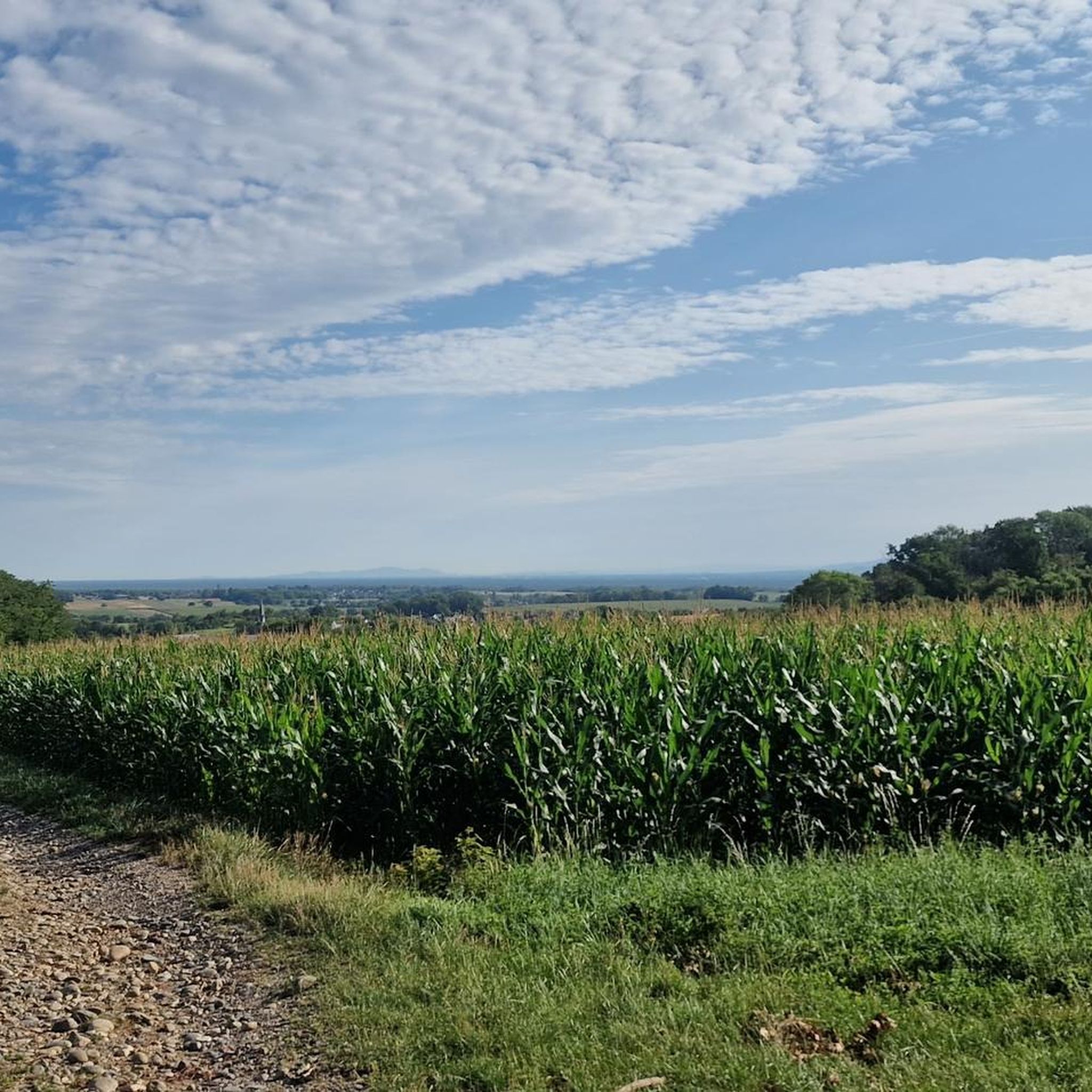
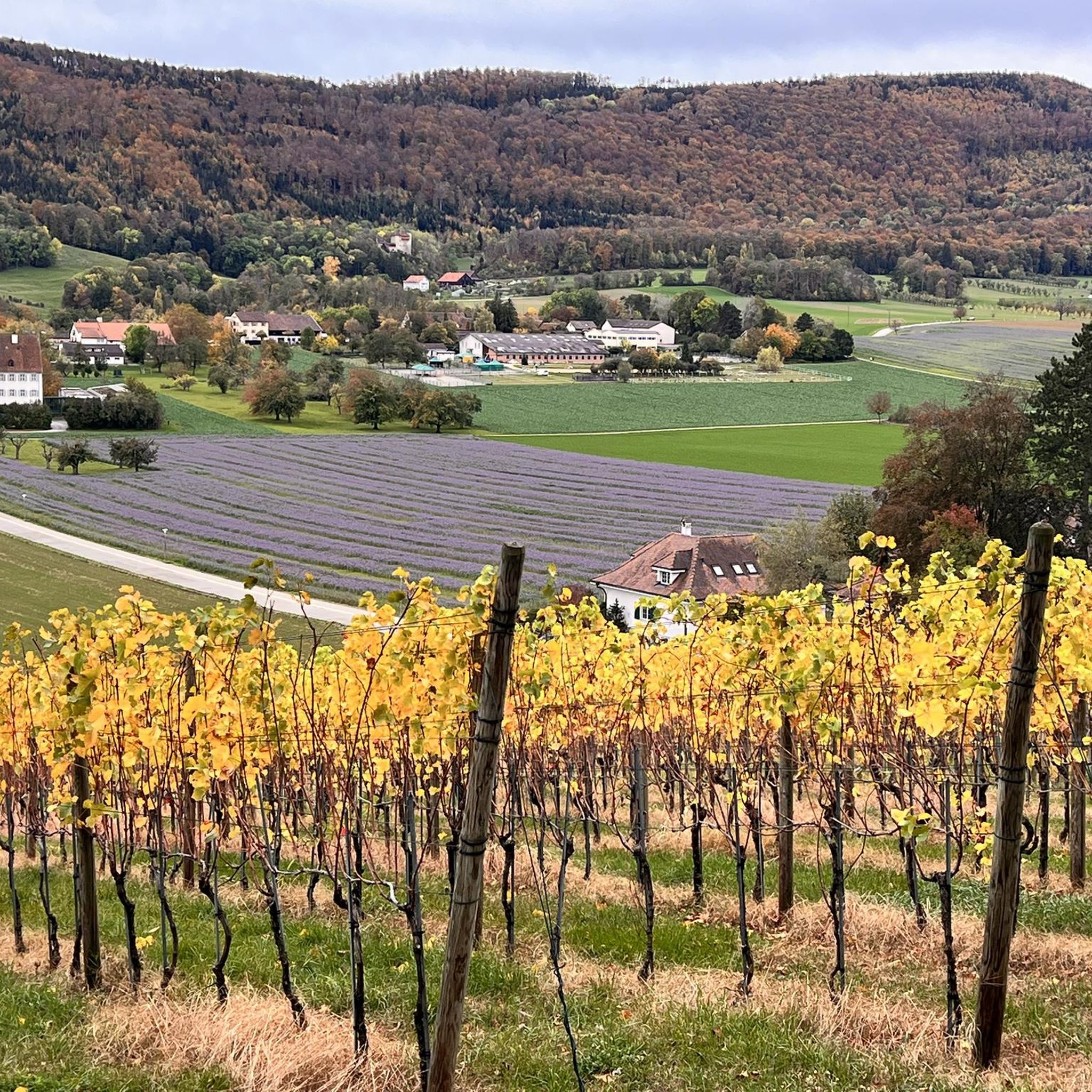
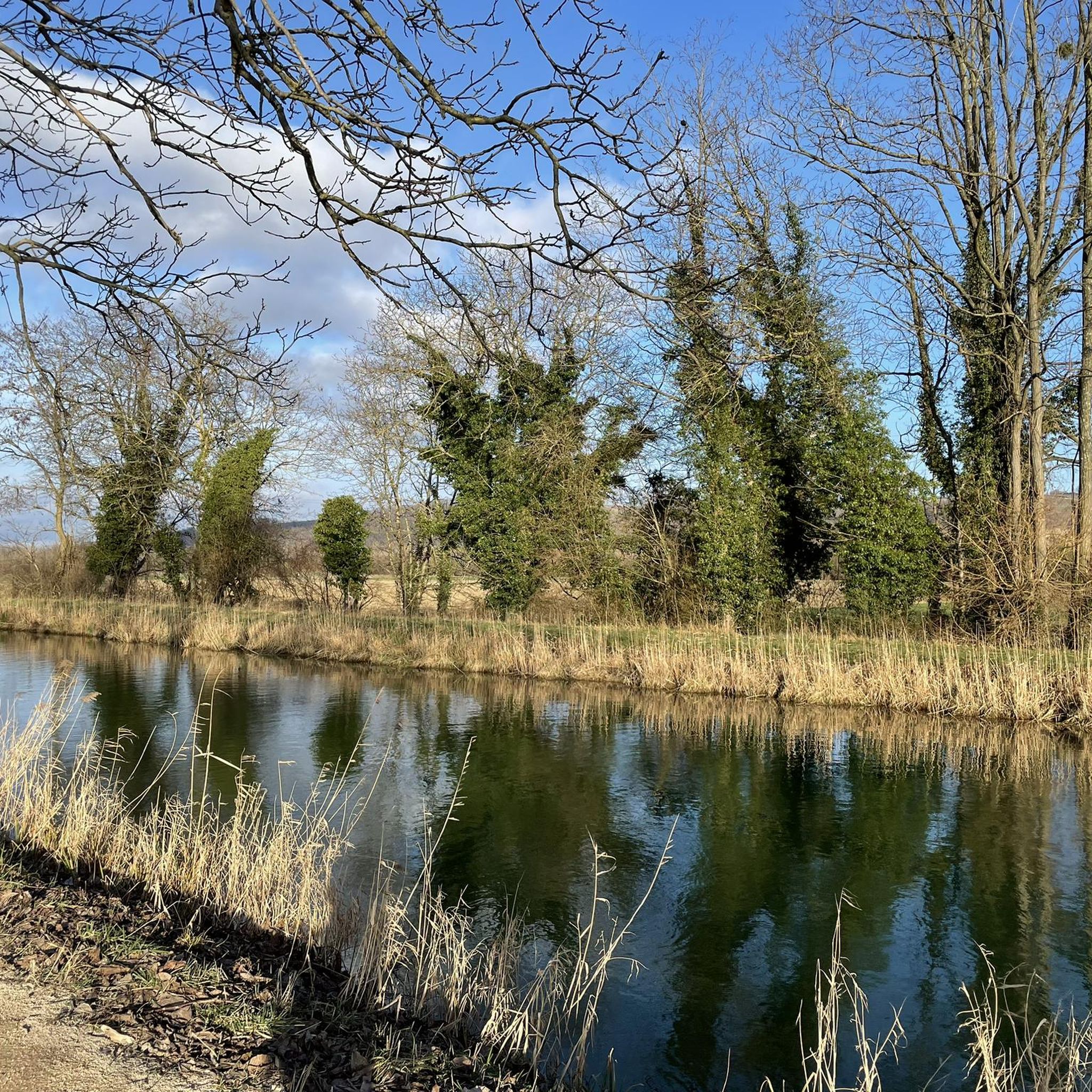


Tips from the Community

Quiet and very pretty trail up to the village of Heilhoff
0
0

Crossing the countryside on dirt roads...be careful it gets muddy after heavy rain!
0
0

Pretty chapel erected in homage to the Despite-We.
0
0

The paved bike path leads directly along the forest past a small chapel. Benches invite you to take a breather and there is a nice relaxed atmosphere. When driving fast, it's just a nice change from the otherwise beautiful nature.
0
0

Well maintained place of worship. Behind it is a beautiful forest with the possibility of a circular walk with a vita parcour...
0
1

Why the Valley of Tears? The area is however nice on a bike ;)
1
0

Mulhouse fortified sector. Schlierbach sub-sector. A sanitary breakage of surface, with two entrances, of four functional rooms.
0
0
Frequently Asked Questions
How many hiking trails are available around Niedermagstatt?
There are over 150 hiking trails around Niedermagstatt, offering a wide range of options for different preferences and fitness levels. The komoot community has explored these routes extensively, with more than 4000 hikers using komoot to discover the area.
What kind of terrain can I expect on hikes near Niedermagstatt?
Hikes around Niedermagstatt typically feature gentle rolling terrain, open fields, and pathways that connect small villages. The landscape is characterized by modest ascents and descents, making most routes accessible. You'll often find yourself exploring local pathways and historical points of interest within a rural setting.
Are there easy hiking trails suitable for beginners or families in Niedermagstatt?
Yes, Niedermagstatt offers a good selection of easy hiking trails. With 63 easy routes available, you can find pleasant strolls suitable for beginners or family outings. An example of an easy route is the Hiking loop from Mulhouse, which is 7.2 km long and takes about 2 hours to complete.
What do other hikers say about the trails in Niedermagstatt?
The trails around Niedermagstatt are highly rated by the komoot community, with an average score of 4.6 stars from over 850 reviews. Hikers often praise the well-maintained paths and the opportunity to explore the local countryside and charming villages.
Are there any circular hiking routes in the Niedermagstatt area?
Yes, many of the hiking routes around Niedermagstatt are circular, allowing you to start and end at the same point. For instance, the Hiking loop from Sierentz is a moderate 8.7 km trail that takes about 2 hours 19 minutes, offering a convenient loop through the local countryside.
What are some interesting landmarks or natural features to see on a hike near Niedermagstatt?
While hiking near Niedermagstatt, you can discover several interesting landmarks and natural features. Notable natural monuments include the Istein Rapids and the impressive Isteiner Klotz and the Cliff Chapel. For those interested in historical sites, the Motte Castrale de Willer is also nearby. You might also encounter viewpoints like the Mittlere Au Observatory.
Are there any moderate or challenging hikes for more experienced hikers?
Yes, Niedermagstatt offers a variety of moderate trails, with 84 routes falling into this category. For example, the Hiking loop from Bartenheim is a moderate 15.1 km path that features varied terrain and can be completed in approximately 4 hours 3 minutes. There are also 5 difficult routes for those seeking a greater challenge.
What is the best time of year to go hiking in Niedermagstatt?
Given the region's gentle elevations and open areas, hiking in Niedermagstatt is generally pleasant during spring, summer, and autumn. Spring brings blooming landscapes, while autumn offers beautiful foliage. Summer is ideal for longer days, but always check local weather conditions before heading out.
Are there any specific routes that connect historical sites?
Yes, some routes in the area are known for connecting historical sites. The Liberty Lime Tree (1792) – Old Tower of Dietwiller loop from Mulhouse is a moderate 9.8 km trail that specifically links historical sites with local paths, taking about 2 hours 39 minutes to complete.
Is parking readily available near the trailheads in Niedermagstatt?
While specific parking information for each trailhead isn't detailed, as a rural area connecting villages, it's common to find parking options in or near the starting points of trails, especially in the villages themselves. We recommend checking the tour details on komoot for specific parking suggestions for your chosen route.
Can I reach hiking trails in Niedermagstatt using public transport?
Niedermagstatt is a village, and while public transport options might be available to reach the general area, direct access to specific trailheads can vary. For detailed information on public transport connections to your desired starting point, it's best to consult local transport schedules or use a route planner that includes public transport options.
Most popular routes around Niedermagstatt
Most popular attractions around Niedermagstatt

Get inspired with the komoot mobile app


Explore more
Browse the best Hikes in other regions.
