The best mountain hikes around Myans
4.5
(8)
69
hikers
7
hikes
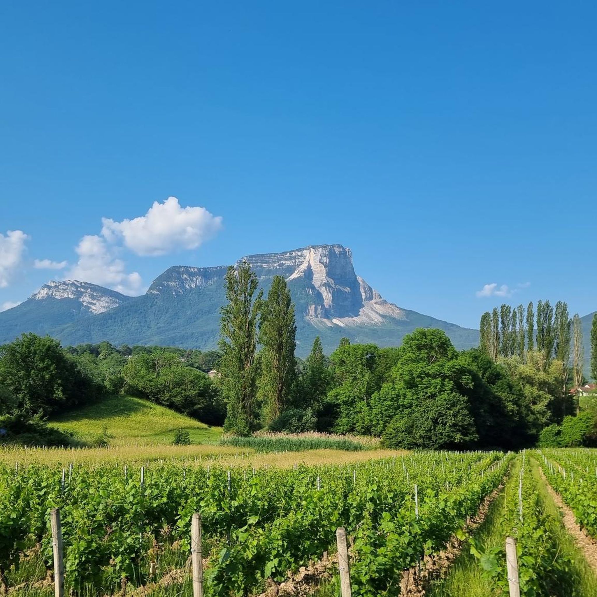
Mountaineering routes around Myans, located near Chambéry in the French Alps, traverse a landscape characterized by rugged limestone peaks, deep valleys, and extensive forests. The region offers challenging ascents and descents, often featuring technical sections and significant elevation gains. Mountaineers can expect varied terrain, from rocky paths to alpine meadows, providing diverse experiences within a compact area.
Best mountaineering routes around Myans
- The most popular mountaineering route is Via ferrata La Grotte à Carret – Via ferrata ptchi loop from…
Last updated: July 1, 2026
17
hikers
Hard mountaineering route. Good fitness required. Sure-footedness, sturdy shoes and alpine experience required.
3.0
(1)
6
hikers
12.0km
05:31
1,070m
1,070m
Hard mountaineering route. Very good fitness required. Mostly accessible paths. Sure-footedness required.

Sign up for free
4
hikers
8.71km
04:56
880m
880m
Hard mountaineering route. Good fitness required. Sure-footedness, sturdy shoes and alpine experience required.
4
hikers
7.29km
02:58
410m
410m
Hard mountaineering route. Good fitness required. Sure-footedness, sturdy shoes and alpine experience required.
5.0
(1)
4
hikers
8.27km
03:03
330m
330m
Hard mountaineering route. Good fitness required. Sure-footedness, sturdy shoes and alpine experience required.
Get access to more routes and recommendations from other explorers.
Sign up for free
Already have an account?
Our route recommendations are based on thousands of hikes, rides, and runs completed by other people on komoot.
Start today with a free account
Your next adventure awaits.
Login or Signup
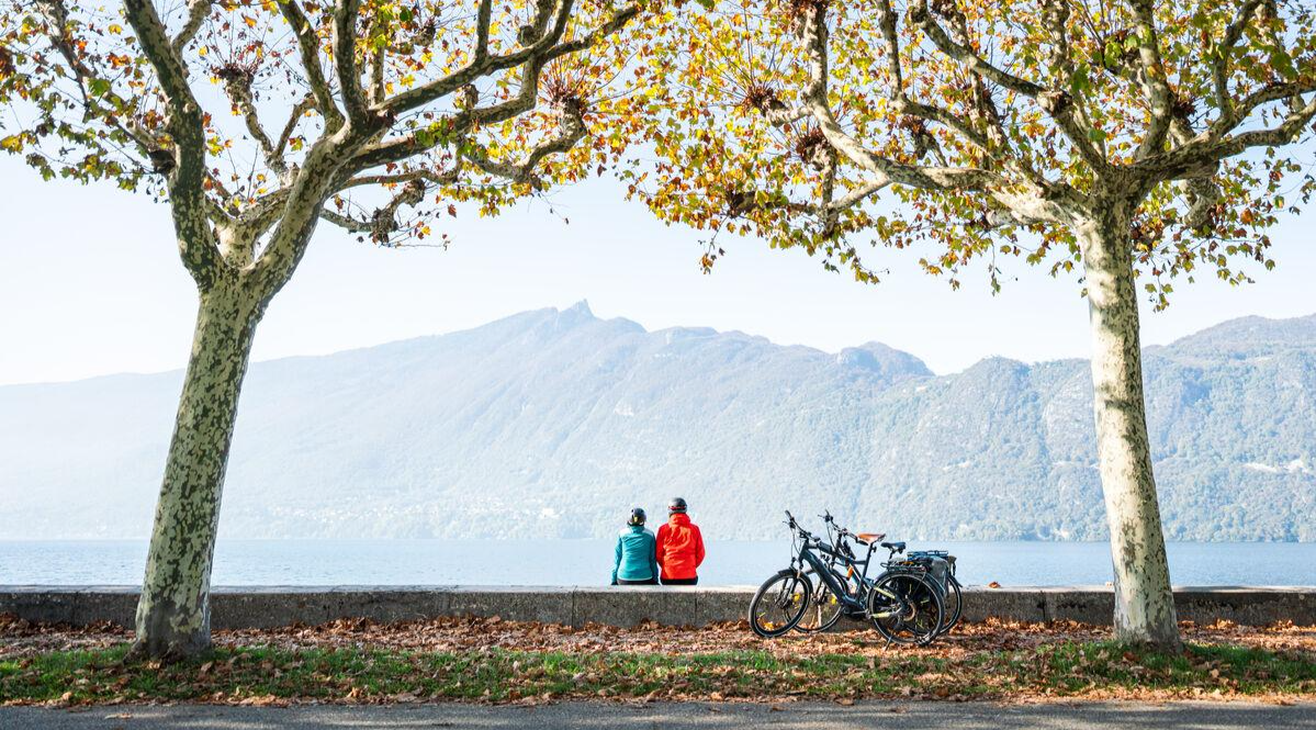
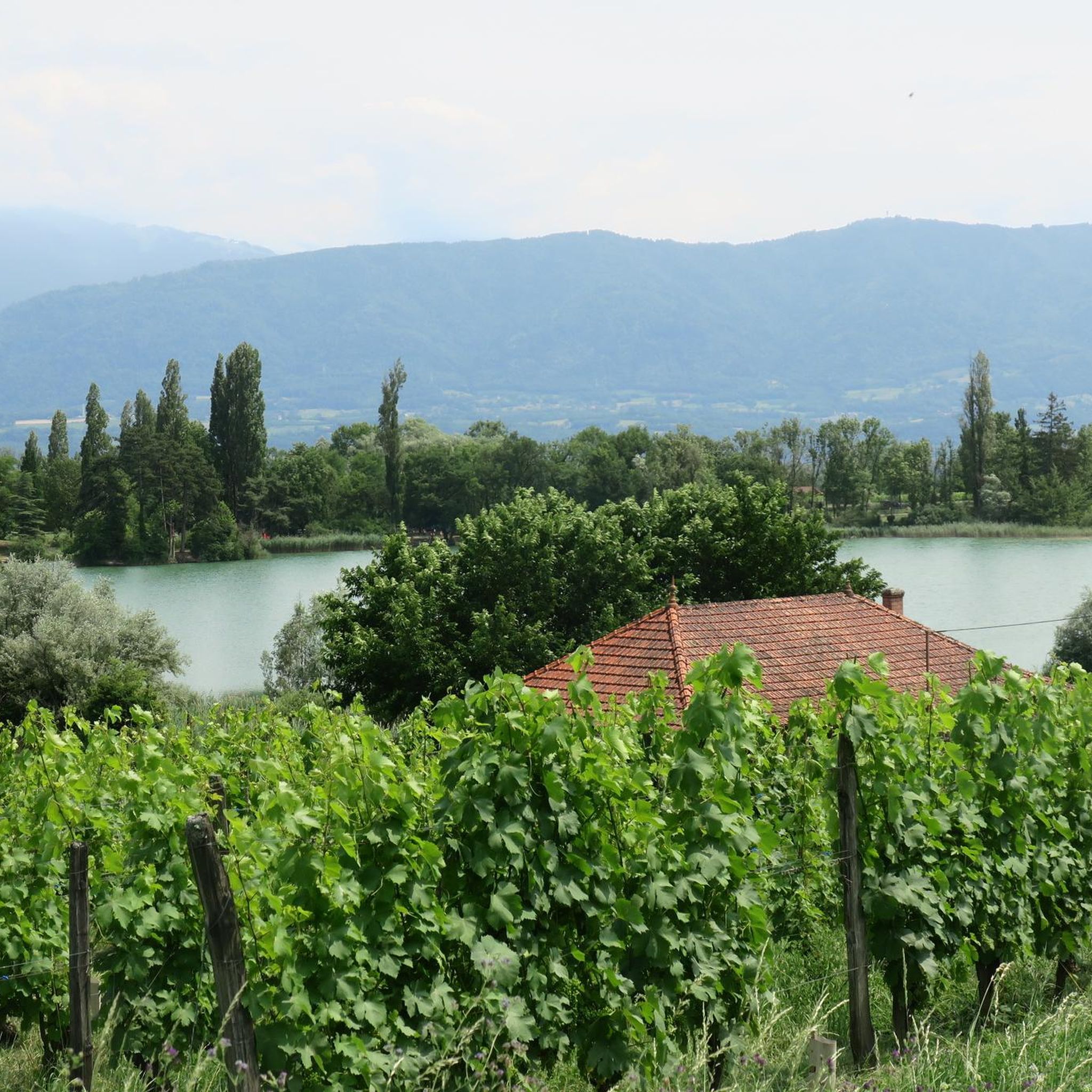
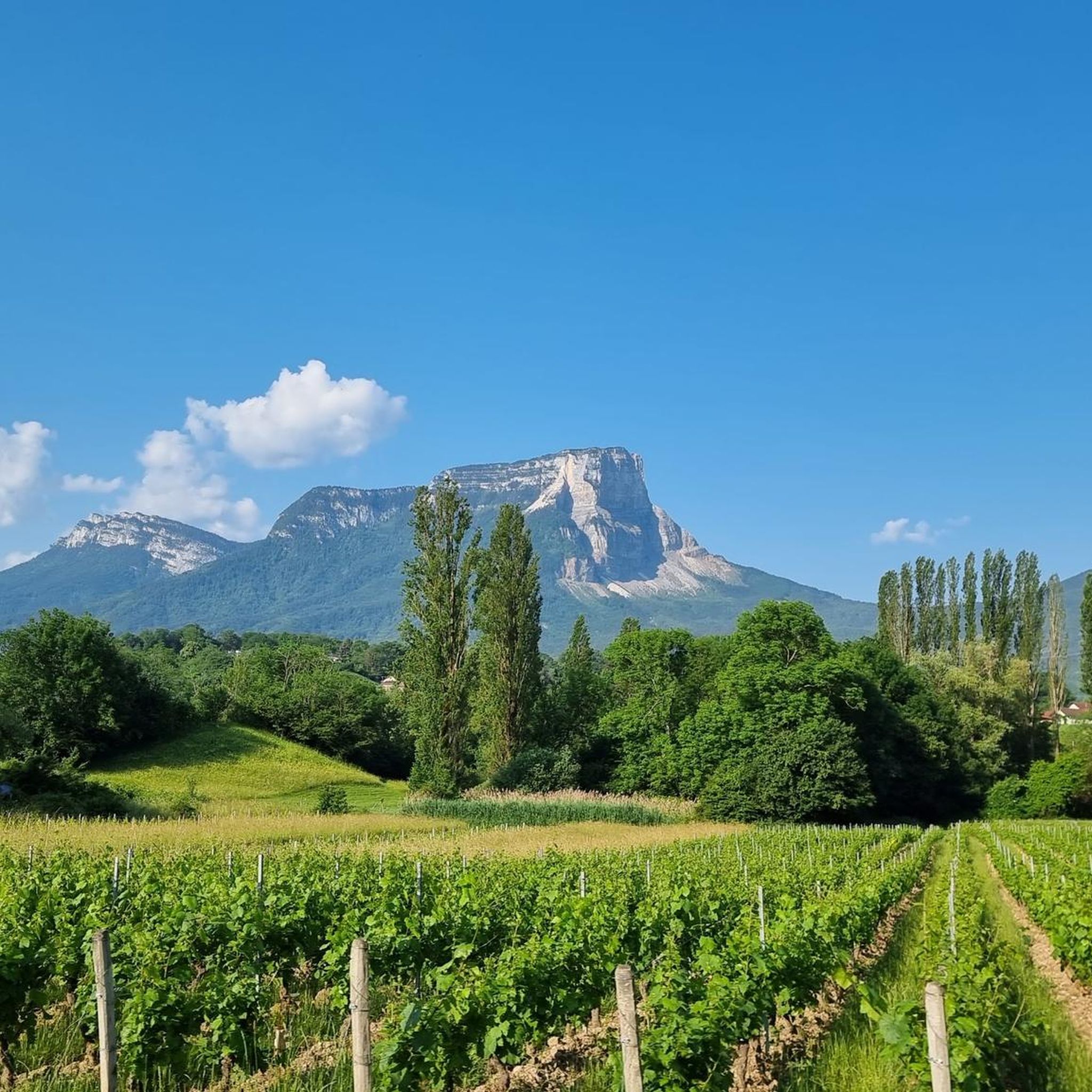
Other adventures around Myans

Tips from the Community

Proper climb from Chambery, beautiful views of the Chartreuse.
0
0

Magnificent view of Chambéry and Lake Bourget A lovely picnic area
0
0

Don't forget that even if it's in the mid-mountains, you need to be equipped for the weather, good shoes, and good physical condition.
0
0

Warning: The climb from the east side is extremely steep! An average gradient of around 10% over 9-10 km.
2
0

The via ferrata of the Carret cave is rated extremely difficult (ED), it is worth the detour for its views, its apparatus and its overhangs. But beware, beginners should refrain!
0
0

Very good and quite accessible as a pass. Be careful of overtaking cars.
1
2

From Saint Pierre you pass through Entrement le veux and arrive at the top of Col de Granier, if you take the first right towards Col de Marcieu until Saint Hillaire de Touvet and descend into the valley to Grenoble, very calm, rolling and bucolic
0
0

Wonderful panorama of the Bauges, the Chambéry valley and all the massifs of the Northern Alps.
0
0
Frequently Asked Questions
What kind of terrain can I expect on mountaineering routes around Myans?
Mountaineering routes around Myans, located in the French Alps, feature rugged limestone peaks, deep valleys, and extensive forests. You'll encounter varied terrain, from rocky paths and technical sections to alpine meadows, often with significant elevation gains and challenging ascents and descents.
Are there any easier mountaineering routes for beginners in Myans?
While many routes in Myans are challenging, there is at least one moderate option available. For example, the Pointe de la Galoppaz loop from Puygros is rated as moderate, covering 8.3 km (5.1 miles) with an elevation gain of around 850 meters.
What are some of the more challenging mountaineering routes in the Myans area?
Myans offers several difficult mountaineering routes. The Via ferrata La Grotte à Carret – Via ferrata ptchi loop from Grande Cascade de la Doria is a challenging 6.4 km (4.0 miles) route featuring a via ferrata section. Another demanding option is the Via ferrata ptchi – Croix du Nivolet loop from Grande Cascade de la Doria, which is 9.9 km (6.2 miles) and includes a via ferrata leading to expansive vistas.
Are there any circular mountaineering routes around Myans?
Yes, several mountaineering routes in Myans are loops. Examples include the Pointe de la Galoppaz – Col de la Buffaz loop from Puygros, the Croix du Nivolet loop from Grande Cascade de la Doria, and the Pointe de la Galoppaz loop from Puygros.
What natural features or viewpoints can I discover along the routes?
The routes often lead to stunning viewpoints and natural features. You can explore areas like the Waterfalls on the Nant du Pontet, the Camelot Gorge, or the Carret Cave. Many routes also pass through significant mountain passes like the Granier Pass or offer views from peaks like Pointe de la Galoppaz and Croix du Nivolet.
How long do mountaineering routes in Myans typically take to complete?
The duration of mountaineering routes in Myans varies depending on their length and difficulty. For instance, the Via ferrata La Grotte à Carret – Via ferrata ptchi loop from Grande Cascade de la Doria typically takes around 3 hours 35 minutes, while the longer Pointe de la Galoppaz – Col de la Buffaz loop from Puygros can take about 5 hours 31 minutes.
What do other mountaineers say about the routes in Myans?
The mountaineering routes in Myans are highly rated by the komoot community, with an average score of 4.5 stars from 8 reviews. Mountaineers often praise the varied terrain, the challenging nature of the ascents, and the scenic views, especially around features like the Grande Cascade de la Doria and Croix du Nivolet.
Are there any gorges or canyons to explore near Myans?
Yes, the Myans region is home to several impressive gorges and canyons. You can visit the Camelot Gorge, explore the Carret Cave, or experience the Gorges de Ternèze, which offer unique natural beauty and often feature waterfalls like those on the Nant du Pontet.
How many mountaineering routes are available around Myans?
There are 8 mountaineering routes available around Myans, ranging from moderate to difficult, offering diverse experiences within the French Alps.
What is the best time of year for mountaineering in Myans?
The guide data does not specify the best time of year. However, given its location in the French Alps, late spring to early autumn (May to October) generally offers the most favorable conditions for mountaineering, with less snow and more stable weather. Winter mountaineering would require specialized equipment and expertise due to snow and ice.
Are there any permits required for climbing or mountaineering in the Myans region?
The provided guide data does not mention specific permit requirements for mountaineering in the Myans region. It's always advisable to check with local authorities or mountain guides for the latest information on any necessary permits or regulations before embarking on a climb.
Most popular attractions around Myans

Get inspired with the komoot mobile app


Explore more
Browse the best Mountain Hikes & Routes in other regions.
