The best walks and hikes around Saint-Jean-De-La-Porte
4.5
(900)
10,833
hikers
273
hikes
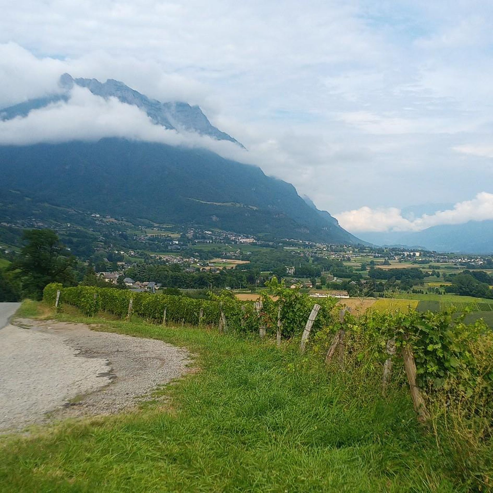
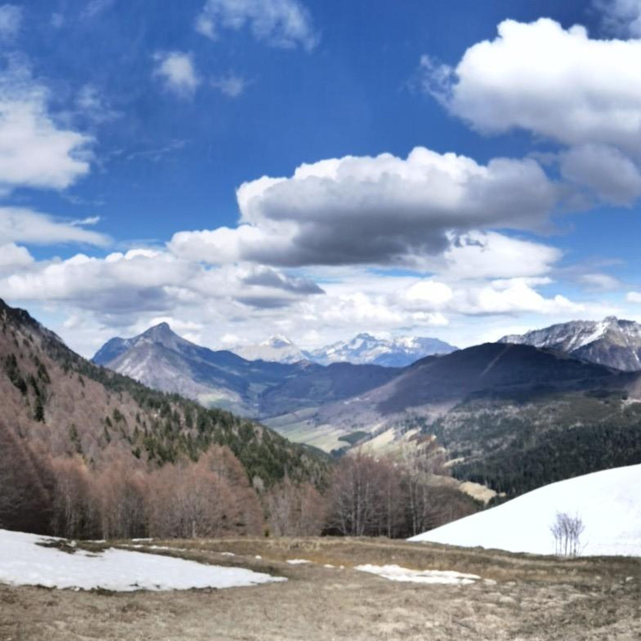
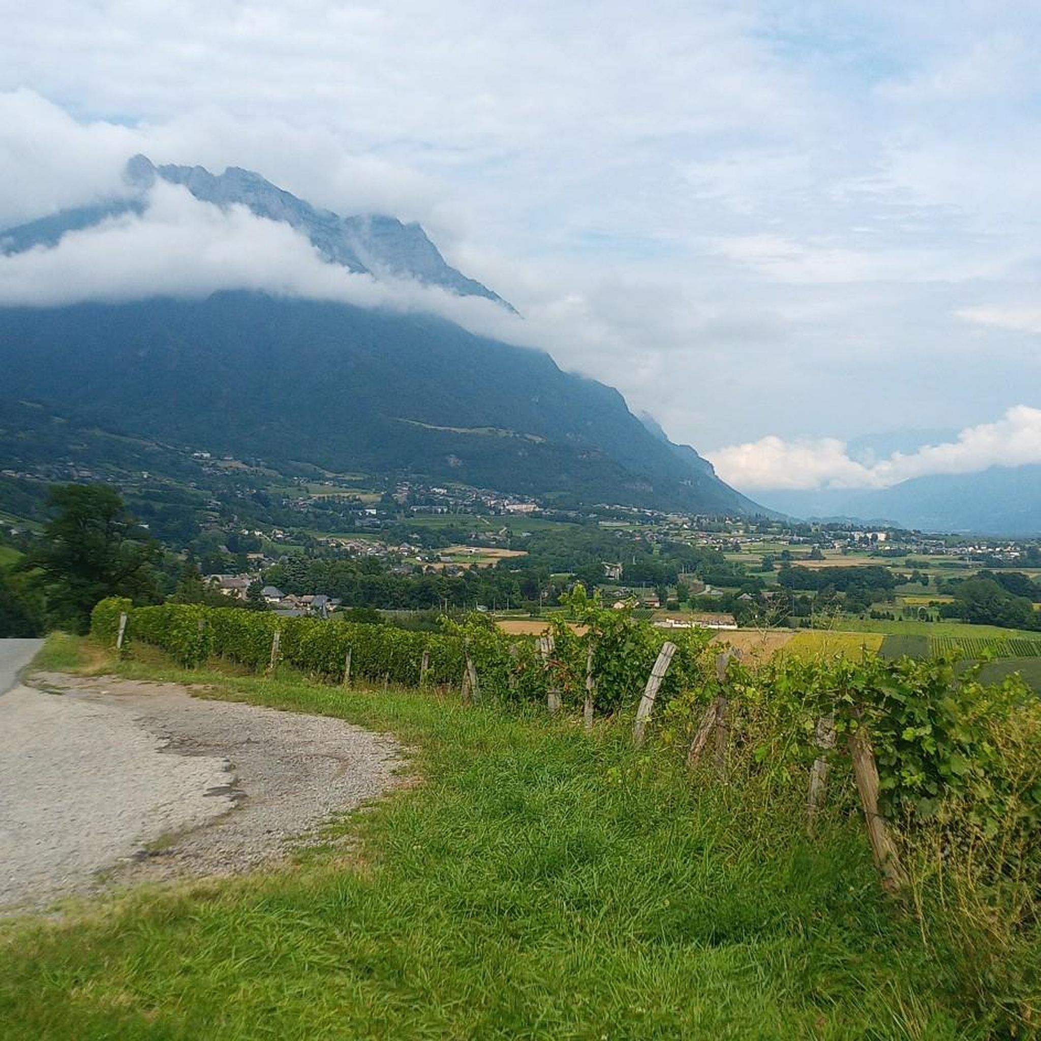
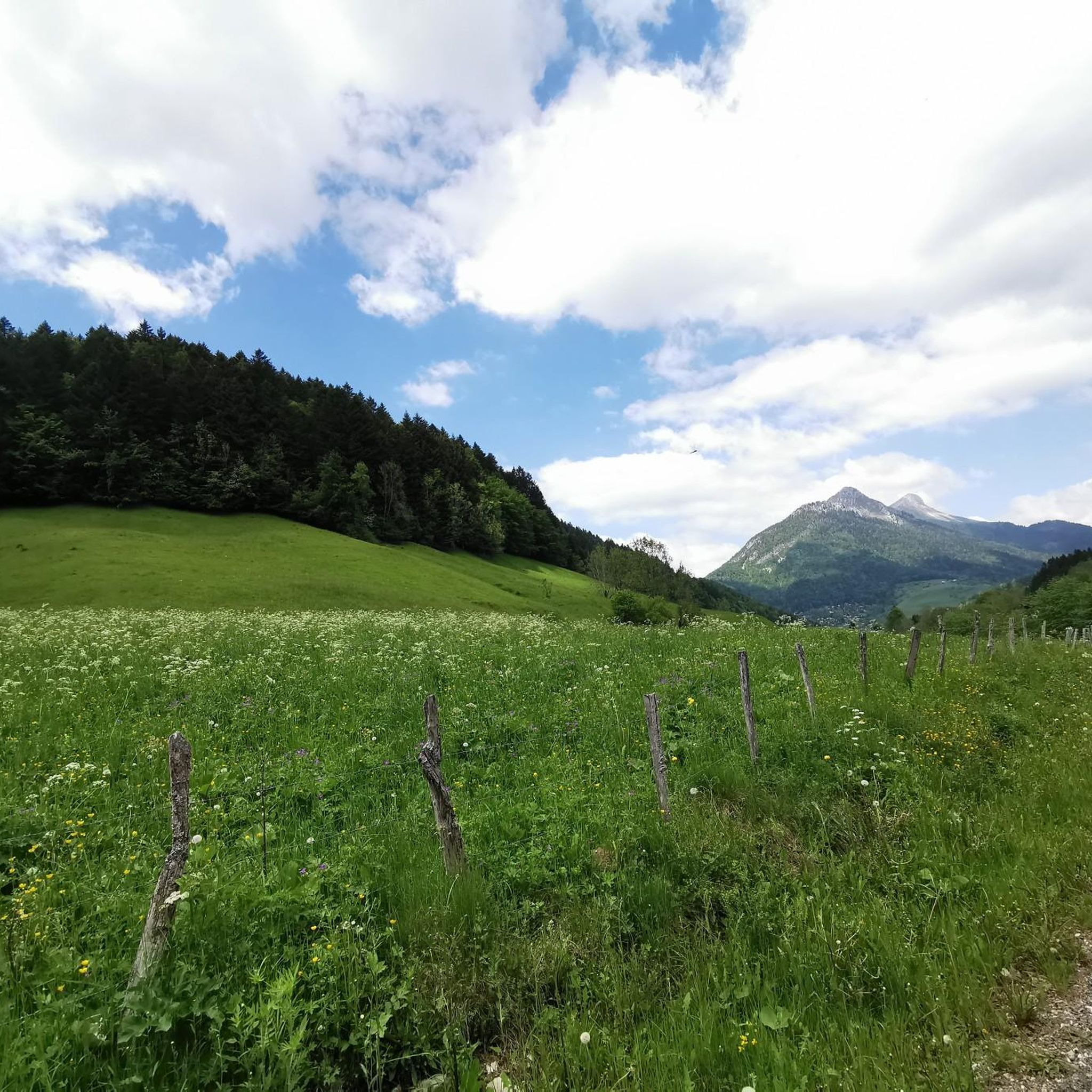
Hiking around Saint-Jean-De-La-Porte offers a diverse landscape for outdoor enthusiasts, characterized by mountain peaks, passes, and natural monuments within the Massif des Bauges. The region features varied terrain, from challenging ascents to more accessible paths, providing a scenic backdrop for activities. Notable features include the Dent d'Arclusaz and Mont Morbié, which offer panoramic views. The area's topography includes significant elevation changes, making it suitable for a range of hiking experiences.
Best hiking trails around Saint-Jean-De-La-Porte
- The most popular hiking route is Dent d'Arclusaz Trail, a 8.6 miles (13.9 km) trail that takes 6 hours 50 minutes to complete. This difficult route features significant elevation gain and technical terrain.
- Another top favourite among local hikers is Frêne Pass (950 m) – Col du Potat loop from Col du Frêne, a moderate 4.6 miles (7.4 km) path. This loop offers views over the Bauges peaks and passes.
- Local hikers also love the Buffaz Pass – La Galoppaz Peak loop from Bort, a 6.4 miles (10.3 km) trail leading through mountain passes and towards a peak, often completed in about 4 hours 9 minutes.
- Hiking around Saint-Jean-De-La-Porte is defined by mountain peaks like Dent d'Arclusaz, scenic passes such as Col du Frêne, and diverse forest paths. The network of routes offers options for various ability levels, from moderate loops to challenging mountain ascents.
- The routes in Saint-Jean-De-La-Porte are highly rated by the komoot community with an average score of 4.4 stars from over 900 reviews. More than 10,000 hikers have used komoot to explore Saint-Jean-De-La-Porte's varied terrain.
Last updated: July 1, 2026
4.7
(11)
227
hikers
13.9km
06:50
1,030m
1,030m
Hike the challenging Dent d'Arclusaz in Massif des Bauges for technical terrain, fixed cables, and 360-degree panoramic views.
4.7
(10)
95
hikers
7.38km
03:14
410m
410m
Moderate hike. Good fitness required. Mostly accessible paths. Sure-footedness required.

Sign up for free
3.0
(1)
40
hikers
10.4km
04:10
670m
670m
Moderate hike. Good fitness required. Mostly accessible paths. Sure-footedness required.
3.5
(2)
24
hikers
7.93km
03:09
560m
560m
Moderate hike. Good fitness required. Mostly accessible paths. Sure-footedness required.
5.0
(1)
9
hikers
8.01km
02:37
380m
380m
Moderate hike. Good fitness required. Mostly accessible paths. Sure-footedness required.
Get access to more routes and recommendations from other explorers.
Sign up for free
Already have an account?
Our route recommendations are based on thousands of hikes, rides, and runs completed by other people on komoot.
Start today with a free account
Your next adventure awaits.
Login or Signup


Tips from the Community

Quiet little road to begin the ascent of the Col du Frêne. Very beautiful view.
0
0

Beautiful pass. The climb is a bit gentler from the north. The descent to the south offers beautiful views of the Isère Valley.
0
0

gravel junction between the Marocaz pass and Aillon le jeune; a hundred meters of pushing on a steep slope
0
0

Wonderful panorama of the Bauges, the Chambéry valley and all the massifs of the Northern Alps.
0
0

A little corner of Paradise with a panoramic view of the Aillons le Jeune resort and the Chartreuse d'Aillons
0
0


Col du Frêne from Saint Pierre d'Albigny is a climb in the Annecy region. It is 7.7 kilometres long and has a vertical ascent of 554 metres with an average gradient of 7.2%, implying a difficulty level of 483. The summit of the climb is located at 960 metres
0
0
Frequently Asked Questions
How many hiking trails are available around Saint-Jean-De-La-Porte?
There are over 270 hiking routes around Saint-Jean-De-La-Porte, catering to various skill levels. This includes approximately 55 easy routes, 150 moderate routes, and 67 difficult trails for experienced hikers.
What are some good options for easy or beginner-friendly hikes?
For beginners or those seeking an easier walk, Saint-Jean-De-La-Porte offers around 55 easy routes. While specific easy routes are not detailed here, these trails generally feature less elevation gain and shorter distances, providing a gentle introduction to the region's scenery.
Are there any circular hiking routes in the area?
Yes, many trails around Saint-Jean-De-La-Porte are circular. For example, the Frêne Pass (950 m) – Col du Potat loop from Col du Frêne is a moderate 7.4 km loop offering views over the Bauges peaks. Another option is the Hiking loop from Saint-Jean-de-la-Porte, which is 8 km long and also moderate.
What kind of natural features or landmarks can I expect to see on the trails?
The region is rich in natural features. You can encounter mountain passes like Col du Frêne (950 m) and Marocaz Pass, as well as summits such as Mont Colombier. There's also a unique Trail of sinkholes and ice caves, and scenic viewpoints like Watch Rock. The Lac de Sainte Hélène is another beautiful spot to discover.
What is the best time of year to go hiking in Saint-Jean-De-La-Porte?
The best time for hiking generally depends on the specific trail and your experience level. While many trails are accessible in spring, summer, and autumn, some higher-altitude routes, especially those in the Massif des Bauges like the Dent d'Arclusaz, may involve snow and require alpine experience or specific gear during colder months. Always check local conditions before heading out.
Are there any challenging hikes for experienced trekkers?
Yes, Saint-Jean-De-La-Porte offers about 67 difficult routes. A notable challenging trail is the Dent d'Arclusaz Trail, which is 13.9 km long with significant elevation gain, taking nearly 7 hours to complete. This route features technical terrain and offers panoramic 360-degree views from the summit.
What do other hikers say about the trails in Saint-Jean-De-La-Porte?
The trails in Saint-Jean-De-La-Porte are highly rated by the komoot community, with an average score of 4.4 stars from over 900 reviews. Hikers often praise the diverse terrain, from challenging mountain ascents to scenic forest paths, and the stunning views over the Bauges peaks.
Are the trails suitable for families with children?
While the region offers a range of difficulties, including over 50 easy routes, suitability for families depends on the specific trail's length, elevation, and terrain. Look for shorter, less steep paths, especially those designated as 'easy' in komoot, which are generally more suitable for children. Always check the route details before setting out with family.
Is public transport available to access hiking trailheads?
Information on specific public transport links directly to trailheads is not detailed here. However, Saint-Jean-De-La-Porte is a regional hub, and local bus services might connect to nearby villages or points of interest from which trails can be accessed. It's advisable to check local transport schedules for the most up-to-date information.
Where can I find parking for hiking trails?
Parking availability varies by trailhead. Many popular starting points for hikes, especially those leading to well-known passes or peaks, typically have designated parking areas. For specific routes, it's recommended to check the route description on komoot, as users often share information about parking facilities near the starting points.
Are there any trails that offer views of Mont Morbié?
Yes, from Mont Morbié itself, hikers can enjoy beautiful viewpoints over the peaks of the Bauges. While a specific route from Saint-Jean-De-La-Porte directly to Mont Morbié isn't highlighted here, trails from nearby Aillon le Jeune lead to Monts Pelat and Morbié, featuring ascents through snowshoe routes and descents along ridges and forests.
Can I hike with my dog on the trails around Saint-Jean-De-La-Porte?
Generally, dogs are permitted on many hiking trails in the region, especially on public footpaths. However, it's crucial to keep them on a leash, particularly in areas with livestock or protected wildlife. Always check for specific signage or local regulations, especially within natural parks or reserves, as rules can vary.
Most popular routes around Saint-Jean-De-La-Porte
Most popular attractions around Saint-Jean-De-La-Porte

Get inspired with the komoot mobile app


Explore more
Browse the best Hikes in other regions.
