The best walks and hikes around Puy-Saint-Gulmier
4.6
(25)
114
hikers
23
hikes
Hiking around Puy-Saint-Gulmier offers diverse landscapes shaped by its volcanic origins. The region features a basalt plateau, providing panoramic views of the Sancy Massif and the Chaîne des Puys. Trails traverse a mix of bocages, woods, ponds, meadows, and forests, creating varied scenery. This area in the Puy-de-Dôme department is known for its tranquil, unspoiled beauty and natural features.
Best hiking trails around Puy-Saint-Gulmier
- The most popular hiking route is Giant basswood. loop from Pontaumur, a 5.0 miles (8.1…
Last updated: May 22, 2026
4.8
(6)
46
hikers
8.10km
02:18
180m
180m
Moderate hike. Good fitness required. Easily-accessible paths. Suitable for all skill levels.
4.0
(3)
12
hikers
11.8km
03:17
230m
230m
Moderate hike. Good fitness required. Easily-accessible paths. Suitable for all skill levels.

Sign up for free
5.0
(1)
12
hikers
7.53km
02:05
130m
130m
Moderate hike. Good fitness required. Easily-accessible paths. Suitable for all skill levels.
4.0
(3)
11
hikers
28.3km
08:05
640m
640m
Hard hike. Very good fitness required. Easily-accessible paths. Suitable for all skill levels.
4.5
(2)
6
hikers
6.02km
01:37
70m
70m
Easy hike. Great for any fitness level. Easily-accessible paths. Suitable for all skill levels.
Get access to more routes and recommendations from other explorers.
Sign up for free
Already have an account?
Our route recommendations are based on thousands of hikes, rides, and runs completed by other people on komoot.
Start today with a free account
Your next adventure awaits.
Login or Signup
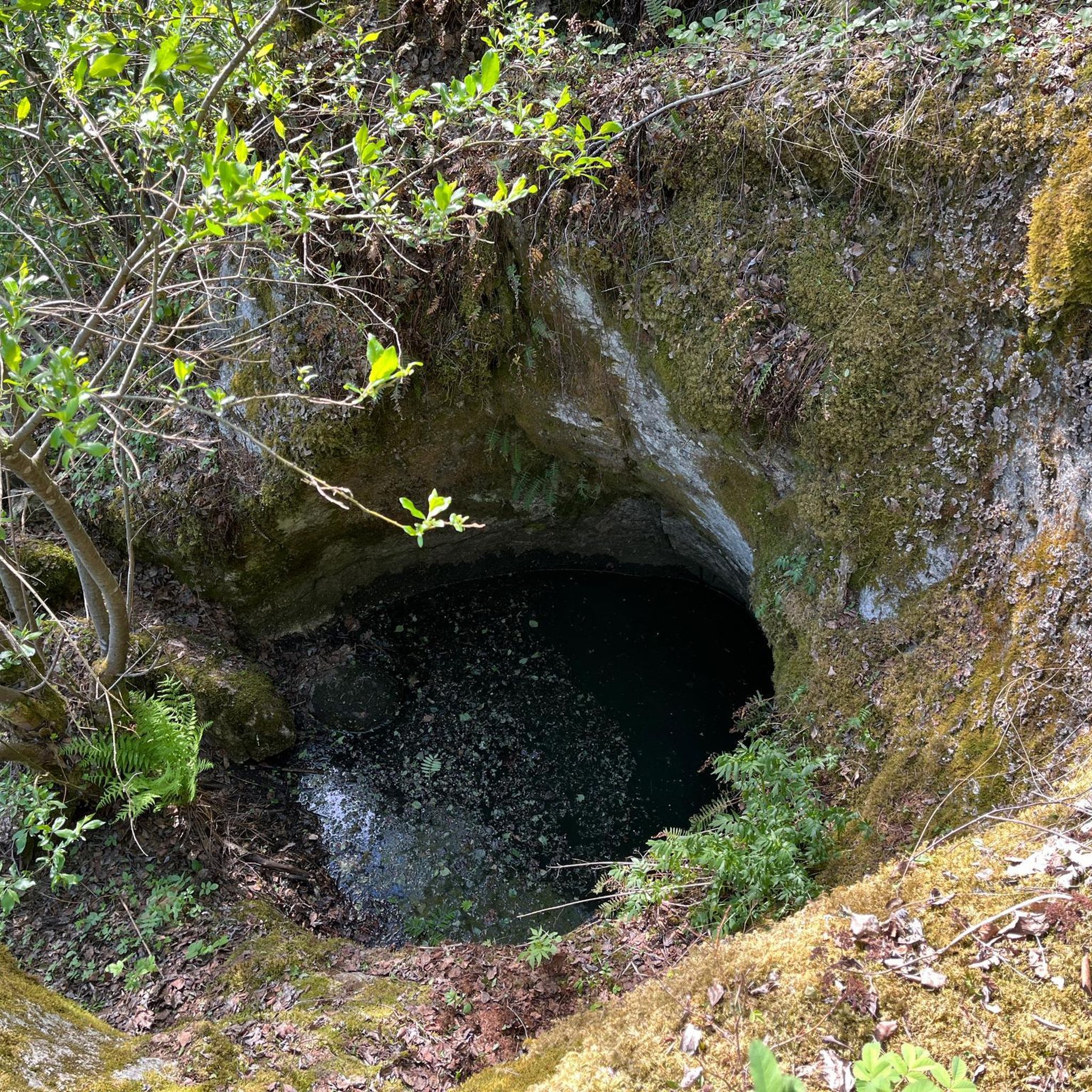

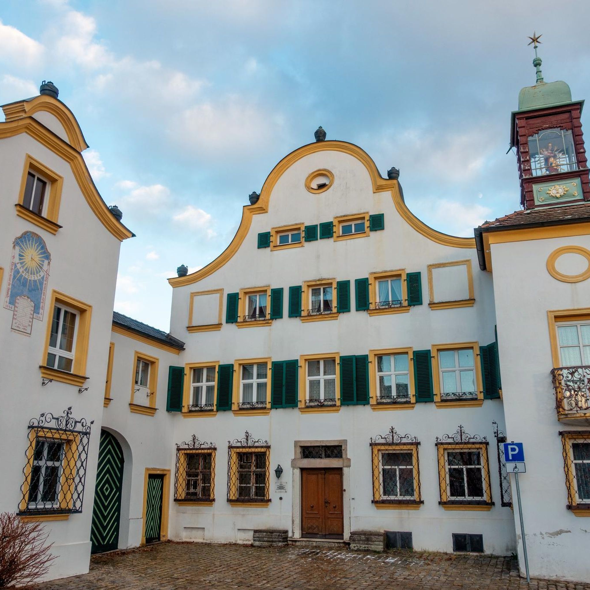
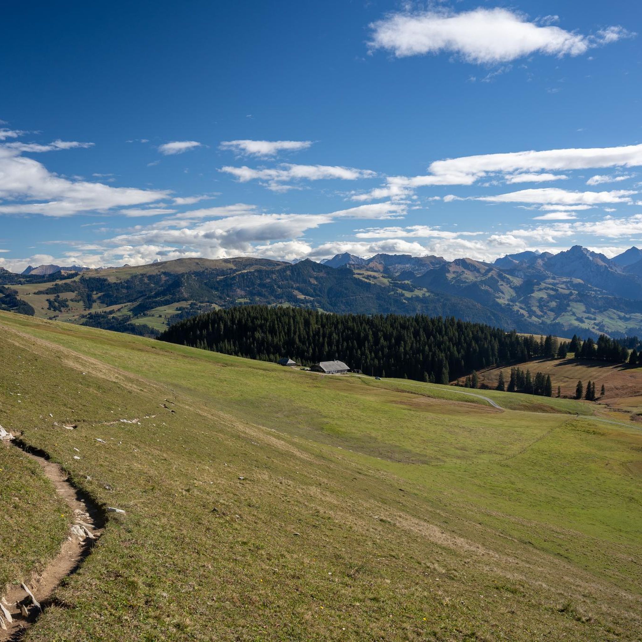
Tips from the Community

Due to the rainy work, a photo was missed. Apologies for that.
0
0

Nice pedestrian bridge over the Sioulet (tributary of the Sioule)
0
0
Very close to Pontaumur, the Sioulet gorges are an ideal wild place for nature lovers.
0
0
The ford on this stream can be bypassed via the bridge located just next to it.
0
0
Frequently Asked Questions
How many hiking trails are available around Puy-Saint-Gulmier?
There are over 15 hiking routes around Puy-Saint-Gulmier, offering a variety of experiences for different skill levels. These trails are highly rated by the komoot community, with an average score of 4.6 stars.
What kind of terrain can I expect on hikes in Puy-Saint-Gulmier?
The region's volcanic origins mean you'll encounter diverse landscapes, including basalt plateaus, bocages (hedged farmlands), dense woodlands, meadows, and tranquil ponds. Trails often provide panoramic views of the Sancy Massif and the Chaîne des Puys.
Are there easy hiking trails suitable for beginners or casual walkers?
Yes, Puy-Saint-Gulmier offers several easy routes. For instance, the Hiking loop from Condat-en-Combraille is a 7.1 km trail through bocages and woods, and the Tyx Pond loop from La Vacherie is an easily accessible 6 km path, perfect for a relaxed stroll.
Are there any circular hiking routes in the area?
Many of the trails around Puy-Saint-Gulmier are designed as loops. Popular circular options include the Giant basswood. loop from Pontaumur, a moderate 8.1 km route, and the longer La Rodde loop from La Rodde, which covers 11.8 km through varied terrain.
What are the best spots for panoramic views in Puy-Saint-Gulmier?
The Butte du Puy Saint-Gulmier itself is a basalt plateau that offers privileged panoramic views of the Sancy Massif and the Chaîne des Puys. Hiking trails around the Butte often provide excellent vantage points to appreciate the region's volcanic landscapes and unspoiled beauty. You can find more information about the Butte du Puy Saint-Gulmier on the local tourism website: combrailles-auvergne-tourisme.fr.
Are the hiking trails in Puy-Saint-Gulmier suitable for families with children?
Yes, the region has several trails suitable for families. The easier paths, such as the Tyx Pond loop from La Vacherie, are relatively flat and offer pleasant scenery, making them ideal for walks with children. The varied landscapes of meadows, forests, and ponds provide engaging environments for younger hikers.
Can I bring my dog on the hiking trails?
Generally, dogs are welcome on most hiking trails in the Puy-Saint-Gulmier area, especially in rural and forested sections. However, it's always recommended to keep them on a leash, particularly when passing through farmlands or nature reserves, to protect local wildlife and livestock.
What are some longer or more challenging hiking options?
For those seeking a longer excursion, the La Rodde loop from La Rodde is a moderate 11.8 km path. Another moderate option is the Saint-Martial Church loop from Combrailles, which is 9 km long and offers varied terrain.
What natural features or landmarks can I explore near Puy-Saint-Gulmier?
Beyond the Butte du Puy Saint-Gulmier, the region is part of the Puy-de-Dôme department, known for its volcanic landscapes. Nearby natural sites include Banne d'Ordanche (23km away), Lac du Guery (25km away), the prominent Puy de Sancy (33km away), and the picturesque Lac Pavin (39km away), all offering diverse terrain and scenic beauty.
When is the best time of year to go hiking in Puy-Saint-Gulmier?
The spring, summer, and autumn months generally offer the most pleasant conditions for hiking in Puy-Saint-Gulmier. Spring brings blooming wildflowers, summer provides warm weather for exploring, and autumn showcases beautiful foliage. While winter walks are possible, some trails might be less accessible due to snow or ice, especially at higher elevations.
Are there any trails that feature water bodies like ponds or lakes?
Yes, the region's landscapes include several bodies of water. The Tyx Pond loop from La Vacherie specifically highlights a pond, offering a serene environment. Many trails around the Butte du Puy Saint-Gulmier also traverse areas with ponds, adding to the varied scenery.
What do other hikers enjoy most about the trails in Puy-Saint-Gulmier?
The komoot community highly rates the trails in Puy-Saint-Gulmier, with an average score of 4.6 stars from over 20 reviews. Hikers often praise the tranquil, unspoiled beauty of the volcanic landscapes, the varied terrain including bocages and woodlands, and the panoramic views of the surrounding massifs.

Get inspired with the komoot mobile app


Explore more
Browse the best Hikes in other regions.
