The best walks and hikes around La Brée-Les-Bains
4.4
(352)
2,326
hikers
15
hikes
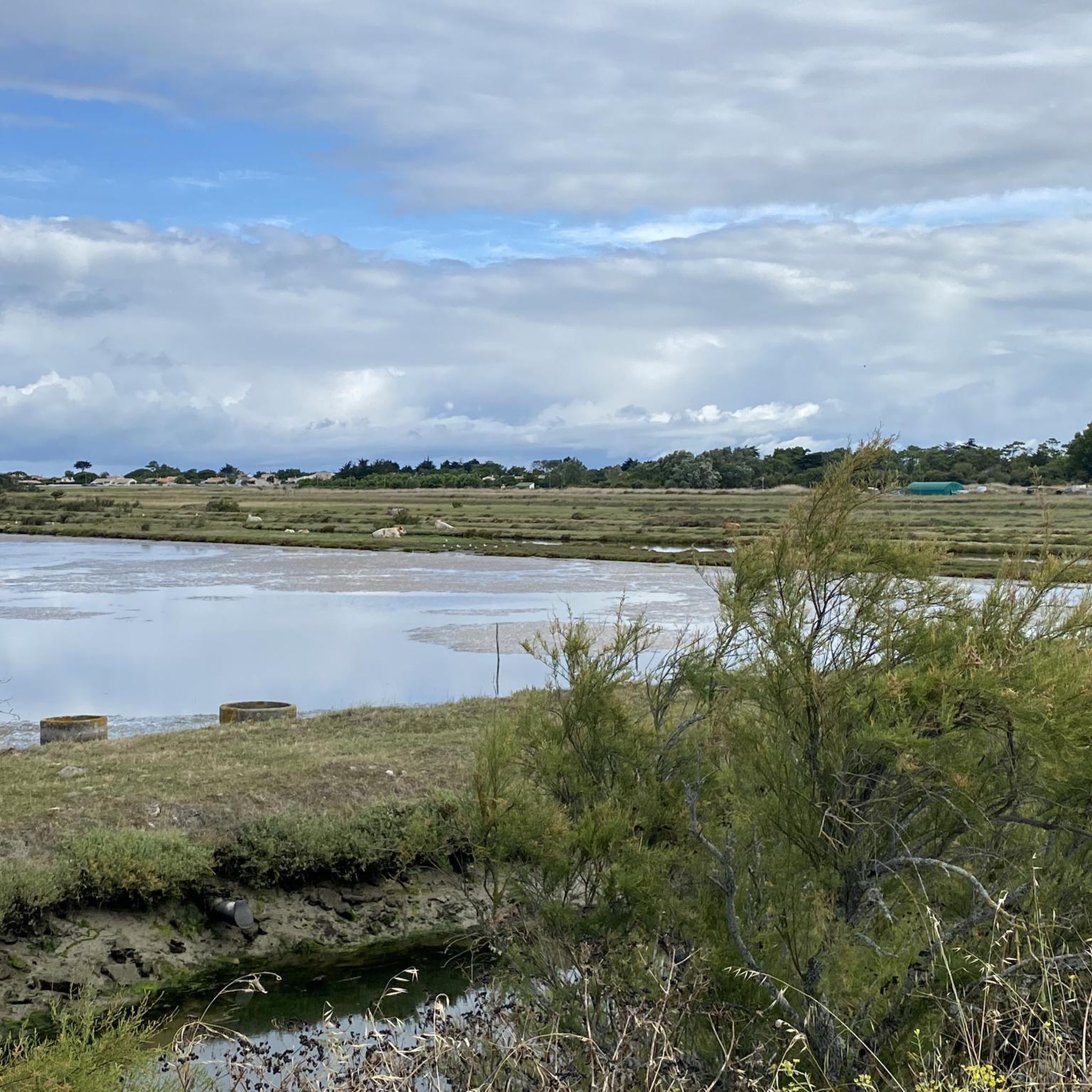
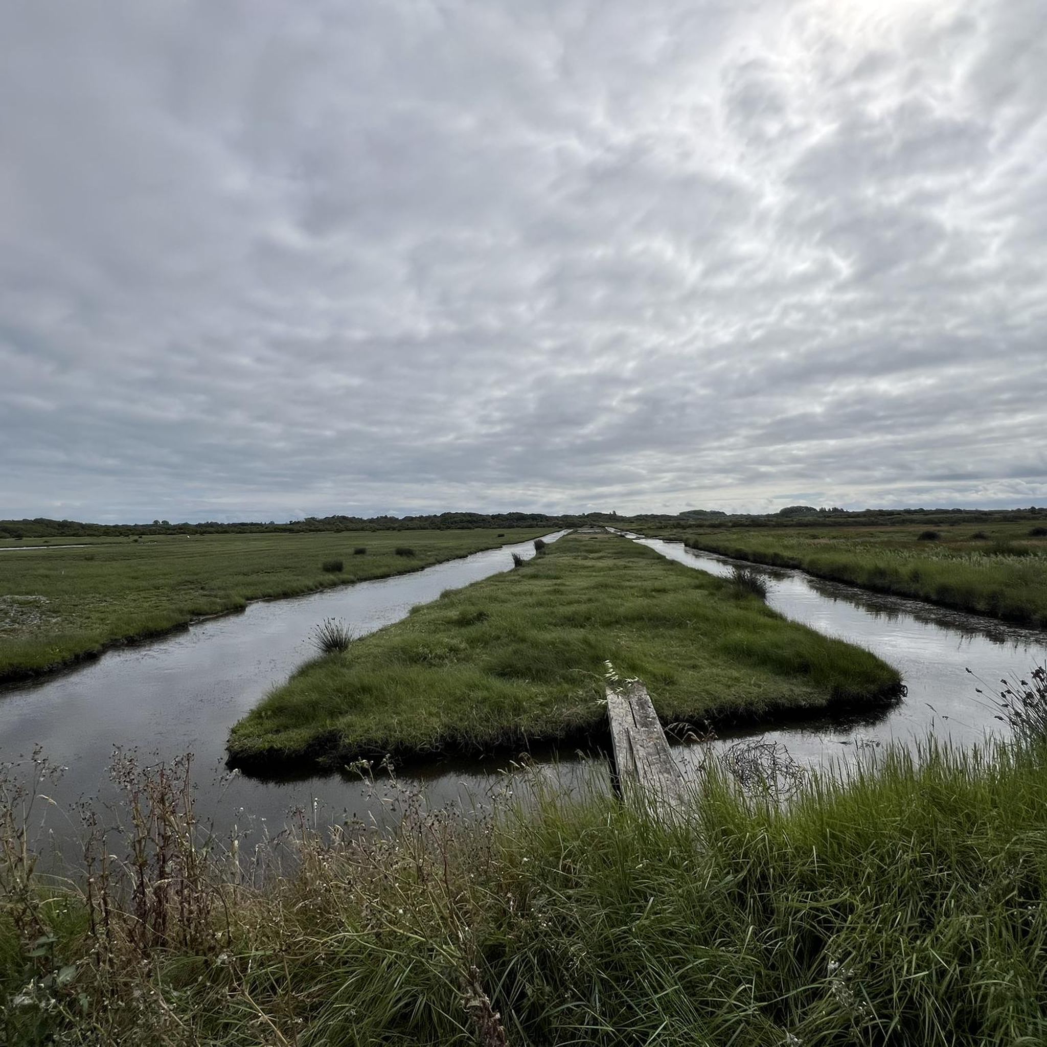
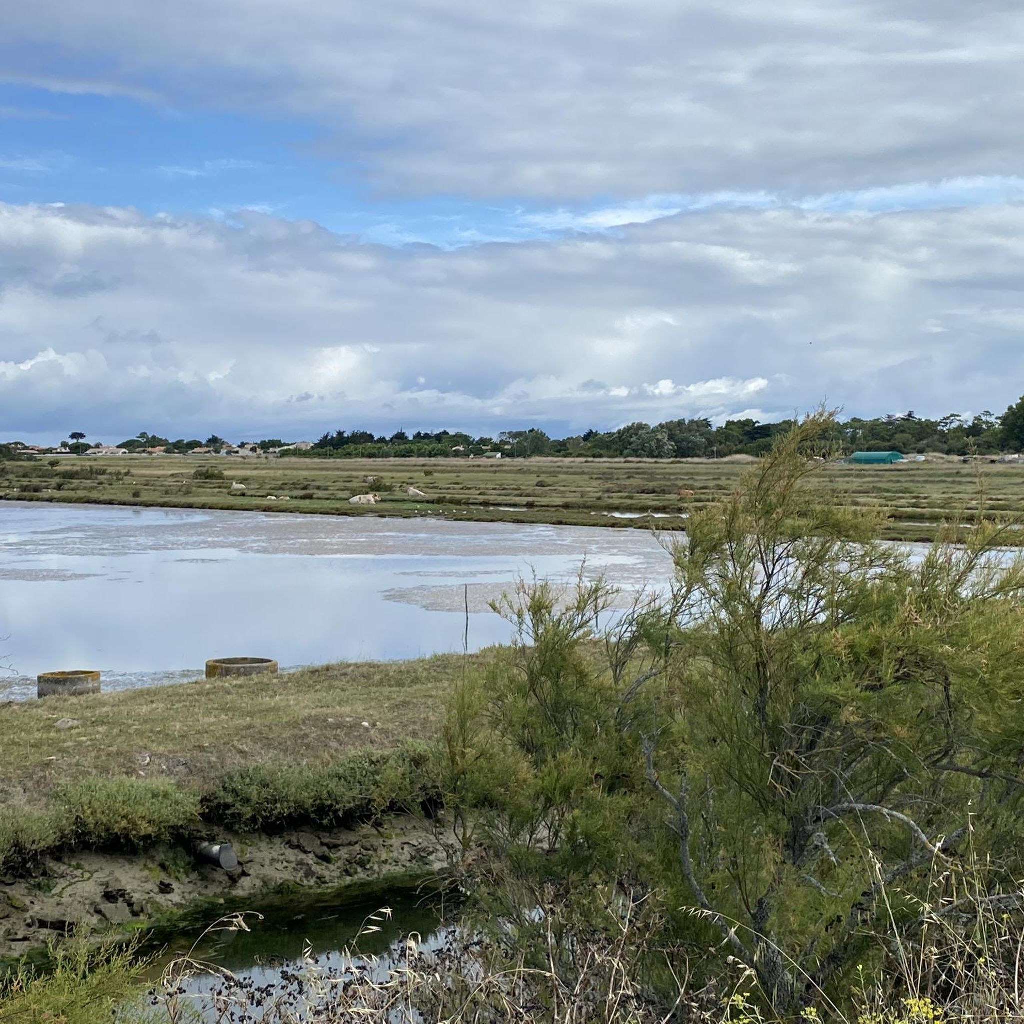
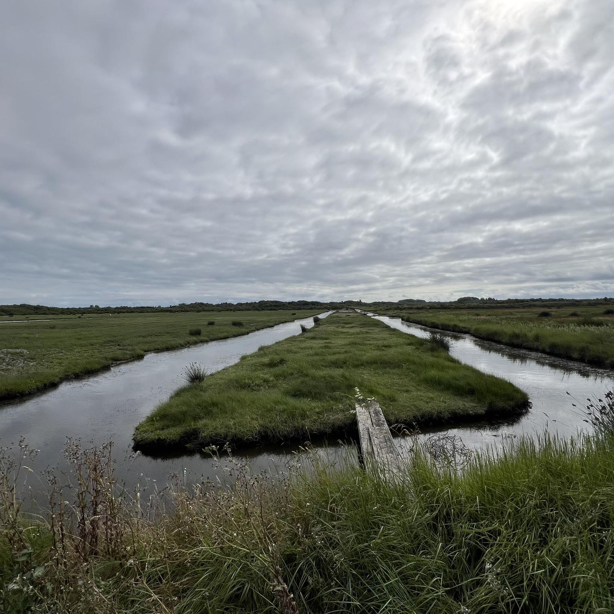
Hiking around La Brée-Les-Bains offers trails primarily along the coast and through low-lying areas. The landscape is characterized by sandy beaches, coastal dunes, and marshlands, with minimal elevation changes. These routes provide opportunities to explore the island's unique maritime environment.
Best hiking trails around La Brée-Les-Bains
- The most popular hiking route is Plage de la Boirie – Colorful Beach Huts loop from La Brée-les-Bains, a 5.1 miles (8.2 km) trail that takes 2 hours 4 minutes to complete. This route features views of the coastline and distinctive beach huts.
- Another top favourite among local hikers is La Brée-les-Bains Beach – La Brée Beach loop from La Brée-les-Bains, an easy 3.7 miles (5.9 km) path. This trail offers coastal scenery along the beaches of La Brée-les-Bains.
- Local hikers also love the La Brée Beach loop from La Brée-les-Bains, a 1.8 miles (2.9 km) trail leading through coastal areas, often completed in about 44 minutes.
- Hiking around La Brée-Les-Bains is defined by coastal paths, sandy beaches, and gentle terrain. The network offers options for various ability levels, including easy hikes La Brée-Les-Bains and moderate routes.
- The routes in La Brée-Les-Bains are highly rated by the komoot community with an average score of 4.3 stars from over 250 reviews. More than 1,700 hikers have used komoot to explore La Brée-Les-Bains's varied terrain.
Last updated: August 18, 2026
4.7
(6)
87
hikers
8.24km
02:05
20m
20m
Moderate hike. Good fitness required. Easily-accessible paths. Suitable for all skill levels.
13
hikers
Easy hike. Great for any fitness level. Easily-accessible paths. Suitable for all skill levels.

Sign up for free
3.0
(2)
14
hikers
2.93km
00:44
0m
0m
Easy hike. Great for any fitness level. Easily-accessible paths. Suitable for all skill levels.
12
hikers
7.65km
01:56
20m
20m
Easy hike. Great for any fitness level. Easily-accessible paths. Suitable for all skill levels.
4.0
(1)
2
hikers
20.3km
05:08
40m
40m
Hard hike. Very good fitness required. Easily-accessible paths. Suitable for all skill levels.
Get access to more routes and recommendations from other explorers.
Sign up for free
Already have an account?
Our route recommendations are based on thousands of hikes, rides, and runs completed by other people on komoot.
Start today with a free account
Your next adventure awaits.
Login or Signup

Tips from the Community

There is little documentation precisely tracing the history of the building that today houses the Villa Coco restaurant. On the other hand, the evolution of the site is well known. In the 1960s and 1970s, the Douhet port was much more modest than it is today. The quays accommodated a few fishing and pleasure boats, and the port buildings were essentially intended for maritime activities (harbor master's office, technical rooms, storage). The place was still little frequented by tourists. From the 1980s onwards, the municipality undertook a major modernization of the port. The quays were redeveloped, the basin was enlarged, and shops appeared to support the development of pleasure boating and tourism. It was in this context that the building now occupied by Villa Coco was converted to accommodate a catering activity. When Villa Coco moved in, the establishment profoundly transformed the premises by creating a vast terrace overlooking the port, an exotic decoration, and a festive atmosphere that contributed to making Douhet a renowned place to go out on the island of Oléron. The restaurant opened in the early 2010s at the Douhet marina, in Saint-Georges-d’Oléron. It was housed in a building offering a privileged view of the boats and quickly distinguished itself with an original concept combining a restaurant, a cocktail bar, and a holiday atmosphere inspired by Bali and the tropical islands. Its name, "Villa Coco," evokes this exotic spirit, found in the decor made of wood, palm trees, thatched roofs, and furniture reminiscent of tropical seaside resorts. The establishment offers cuisine blending French, Mediterranean, and Asian influences, with a significant emphasis on tapas, seafood, and cocktails. Over the years, Villa Coco has become one of the best-known establishments on the island of Oléron. In the summer, the restaurant regularly organizes evenings with concerts, DJs, and entertainment, contributing to making the port of Douhet a popular nightlife spot for both locals and holidaymakers. Today, the establishment is among the highest-rated restaurants in the municipality, with over a thousand online reviews, and is often cited as a must-visit destination for its setting facing the port as much as for its cuisine.
0
0
The port of Douhet, located in the commune of Saint-Georges-d’Oléron, is today a pleasant marina, but its history is intimately linked to the salt and wine trade. Origins Until the 19th century, the region's products (notably salt from the salt marshes and wine from Oléron) were difficult to transport by sea. To remedy this, a vast project was launched in the 1840s: a channel over 3 km long was dug between Saint-Georges-d’Oléron and the ocean, opening onto the new port of Douhet. An active commercial port The port quickly became an export center: * barges loaded salt and wine barrels there; * boats also brought building materials and various goods intended for the island. In the 1870s, there were around 400 ship movements per year, with several thousand tons of goods imported and exported. The decline At the end of the 19th century, several factors led to its decline: * the gradual abandonment of the salt marshes; * the improvement of roads and then the arrival of the tram on the island; * the regular silting up of the channel. After the First World War, the channel silted up almost completely and commercial traffic gradually disappeared. The revival In the late 1980s, the basin was completely rehabilitated and transformed into a marina. It now accommodates around 350 to 400 boats and is one of the main marinas on the island of Oléron. Its location, in the cove of Malconche, offers a remarkable view of Fort Boyard and the Île d’Aix. The old channel, although no longer navigable to the village, continues to supply seawater to the old salt marshes and today constitutes a pleasant walking or cycling route. It is a place where the traces of Oléron's maritime past can still be read in the landscape: the quays, the bridge, the channel, and the old hydraulic structures bear witness to the era when salt was the island's main wealth.
0
0

Renovated, always in operation and possibility to visit
0
0
Traces of the first jetty at the port of Saint-Denis date back to the 12th century, used for transporting Chassiron wine to La Rochelle. Official documents appear in the 17th century, including taxes intended to finance the port's renovation. In the 17th and 18th centuries, numerous works on jetty, dikes, and repairs to combat silting were carried out regularly. Constant silting was the main problem—despite successive works, the port continued to silt up, which hampered its functionality. At the beginning of the 19th century, the idea of a protected port was abandoned and the breakwater was destroyed. Between the 1920s and 1930s, the port was gradually abandoned due to silting, lack of traffic, and also changes in transportation modes (railways, etc.). With the rise of tourism in the mid-late 20th century, the rehabilitation project was put back on the agenda. The new marina was inaugurated on July 23, 1989. It offers several hundred moorings (approximately 700-750 depending on the source) and replaces the old port, which was unusable due to the sand. In 2006, a commercial area and service infrastructure (restaurants, shops, bicycle rentals, etc.) were added around the port to make it more attractive to boaters and visitors.
0
0
This marina dates back to the 12th century, the result of significant commercial activity between Oléron and Northern Europe. Access Easy access by boat. Regulated access. Fixed or organized mooring. Free parking nearby. On-site Access for people with reduced mobility. Wi-Fi access. Water supply. Electricity supply. Gas station. Restrooms and toilets. Technical Area 12 docks: from A to L • Dock A: Visitor pontoon • 1 pontoon for professionals (P) • 1 fuel pontoon • 1 landing stage pontoon • 1 waiting pontoon near the slipway Equipment on the pontoons • Emergency buoy • Electrical and water terminals • Emergency ladder • Fire extinguisher Onshore parking • Vessels may be moored on land for a maximum of 11 consecutive months • Contact the harbor master's office for information on the various packages Career area • 10 spaces • Mini-waste disposal center available Launching • Paid access to the port slipway • Various packages and subscriptions available Shipyards • Technical Stopover 0546757106 or 0680034248 escaletechnique0469@orange.fr • Lumina Shipyard 0681088471 chantier.lumina@orange.fr
0
0
This path, which runs along the sea between La Bree-les-Bains and Saint-Denis, has the advantage of being dotted on one side with century-old pine trees whose height is dizzying, and on the other with dunes with beaches not only for swimming but also for the life of the animal species that inhabit them, whose survival depends on our attitude. The shade provided by the trees and the sea spray make it a very pleasant walk in hot weather.
0
0
This marina was established in the 12th century, the result of significant commercial activity between Oléron and Northern Europe. Tel: +33 5 46 47 97 97 VHF 9 Reservations: +33 5 46 47 97 97 Website Access The port of Saint-Denis-d'Oléron is located east of the northern tip of the island of Oléron, 0.8 miles south of the Palles beacon. Easy access by boat. Regulated access. Fixed or organized mooring. Free parking nearby. On-site Access for people with reduced mobility. Wi-Fi access. Water supply. Electricity supply. Gas station. Restrooms and toilets. Technical Area 12 docks: from A to L • Dock A: Visitor pontoon • 1 pontoon for professionals (P) • 1 fuel pontoon • 1 jetty pontoon • 1 waiting pontoon near the slipway Equipment on the pontoons • Emergency buoy • Electrical and water terminals • Emergency ladder • Fire extinguisher Onshore parking • Vessels can be moored on land for a maximum of 11 consecutive months • Contact the harbor master's office for information on the various packages Career area • 10 spaces • Mini-waste disposal center available Launching • Paid access to the port slipway • Various packages and subscriptions available Shipyards • Technical Stopover 0546757106 or 0680034248 escaletechnique0469@orange.fr • Lumina Shipyard 0681088471 chantier.lumina@orange.fr
0
0
Frequently Asked Questions
How many hiking trails are available in La Brée-Les-Bains?
There are over 15 hiking routes around La Brée-Les-Bains, offering a variety of experiences from easy coastal strolls to longer explorations of the island's unique maritime environment.
What is the general terrain like for hiking in La Brée-Les-Bains?
The terrain in La Brée-Les-Bains is primarily flat, characterized by sandy beaches, coastal dunes, and marshlands. You'll find minimal elevation changes, making most routes accessible and enjoyable for a wide range of hikers.
Are there easy hiking options in La Brée-Les-Bains?
Yes, La Brée-Les-Bains offers a good selection of easy hikes. Approximately half of the routes in the area are classified as easy, perfect for a relaxed walk. An example is the La Brée-les-Bains Beach – La Brée Beach loop from La Brée-les-Bains, which is 3.7 miles (5.9 km) long.
Are there any circular hiking routes in La Brée-Les-Bains?
Many of the trails in La Brée-Les-Bains are circular, allowing you to start and end at the same point. For instance, the Plage de la Boirie – Colorful Beach Huts loop from La Brée-les-Bains is a popular 5.1-mile (8.2 km) loop that showcases coastal views and distinctive beach huts.
Are the hiking trails in La Brée-Les-Bains suitable for families with children?
Absolutely. The generally flat and well-maintained coastal paths make many routes ideal for families. The shorter, easy trails, such as the La Brée Beach loop from La Brée-les-Bains (1.8 miles / 2.9 km), are particularly suitable for walks with children.
Can I bring my dog on the hiking trails in La Brée-Les-Bains?
Yes, many trails in La Brée-Les-Bains are dog-friendly, especially those along the beaches and coastal paths. However, it's always recommended to keep your dog on a leash and be mindful of local regulations, particularly during peak seasons or in protected natural areas.
What interesting sights or landmarks can I see while hiking in La Brée-Les-Bains?
While hiking, you can explore various points of interest. Consider routes that pass by the historic La Brée Mill or offer views of the Chassiron lighthouse in the distance. The La Morelière coastal path also provides scenic views of the coastline.
What do other hikers say about the trails in La Brée-Les-Bains?
The hiking routes in La Brée-Les-Bains are highly rated by the komoot community, with an average score of 4.3 stars from over 250 reviews. Hikers often praise the beautiful coastal scenery, the ease of access, and the peaceful atmosphere of the trails.
What is the best time of year to go hiking in La Brée-Les-Bains?
The best time for hiking in La Brée-Les-Bains is typically from spring to early autumn (April to October). During these months, the weather is generally mild and pleasant, ideal for enjoying the coastal paths and beaches. Summer can be popular, but spring and autumn offer fewer crowds and comfortable temperatures.
Are there any longer or more challenging hikes for experienced hikers?
While most trails are easy to moderate, there are options for longer hikes. The La Brée Mill – View of La Nègrerie loop from La Brée-les-Bains is a more challenging 12.6-mile (20.3 km) route, offering a longer exploration of the area's diverse landscapes.
What kind of views can I expect on hikes around La Brée-Les-Bains?
Hikes in La Brée-Les-Bains primarily offer expansive coastal views, including sandy beaches, the Atlantic Ocean, and the unique marshland ecosystems. You'll also encounter charming beach huts and glimpses of local maritime life.
Are there options for wild swimming near the hiking trails?
Given the coastal nature of La Brée-Les-Bains, many hiking trails run alongside beaches and the ocean, providing opportunities for a refreshing dip. Always check local signage for designated swimming areas and safety information.
Most popular routes around La Brée-Les-Bains
Most popular attractions around La Brée-Les-Bains

Get inspired with the komoot mobile app


Explore more
Browse the best Hikes in other regions.
