The best walks and hikes around Couthures-Sur-Garonne
4.4
(38)
247
hikers
44
hikes
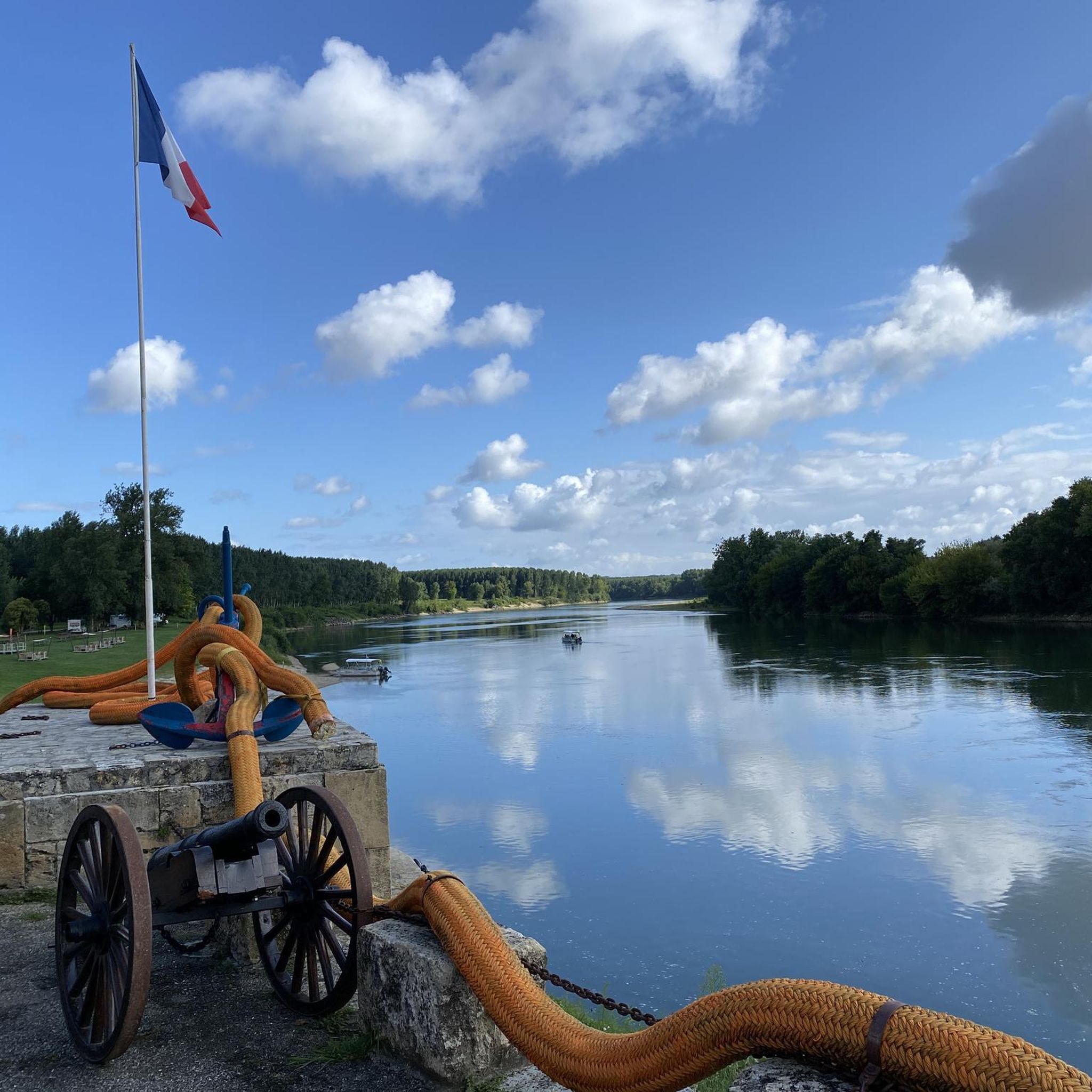
Hiking around Couthures-Sur-Garonne offers routes shaped by the Garonne River, which defines the region's landscape. The terrain is characterized by low elevations, with trails often following riverbanks and providing views of the waterway. This area features diverse natural features, including rich riverine ecosystems. The village itself is nestled in a bend of the Garonne, making the river a central element of all outdoor activities.
Best hiking trails around Couthures-Sur-Garonne
- The most popular hiking route is La Filhole and Garonne Nature…
Last updated: June 29, 2026
5.0
(1)
4
hikers
6.31km
01:37
20m
20m
Easy 3.9-mile loop hike in Marmande's Parc de la Filhole, offering a pleasant walk with minimal elevation gain.
2.5
(4)
58
hikers
2.38km
00:36
0m
0m
Easy hike. Great for any fitness level. Easily-accessible paths. Suitable for all skill levels.

Sign up for free
4.5
(2)
8
hikers
10.1km
02:34
30m
30m
Moderate hike. Good fitness required. Easily-accessible paths. Suitable for all skill levels.
4.3
(7)
8
hikers
14.9km
04:06
250m
250m
Moderate hike. Good fitness required. Easily-accessible paths. Suitable for all skill levels.
10
hikers
Easy hike. Great for any fitness level. Easily-accessible paths. Suitable for all skill levels.
Get access to more routes and recommendations from other explorers.
Sign up for free
Already have an account?
Our route recommendations are based on thousands of hikes, rides, and runs completed by other people on komoot.
Start today with a free account
Your next adventure awaits.
Login or Signup


Other adventures around Couthures-Sur-Garonne

Tips from the Community

The vast majority of large churches in France bear the title "Notre-Dame" (which in German corresponds to the – much rarer – "Unserer Lieben Frau"). The patronage of this house of worship in the historic center of Marmande, and thus the corresponding parish community, has therefore been entrusted to Mary. The church itself is architecturally in the transition period from Romanesque to Gothic.
0
0

beautiful course with well-distributed gradients on the circuit... alternating open spaces and undergrowth.
0
0


Aqueduct of the Garonne canal.
0
0

Shaded hiking possible on and off road
0
0

The viewing terrace is in the wrong place! At this point there is only one information sign.
0
0

Mauvezin-sur-Gupie is a commune in the south-west of France, located in the north-west of the Lot-et-Garonne department, in the Nouvelle-Aquitaine region.
0
0
Beaupuy is a commune in the south-west of France, located in the department of Lot-et-Garonne, in the Nouvelle-Aquitaine region.
0
0
Frequently Asked Questions
How many hiking trails are available around Couthures-sur-Garonne?
There are over 35 hiking routes available around Couthures-sur-Garonne. These include a mix of easy strolls and moderate paths, with 18 routes classified as easy and 19 as moderate, ensuring options for various fitness levels.
What is the typical terrain like for hiking in Couthures-sur-Garonne?
The terrain around Couthures-sur-Garonne is primarily characterized by low elevations, with trails often following the banks of the Garonne River. You can expect scenic views of the waterway and its rich riverine ecosystem. Some routes also explore areas around canals and lakes, offering varied waterside scenery.
Are there family-friendly hiking options in Couthures-sur-Garonne?
Yes, Couthures-sur-Garonne offers several easy routes suitable for families. These trails typically have minimal elevation gain and follow well-defined paths, often along the river or around local lakes, providing a pleasant experience for all ages. For example, the Lake Beaupuy loop from Marmande is an easy 3.6 km path with waterside scenery.
What natural features or landmarks can I see along the hiking trails?
The Garonne River is the central natural feature, with many trails offering expansive views of this powerful waterway. You can also explore the Garonne Lateral Canal, which features prominently in some routes. The village itself, Couthures-sur-Garonne Riverside Village, is a charming landmark, and the Notre-Dame Church is another notable point of interest within the village.
Are there circular hiking routes available?
Yes, many of the hiking routes in the area are circular, allowing you to start and end at the same point. An example is the Path Along the Canal loop from Gaujac, which is a moderate 10.1 km trail.
What do other hikers say about the trails in Couthures-sur-Garonne?
The trails in Couthures-sur-Garonne are highly regarded by the komoot community, with an average rating of 4.4 stars from over 30 reviews. Hikers often praise the peaceful riverine environment, the well-maintained paths, and the opportunity to connect with nature along the Garonne.
Is there parking available near the trailheads?
While specific parking details vary by trailhead, Couthures-sur-Garonne is a village with accessible points. Many routes, especially those starting within or near the village, will have designated parking areas or roadside parking options. It's advisable to check the individual route descriptions on komoot for precise starting points and parking information.
Are there any specific attractions related to the Garonne River that I can visit?
Absolutely. The Fous de Garonne interpretation center is a key attraction. It offers an immersive experience into the Garonne river's history, its floods, and the local community's adaptation, including a 'Cabane Nature' with 3D projections of the river's ecosystem. It's an excellent complement to exploring the outdoors.
What is the best time of year to go hiking in Couthures-sur-Garonne?
The region around Couthures-sur-Garonne is pleasant for hiking during much of the year. Spring and autumn offer mild temperatures and beautiful scenery, making them ideal. Summer also allows for hiking, often combined with water-based activities on the Garonne, though it can be warmer. Winter hikes are possible, but check local weather conditions.
Are dogs allowed on the hiking trails?
Generally, dogs are welcome on many hiking trails in the Couthures-sur-Garonne area, especially on public paths. However, it's always recommended to keep them on a leash, particularly in areas with wildlife or near agricultural land, and to respect local regulations. Specific rules might apply in certain protected natural areas, so checking individual route details is advised.
Are there any longer, more challenging routes for experienced hikers?
While Couthures-sur-Garonne is known for its low elevation and generally easy to moderate trails, some routes offer longer distances. For instance, the Town Hall of Mauvezin-sur-Gupie – Beaupuy Town Hall loop from Beaupuy is a moderate 14.9 km hike, providing a more extended experience for those looking for a longer day out.
Can I access trailheads using public transport?
Public transport options directly to every trailhead might be limited in this rural area. Couthures-sur-Garonne is a small village, and while local bus services might connect to nearby towns, reaching specific, more remote trailheads often requires personal transport. It's best to plan your journey in advance and check local transport schedules if relying on public options.
Most popular routes around Couthures-Sur-Garonne
Most popular attractions around Couthures-Sur-Garonne

Get inspired with the komoot mobile app


Explore more
Browse the best Hikes in other regions.
