The best walks and hikes around Valmeinier
4.6
(347)
3,709
hikers
90
hikes
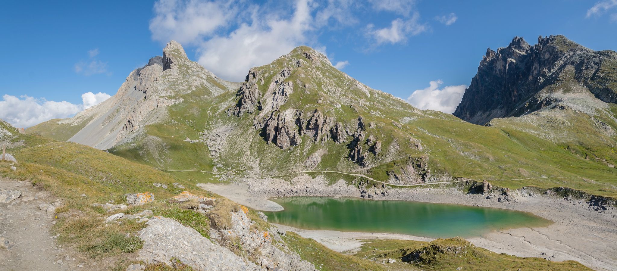
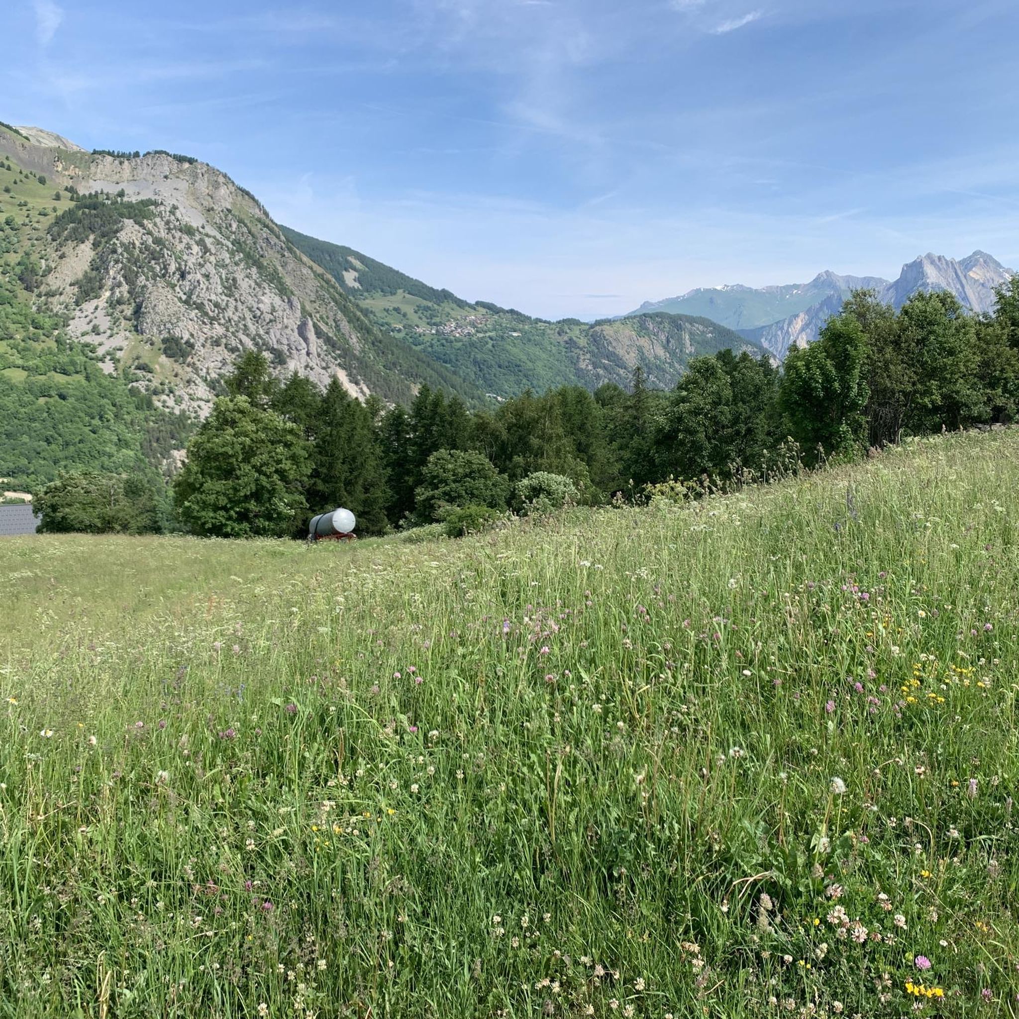
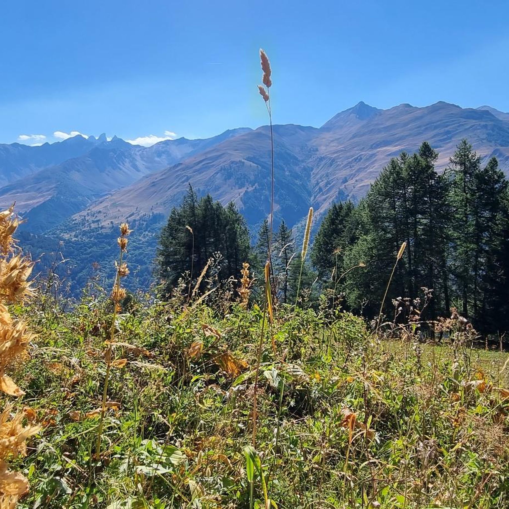
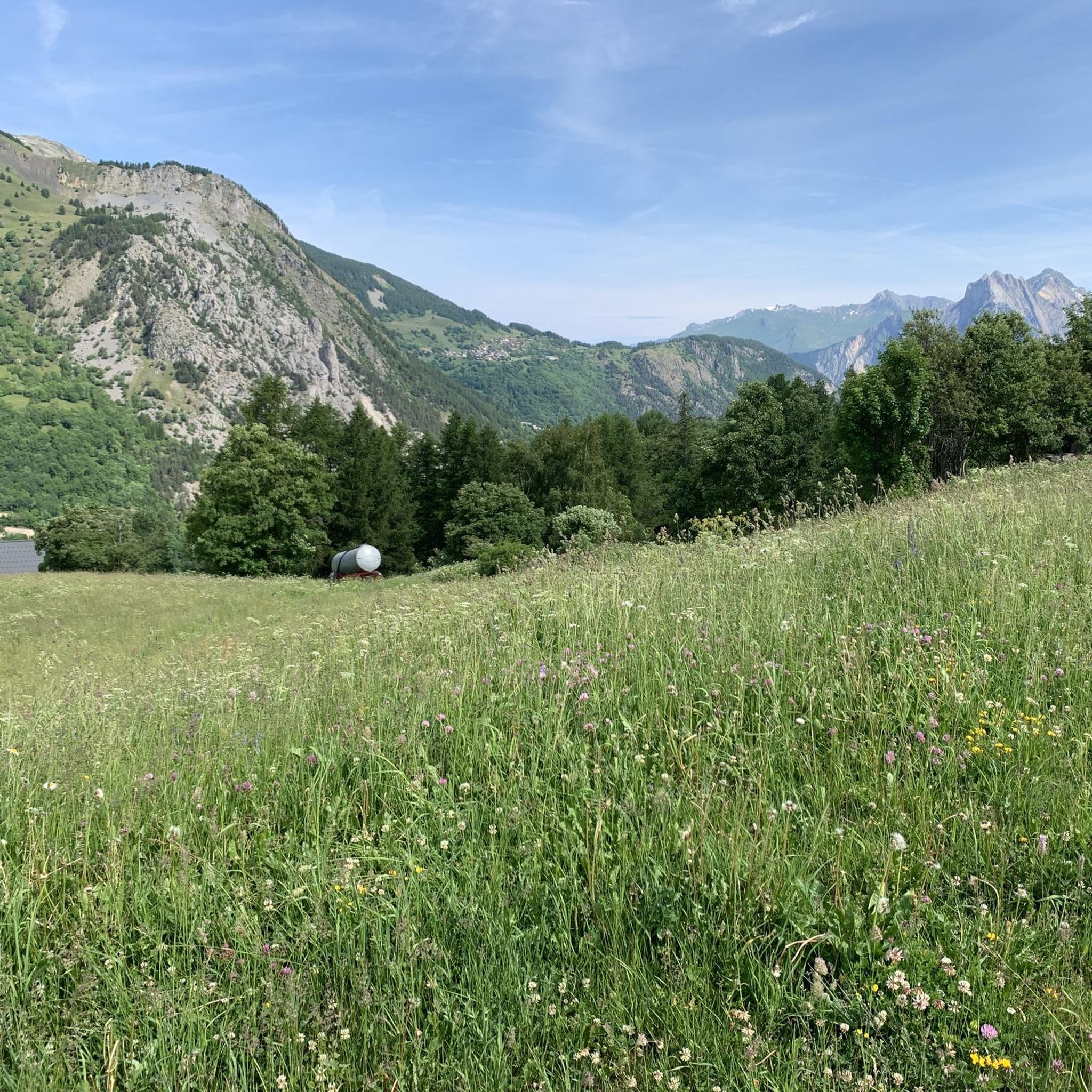
Hiking around Valmeinier offers diverse landscapes within the Maurienne Valley of the French Alps. The region features prominent Alpine peaks, including Mont Thabor, and is dotted with numerous high-altitude lakes such as Lac Vert and Lac de la Roche Noire. Trails often traverse mountain passes like Col des Marches and follow streams through valleys, providing varied terrain for exploration.
Best hiking trails around Valmeinier
- The most popular hiking route is Lac Vert – Bridge over the Neuvache loop from Valmeinier, a 7.4 miles (11.9 km) trail that takes 3 hours 49 minutes to complete, leading to a picturesque alpine lake.
- Another top favourite among local hikers is Bridge over the Neuvache – Lac Vert loop from Valmeinier, a difficult 8.6 miles (13.8 km) path that explores the Neuvache valley and reaches Lac Vert.
- Local hikers also love the Col des Marches – Black Rock Lake loop from Valmeinier, a 8.6 miles (13.9 km) trail leading through a significant mountain pass and to a high-altitude lake, often completed in about 6 hours 31 minutes.
- Hiking around Valmeinier is defined by Alpine peaks, high-altitude lakes, and mountain passes. The network offers options for easy walks, moderate excursions, and challenging multi-hour treks.
- The routes in Valmeinier are highly rated by the komoot community with an average score of 4.6 stars from over 300 reviews. More than 3000 hikers have used komoot to explore Valmeinier's varied terrain.
Last updated: July 1, 2026
4.6
(38)
283
hikers
11.9km
03:49
460m
460m
Moderate hike. Good fitness required. Mostly accessible paths. Sure-footedness required.
5.0
(23)
204
hikers
13.8km
05:02
600m
600m
Hard hike. Very good fitness required. Mostly accessible paths. Sure-footedness required.

Sign up for free
4.7
(17)
152
hikers
13.8km
06:28
960m
970m
Hard hike. Very good fitness required. Mostly accessible paths. Sure-footedness required.
4.4
(7)
105
hikers
Hard hike. Very good fitness required. Sure-footedness, sturdy shoes and alpine experience required.
4.7
(15)
129
hikers
12.8km
03:50
410m
400m
Moderate hike. Good fitness required. Easily-accessible paths. Suitable for all skill levels.
Get access to more routes and recommendations from other explorers.
Sign up for free
Already have an account?
Our route recommendations are based on thousands of hikes, rides, and runs completed by other people on komoot.
Start today with a free account
Your next adventure awaits.
Login or Signup
Other adventures around Valmeinier

Tips from the Community

There must be several along the stream...
0
0
Starting point for many hikes....
0
0


Very disappointing refuge. They're a nuisance when you ask for the weather or the slightest route information. Unpleasant welcome and pushy consumption: the bivouac sites around the refuge are only accessible if you've booked a dinner... and it's impossible to book a dinner on the same day on site! This makes no sense. After talking with other hikers and local people/professionals, this seems normal, and the warden's reputation precedes him... Too bad.
0
0

Very friendly little souvenir shop selling local products. I recommend it!
0
0

Arrival point a few meters (50 meters) from the summit of Thabor
0
0
Frequently Asked Questions
How many hiking trails are available in Valmeinier?
Valmeinier offers a wide selection of hiking trails, with over 80 routes available for exploration. These trails cater to various fitness levels, from easy walks to challenging multi-hour treks.
What types of hiking trails can I find in Valmeinier?
The hiking trails in Valmeinier are diverse, with 21 easy routes perfect for leisurely strolls, 43 moderate trails for more extended excursions, and 19 difficult paths for experienced hikers seeking a challenge. This variety ensures options for all skill levels.
Are there any easy hikes suitable for families or beginners in Valmeinier?
Yes, Valmeinier has 21 easy routes ideal for families and beginners. These trails often feature gentle inclines and accessible paths, allowing everyone to enjoy the beautiful Alpine scenery. Many trails in the Neuvache Valley offer pleasant, shaded walks suitable for a relaxed outing.
Which trails in Valmeinier feature picturesque alpine lakes?
The region is dotted with beautiful high-altitude lakes. You can explore trails leading to Lac Vert, Lac de la Roche Noire, Lac Curtalés, Lac Rond, Lac Cornu, and Lac des Batailléres. A popular option is the Lac Vert – Bridge over the Neuvache loop from Valmeinier, which leads to the magnificent Lac Vert.
Are there challenging hikes for experienced trekkers in Valmeinier?
Absolutely. Valmeinier offers 19 difficult trails for experienced trekkers. These often involve significant elevation gain and require good alpine experience. A notable challenging route is the Chapel of Our Lady of Sorrows – Mount Thabor loop from Communauté de communes Maurienne-Galibier, which takes you towards the prominent Mont Thabor.
What are some notable mountain passes or viewpoints to explore?
Hikers can find exceptional views from mountain passes like Col des Marches and Col du Télégraphe. The Col des Marches – Black Rock Lake loop from Valmeinier takes you through this significant pass, offering stunning vistas. You can also find panoramic views of Mont Thabor, the Aiguilles d'Arves, and the Galibier from various points.
Are there any circular hiking routes in Valmeinier?
Yes, many trails in Valmeinier are designed as loops, allowing you to start and end at the same point. For example, the Bridge over the Neuvache – Lac Vert loop from Valmeinier is a challenging circular path that explores the Neuvache valley and reaches Lac Vert.
What kind of natural features and landscapes can I expect to see while hiking?
Valmeinier's landscape is characterized by prominent Alpine peaks, including Mont Thabor, and numerous high-altitude lakes. You'll traverse mountain passes, follow streams through valleys like the Neuvache, and enjoy breathtaking panoramic views of the surrounding mountains, including the Aiguilles d'Arves and even distant peaks of the Écrins massif.
What do other hikers enjoy most about hiking in Valmeinier?
The hiking routes in Valmeinier are highly rated by the komoot community, with an average score of 4.6 stars from over 300 reviews. Hikers often praise the diverse landscapes, the stunning alpine lakes, and the panoramic mountain views that make each trail a unique experience.
Are there any specific landmarks or attractions near the hiking trails?
Yes, beyond the natural beauty, you can find interesting landmarks. The Mount Thabor summit itself is a significant attraction. Other notable points include the Col du Galibier and the Col du Télégraphe, both mountain passes offering spectacular scenery and historical significance.
What is the best time of year to go hiking in Valmeinier?
The best time for hiking in Valmeinier is typically during the warmer months, from late spring to early autumn, when the trails are clear of snow and the alpine flora is in bloom. This period offers the most accessible conditions for exploring the diverse landscapes and high-altitude lakes.
Are there any trails that offer views of the traditional villages?
Valmeinier itself is composed of an old village (Valmeinier 1500) and a higher village (Valmeinier 1800), both retaining traditional mountain charm. Many trails start directly from these villages, offering glimpses of their unique architecture and serving as excellent starting points for your mountain excursions.
Most popular routes around Valmeinier
Most popular attractions around Valmeinier

Get inspired with the komoot mobile app


Explore more
Browse the best Hikes in other regions.
