The best MTB trails around Saint-Éloy-D'Allier
4.7
(14)
27
riders
8
rides
Mountain bike trails around Saint-Éloy-D'Allier traverse a landscape characterized by undulating hills and valleys, with elevations ranging from 257 meters to 400 meters above sea level. The region, nestled in France's Allier department, features lush green countryside, extensive forests, and winding rivers. This varied terrain provides a dynamic environment for mountain biking, with routes often winding through wooded areas and along natural waterways.
Best mountain bike trails around Saint-Éloy-D'Allier
- The most popular mountain bike trail is La brande de Tillay…
Last updated: July 11, 2026
3
riders
22.9km
01:47
250m
250m
Moderate mountain bike ride. Great for any fitness level. Advanced riding skills necessary.
2
riders
27.4km
01:50
330m
330m
Moderate mountain bike ride. Good fitness required. Advanced riding skills necessary.

Sign up for free
4.0
(1)
2
riders
33.2km
02:12
350m
350m
Moderate mountain bike ride. Good fitness required. Advanced riding skills necessary.
3
riders
40.2km
03:16
510m
510m
Moderate mountain bike ride. Good fitness required. Advanced riding skills necessary.
3
riders
52.7km
04:11
660m
660m
Moderate mountain bike ride. Good fitness required. Advanced riding skills necessary.
Get access to more routes and recommendations from other explorers.
Sign up for free
Already have an account?
Our route recommendations are based on thousands of hikes, rides, and runs completed by other people on komoot.
Start today with a free account
Your next adventure awaits.
Login or Signup
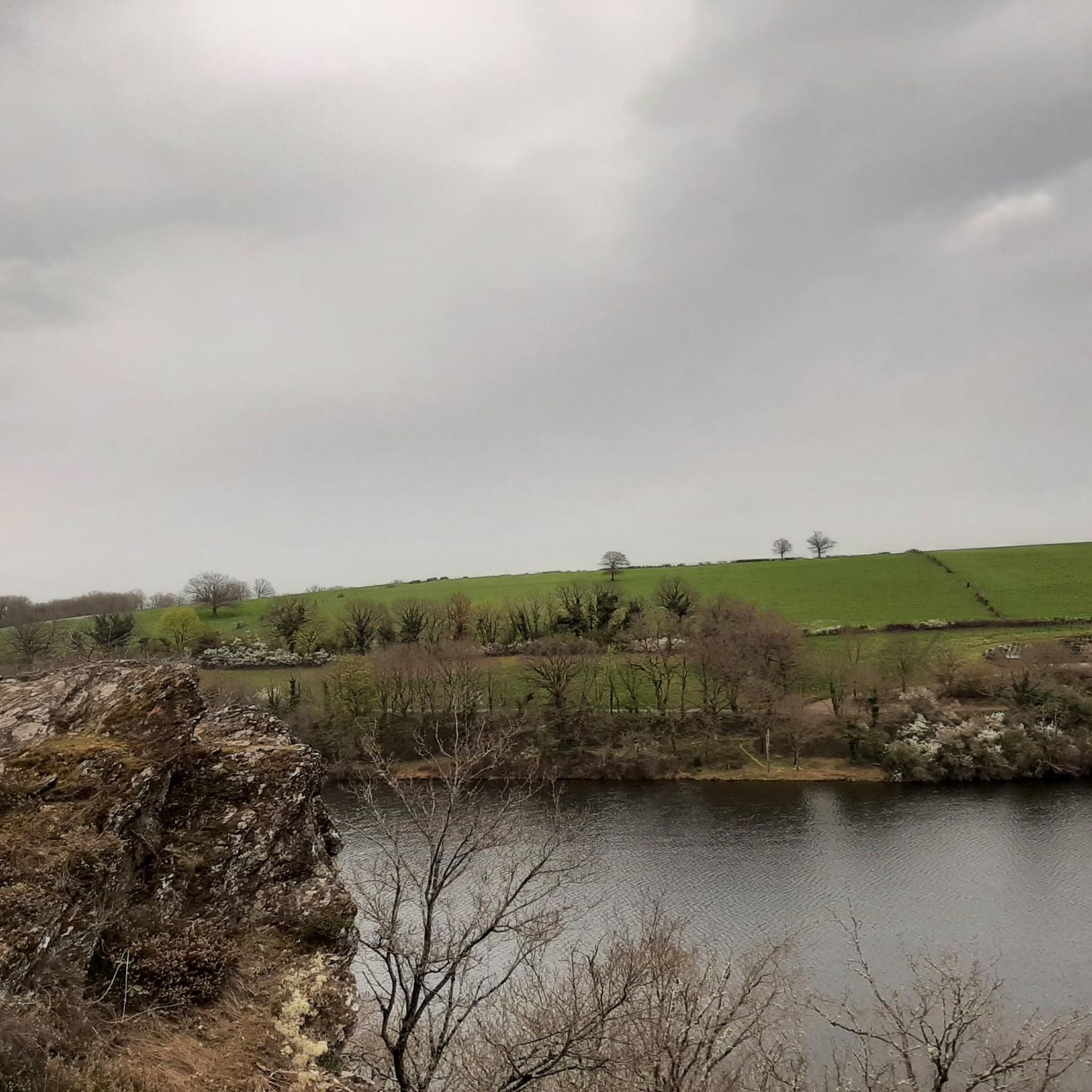
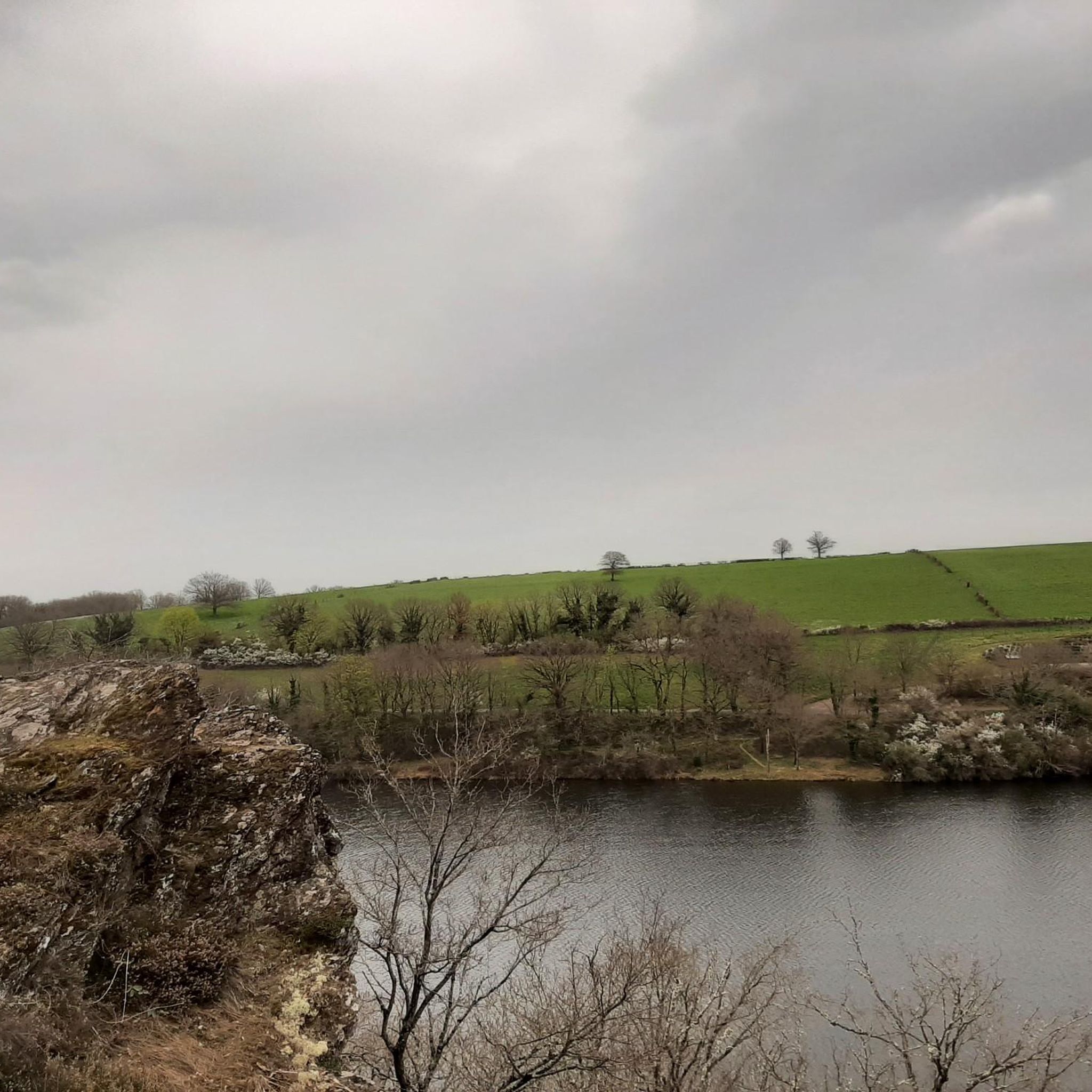

Tips from the Community

The most beautiful view is from the bridge.
0
0

The path follows the banks of the Arnon and offers a beautiful view of the Château de Culan before passing under the road bridge and then under the viaduct
0
0
A viaduct in two parts. The first spans the Moulin Neuf road and the second spans the Arnon. It rises to a height of 55 meters and welcomes bungee jumpers who take off in front of the castle.
0
0
Single track with some technical sections, some pushing and beautiful views of the lake.
0
0
A fairly wide ford which is fortunately doubled by a (beautiful) footbridge. The ford has a fairly hard gravel bottom.
0
0
There can be a lot of water in this ford, which is why there is a footbridge. Otherwise, the bottom is hard and easy to cross. A beautiful descent and a big climb in both directions!
0
0
Beneath the Abbaye des Pierres, this ford is easy to cross thanks to its concrete bottom. Depending on the season, you may need to use the footbridge to avoid getting your feet wet. In either direction, there's a beautiful descent and a big climb!
0
0
Beneath the Abbaye des Pierres, this ford is easy to cross thanks to its concrete bottom. The footbridge can be useful if the water level is too high. In both directions, there's a beautiful descent and a big climb!
0
0
Frequently Asked Questions
What kind of terrain can I expect on mountain bike trails around Saint-Éloy-D'Allier?
The mountain bike trails around Saint-Éloy-D'Allier traverse a diverse landscape characterized by undulating hills and valleys, with elevations ranging from 257 to 400 meters. You'll encounter lush green countryside, extensive forests, and winding river valleys. The region's varied topography, including gorges and hedgerows, offers a mix of technical challenges and scenic rides through natural surroundings.
Are there mountain bike trails suitable for beginners or families in the Saint-Éloy-D'Allier area?
While the trails directly around Saint-Éloy-D'Allier are generally rated as moderate, the broader Allier department offers a range of difficulty levels. The region caters to all levels, from easy rides suitable for families to more challenging routes. For a moderate family-friendly option, consider the La brande de Tillay loop from Chazemais, which explores wooded areas and countryside.
What are some notable natural features or landmarks I can see while mountain biking in the region?
The region offers several interesting natural features and landmarks. You can explore the extensive Foret de Troncais, located about 33km away, or discover the geological features of the Pierres Jaumetres, roughly 25km distant. The Allier River, one of Europe's last wild rivers and a Natura 2000 area, also provides opportunities to observe diverse flora and fauna. Additionally, you might encounter the Lac de Sidiailles or the Viaduct of Culan.
Are there any circular mountain bike routes available near Saint-Éloy-D'Allier?
Yes, many of the mountain bike routes in the area are designed as loops. For example, the Bois de Bussière loop from Les Fruits du Passau offers a moderate 27.4 km path through forest trails and open rural scenery. Another option is the Rifoulet🤗 ford loop from Vesdun, a 31.8 km trail with varied terrain.
What do other mountain bikers say about the trails in Saint-Éloy-D'Allier?
The mountain bike routes around Saint-Éloy-D'Allier are highly rated by the komoot community, with an average score of 4.5 stars from over a dozen reviews. Mountain bikers often praise the varied terrain, which includes undulating hills, dense forests, and river valleys, offering a mix of moderate challenges and scenic beauty.
Can I bring my dog on the mountain bike trails in the Allier department?
While specific regulations for dogs on mountain bike trails in Saint-Éloy-D'Allier are not detailed, generally, dogs are welcome on many trails in the Allier department, especially in rural and forested areas. It's always advisable to keep your dog under control, preferably on a leash, to protect wildlife and ensure a pleasant experience for all trail users. Always check local signage for any specific restrictions.
What is the best time of year for mountain biking around Saint-Éloy-D'Allier?
The region's lush green countryside and forests make spring and autumn particularly pleasant for mountain biking, with milder temperatures and vibrant foliage. Summer can also be enjoyable, especially in the shaded forest sections, but be prepared for warmer weather. Winter riding is possible, but some trails might be muddy or slippery depending on rainfall.
Are there any specific castles or historical sites accessible by mountain bike?
Yes, the region is rich in history. You can find historical sites like the Château de Culan and the Ruins of the Château de la Roche-Guillebaud nearby. While not all trails lead directly to these sites, many routes pass through the surrounding areas, allowing for scenic detours to explore these landmarks.
Where can I find parking for mountain biking near Saint-Éloy-D'Allier?
Parking is generally available in the villages and starting points of the various routes. For example, routes like the Ford on the Joyeuse🤗 river loop starts from Culan, where you can typically find parking. It's recommended to check the specific tour details on komoot for suggested starting points and parking information.
Are there any mountain bike trails that feature river crossings or fords?
Yes, some trails in the area incorporate river crossings or fords, adding an adventurous element to your ride. The Rifoulet🤗 ford loop from Vesdun is a prime example, leading through varied terrain including river fords. Another route, the Ford on the Joyeuse🤗 river loop from Culan, also features a ford on the Joyeuse river.
What is the typical duration for a mountain bike ride in this area?
The duration of a mountain bike ride varies depending on the route length and your pace. For instance, a moderate trail like the La brande de Tillay loop from Chazemais, which is 22.9 km, typically takes about 1 hour 47 minutes. Longer routes, such as the 52.3 km Ford on the Joyeuse🤗 river loop from Culan, can take around 4 hours 9 minutes.
Are there any mountain bike trails directly within the commune of Saint-Éloy-D'Allier?
While Saint-Éloy-D'Allier itself is a small, rural commune, its undulating terrain of hills and valleys provides a natural setting for local rides. The listed komoot tours generally start from nearby villages like Chazemais, Les Fruits du Passau, or Vesdun, which are all in close proximity and offer direct access to the region's extensive network of trails.
Most popular routes around Saint-Éloy-D'Allier
Most popular attractions around Saint-Éloy-D'Allier

Get inspired with the komoot mobile app


Explore more
Browse the best MTB trails in other regions.
