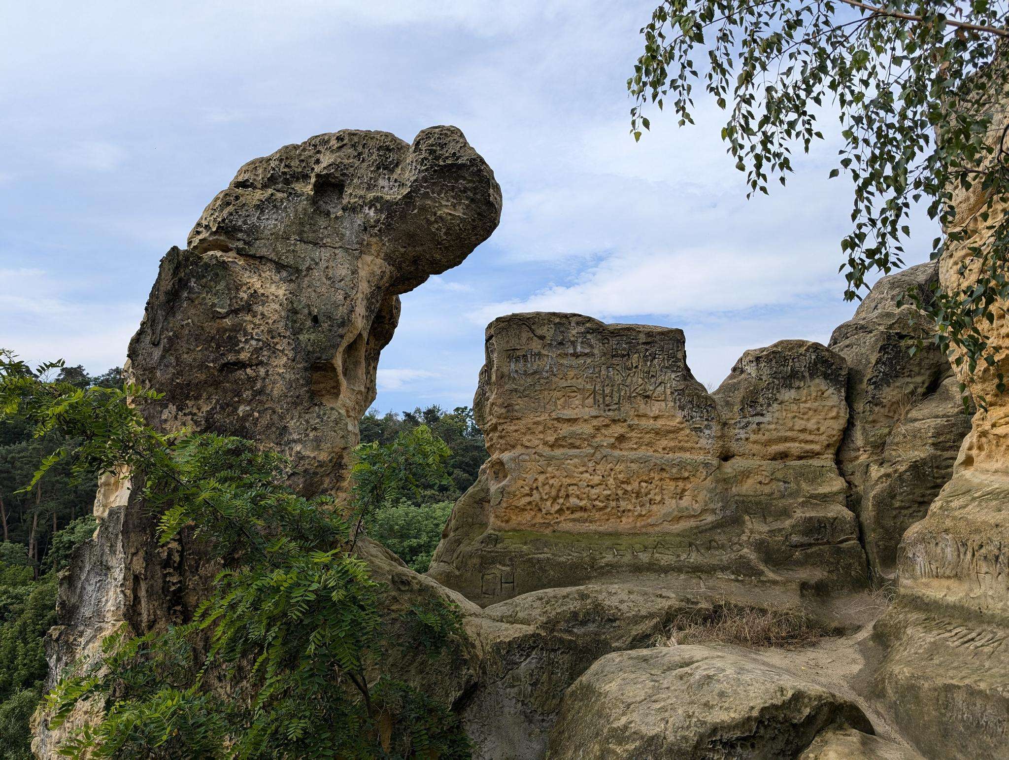
The best running trails around Clairy-Saulchoix
4.3
(141)
7,640
runners
277
runs
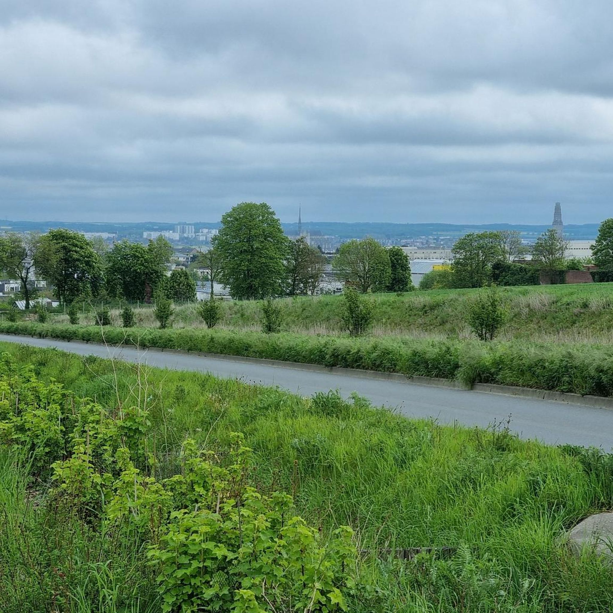
Jogging around Clairy-Saulchoix offers access to a diverse natural landscape in the Somme department of France. The region features extensive agricultural spaces, significant wooded areas, and three river valleys: the Somme, Avre, and Noye. These varied terrains provide a range of surfaces and scenic backdrops for runners, including shaded paths within large forests. The broader Picardy countryside, characterized by rolling hills and valleys, contributes to diverse natural habitats.
Best jogging routes around Clairy-Saulchoix
- The most popular jogging route is Forêt…
Last updated: June 26, 2026
66
runners
16.2km
02:00
190m
190m
Hard run. Very good fitness required. Mostly paved surfaces. Suitable for all skill levels.
18
runners
5.12km
00:38
70m
70m
Moderate run. Good fitness required. Mostly paved surfaces. Suitable for all skill levels.

Sign up for free
7
runners
9.86km
01:02
50m
50m
Moderate run. Good fitness required. Mostly paved surfaces. Suitable for all skill levels.
11
runners
18.6km
02:15
210m
210m
Hard run. Very good fitness required. Mostly paved surfaces. Suitable for all skill levels.
5
runners
6.29km
00:39
30m
30m
Moderate run. Good fitness required. Mostly paved surfaces. Suitable for all skill levels.
Get access to more routes and recommendations from other explorers.
Sign up for free
Already have an account?
Our route recommendations are based on thousands of hikes, rides, and runs completed by other people on komoot.
Start today with a free account
Your next adventure awaits.
Login or Signup

Frequently Asked Questions
What kind of terrain can I expect on the running routes around Clairy-Saulchoix?
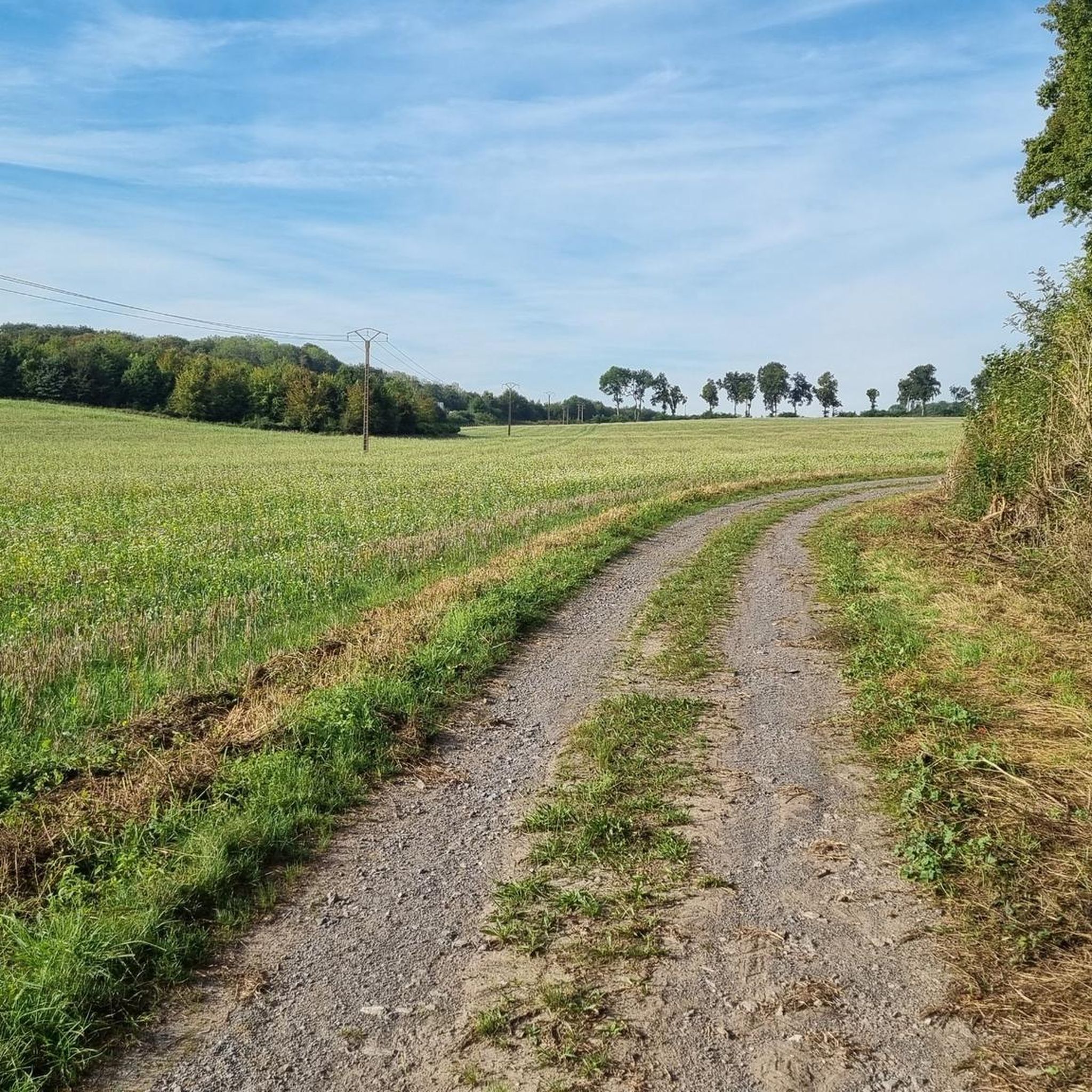
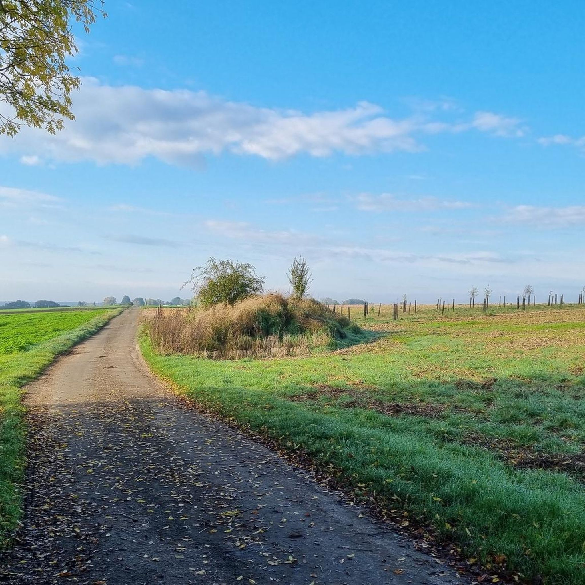
The region around Clairy-Saulchoix offers a diverse natural landscape, perfect for running. You'll find a mix of undulating plains, dry valleys, and extensive wooded areas. Many routes feature shaded paths within large forests, and the broader Picardy countryside provides rolling hills and varied natural habitats.
Are there many running trails available in the Clairy-Saulchoix area?
Yes, there are nearly 300 running routes around Clairy-Saulchoix listed on komoot. These routes cater to various fitness levels, with 23 easy, 232 moderate, and 35 difficult options available.
Can I find easy jogging routes suitable for beginners or a relaxed pace?
Absolutely. There are 23 easy jogging routes in the Clairy-Saulchoix area. For example, the Running loop from Creuse is a moderate 5.1 km path, offering a pleasant experience without extreme difficulty.
Are there any long-distance or challenging running trails in the region?
For those seeking a challenge, Clairy-Saulchoix offers 35 difficult running routes. A notable option is the Mont d'Heilly – Forêt Domaniale de Creuse loop from Clairy-Saulchoix, an 18.6 km path that combines elevated terrain with extensive forest sections.
What are some of the natural features or landmarks I might see while running near Clairy-Saulchoix?
The routes often pass through significant wooded areas like the Forêt Domaniale de Creuse. You might also encounter parts of the three main river valleys—the Somme, the Avre, and the Selle—which contribute to diverse natural habitats. While further afield, the GR®123 trail, which passes near Clairy-Saulchoix, can lead to tranquil natural spaces like the marshes of the Saint-Ladre pond nature reserve.
Are there any historical sites or attractions near the running paths?
Yes, the region boasts several historical sites. You could explore nearby castles such as Courcelles-sous-Moyencourt Castle or Picquigny castle. For a more urban experience, the city of Amiens, approximately 10 km away, offers major attractions like the stunning Notre-Dame d'Amiens Cathedral and Jules Verne House.
What do other runners say about the trails in Clairy-Saulchoix?
The running routes in Clairy-Saulchoix are highly rated by the komoot community, with an average score of 4.3 stars from over 140 reviews. More than 8,000 runners have used komoot to explore the varied terrain, often praising the extensive agricultural spaces and significant wooded areas.
Are there any circular running routes available?
Many of the routes around Clairy-Saulchoix are designed as loops, offering convenient circular options. For instance, the popular Forêt Domaniale de Creuse loop from Creuse is a 15.8 km trail that explores the extensive woodlands.
Can I find running paths that go through forests?
Absolutely. The region is known for its extensive woodlands. The wider Amiens Métropole area, which includes Clairy-Saulchoix, features over 30 main forested sites. Routes like the Forêt Domaniale de Creuse loop from Creuse are specifically designed to take you through these refreshing, shaded environments.
Is there a route that offers a mix of different landscapes?
Yes, the Running loop from Guignemicourt is a great example. This 9.9 km trail leads through varied local terrain, providing a diverse experience that often includes agricultural spaces and glimpses of the natural features of the Picardy countryside.
Are there any routes that are particularly flat or have minimal elevation gain?
While the region has rolling hills, you can find routes with less significant elevation changes. For example, the Running loop from Pissy is a 6.1 km moderate route with a relatively low elevation gain of about 28 meters, making it suitable for a flatter run.
Most popular routes around Clairy-Saulchoix
Most popular attractions around Clairy-Saulchoix

Get inspired with the komoot mobile app


Explore more
Browse the best Running Trails & Routes in other regions.
