The best walks and hikes around Brandérion
4.6
(872)
4,445
hikers
145
hikes
Hiking around Brandérion offers diverse landscapes, from the maritime charm of the Étel Estuary to the tranquil surroundings of the Étang de Coëtrivas. The region features a mix of green countryside, woodlands, and accessible trails, providing varied terrain for outdoor enthusiasts. Brandérion's location in Southern Brittany also places it near sections of the extensive GR 34 coastal path, known for its scenic views. The area provides a comprehensive network of footpaths suitable for different fitness levels.
Best hiking trails around…
Last updated: October 7, 2026
4.8
(57)
224
hikers
11.7km
03:01
60m
60m
Moderate hike. Good fitness required. Easily-accessible paths. Suitable for all skill levels.
4.5
(16)
46
hikers
10.3km
02:44
100m
100m
Moderate hike. Good fitness required. Easily-accessible paths. Suitable for all skill levels.

4.5
(12)
35
hikers
Moderate hike. Good fitness required. Easily-accessible paths. Suitable for all skill levels.
5.0
(1)
12
hikers
11.5km
03:06
150m
150m
Moderate hike. Good fitness required. Easily-accessible paths. Suitable for all skill levels.
5.0
(2)
15
hikers
8.32km
02:10
60m
60m
Moderate hike. Good fitness required. Easily-accessible paths. Suitable for all skill levels.
Get access to more routes and recommendations from other explorers.
Already have an account?
Our route recommendations are based on thousands of hikes, rides, and runs completed by other people on komoot.
Start today with a free account
Your next adventure awaits.
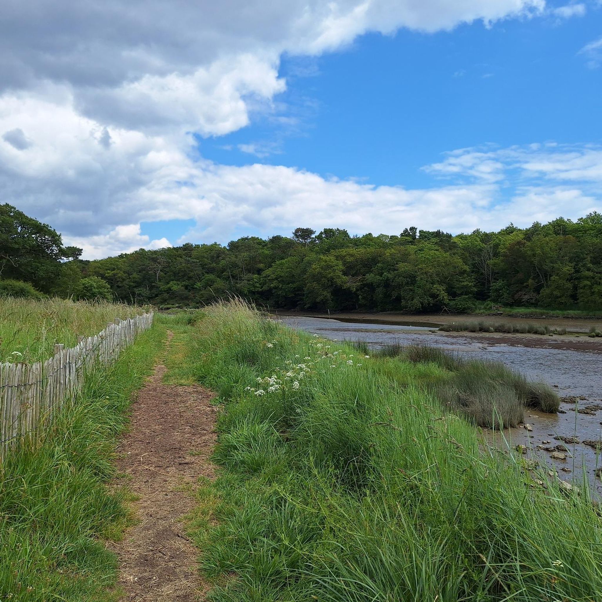
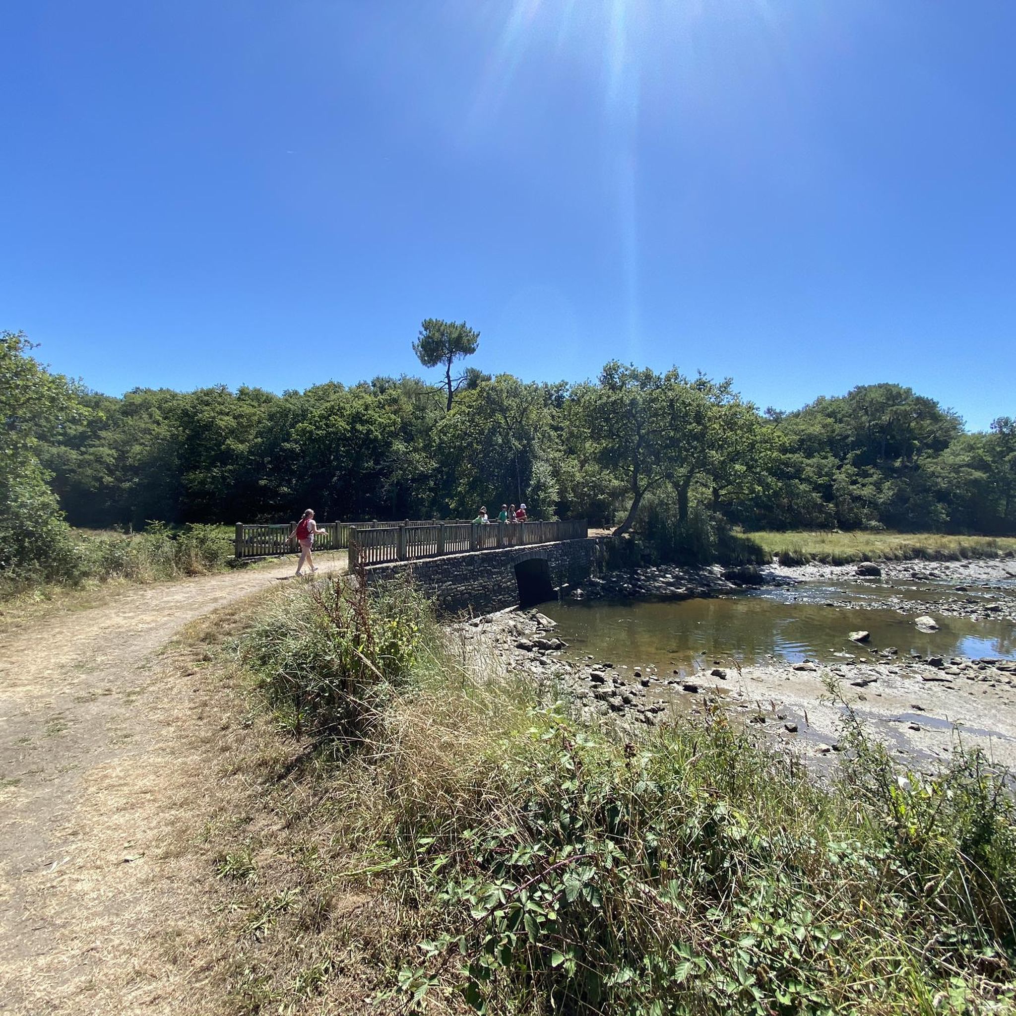

Tips from the Community

Indicated as a fountain on a nearby sign, it is more likely a wash house.
0
0

Magnificent walk through the woods and along the Ria d'Etel. We really enjoyed the return by the superb sunken paths. We highly recommend
0
0


The V8 greenway (Saint-Brieuc-Lorient) runs along the Blavet river for more than 100km, from the banks of Guerlédan to Hennebont. Between Saint-Aignan and Pontivy, it is shared with La Vélodyssée. The towpath which runs along the Blavet was laid out at the beginning of the 19th century and is lined with castles, fortifications and religious monuments, as well as flora and fauna. very rich.
0
0

Throughout the Loc'h, time is no longer short.
0
0

Very nice walk to do by bike or canoe ...
3
0

Nice canal boat B&B, they offer a good bed and breakfast experience if reserved in advance. They also offer afternoon boat tours and restaurant during the tourist season. https://www.aufildeleaubzh.com
3
0

Frequently Asked Questions
How many hiking trails are available around Brandérion?
Brandérion and its surrounding area offer a wide selection of routes, with over 140 hiking trails available. These range from easy strolls to more challenging treks, catering to various fitness levels.
What kind of landscapes can I expect to see while hiking around Brandérion?
Hiking around Brandérion offers a diverse range of landscapes. You'll find maritime charm along the Étel Estuary, tranquil paths around the Étang de Coëtrivas, and scenic routes through green countryside and woodlands. The region is known for its changing decor influenced by the tides and opportunities to explore islets.
Are there easy or beginner-friendly hikes in Brandérion?
Yes, Brandérion is well-suited for beginners and those looking for easier walks. There are over 50 easy routes available, many of which are up to 3 miles long with minimal elevation gain, perfect for a relaxed outing.
Can I find circular hiking routes in Brandérion?
Absolutely. Many of the hiking routes around Brandérion are designed as loops, allowing you to start and finish in the same location. For example, the Saint-Symphorien Fountain – Anne-Cécile Footbridge loop from Nostang is a popular circular option exploring the Étel Estuary.
Are the hiking trails around Brandérion suitable for families?
Yes, Brandérion offers many trails suitable for families. The diverse terrain includes easy paths that are accessible for all skill levels, making it possible to enjoy a pleasant walk with children. Look for routes with mostly paved surfaces or gentle gradients.
Are dogs allowed on the hiking trails in Brandérion?
Generally, dogs are welcome on many of the hiking trails around Brandérion, especially on public footpaths. However, it's always recommended to keep them on a leash, particularly in nature reserves or areas with livestock, and to check specific trail regulations if available.
What is the best time of year to go hiking in Brandérion?
Southern Brittany, where Brandérion is located, offers pleasant hiking conditions for much of the year. Spring and autumn provide mild temperatures and beautiful scenery, while summer is ideal for enjoying the coastal areas. Even winter hiking can be enjoyable, with fewer crowds and crisp air.
Are there any long-distance hiking options or coastal paths nearby?
Yes, Brandérion's location places it near sections of the renowned GR 34 Coastal Path, also known as the 'custom officers' path'. This extensive trail offers over 60 km of varied landscapes within the Lorient Bretagne Sud area, including historical and environmental sites.
What do other hikers enjoy most about the trails in Brandérion?
The trails around Brandérion are highly rated by the komoot community, with an average score of 4.6 stars from over 700 reviews. Hikers often praise the varied terrain, the scenic beauty of the Étel Estuary, and the well-maintained paths that cater to different abilities.
Are there any interesting landmarks or attractions to see near the hiking trails?
While hiking around Brandérion, you can explore several interesting landmarks. Notable attractions include the historic Haras National d'Hennebont, the impressive Pont du Bonhomme Towers, and the picturesque Along the Stér en Istrec. These sites offer cultural and natural points of interest to complement your hike.
Where can I find more information about the broader network of trails in the Lorient Bretagne Sud area?
The wider Lorient Bretagne Sud agglomeration, which includes Brandérion, boasts over thirty signposted circuits and more than 300 km of footpaths. For additional details and to explore the full range of hiking experiences in the region, you can visit the official tourism website: visit-lorient-brittany.com.
Are there any specific trails that offer views of the Anne-Cécile Footbridge?
Yes, the Anne-Cécile Footbridge is a notable feature within the Étel Estuary. You can experience it on routes like the Anne-Cécile Footbridge – Remoulin Bridge loop from Saint-Symphorien, which offers scenic views over the estuary.
Most popular routes around Brandérion
Most popular attractions around Brandérion

Get inspired with the komoot mobile app


Explore more
Browse the best Hikes in other regions.
