The best walks and hikes around Bussière-Galant
4.4
(262)
1,202
hikers
82
hikes
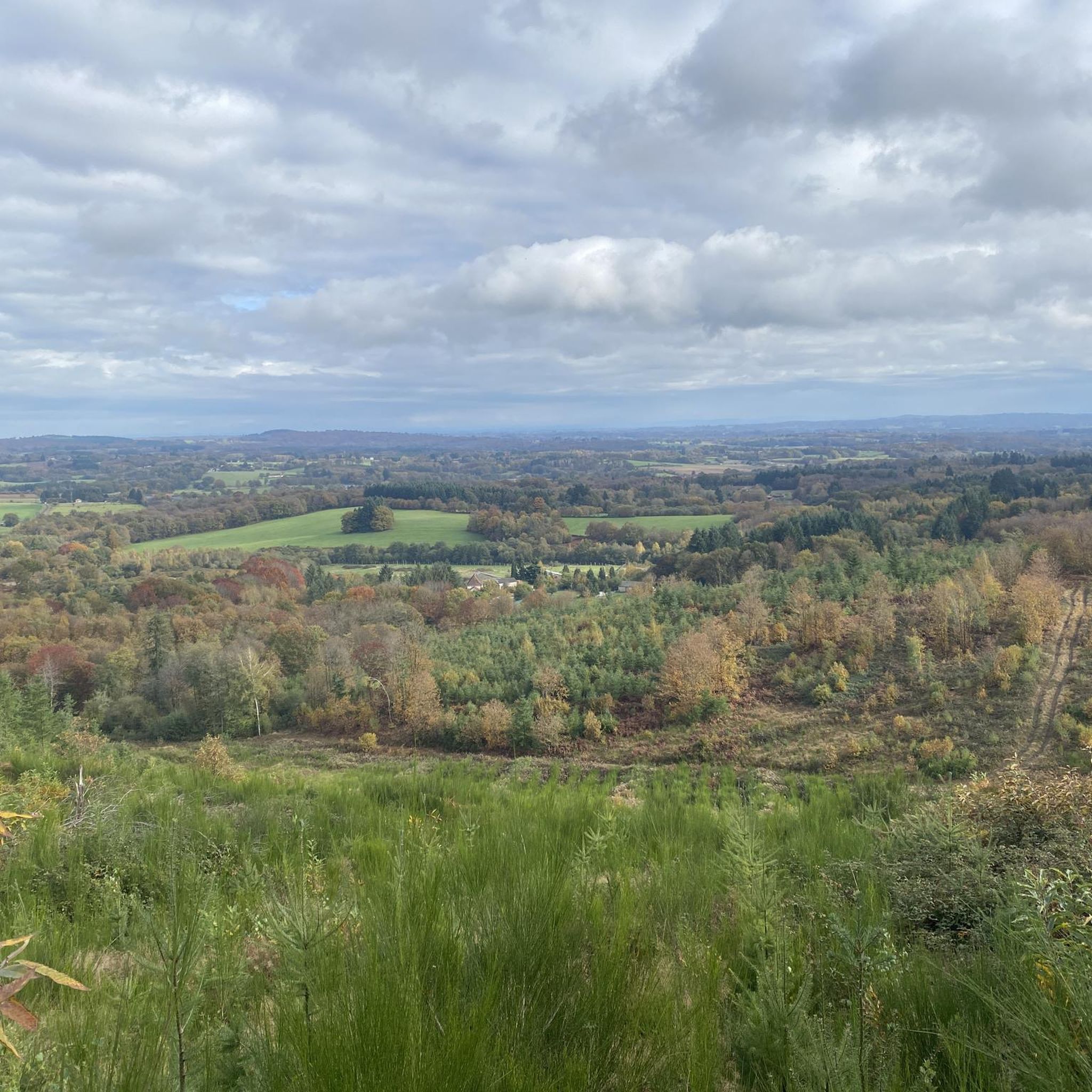
Hiking around Bussière-Galant offers diverse landscapes within the Regional Natural Park Périgord-Limousin. The area is characterized by extensive forests, such as those of Vieillecour and Cars, alongside unique moorlands and wetlands. Picturesque water bodies like Étang de la Barde and Saint-Estèphe Pond are also present. The commune's location within the Monts de Châlus provides varying terrains and elevated viewpoints.
Best hiking trails around Bussière-Galant
- The most popular hiking route is Courbefy fountains – Old Watermill by the Pond loop from…
Last updated: July 9, 2026
4.8
(8)
41
hikers
9.98km
02:49
210m
210m
Moderate hike. Good fitness required. Easily-accessible paths. Suitable for all skill levels.
4.8
(8)
40
hikers
Moderate hike. Good fitness required. Easily-accessible paths. Suitable for all skill levels.

Sign up for free
4.6
(7)
22
hikers
Moderate hike. Good fitness required. Easily-accessible paths. Suitable for all skill levels.
4.3
(6)
20
hikers
9.05km
02:25
100m
100m
Moderate hike. Good fitness required. Easily-accessible paths. Suitable for all skill levels.
5.0
(2)
9
hikers
4.00km
01:09
90m
100m
Easy hike. Great for any fitness level. Easily-accessible paths. Suitable for all skill levels.
Get access to more routes and recommendations from other explorers.
Sign up for free
Already have an account?
Our route recommendations are based on thousands of hikes, rides, and runs completed by other people on komoot.
Start today with a free account
Your next adventure awaits.
Login or Signup

Tips from the Community

A very nice hike with some muddy sections.
0
0


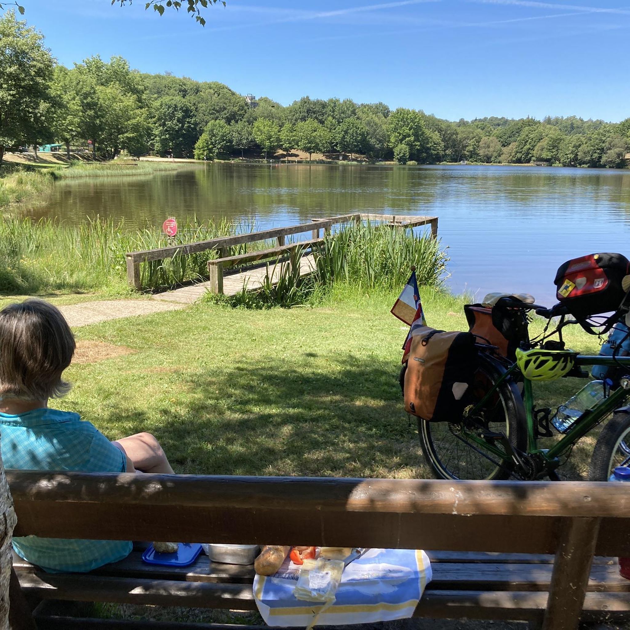
Just a nice spot: peace, view over the lake and woods. The water mill is not much to see
0
0
Frequently Asked Questions
How many hiking trails are available around Bussière-Galant?
There are over 80 hiking routes available around Bussière-Galant, catering to various skill levels. You'll find a good mix of easy strolls and more challenging treks through the diverse landscapes of the Regional Natural Park Périgord-Limousin.
Are there any easy or family-friendly hiking options in the area?
Yes, Bussière-Galant offers numerous easy trails suitable for families. For instance, the Lastours loop from Lastours is an easy 4 km route. The area's extensive forests and gentle paths make for pleasant walks, and the Espace Hermeline nearby also provides additional outdoor activities for all ages.
What kind of terrain can I expect on the hiking trails?
The terrain around Bussière-Galant is quite varied. You'll encounter extensive forests, unique moorlands, and wetlands, especially along interpretation trails like the 'Sentier des bergères'. Many routes also feature picturesque water bodies such as Étang de la Barde and the source of the River Dronne. The region is situated within the Monts de Châlus, offering some elevated viewpoints and rolling hills.
Are there any circular hiking routes?
Yes, many of the trails around Bussière-Galant are circular, allowing you to start and end at the same point. A popular moderate option is the Courbefy fountains – Old Watermill by the Pond loop from La Jaurie, which covers about 10 km through forest paths and past water features.
Can I bring my dog on the hiking trails?
Most natural areas in France, including the Regional Natural Park Périgord-Limousin, are generally dog-friendly, though it's always recommended to keep dogs on a leash to protect local wildlife and ensure the comfort of other hikers. There are no specific restrictions mentioned for Bussière-Galant's trails, but always be mindful of local signage.
What are some notable landmarks or viewpoints I can see while hiking?
The region offers several points of interest. You can explore historical sites like Église de l'Assomption and Moines du Chalard cemetery. For scenic views, the area around Monts de Châlus provides elevated perspectives. The St. James – Châlus Castle loop from Châlus specifically leads through varied terrain with historical landmarks, including the castle itself.
Are there any trails that feature water bodies or waterfalls?
While large waterfalls are not a prominent feature, many trails incorporate beautiful water bodies. You can find routes that lead to the source of the River Dronne, pass by Étang de la Barde, or feature old watermills and fountains. The Old Watermill by the Pond – Courbefy fountains loop from Saint-Nicolas-Courbefy is a great example, exploring these picturesque water features.
What is the best time of year to go hiking in Bussière-Galant?
Bussière-Galant is enjoyable for hiking across multiple seasons. Spring and autumn offer pleasant temperatures and vibrant natural colors, with spring bringing lush greenery and autumn showcasing rich foliage. Summer provides shaded forest trails, ideal for escaping the heat, while winter can offer crisp, quiet walks, though some paths might be muddy.
Is public transport available to reach trailheads, or is parking common?
While specific public transport links directly to all trailheads might be limited, Bussière-Galant is accessible by train. For detailed information on reaching specific trailheads, it's generally advisable to check local transport options or plan for parking, which is typically available near popular starting points in villages or designated areas.
What do other hikers say about the trails in Bussière-Galant?
The hiking routes in Bussière-Galant are highly rated by the komoot community, with an average score of 4.3 stars from over 200 reviews. Hikers often praise the quiet woodlands, the diverse landscapes including moorlands and wetlands, and the well-maintained paths that offer a deep connection with nature.
Are there any shorter, easy walks for a quick outing?
Yes, for a shorter and easier walk, consider the St. James loop from Châlus. This route is approximately 4.5 km and is rated as easy, making it perfect for a quick and refreshing outdoor experience without a significant time commitment.
Most popular attractions around Bussière-Galant

Get inspired with the komoot mobile app


Explore more
Browse the best Hikes in other regions.
