The best walks and hikes around Villard-D'Héry
4.5
(379)
4,773
hikers
141
hikes
Hiking around Villard-D'Héry, located in the Savoie department of the Auvergne-Rhône-Alpes region, offers diverse landscapes for outdoor activities. The region's hiking terrain is characterized by mountainous areas, dense forests, and alpine pastures, providing panoramic views of the surrounding Bauges and Belledonne mountain ranges. Altitudes in the commune range from 267 meters to 736 meters, with access to the Massif des Bauges Regional Natural Park, known for its cliffs and varied flora. This area provides numerous landmarks and viewpoints for hikers…
Last updated: May 20, 2026
4.8
(8)
66
hikers
13.1km
06:21
1,010m
1,010m
Hard hike. Very good fitness required. Mostly accessible paths. Sure-footedness required.
5.0
(1)
27
hikers
2.29km
00:35
10m
10m
Easy hike. Great for any fitness level. Easily-accessible paths. Suitable for all skill levels.

Sign up for free
4.8
(4)
26
hikers
7.30km
02:23
210m
210m
Moderate hike. Good fitness required. Mostly accessible paths. Sure-footedness required.
7
hikers
10.00km
03:25
470m
470m
Moderate hike. Good fitness required. Mostly accessible paths. Sure-footedness required.
4.0
(1)
14
hikers
11.1km
03:44
480m
480m
Moderate hike. Good fitness required. Mostly accessible paths. Sure-footedness required.
Get access to more routes and recommendations from other explorers.
Sign up for free
Already have an account?
Our route recommendations are based on thousands of hikes, rides, and runs completed by other people on komoot.
Start today with a free account
Your next adventure awaits.
Login or Signup
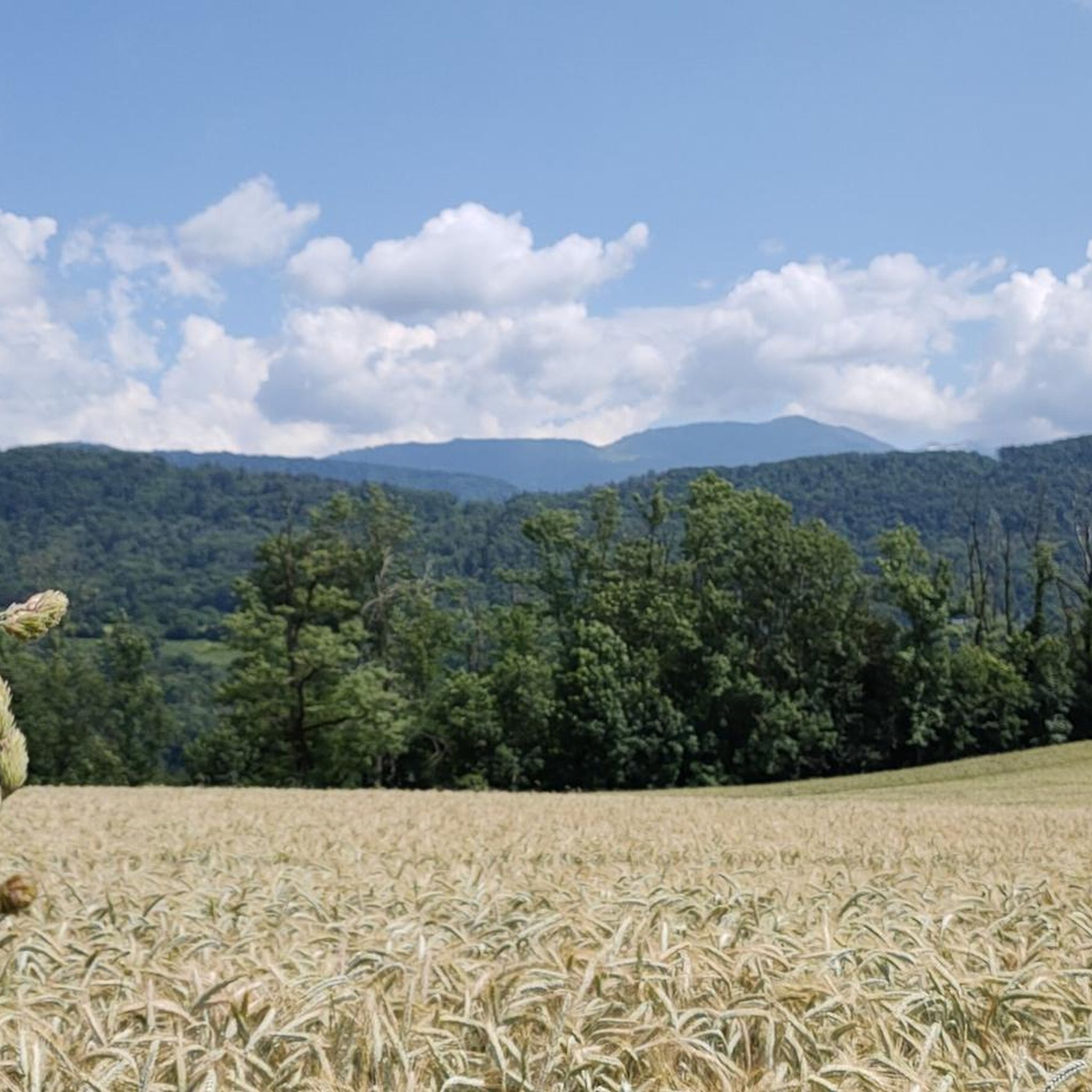

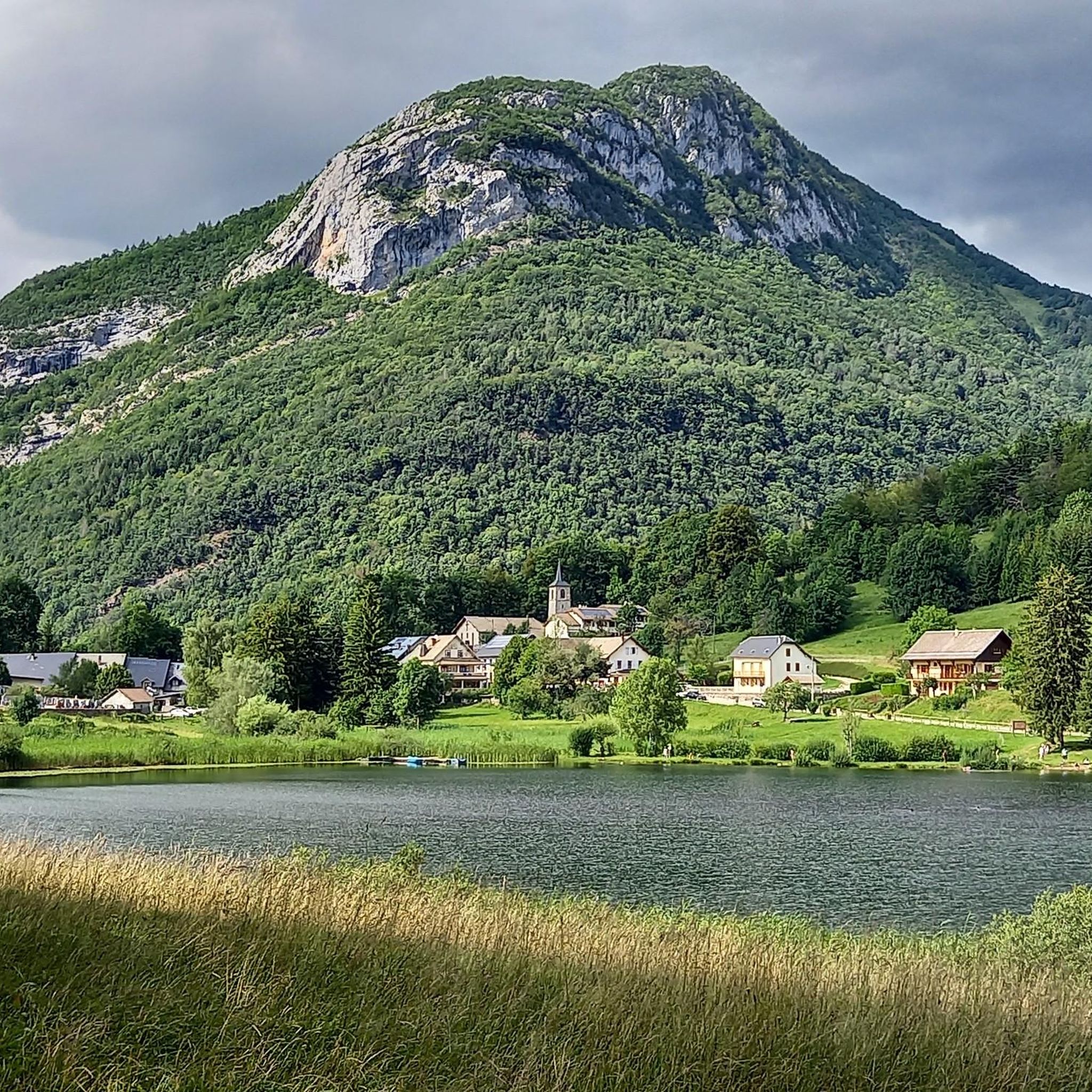


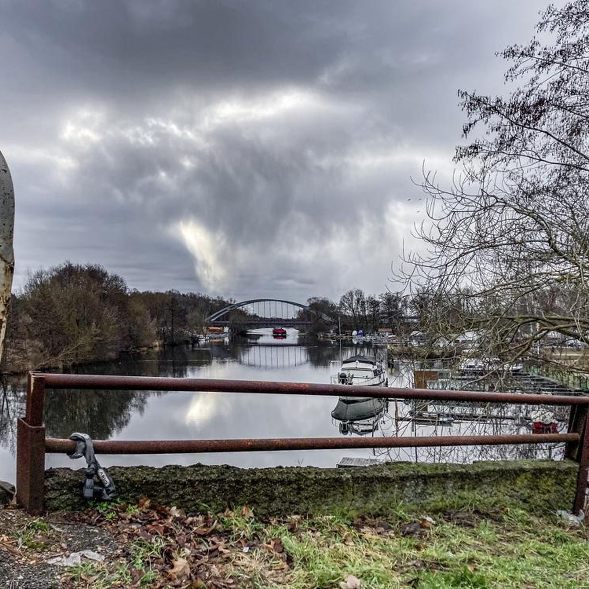
Tips from the Community

just magnificent, keep it secret or almost....
0
0


The Col de Cochette from La Trinité is 2.99 km long with a total drop of 237 m. The average gradient is 7.9% with maximum gradients of 10%. From Villard-d'Héry, it is 1.89 km with an average gradient of 7.8%. There is a total drop of 148m.
2
0

Point of view not easy to access for everyone but very nice!
1
0

The trip there is not always easy. We did it with 3 kids (age 3, 5 and 7). The view at the top is really amazing!
1
0
Frequently Asked Questions
What kind of terrain can I expect on hikes around Villard-D'Héry?
The hiking trails around Villard-D'Héry are characterized by diverse mountainous terrain. You'll find paths winding through dense forests, across alpine pastures, and offering panoramic views of the surrounding Bauges and Belledonne mountain ranges. The commune itself is situated on the Montraillant hill, with altitudes ranging from 267 to 736 meters, providing a varied landscape for exploration.
Are there any easy, family-friendly hiking options in Villard-D'Héry?
Yes, Villard-D'Héry offers several easy routes suitable for families. For instance, the Lake Carouge loop from Châteauneuf is an easy 2.3 km trail with minimal elevation gain, perfect for a leisurely walk. In total, there are 24 easy routes available, providing gentle options for all ages.
What are some notable landmarks or scenic viewpoints to discover while hiking?
The region around Villard-D'Héry is rich in scenic viewpoints and natural features. You can enjoy panoramic views of the Bauges and Belledonne mountain ranges from many trails. The Col de Cochette (587 m) – Tower loop from Villard-d'Héry offers views from the Col de Cochette. Additionally, the area is close to the Marocaz Pass and Col du Frêne (950 m), which are popular mountain passes offering impressive vistas.
Are there any circular hiking routes available directly from Villard-D'Héry?
Yes, there are several circular routes. A popular option is the Col de Cochette (587 m) – Tower loop from Villard-d'Héry, which starts and ends near the village. This moderate 7.3 km trail takes approximately 2 hours 23 minutes to complete and offers scenic views.
What is the best time of year to go hiking in Villard-D'Héry?
The best time for hiking in Villard-D'Héry is generally from spring through autumn, when the weather is mild and the trails are clear. During these seasons, you can fully enjoy the diverse landscapes, from lush forests to alpine pastures, and take in the panoramic views of the surrounding mountain ranges. While winter hiking is possible, some higher-altitude trails may be challenging due to snow and ice.
How many hiking trails are there in total around Villard-D'Héry?
There are over 130 hiking trails available around Villard-D'Héry. This includes a wide range of difficulties, with 24 easy routes, 90 moderate routes, and 25 difficult trails, ensuring options for every skill level and preference.
What do other hikers say about the trails in Villard-D'Héry?
The trails in Villard-D'Héry are highly regarded by the komoot community, with an average rating of 4.5 stars from over 390 reviews. Hikers frequently praise the varied terrain, the stunning panoramic views of the Bauges and Belledonne mountain ranges, and the well-maintained paths that cater to different ability levels.
Are there any challenging hikes for experienced trekkers?
Absolutely. For experienced trekkers seeking a challenge, there are 25 difficult routes available. One such demanding trail is the Pierre Besse – Col du Potat loop from Saint-Pierre-d'Albigny. This difficult 22.5 km path features a significant elevation gain of over 1600 meters, traversing mountainous terrain and offering a strenuous but rewarding experience.
Is public transport available to reach hiking starting points in Villard-D'Héry?
While Villard-D'Héry is a charming commune, public transport options directly to all hiking starting points might be limited. It is advisable to check local bus schedules or consider driving to access the wider network of trails, especially those further from the village center. Some popular routes, like the Col de Cochette (587 m) – Tower loop from Villard-d'Héry, are accessible directly from the village.
Are there any historical sites or castles to see near the hiking trails?
Yes, the region has historical points of interest. The 'Tours de Montmayeur' is a short hike between the Bauges and Belledonne mountain ranges that leads to the restored ruins of the Montmayeur castle. Additionally, the Fort Montgilbert is another historical site that can be explored in the vicinity.
Can I find accommodation or places to eat near the hiking areas?
Villard-D'Héry and its surrounding villages offer various options for accommodation and dining. While specific cafes or pubs might not be directly on every trail, you'll find establishments in the commune itself and nearby towns where you can refuel and rest after your hike. It's recommended to check local listings for current availability.
What kind of natural features define the hiking experience in this region?
The hiking experience in Villard-D'Héry is defined by its location near the Massif des Bauges Regional Natural Park, offering a 'charming group of cliffs, forests, and alpine pastures.' You'll encounter diverse landscapes, from the lower altitudes of the Val Coisin to higher mountain passes, all set against the backdrop of the impressive Bauges and Belledonne mountain ranges.
Most popular routes around Villard-D'Héry
Most popular attractions around Villard-D'Héry

Get inspired with the komoot mobile app


Explore more
Browse the best Hikes in other regions.
