The best running trails around La Rochette
4.4
(19)
951
runners
300
runs
Jogging routes around La Rochette are characterized by a diverse, often mountainous terrain in the Savoie region of France. The area features mountain streams, waterfalls, and rich vegetation, providing varied landscapes for running. With an average elevation of 435 meters and a maximum of 784 meters, the region offers varying inclines suitable for different levels of jogging intensity. Runners can explore wooded areas and scenic vistas throughout the routes.
Best jogging routes around La Rochette
- The most popular jogging route…
Last updated: May 20, 2026
4.0
(1)
22
runners
Hard run. Very good fitness required. Sure-footedness, sturdy shoes and alpine experience required.
20
runners
9.35km
01:11
340m
340m
Hard run. Very good fitness required. Sure-footedness, sturdy shoes and alpine experience required.

Sign up for free
19
runners
Moderate run. Good fitness required. Mostly paved surfaces. Suitable for all skill levels.
7
runners
9.40km
01:02
70m
70m
Moderate run. Good fitness required. Mostly paved surfaces. Suitable for all skill levels.
3.0
(1)
12
runners
9.44km
00:59
80m
80m
Moderate run. Good fitness required. Mostly paved surfaces. Suitable for all skill levels.
Get access to more routes and recommendations from other explorers.
Sign up for free
Already have an account?
Our route recommendations are based on thousands of hikes, rides, and runs completed by other people on komoot.
Start today with a free account
Your next adventure awaits.
Login or Signup


Tips from the Community

just magnificent, keep it secret or almost....
0
0

It is a surprise to arrive at this vertical rock face, the quarry, with the clear view on the left, dominating Detrier below and the Moutaret further to the left. It is a beautiful little valley that can only be seen from above. From there, a hiking trail leads to the chapel of Ste Marguerite before going back down to Arvillard on the other side of Mont Pézard.
0
0

Le Bar des Alpes is a perfect place for a coffee break in La Rochette. At lunchtime, there is a generous menu!
0
0

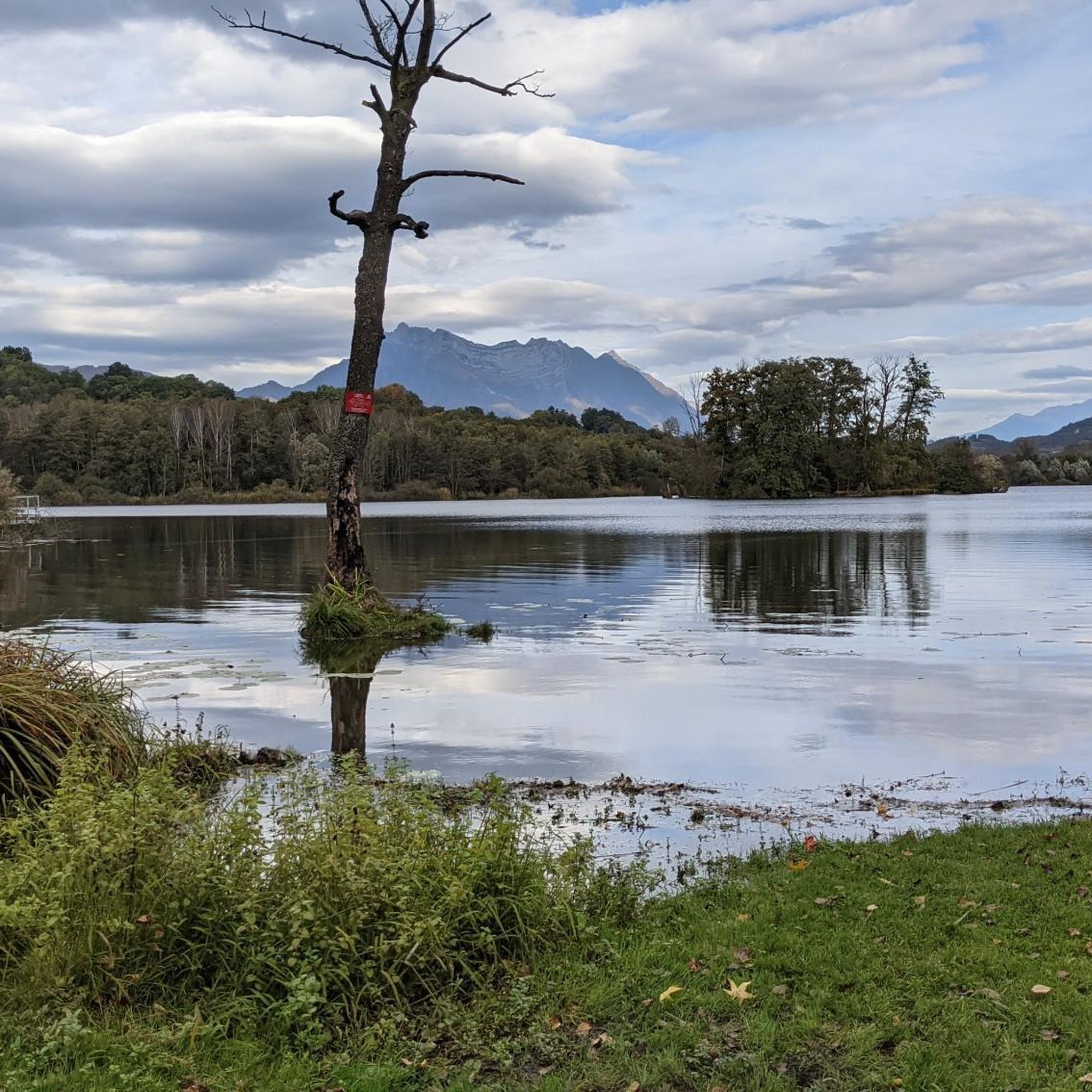
Lac Saint Clair is a small lake just outside La Rochette. There are plenty of places to have a picnic and enjoy the lake during the summer months.
1
0
The Col de Cochette from La Trinité is 2.99 km long with a total drop of 237 m. The average gradient is 7.9% with maximum gradients of 10%. From Villard-d'Héry, it is 1.89 km with an average gradient of 7.8%. There is a total drop of 148m.
2
0
Frequently Asked Questions
How many running routes are available in La Rochette?
There are over 15 dedicated running routes around La Rochette, offering a variety of experiences for different skill levels. These routes are highly rated by the komoot community, with an average score of 4.4 stars.
Are there running routes suitable for beginners in La Rochette?
Yes, La Rochette offers several moderate and easy running routes perfect for beginners or those looking for a less strenuous run. For example, the Lake Saint Clair – Bar des Alpes loop from La Croix-de-la-Rochette is a moderate 6.8 km path with scenic views and manageable elevation changes.
What kind of terrain can I expect on the running trails in La Rochette?
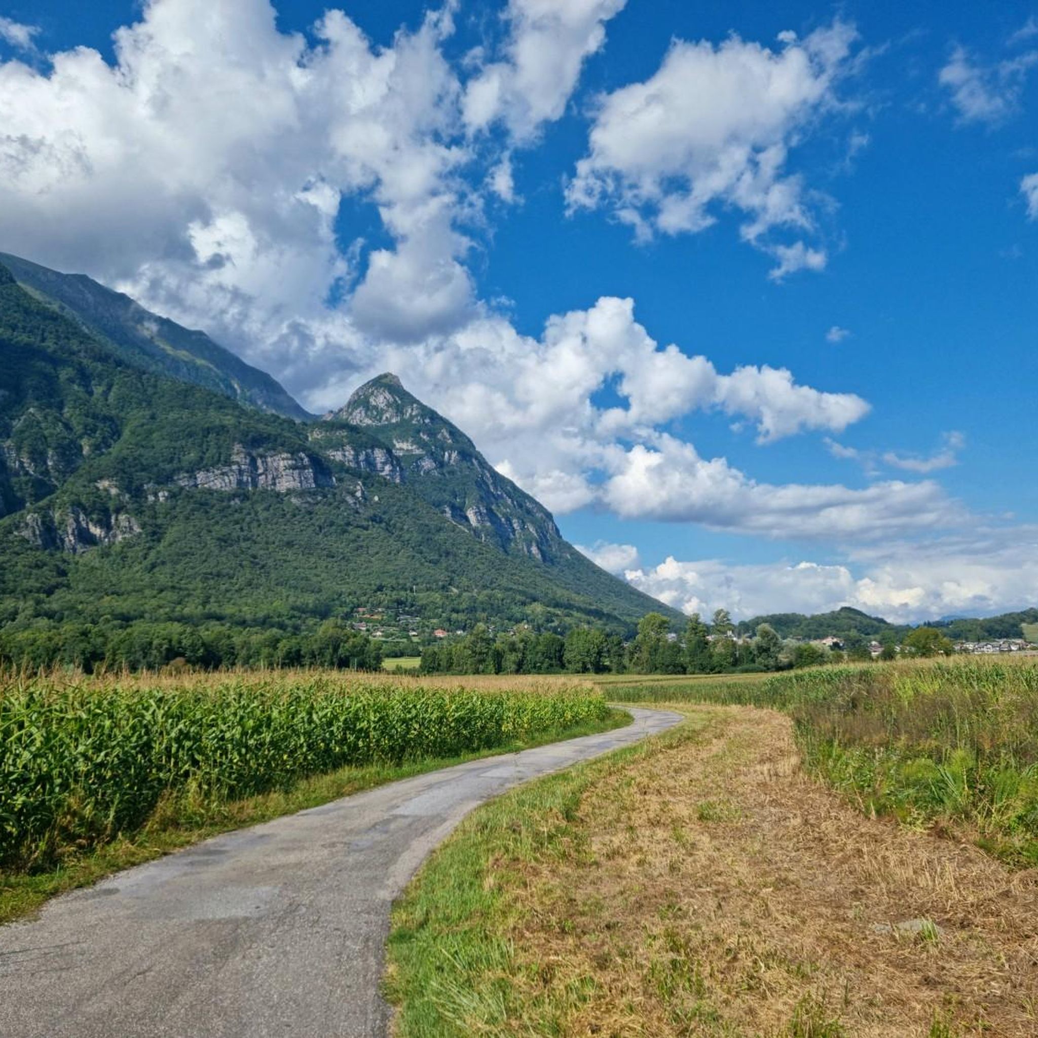
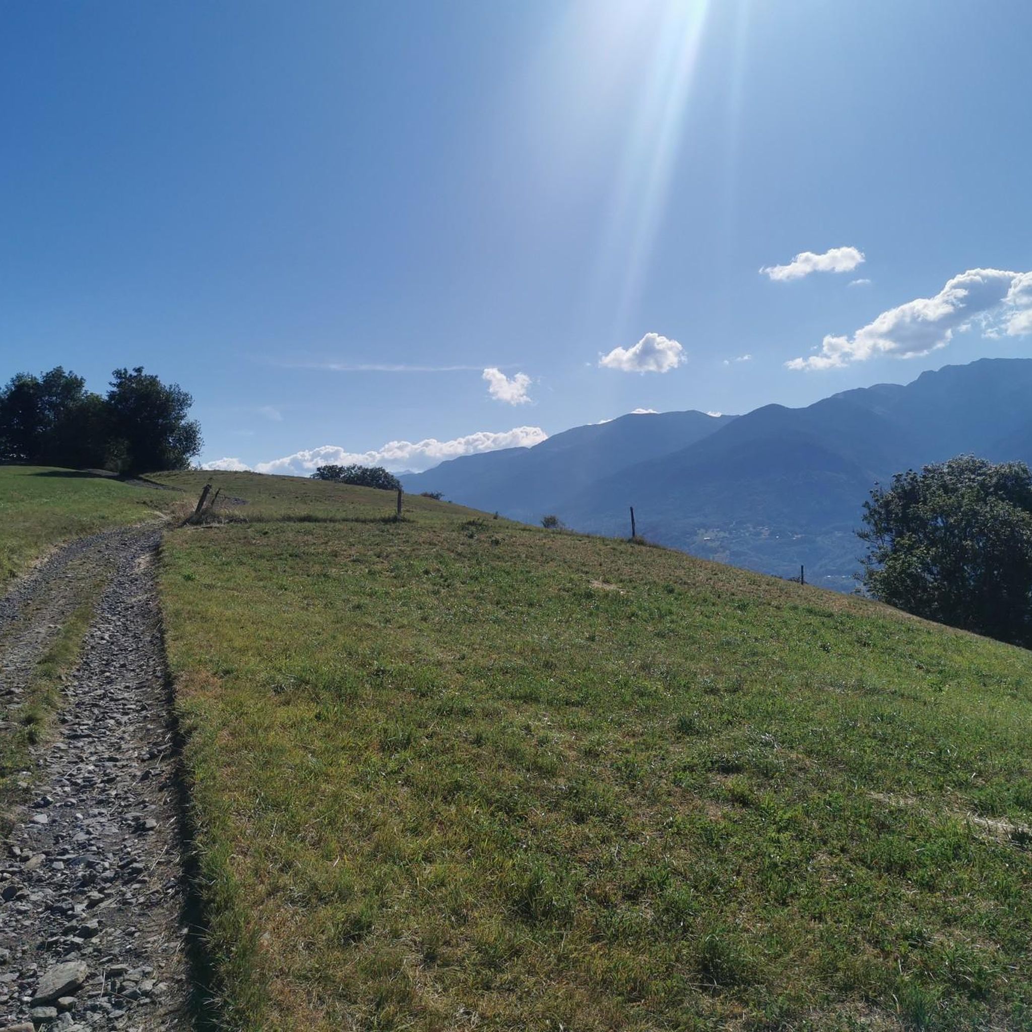
The running trails in La Rochette, particularly in the Savoie region, feature diverse and often mountainous terrain. You can expect to encounter mountain streams, rich vegetation, and varying inclines, with elevations ranging from an average of 435 meters to a maximum of 784 meters. Many routes wind through wooded areas and offer scenic vistas.
Are there any challenging running routes for experienced runners?
Absolutely. For experienced runners seeking a challenge, La Rochette has several difficult routes with significant elevation gain. The La carrière loop from La Rochette is a difficult 9.3 km trail with over 339 meters of ascent, while the Étang d'Arvillard loop from La Croix-de-la-Rochette is a demanding 23.25 km route with over 1500 meters of elevation gain.
What natural attractions can I see along the running routes?
Many running routes in La Rochette pass by beautiful natural attractions. You can enjoy views of several lakes, such as Lake Saint-André, Lac de Sainte Hélène, and Lac de la Thuile. There are also stunning viewpoints like the View of Lake Saint-André and the Belledonne Range, offering picturesque scenery during your run.
Are there any circular running routes in La Rochette?
Yes, many of the running routes in La Rochette are circular, allowing you to start and finish at the same point. Examples include the Running loop from La Croix-de-la-Rochette, which takes you through wooded areas and open landscapes, and the Bar des Alpes – Lake Saint Clair loop from Détrier.
What do other runners enjoy most about jogging in La Rochette?
The running routes in La Rochette are highly rated by the komoot community, with an average score of 4.4 stars from over 17 reviews. Runners often praise the diverse and scenic landscapes, including the mountainous terrain, wooded valleys, and beautiful streams, which provide a varied and engaging experience.
Is La Rochette suitable for trail running with dogs?
While specific dog-friendly regulations can vary, the natural environment of La Rochette, with its extensive forests and varied trails, generally offers good opportunities for trail running with dogs. It's always advisable to keep dogs on a leash, especially in areas with wildlife or near agricultural land, and to check local signage for any specific restrictions.
Are there any running routes that pass by waterfalls?
The Savoie region around La Rochette is characterized by mountain streams and rich vegetation, which often includes waterfalls. While specific routes are not highlighted for waterfalls, the general mountainous and water-rich environment suggests that you may encounter beautiful cascades, especially after rainfall or during spring thaws, along many of the trails.
What is the best time of year to go running in La Rochette?
The best time to go running in La Rochette largely depends on your preference. Spring and autumn offer pleasant temperatures and vibrant scenery, with lush greenery or colorful foliage. Summer is also popular, though some higher elevation trails might be warmer. Winter running is possible, but be prepared for colder temperatures and potentially snowy or icy conditions on some paths, especially at higher altitudes.
Are there any running routes with easy access to parking?
Many running routes in La Rochette are designed with convenient access points, often near villages or natural areas where parking is available. For routes starting from towns like La Rochette or La Croix-de-la-Rochette, you can typically find parking facilities nearby, making it easy to begin your run.
Most popular routes around La Rochette
Most popular attractions around La Rochette

Get inspired with the komoot mobile app


Explore more
Browse the best Running Trails & Routes in other regions.
