The best MTB trails around Diesen
4.6
(861)
2,779
riders
318
rides
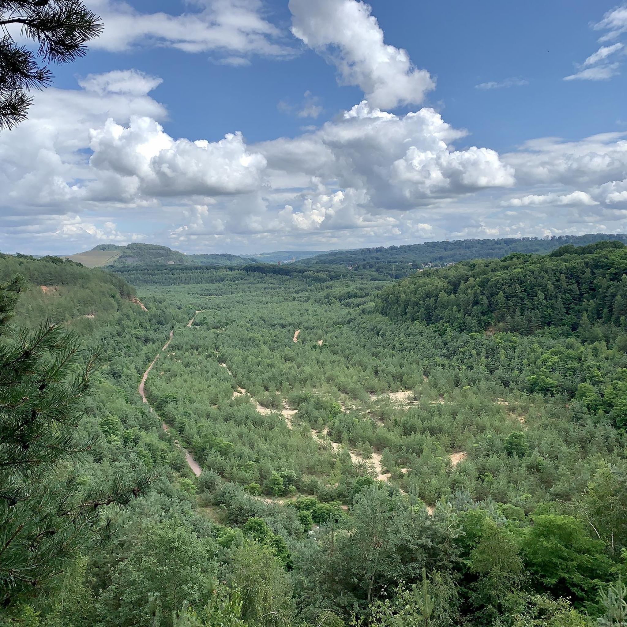
Mountain biking around Diesen offers a diverse landscape characterized by dense forests, rolling hills, and a network of trails that traverse both natural and historical sites. The region features varied terrain, from gentle paths suitable for beginners to more challenging ascents and descents. Numerous lakes and former quarry areas add to the scenic variety, providing distinct points of interest along the routes.
Best mountain bike trails around Diesen
- The most popular mountain bike trail is St. Nicholas Pond – View…
Last updated: May 24, 2026
3.9
(8)
44
riders
43.3km
03:58
650m
650m
Moderate mountain bike ride. Good fitness required. Suitable for all skill levels.
4.5
(2)
31
riders
34.0km
02:50
510m
510m
Moderate mountain bike ride. Good fitness required. Advanced riding skills necessary.

Sign up for free
4.5
(11)
28
riders
21.1km
01:37
160m
160m
Easy mountain bike ride. Great for any fitness level. Suitable for all skill levels.
4.8
(12)
25
riders
39.2km
03:07
440m
440m
Moderate mountain bike ride. Good fitness required. Advanced riding skills necessary.
4.4
(9)
12
riders
25.6km
02:08
270m
270m
Moderate mountain bike ride. Good fitness required. Suitable for all skill levels.
Get access to more routes and recommendations from other explorers.
Sign up for free
Already have an account?
Our route recommendations are based on thousands of hikes, rides, and runs completed by other people on komoot.
Start today with a free account
Your next adventure awaits.
Login or Signup
Tips from the Community


A popular vantage point and landmark of the municipality of Überherrn is the monument 'For the Great Europeans'
1
0

A beautiful zoo that is very spacious. So large that not every enclosure had an animal to see. But that shows me that the animals also have places to retreat to, so that is a positive thing
0
0

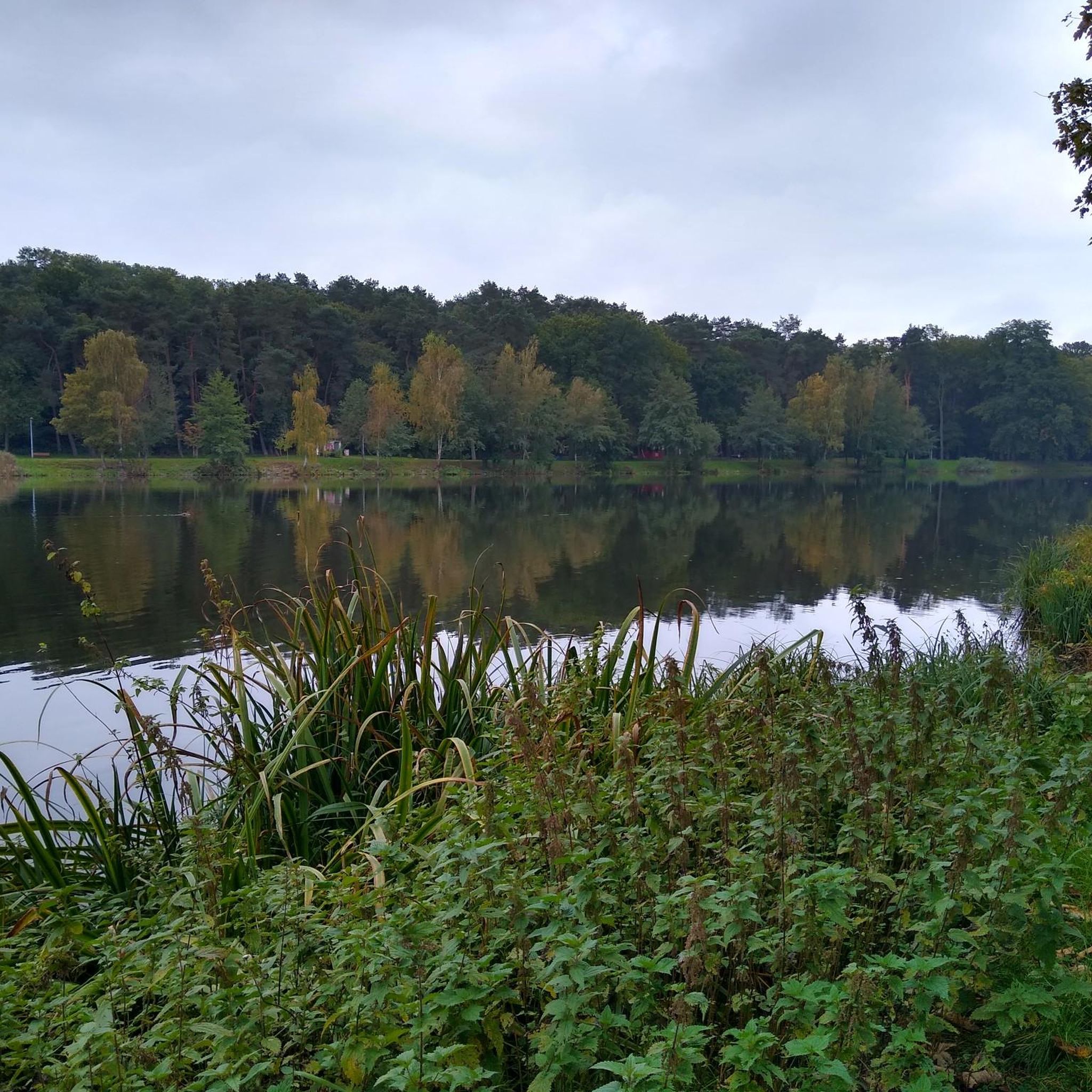
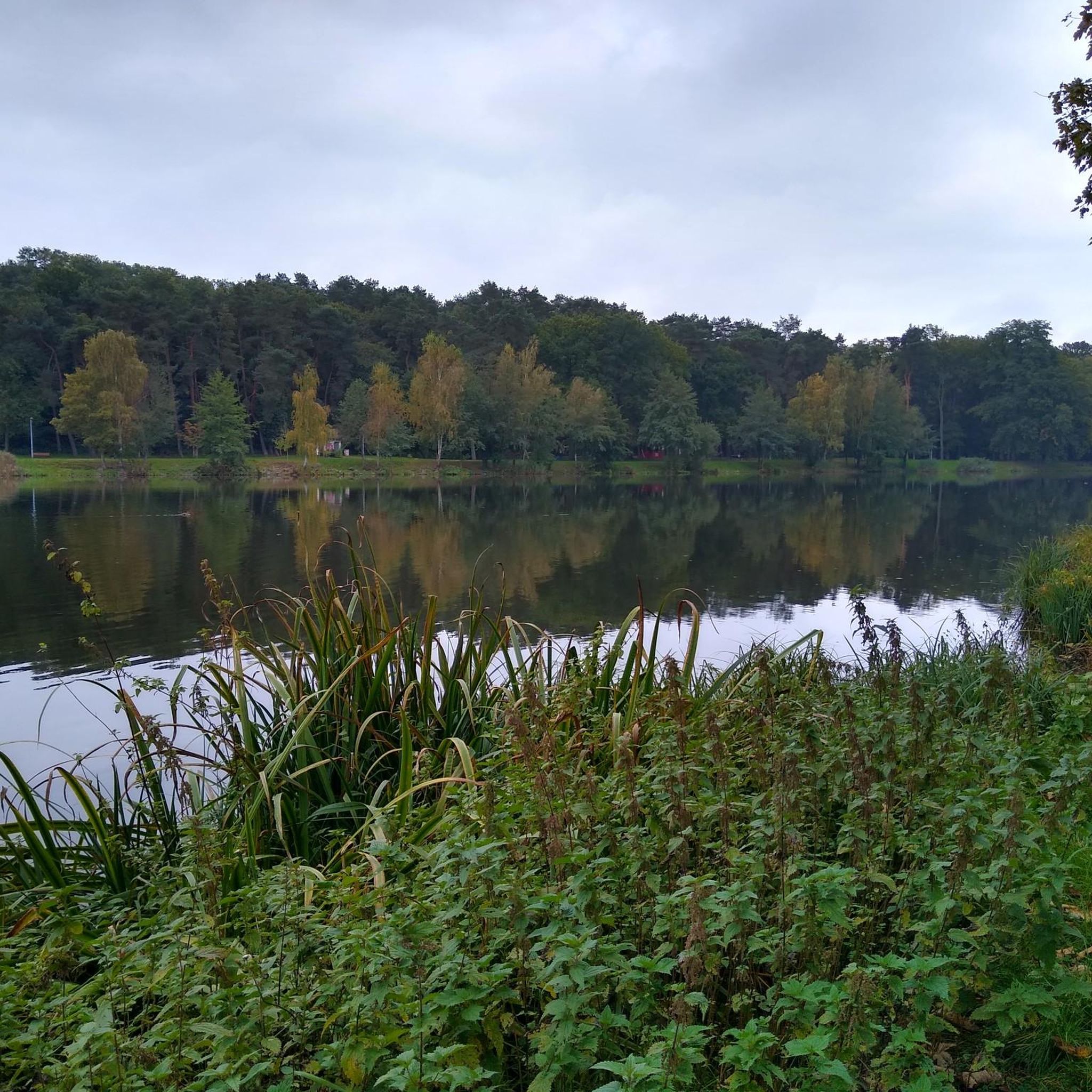
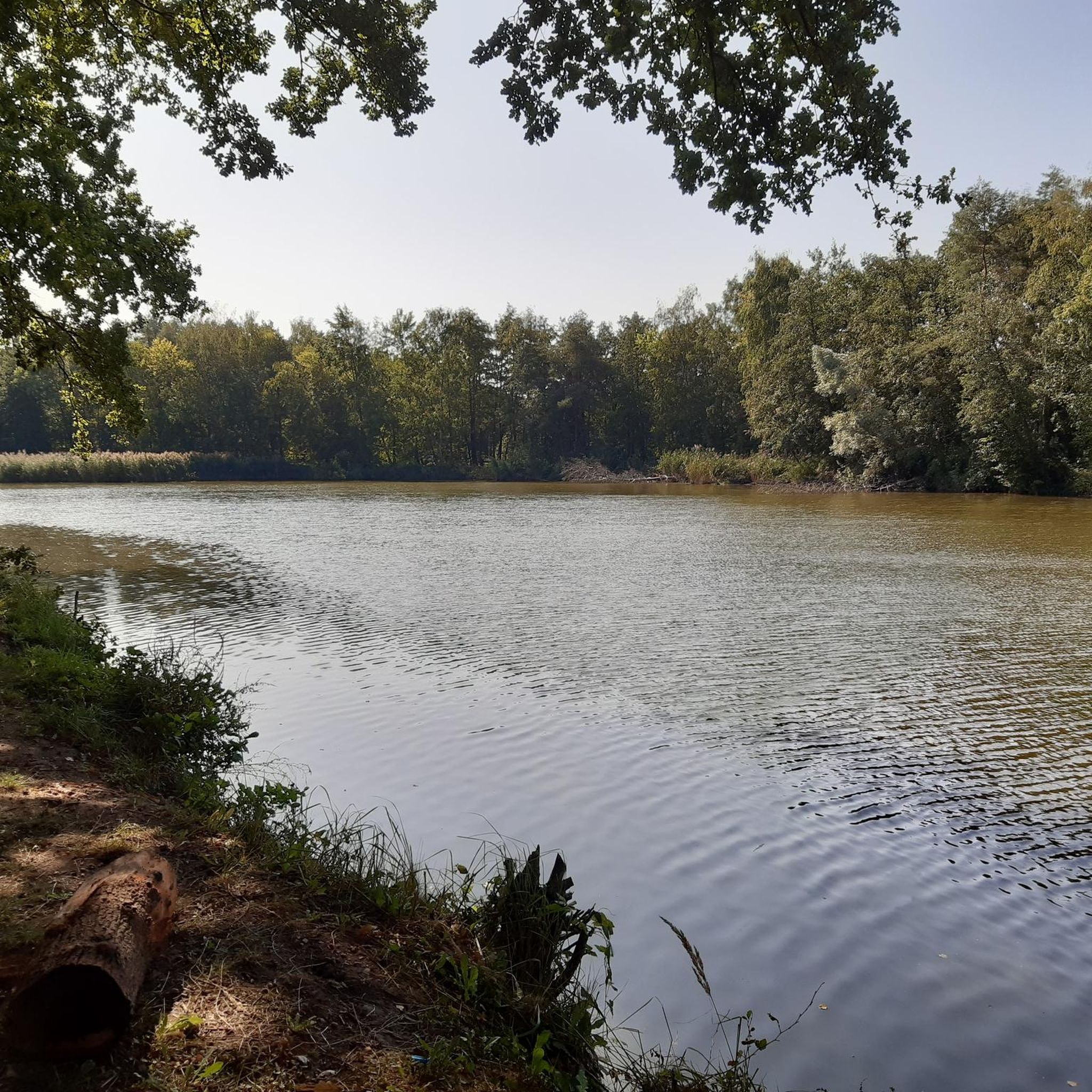
The Bisten is a charming river that widens at this point to offer a beautiful view of a body of water in the middle of the woods.
0
0
The route allows you to access the source of the Halberg by following the markings. A good spot to cool off.
0
0
The Hussards hill is a beautiful place for mountain biking. Several circuits are available at its entrance.
0
0

Inaugurated in May 1970, this monument is intended to "express the European-democratic attitude of the border population on both sides of the border." The two pylons represent the countries of Germany and France, which have been at war with each other for centuries. The metal bars in the upper area symbolize the friendship that developed after the Second World War.
0
0

Lots of nettles and thorns, but still OK
1
0
Frequently Asked Questions
How many mountain bike trails are available around Diesen?
There are over 300 mountain bike routes available around Diesen on komoot, offering a wide variety of terrain and experiences for all skill levels.
Are there mountain bike trails suitable for beginners in Diesen?
Yes, Diesen offers a good selection of trails for beginners. You'll find over 60 easy routes, such as the Warndt Forest – Warndtweiher loop from Lauterbach, which is an easy 13.1 miles (21.1 km) path winding through the Warndt Forest and past the Warndtweiher lake.
What options are there for experienced mountain bikers in Diesen?
Experienced mountain bikers can explore over 40 difficult routes in Diesen. These trails often feature significant elevation changes and more technical sections. For a challenging moderate ride, consider the St. Nicholas Pond – View of the Zang Quarry loop from Diesen, a 28.1 miles (45.2 km) trail with over 700 meters of elevation gain.
Are there any loop mountain bike trails around Diesen?
Many of the mountain bike trails in Diesen are designed as loops, allowing you to start and end at the same point. Examples include the Europe Monument, Berus – Bunker Trail loop from Lauterbach, a 24.3 miles (39.2 km) route, and the Grenzland Trail – Lake Bisten loop from Creutzwald, which is a longer 29.7 miles (47.8 km) ride.
When is the best time of year to go mountain biking in Diesen?
The diverse landscape of Diesen, with its dense forests and rolling hills, makes it suitable for mountain biking from spring through autumn. The trails are generally well-maintained, but it's always a good idea to check local conditions, especially after heavy rain, as some forest paths can become muddy.
What can I see along the mountain bike trails in Diesen?
The trails around Diesen often pass by scenic and historical points of interest. You can encounter tranquil lakes like Warndtweiher, historical sites such as the Europe Monument, Berus, and various viewpoints like the Panoramic Platform at Barrois Quarry, offering great photo opportunities.
Are there mountain bike trails with good viewpoints in Diesen?
Yes, several routes offer excellent viewpoints. The St. Nicholas Pond – View of the Zang Quarry loop from Diesen provides views of the Zang Quarry. Additionally, the Panoramic Platform at Barrois Quarry is a notable highlight for scenic vistas.
What do other mountain bikers enjoy most about Diesen?
The mountain biking experience in Diesen is highly rated by the komoot community, with an average score of 4.5 stars from over 900 reviews. Riders often praise the varied terrain, the dense forests, and the mix of natural beauty with historical landmarks. The region's network of trails caters to different skill levels, making it appealing to a broad audience.
Are there any specific mountain bike parks or dedicated trails in the Diesen area?
While Diesen features a comprehensive network of natural trails, there are also dedicated areas for mountain biking. The Grenzland Trail is a well-known spot, and the region includes various singletracks and forest trails suitable for mountain biking, such as those found within the Warndt Forest.
What is the typical length of mountain bike trails in Diesen?
Mountain bike trails in Diesen vary significantly in length. You can find shorter, easy routes around 10-15 miles (16-24 km), while moderate and difficult trails can extend to 25-30 miles (40-48 km) or more. For example, the Route Forestière de Hollerloch – Altmeyer Flow Trail loop from Carling is a moderate 17.4 miles (28 km) ride.
Most popular attractions around Diesen

Get inspired with the komoot mobile app


Explore more
Browse the best MTB trails in other regions.
