The best road cycling routes around Dunningen
4.9
(8)
244
riders
45
rides
Road cycling routes around Dunningen are characterized by rolling hills and varied terrain at the eastern edge of Germany's Black Forest. The region features a mix of forests, meadows, and river valleys, including the Eschachtal, Brigach, and Breg rivers. Cyclists can expect well-maintained paths suitable for moderate rides, alongside more challenging sections with significant elevation changes. This diverse landscape offers both smooth road cycling and demanding ascents.
Best road cycling routes around Dunningen
- The most popular road cycling route is…
Last updated: July 5, 2026
4.0
(1)
20
riders
51.1km
02:07
360m
360m
Moderate road ride. Good fitness required. Mostly well-paved surfaces and easy to ride.
5.0
(2)
16
riders
45.8km
01:53
300m
300m
Easy road ride. Great for any fitness level. Mostly well-paved surfaces and easy to ride.

Sign up for free
10
riders
124km
05:26
1,050m
1,050m
Hard road ride. Very good fitness required. Mostly well-paved surfaces and easy to ride.
5.0
(1)
15
riders
120km
05:02
510m
510m
Hard road ride. Very good fitness required. Some segments of this route may be unpaved and difficult to ride.
8
riders
44.4km
01:52
330m
330m
Moderate road ride. Good fitness required. Mostly well-paved surfaces and easy to ride.
Get access to more routes and recommendations from other explorers.
Sign up for free
Already have an account?
Our route recommendations are based on thousands of hikes, rides, and runs completed by other people on komoot.
Start today with a free account
Your next adventure awaits.
Login or Signup

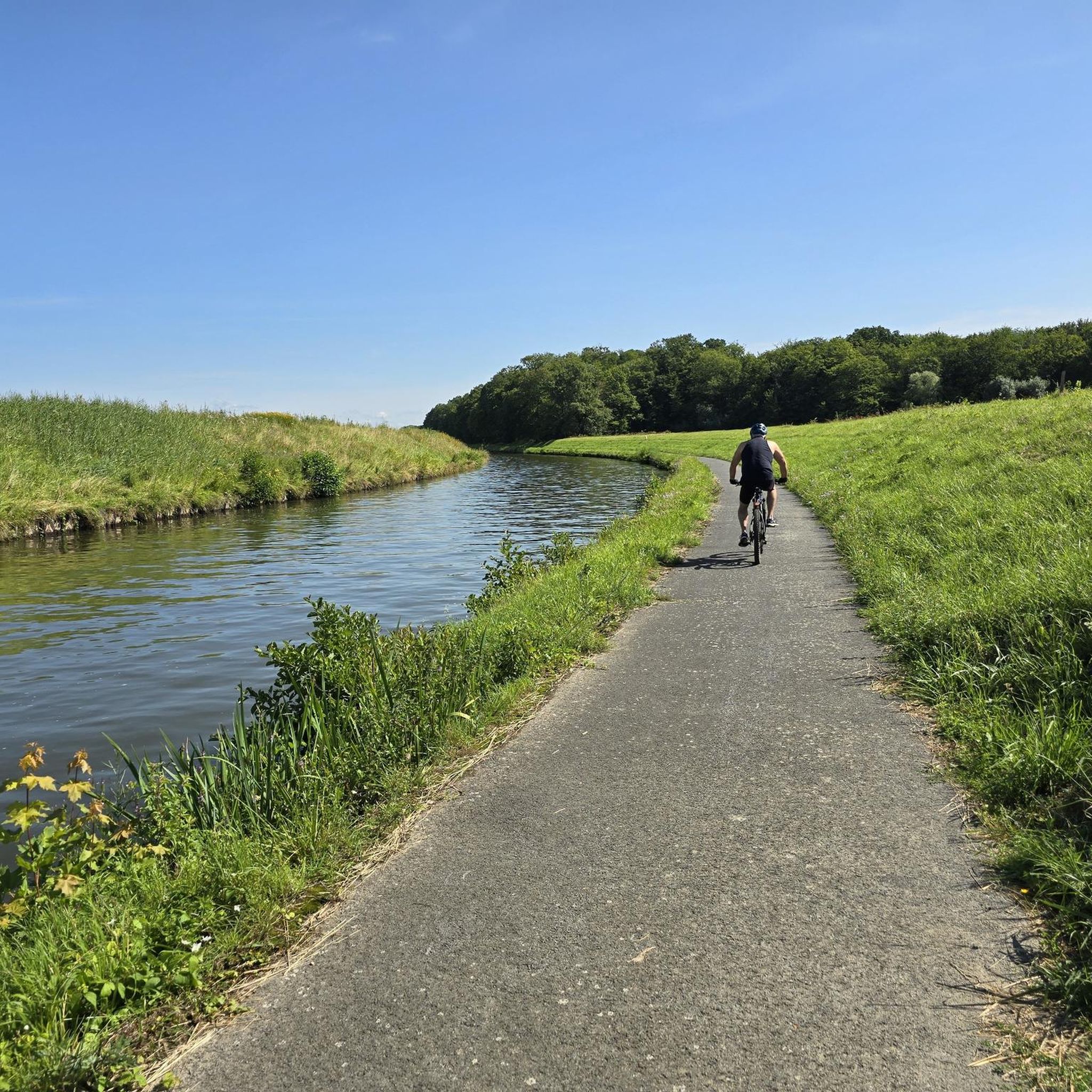
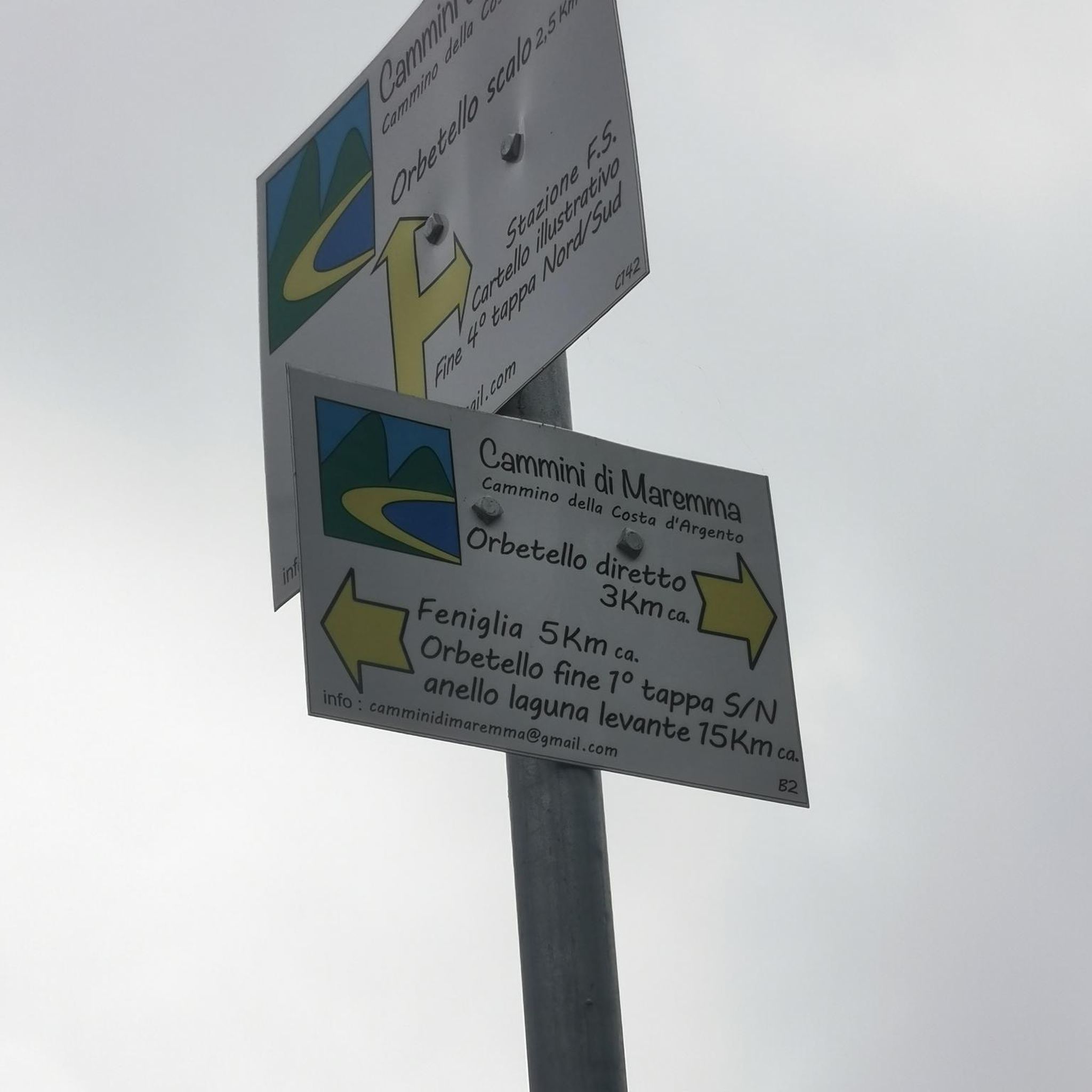
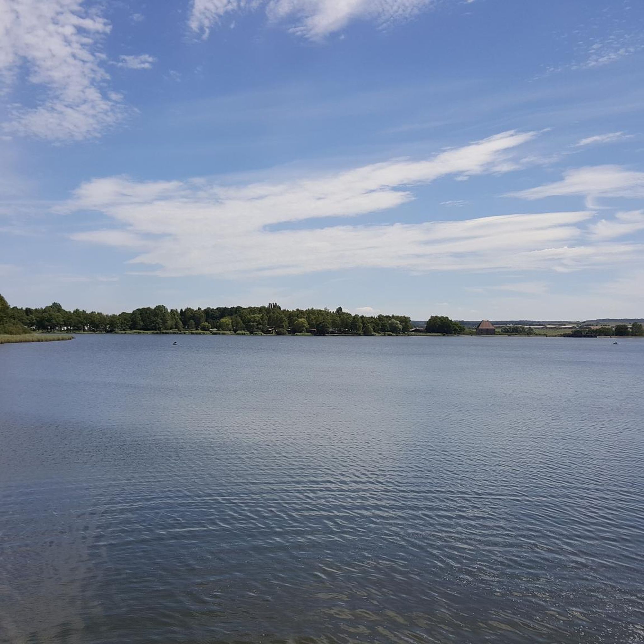
Tips from the Community

The visit of the little train is worth the detour!
0
0
Beautiful chapel at the top of the pass!
0
0


Not at all a view of the canal, it's more of the Meurthe, the canal is right next to it.
1
0

Good place to sleep before Nancy 🌠
0
0
It's very beautiful. There's a view of the pond and the church of Tarquimpole between two trees.
0
0

Impressive structure of the Rhine-Marne Canal.
0
0
Frequently Asked Questions
What kind of terrain can I expect on road cycling routes around Dunningen?
Road cycling routes around Dunningen feature rolling hills and varied terrain, situated at the eastern edge of Germany's Black Forest. You'll encounter a mix of forests, meadows, and river valleys, including the Eschachtal, Brigach, and Breg rivers. The region offers both smooth, well-maintained paths and more challenging sections with significant elevation changes, catering to various fitness levels.
How many road cycling routes are available in the Dunningen area?
There are over 40 road cycling routes available around Dunningen, offering a diverse range of experiences. These include 11 easy routes, 27 moderate routes, and 3 more difficult options, ensuring there's something for every cyclist.
Are there any easy road cycling routes suitable for beginners or relaxed rides?
Yes, Dunningen offers several easy road cycling routes. For a relaxed ride with scenic views, consider the Château d'Alteville – Salines de Dieuze loop from Dieuze, an easy 44.5 km path. Another accessible option is the Salines de Dieuze – Blanche-Église loop from Lindre-Basse, which is 38.3 km long and leads through varied landscapes.
What are some challenging road cycling routes near Dunningen for experienced cyclists?
For experienced cyclists seeking a challenge, the region offers routes with significant elevation gains. A notable difficult route is the Abreschviller, a pretty village – Col de Saint Léon loop from Dieuze, which spans nearly 125 km and features over 1000 meters of elevation gain.
What do other cyclists say about the road cycling routes in Dunningen?
The road cycling routes in Dunningen are highly rated by the komoot community, with an average score of 4.75 stars from over 9 reviews. More than 200 road cyclists have used komoot to explore the varied terrain, often praising the diverse landscapes and well-maintained paths.
What natural features or landmarks can I see while road cycling around Dunningen?
While road cycling around Dunningen, you can explore a rich tapestry of natural beauty and cultural interest. The region is close to the Black Forest, offering forested low mountain ridges and valleys. You might encounter picturesque river valleys like the Eschachtal, Brigach, and Breg. Notable man-made features include the historic Château d'Alteville and the Marne–Rhine Canal, which can be points of interest along your ride.
Are there any circular road cycling routes available?
Yes, many of the road cycling routes around Dunningen are designed as loops, allowing you to start and end in the same location. Examples include the moderate Château d'Alteville – Étang des Souches loop from Dieuze and the easy Salines de Dieuze – View of the Étang de Lindre loop from Quartier Maréchal Lyautey.
What is the best time of year for road cycling in Dunningen?
The broader Baden-Württemberg region, including Dunningen, is generally excellent for cycling from spring through autumn. The varied terrain, from valleys to high plateaus, offers pleasant conditions for road cycling during these seasons. Summer provides long daylight hours, while spring and autumn offer milder temperatures and beautiful scenery.
Are there specific cycling paths or infrastructure in Dunningen?
Dunningen benefits from a comprehensive network of cycling routes. The local Locherhof–Dunningen Cycle Path is a well-maintained, wide path suitable for road cycling. The region is also integrated into the broader 'Cycling Paradise' initiative of the Rottweil and Schwarzwald-Baar rural districts, offering signposted routes for various cycling types.
Can I find routes that pass by historical sites or castles?
Yes, the area around Dunningen is dotted with historical and cultural sights that can enhance your cycling tours. While specific routes may vary, you can find highlights such as the Château de Romécourt and the Château d'Alteville, which are points of interest along some routes. The broader region also features ruins like Hohenschramberg Castle and Falkenstein Castle.
What is the average distance and elevation gain for road cycling routes in Dunningen?
The routes around Dunningen vary significantly. Easy routes, like the Salines de Dieuze – View of the Étang de Lindre loop from Quartier Maréchal Lyautey, can be around 27 km with about 166 meters of elevation gain. Moderate routes, such as the Château d'Alteville – Étang des Souches loop from Dieuze, are typically around 51 km with 357 meters of ascent. Difficult routes can exceed 120 km with over 1000 meters of climbing.
Most popular attractions around Dunningen

Get inspired with the komoot mobile app


Explore more
Browse the best Road cycling routes in other regions.
