The best walks and hikes around Birstein
4.7
(340)
1,065
hikers
194
hikes
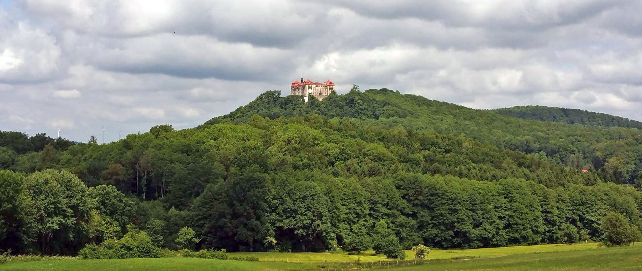
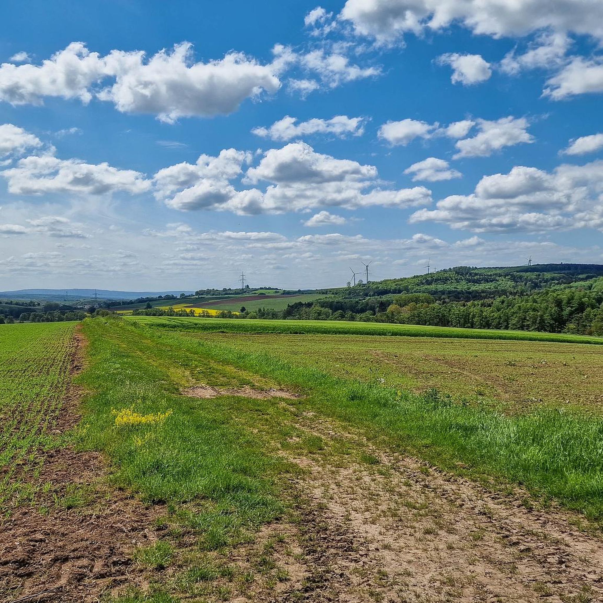
Hiking around Birstein offers routes through a landscape shaped by its volcanic past, situated within the Naturpark Vulkanregion Vogelsberg. The region features varied terrain, including gentle meadow valleys, dense forests, and clear streams, with basalt formations visible along many trails. This area provides a mix of open plains and woodlands, offering diverse natural features for outdoor activities.
Best hiking trails around Birstein
- The most popular hiking route is Old Water Tower loop from Mauswinkel, a 5.8 miles (9.3 km)…
Last updated: May 20, 2026
4.8
(21)
74
hikers
9.33km
02:32
140m
140m
Moderate hike. Good fitness required. Easily-accessible paths. Suitable for all skill levels.
4.2
(12)
43
hikers
8.65km
02:19
100m
100m
Moderate hike. Good fitness required. Easily-accessible paths. Suitable for all skill levels.

Sign up for free
4.5
(24)
42
hikers
Easy hike. Great for any fitness level. Easily-accessible paths. Suitable for all skill levels.
4.8
(5)
18
hikers
8.05km
02:07
70m
70m
Moderate hike. Good fitness required. Easily-accessible paths. Suitable for all skill levels.
4.0
(7)
27
hikers
8.47km
02:15
80m
80m
Moderate hike. Good fitness required. Easily-accessible paths. Suitable for all skill levels.
Get access to more routes and recommendations from other explorers.
Sign up for free
Already have an account?
Our route recommendations are based on thousands of hikes, rides, and runs completed by other people on komoot.
Start today with a free account
Your next adventure awaits.
Login or Signup
Other adventures around Birstein

Tips from the Community


Information is available at: www.gasthaus-reichert.de
0
0

Great view while lying down!
0
0

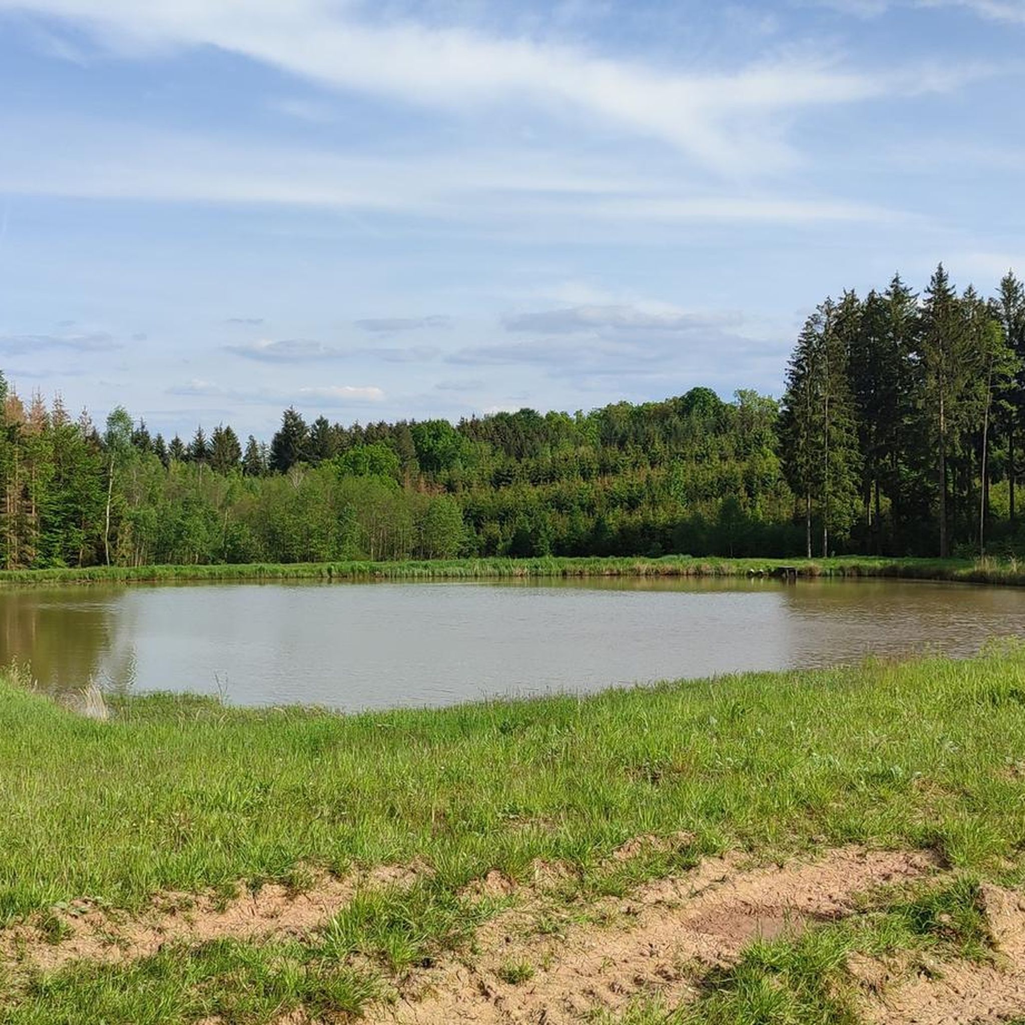
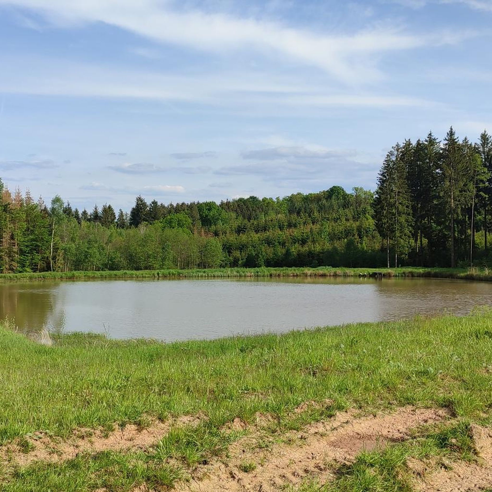
There is a viewing platform with a bench from which you have a great view over the entire pond. Really beautiful!
1
0

THE STAG LEAP. The two stones mark the take-off and landing of the stag.
0
0

At the moment the pond is drained and dried out, for whatever reason 🤷🏼♀️🙈
0
0

On April 21, 1944, the Junkers Ju 88 took off from Mannheim and crashed at this location in a heavy snowstorm. Five people were killed.
1
0
Frequently Asked Questions
What kind of landscape and terrain can I expect when hiking around Birstein?
Birstein is situated within the Naturpark Vulkanregion Vogelsberg, offering a landscape shaped by its volcanic past. You'll encounter distinctive basalt formations, varied terrain with gentle meadow valleys, enchanting forests, and clear streams. The scenery constantly changes between open plains, woodlands, and even horse paddocks, providing continuous visual interest. Many trails also offer panoramic views stretching into the Spessart, Taunus, and sometimes even the Frankfurt skyline.
How many hiking trails are available in the Birstein area?
There are over 190 hiking trails available around Birstein. The majority of these routes are classified as easy or moderate, with 111 easy trails and 80 moderate trails, making the area accessible for various fitness levels.
Are there any notable natural features or landmarks to see on hikes in Birstein?
Yes, the region's volcanic origin means you'll often see unique basalt formations. You can also explore areas like the nature reserve around Graf-Dietrichs-Weiher, which offers insights into local flora and fauna. Additionally, the impressive Bismarck Tower Taufstein and the Bilstein Summit offer great viewpoints. The Nidda Spring is another significant natural monument in the wider area.
What do other hikers enjoy most about hiking in Birstein?
The hiking routes in Birstein are highly rated by the komoot community, with an average score of 4.7 stars from over 300 reviews. Hikers often praise the diverse terrain, the well-maintained paths, and the peaceful natural surroundings that showcase the unique volcanic landscape.
Are there any good circular hiking routes in Birstein?
Yes, many routes in Birstein are circular, allowing you to start and end at the same point. A notable long-distance option is the 'Vulkanring Vogelsberg,' a circular trail spanning approximately 118 to 125 kilometers, which can be completed in stages. For shorter options, consider routes like the Large Forest Pond – Forest Ponds loop from Untersotzbach or the Waschweiher Pond – Church of Untersotzbach loop from Obersotzbach.
Are there easy hiking trails suitable for beginners or casual walkers?
Absolutely. Birstein offers 111 easy hiking trails. An excellent option for a relaxed walk is the Lichtenröther Salztalspur – Evangelical Church Lichenroth loop from Lichenroth, which is 3.3 miles (5.4 km) long and takes about 1 hour 27 minutes to complete, leading through local villages and natural surroundings.
Are there any huts or cabins along the hiking trails for a break?
Yes, the wider Birstein area, particularly within the Vogelsberg region, features several huts and cabins that can serve as resting points. Examples include the Taufstein Hut, the Walter Kress Hut at Ober-Mooser Pond, and the Hoherodskopf-Klause mountain hut.
What is the best time of year to go hiking in Birstein?
The diverse landscapes of Birstein make it suitable for hiking across multiple seasons. Spring and autumn offer pleasant temperatures and beautiful scenery with blooming flowers or vibrant fall foliage. Summer is also popular, especially in the shaded forest areas. Winter hiking is possible, though conditions may vary, particularly in higher elevations of the Vogelsberg.
Are there family-friendly hiking options in Birstein?
Many of the easy and moderate trails in Birstein are suitable for families. The varied terrain, with its mix of forests, meadows, and streams, provides an engaging environment for children. Look for routes that pass by natural features or offer opportunities for exploration, such as those near the Graf-Dietrichs-Weiher nature reserve.
Can I bring my dog on the hiking trails in Birstein?
Generally, dogs are welcome on hiking trails in Birstein and the surrounding Vogelsberg region. It's always advisable to keep your dog on a leash, especially in nature reserves, near livestock, or in areas with wildlife. Ensure you carry water for your dog and clean up after them to maintain the natural environment for everyone.
Is public transport available to access hiking trails in Birstein?
While Birstein is well-connected by road, public transport options to specific trailheads might be limited, especially for routes starting in smaller villages. It's recommended to check local bus schedules in advance if you plan to rely on public transport to reach your desired starting point. Parking is generally available in the towns and villages near popular trailheads.
Are there any longer hiking trails for experienced hikers?
For experienced hikers seeking longer challenges, the 'Vulkanring Vogelsberg' is a significant option. This long-distance circular trail, approximately 118 to 125 kilometers, offers an immersive experience of the volcanic region, linking natural and geological features, picturesque valleys, and charming villages. It's designed to minimize paved roads, focusing on natural paths.
Most popular attractions around Birstein

Get inspired with the komoot mobile app


Explore more
Browse the best Hikes in other regions.
