The best road cycling routes around Egelshardt
4.6
(90)
1,273
riders
92
rides
Road cycling around Egelshardt offers a diverse landscape characterized by rolling hills, dense woodlands, and scenic valleys. The region features a network of paved roads that wind through rural areas and past historical sites. Road cyclists can expect varied terrain, from gentle ascents to more challenging climbs, providing options for different skill levels. The area's natural beauty and well-maintained roads make it suitable for extended road bike routes.
Best road cycling routes around Egelshardt
- The most popular road cycling route is Untermuehl Valley, Baerenthal – Ruins of the Jaegerthal forge loop from Éguelshardt, a 33.1 miles (53.3 km) trail that takes 2 hours 13 minutes to complete, passing through the Untermuehl Valley and historical ruins.
- Another top favourite among local road cyclists is Obersteinbach goat farm – Untermuehl Valley, Baerenthal loop from Éguelshardt, a moderate 55.0 miles (88.5 km) path. This route offers expansive views of the Untermuehl Valley and rural landscapes.
- Local road cyclists also love the Beautiful view – Citadel of Bitche loop from Éguelshardt, a 45.1 miles (72.5 km) trail leading through varied terrain with views towards the Citadel of Bitche, often completed in about 3 hours 21 minutes.
- Road cycling around Egelshardt is defined by rolling hills, forested sections, and open rural landscapes. The network of routes offers options for various ability levels, from easy road bike routes to more advanced road bike routes.
- The routes in Egelshardt are highly rated by the komoot community with an average score of 4.6 stars from over 80 reviews. More than 1,100 road cyclists have used komoot to explore Egelshardt's varied terrain.
Last updated: July 3, 2026
4.8
(5)
78
riders
Moderate road ride. Good fitness required. Mostly well-paved surfaces and easy to ride.
4.5
(2)
30
riders
Moderate road ride. Good fitness required. Mostly well-paved surfaces and easy to ride.

Sign up for free
4.0
(1)
36
riders
57.9km
02:31
520m
520m
Moderate road ride. Good fitness required. Mostly well-paved surfaces and easy to ride.
13
riders
35.3km
01:26
210m
210m
Easy road ride. Great for any fitness level. Mostly well-paved surfaces and easy to ride.
14
riders
85.2km
04:15
900m
900m
Moderate road ride. Good fitness required. Some segments of this route may be unpaved and difficult to ride.
Get access to more routes and recommendations from other explorers.
Sign up for free
Already have an account?
Our route recommendations are based on thousands of hikes, rides, and runs completed by other people on komoot.
Start today with a free account
Your next adventure awaits.
Login or Signup

Tips from the Community


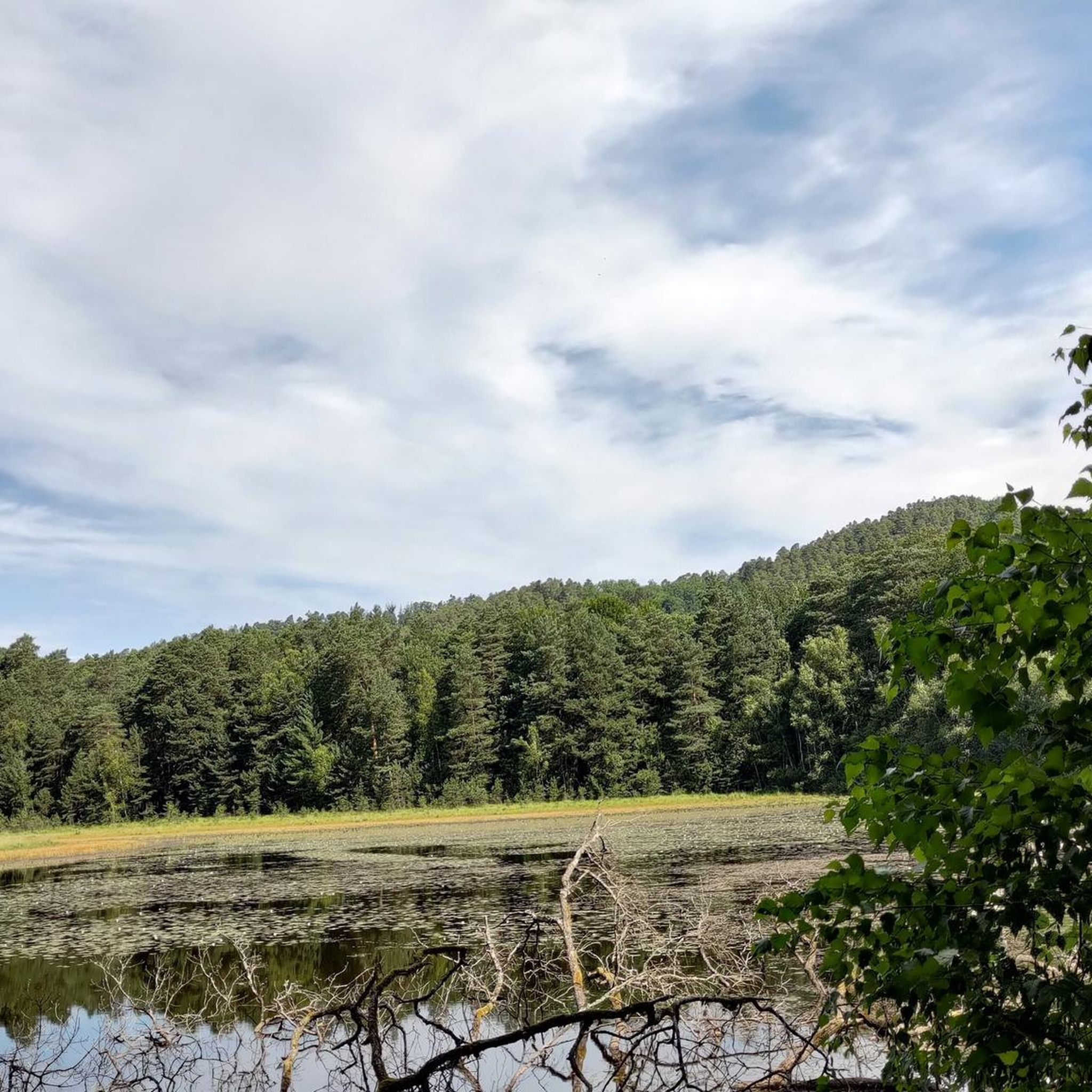
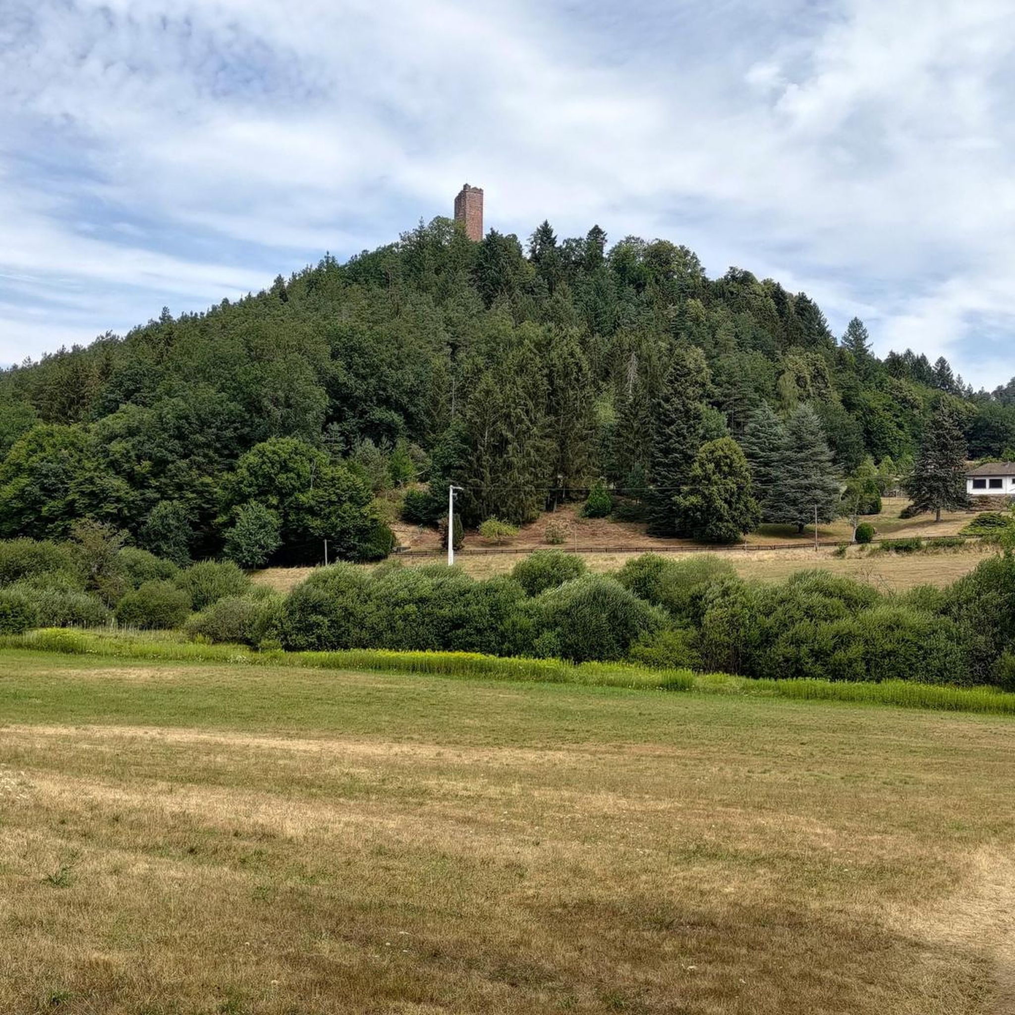
It's incredible that the gable walls and columns from the 16th century are still standing today.
1
0

what a beautiful fortress with great views in all directions
2
0

8 km through the countryside. It runs smoothly here. And there's relatively little traffic.
2
0
a beautiful route with little traffic, although there are a few trucks.
2
0
There's a bakery here that's open for lunch, and two restaurants. Apart from that, I can't think of anything that makes this place a highlight.
3
0
I enjoyed a delicious baguette and a pain au chocolate here on my tour. Not world-record-worthy, but good and inexpensive. Open for lunch.
2
0
A great cycle path with the best surface, perfect for cycling through the countryside.
3
0
Frequently Asked Questions
How many road cycling routes are available in Egelshardt?
Egelshardt offers a wide selection of nearly 100 road cycling routes. These routes cater to various skill levels, from easy to difficult, ensuring there's something for every cyclist.
Are there easy road cycling routes suitable for beginners in Egelshardt?
Yes, Egelshardt has several easy road cycling routes perfect for beginners. For instance, the Route de Sturzelbronn – Route de Neunhoffen loop from Leimenthal is a great option, offering a gentler ride through scenic landscapes.
What options are available for experienced road cyclists seeking a challenge?
Experienced road cyclists will find plenty of challenging routes in Egelshardt, with 21 routes classified as difficult. These often feature more significant elevation gains and longer distances, such as the Beautiful view – Citadel of Bitche loop from Éguelshardt, which includes substantial climbing.
When is the best time of year to go road cycling in Egelshardt?
The best time for road cycling in Egelshardt is typically from spring through autumn. During these seasons, the weather is generally mild, and the natural scenery, including dense woodlands and rolling hills, is at its most vibrant. Summer offers longer daylight hours, while spring and autumn provide cooler temperatures ideal for longer rides.
Are most road cycling routes in Egelshardt designed as loops?
Many of the road cycling routes in Egelshardt are designed as loops, allowing you to start and finish at the same point. This is convenient for planning your ride, especially if you're driving to the starting location. Examples include the Untermuehl Valley, Baerenthal – Ruins of the Jaegerthal forge loop from Éguelshardt and the Obersteinbach goat farm – Untermuehl Valley, Baerenthal loop from Éguelshardt.
What do other road cyclists enjoy most about road cycling in Egelshardt?
The road cycling experience in Egelshardt is highly rated by the komoot community, with an average score of 4.6 stars from over 80 reviews. Cyclists often praise the diverse landscape, which includes rolling hills, dense woodlands, and scenic valleys, as well as the well-maintained paved roads that wind through rural areas and past historical sites.
Which routes offer the most scenic views in Egelshardt?
Many routes in Egelshardt offer beautiful views. The Beautiful view – Citadel of Bitche loop from Éguelshardt is specifically named for its scenic vistas, including views towards the historic Citadel of Bitche. The Untermuehl Valley, featured in routes like the Obersteinbach goat farm – Untermuehl Valley, Baerenthal loop from Éguelshardt, also provides expansive rural landscapes.
Are there places to stop for refreshments or food along the road cycling routes?
While specific cafes are not always directly on every route, the region around Egelshardt features small villages and towns where you can find local eateries and shops. Planning your route with komoot allows you to identify potential stops for refreshments or to pack your own snacks for a more remote ride.
Where can I find parking when road cycling in Egelshardt?
Parking is generally available in and around the main villages and starting points of many routes in Egelshardt. Look for designated parking areas in Éguelshardt itself or in nearby towns like Leimenthal or Philippsbourg, which serve as common access points for the region's cycling trails.
What is the typical duration of road cycling routes in Egelshardt?
The duration of road cycling routes in Egelshardt varies significantly depending on the distance and elevation. Shorter, easier routes might take around 1.5 to 2 hours, while longer, more challenging paths can extend to 4 hours or more. For example, the Untermuehl Valley, Baerenthal – Ruins of the Jaegerthal forge loop from Éguelshardt typically takes about 2 hours and 13 minutes.
Are there any historical sites or landmarks to see along the routes?
Yes, road cycling routes in Egelshardt often pass by historical sites. The Untermuehl Valley, Baerenthal – Ruins of the Jaegerthal forge loop from Éguelshardt, for instance, takes you past historical ruins. Additionally, the Beautiful view – Citadel of Bitche loop from Éguelshardt offers views of the impressive Citadel of Bitche, a significant regional landmark.
Most popular routes around Egelshardt
Most popular attractions around Egelshardt

Get inspired with the komoot mobile app


Explore more
Browse the best Road cycling routes in other regions.
