The best road cycling routes around Larivière
4.1
(40)
1,955
riders
150
rides
Road cycling routes around Larivière are set within the Territoire de Belfort department of Bourgogne-Franche-Comté, France, offering varied terrain for cyclists. The region features an elevation ranging from 354 to 381 meters, indicating a landscape with ascents and descents. Cyclists can expect a mix of rolling hills, forests, and river valleys, providing diverse scenic experiences. The area's topography supports both challenging climbs and picturesque routes suitable for road cycling.
Best road cycling routes around Larivière
- The most popular road cycling…
Last updated: June 29, 2026
19
riders
45.0km
01:58
250m
250m
Moderate road ride. Great for any fitness level. Some segments of this route may be unpaved and difficult to ride.
11
riders
15.1km
00:44
60m
60m
Easy road ride. Great for any fitness level. Mostly well-paved surfaces and easy to ride.

Sign up for free
7
riders
29.4km
01:13
180m
180m
Easy road ride. Great for any fitness level. Mostly well-paved surfaces and easy to ride.
5.0
(2)
11
riders
39.8km
01:43
340m
340m
Moderate road ride. Good fitness required. Mostly well-paved surfaces and easy to ride.
8
riders
33.0km
01:39
390m
390m
Moderate road ride. Good fitness required. Some segments of this route may be unpaved and difficult to ride.
Get access to more routes and recommendations from other explorers.
Sign up for free
Already have an account?
Our route recommendations are based on thousands of hikes, rides, and runs completed by other people on komoot.
Start today with a free account
Your next adventure awaits.
Login or Signup

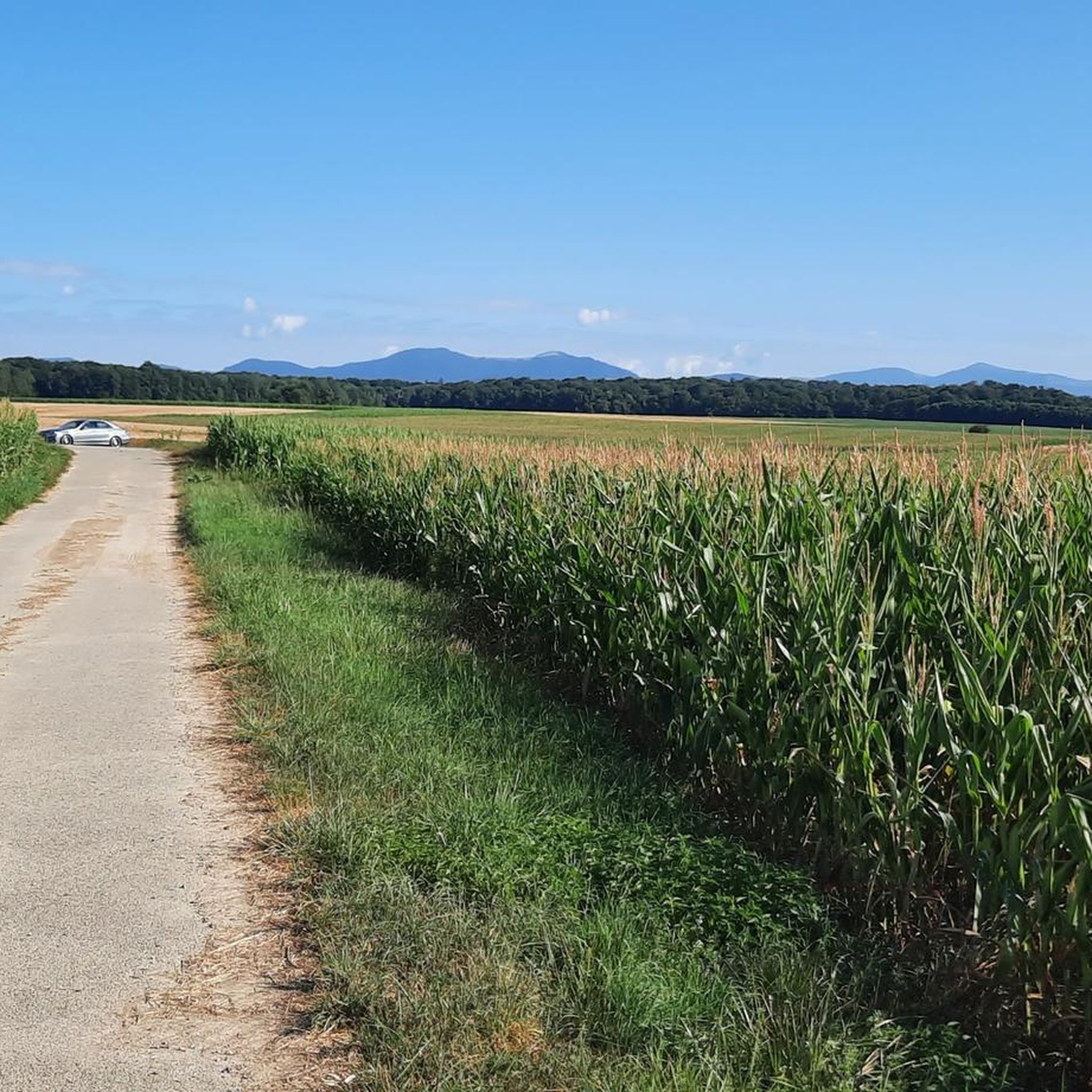
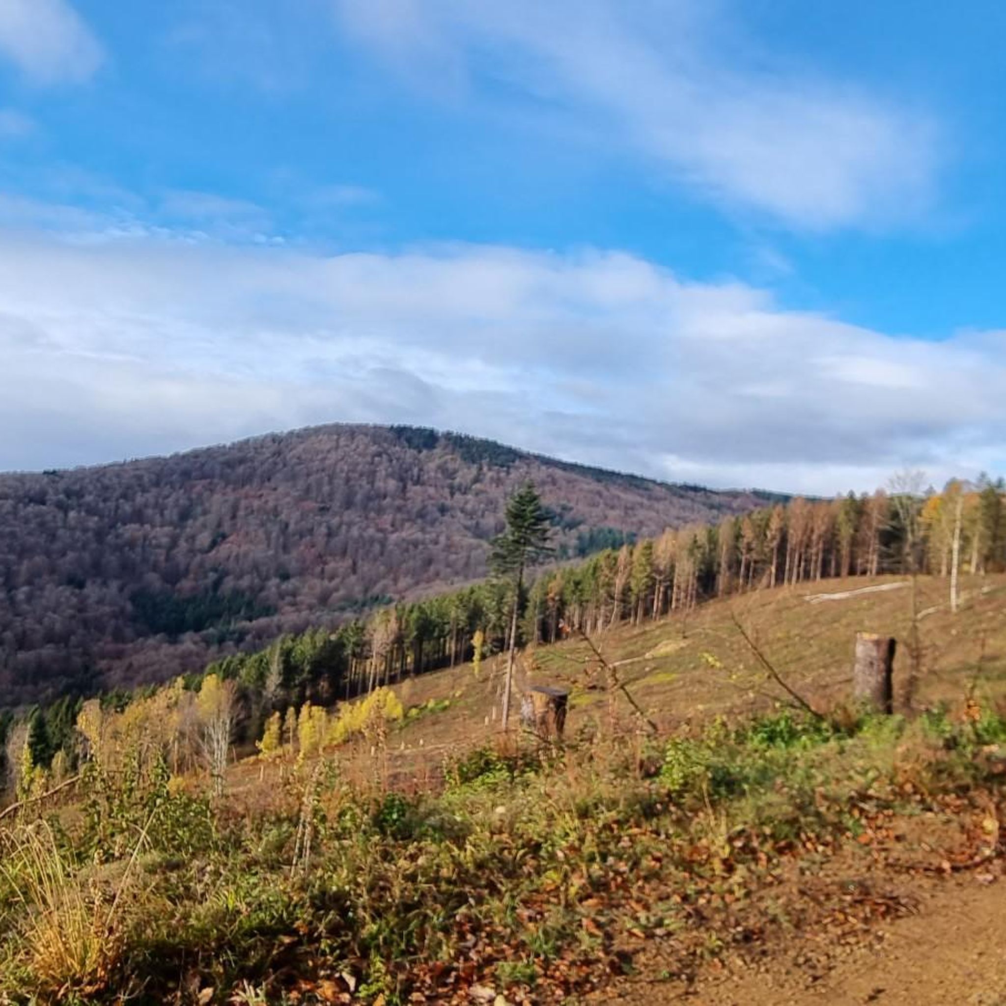
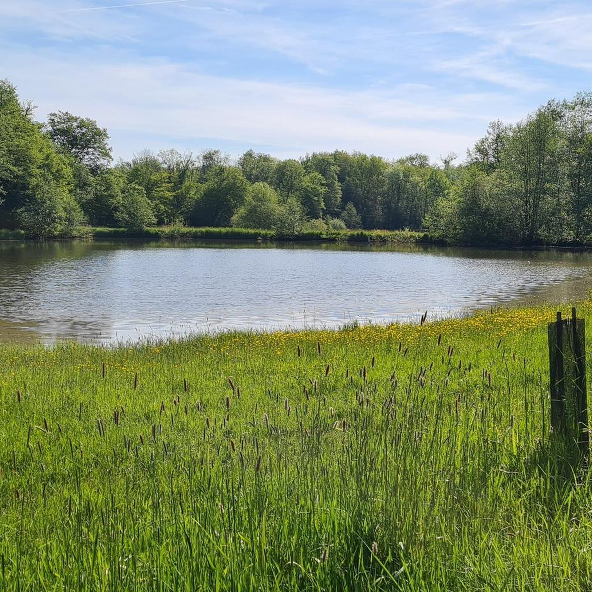
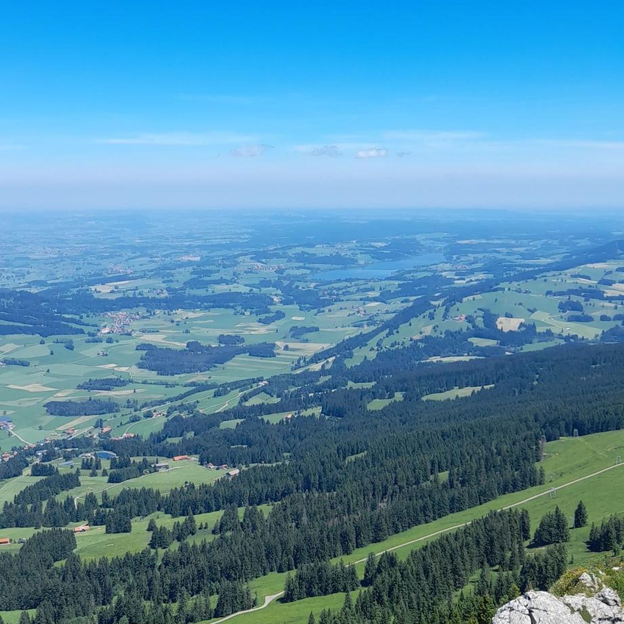
Tips from the Community

There are also toilets and a water point
0
0

Ammertzwiller is a quiet Alsatian village that is surprisingly convenient for cyclists on the road. There are a few mini markets, restaurants and even a chemist – ideal for stocking up on provisions or taking a break. The village is set in rolling countryside and offers lovely picnic spots overlooking the fields. Information boards in the village tell the story of the local history during the First World War, making this stop not only practical but also meaningful."
8
0
The Port fluvial de Dannemarie is no ordinary marina – it’s an unexpected oasis along the canal, where boats bob gently and herons keep watch. For cyclists, it feels like a little refuge: a place to take a break from the rhythm of your pedals and take on the rhythm of the water. Here you can refill your water bottle, stretch your legs on a bench in the shade or a little further away at the restaurant, or just watch the sun play on the surface of the canal.
9
1


In the north of Belfort, this bridge allows you to cross the Savoureuse. You can see the river descending in steps.
1
0

beautiful landscape, interesting locks, nice cycle path
0
1
beautiful landscape, interesting locks, nice cycle path
0
2
Frequently Asked Questions
How many road cycling routes are available around Larivière?
There are over 140 road cycling routes around Larivière, offering a wide variety of options for different skill levels and preferences. The komoot community has explored these routes over 2,500 times.
What kind of terrain can I expect on road cycling routes near Larivière?
Road cycling around Larivière features a diverse landscape with rolling hills, dense forests, and picturesque river valleys. The region's elevation ranges from 354 to 381 meters, providing a mix of ascents and descents. You can find both challenging climbs and more gentle, scenic routes.
Are there road cycling routes suitable for beginners or families in Larivière?
Yes, Larivière offers several easy road cycling routes perfect for beginners or families. For example, the Etang loop from Angeot is a 9.4-mile (15.1 km) trail leading through rural landscapes and past local water features, typically completed in about 44 minutes. There are 43 easy routes in total.
What are some challenging road cycling routes for experienced riders?
For experienced riders seeking a challenge, the region offers routes with significant elevation gain. The Ballon d'Alsace – Col du Ballon d'Alsace loop from Reppe is a difficult 46.9-mile (75.5 km) route with nearly 1,000 meters of elevation gain, taking approximately 3 hours 40 minutes to complete. The wider Bourgogne-Franche-Comté region is also home to renowned climbs like La Planche des Belles Filles.
Are there any circular road cycling routes around Larivière?
Yes, many of the road cycling routes around Larivière are circular, allowing you to start and end at the same point. For instance, the Port of Dannemarie – Écluse Muehlenmatten loop from Lacollonge is a moderate 27.9-mile (44.9 km) circular path offering a mix of flatter sections and gentle climbs.
What interesting sights or landmarks can I see along road cycling routes near Larivière?
While cycling, you can explore various points of interest. The Port of Dannemarie – Écluse Muehlenmatten loop from Lacollonge passes by the Port of Dannemarie. Other nearby attractions include historical sites like the Citadel of Belfort and the iconic Lion of Belfort.
What do other road cyclists enjoy most about road cycling in Larivière?
The area is highly rated by the komoot community, with an average score of 4.5 stars from over 50 reviews. Cyclists often praise the varied terrain, which includes rolling hills, dense forests, and river valleys, providing diverse scenic experiences and options for all ability levels.
What is the best time of year for road cycling in Larivière?
The Bourgogne-Franche-Comté region generally offers pleasant cycling conditions from spring through autumn. Summer provides warm weather, while spring and autumn offer cooler temperatures and beautiful scenery with changing foliage. Winter cycling might be possible, but conditions can be challenging due to colder temperatures and potential for snow, especially on higher climbs.
Are there any routes that pass by canals or water features?
Yes, some routes incorporate local water features. The Port of Dannemarie – Écluse Muehlenmatten loop from Lacollonge passes by the Port of Dannemarie and the Valdieu-Lutran lock scale. Additionally, the EuroVelo 6 Aumatten – Écluse Muehlenmatten loop from Reppe follows sections of the Canal du Rhône au Rhin.
Can I find routes that are part of larger cycling networks?
Yes, the EuroVelo 6 Aumatten – Écluse Muehlenmatten loop from Reppe incorporates a section of the EuroVelo 6, also known as the 'Rivers Route', which is a major European cycle route connecting the Atlantic to the Black Sea. This offers a glimpse into longer-distance cycling possibilities.
Are there any routes that start directly from Larivière?
Yes, you can find routes that start directly from the commune. For example, the Moulin Energy Source loop from Larivière is an easy 18.3-mile (29.4 km) route that begins and ends in Larivière itself.
Most popular attractions around Larivière

Get inspired with the komoot mobile app


Explore more
Browse the best Road cycling routes in other regions.
