The best MTB trails around Freialtdorf
4.7
(43)
163
riders
39
rides
Mountain bike trails around Freialtdorf traverse a landscape characterized by rolling terrain and forested areas, often incorporating natural water features like ponds. The region offers a mix of paths suitable for mountain biking, with routes frequently forming loops that explore the local countryside. These trails provide opportunities to experience the area's natural environment.
Best mountain bike trails around Freialtdorf
- The most popular mountain bike trail is Diefenbach Pond loop from Hellimer, a 28.9 miles (46.6 km) trail that takes…
Last updated: May 21, 2026
5.0
(4)
27
riders
Moderate mountain bike ride. Good fitness required. Advanced riding skills necessary.
5.0
(1)
9
riders
51.4km
02:58
290m
290m
Moderate mountain bike ride. Good fitness required. Advanced riding skills necessary.

Sign up for free
8
riders
38.0km
02:54
270m
270m
Moderate mountain bike ride. Good fitness required. Advanced riding skills necessary.
3.0
(1)
3
riders
29.3km
02:03
270m
270m
Moderate mountain bike ride. Good fitness required. Advanced riding skills necessary.
5
riders
Moderate mountain bike ride. Good fitness required. Advanced riding skills necessary.
Get access to more routes and recommendations from other explorers.
Sign up for free
Already have an account?
Our route recommendations are based on thousands of hikes, rides, and runs completed by other people on komoot.
Start today with a free account
Your next adventure awaits.
Login or Signup
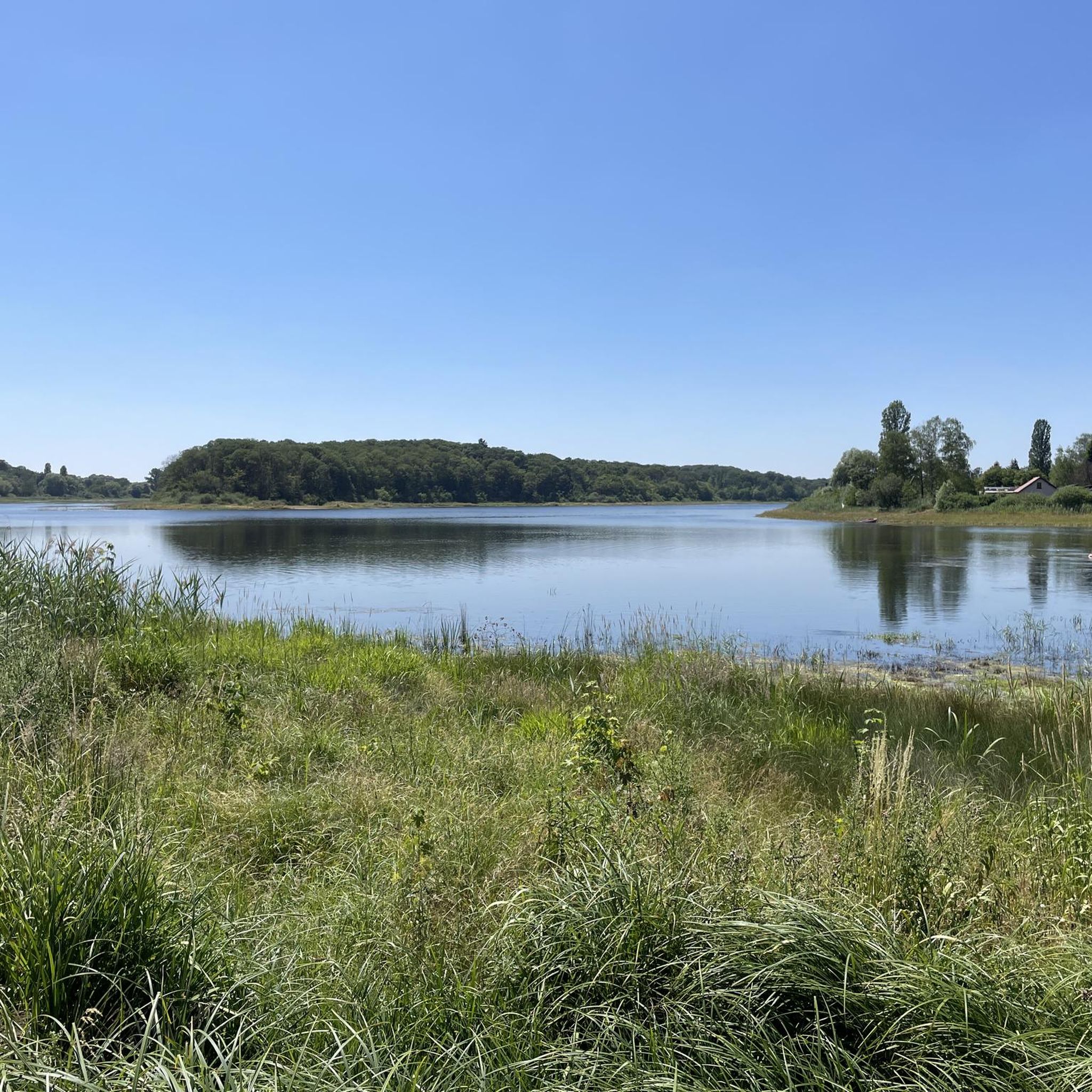
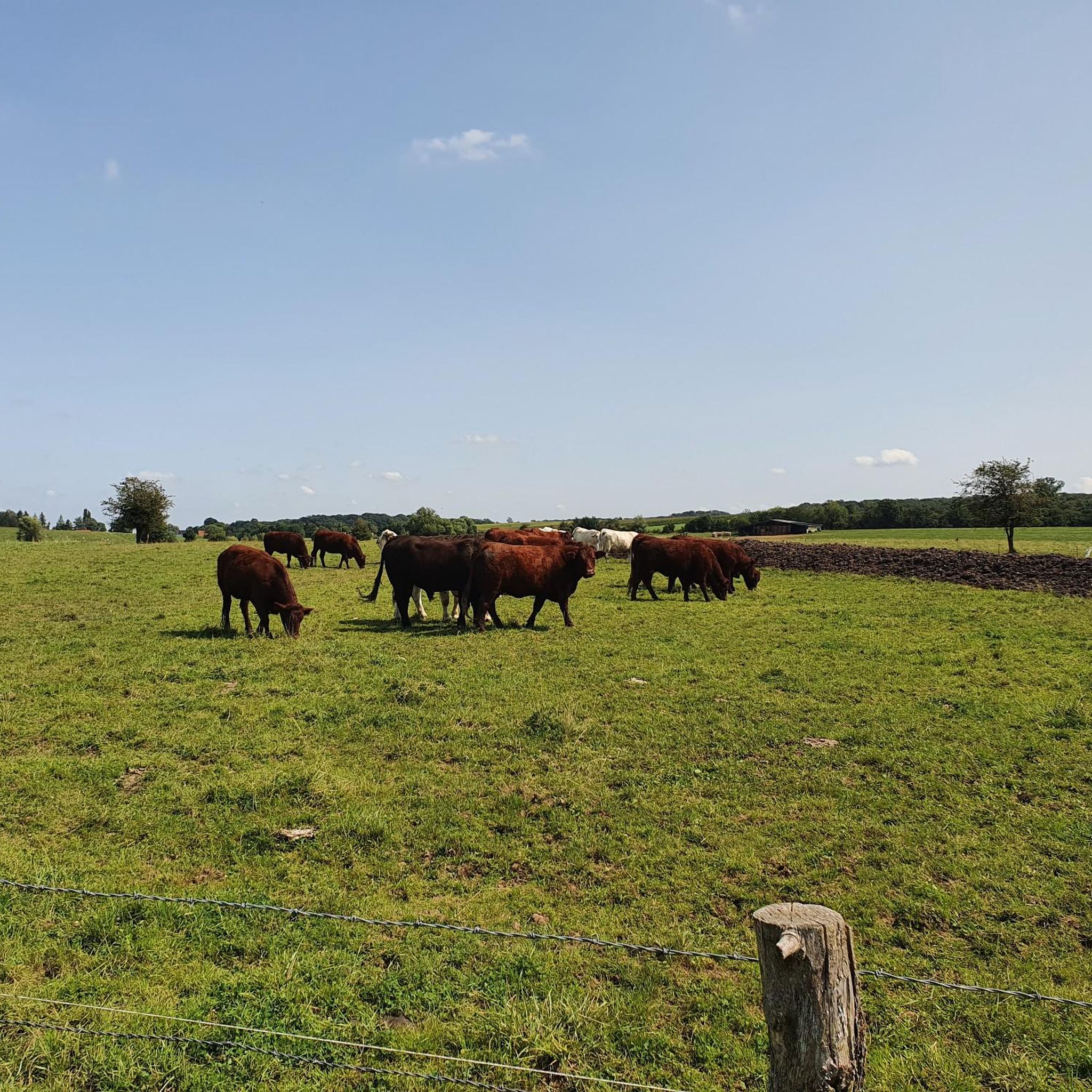


Tips from the Community

Overlooking the charming village of Altrippe, the Church of Saint-Pierre makes no secret of its uniqueness: a round tower. The Romanesque-style building was constructed in 1450 and enlarged in the 19th century. Taking the path south, you'll find the Calvary at the highest point in the village. It was erected in 1898 by Abbot Colbus and his parishioners following a mystical vision.
0
0


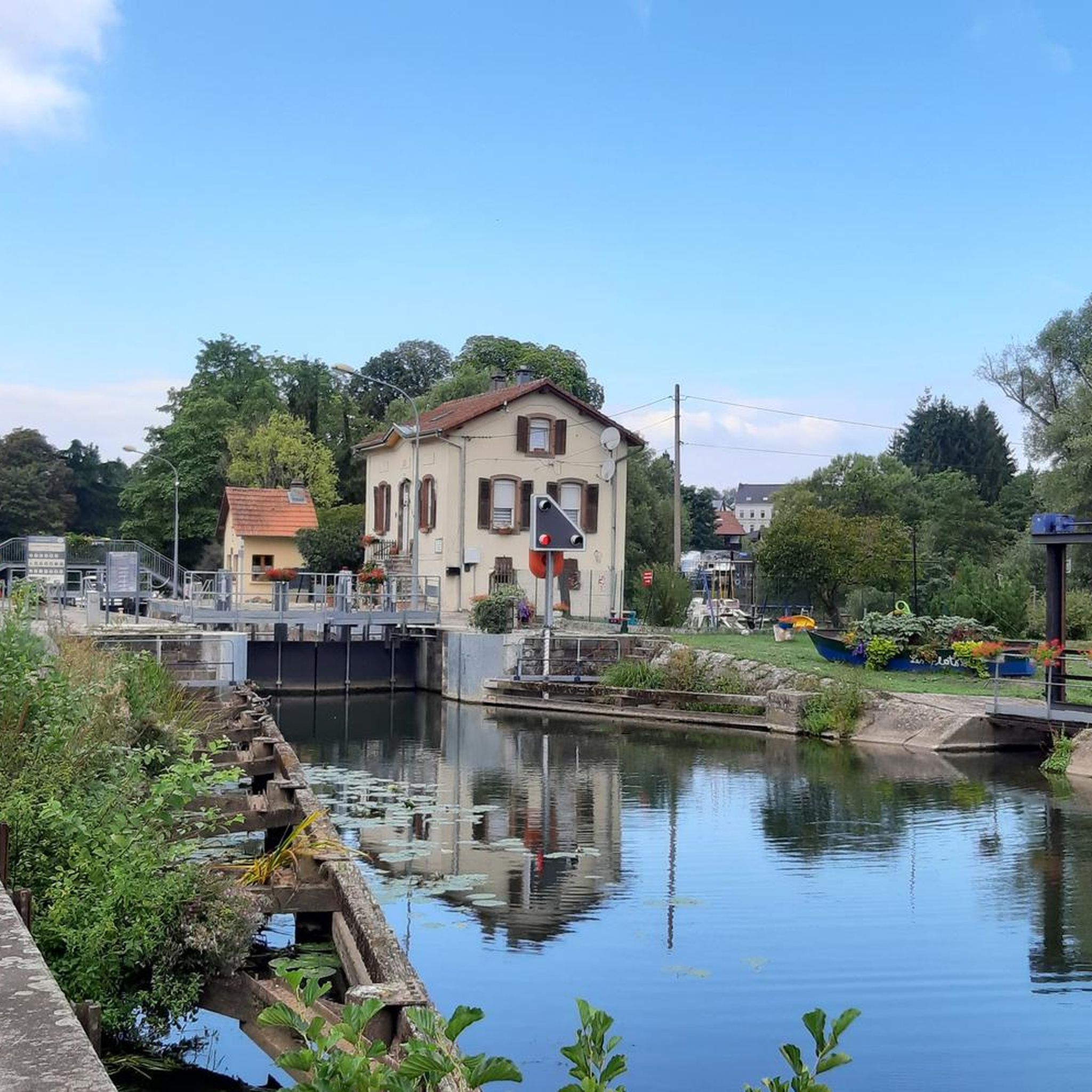
There are several bridges over this historic canal, both steel and sandstone, which is typical for this region
2
0

Here the Saar-Kohle Canal flows over the Albe, another river. Shortly after Sarralbe, the Albe flows into the Saar.
2
0
Frequently Asked Questions
How many mountain bike trails are available around Freialtdorf?
There are over 30 mountain bike trails around Freialtdorf, offering a variety of options for different skill levels. The komoot community has explored these routes over 180 times.
What kind of terrain can I expect on mountain bike trails in Freialtdorf?
The mountain bike trails in Freialtdorf are characterized by rolling terrain and forested areas. You'll often find paths that incorporate natural water features, providing a scenic backdrop for your ride. The region of Saxony, where Freital (a similar-sounding location) is situated, is known for its diverse landscapes, including hills and woodlands.
Are there mountain bike trails suitable for beginners in Freialtdorf?
Yes, Freialtdorf offers several trails suitable for beginners. Out of the total routes, 10 are classified as easy. An example of an easy route is the Eglise Grostenquin – Church of Lelling loop from Freybouse, which covers 32.2 km.
Can I find longer mountain bike routes in Freialtdorf?
Absolutely. Many routes in Freialtdorf are designed as longer loops. For instance, the Étang d hirchbach – Pretty Flowering Bushes loop from Hellimer is a moderate 53.5 km path, and the Diefenbach Pond loop from Hellimer is 46.6 km long.
What attractions or natural features can I see while mountain biking in Freialtdorf?
While mountain biking in Freialtdorf, you can encounter several interesting natural features and landmarks. Routes often pass by water bodies like the Diefenbach Pond or the Marsh Pond. You might also spot the Honnert Oak Tree, a natural monument, or historical sites like Die drei Kreuze.
Is Freialtdorf a good destination for family-friendly mountain biking?
Given the presence of 10 easy trails and the generally rolling, forested terrain, Freialtdorf can be a good option for family-friendly mountain biking, especially if you choose the less challenging routes. The focus on loops and natural features makes for an enjoyable outdoor experience.
What do other mountain bikers say about the trails in Freialtdorf?
The mountain bike trails in Freialtdorf are highly rated by the komoot community, with an average score of 4.6 stars from over 40 reviews. Users often praise the varied terrain, the scenic forested paths, and the presence of local water features that enhance the riding experience.
What is the best time of year for mountain biking in Freialtdorf?
The best time for mountain biking in Freialtdorf generally aligns with spring, summer, and early autumn when the weather is milder and the trails are dry. The forested areas provide good shade during warmer months, and the natural water features are particularly pleasant. Winter riding might be possible, but conditions can be challenging with colder temperatures and potential snow or ice.
Are there any designated downhill trails in Freialtdorf?
While the guide data doesn't specify, regions like Freital (a similar-sounding location) are known to offer mountain biking trails, some of which are designated for downhill use only and feature berms. It's worth checking local signage or specific trail descriptions for any dedicated downhill sections in Freialtdorf.
Are dogs allowed on the mountain bike trails in Freialtdorf?
Generally, dogs are permitted on many outdoor trails in Germany, especially in natural areas, provided they are kept under control, often on a leash, and owners clean up after them. However, specific trail regulations can vary, so it's always best to look for local signage or check with local authorities regarding dog policies on individual trails in Freialtdorf.
How can I access the mountain bike trails in Freialtdorf by public transport?
Accessing mountain bike trails by public transport in rural areas like Freialtdorf can sometimes be challenging. While specific public transport links to trailheads are not detailed, you might find regional bus services connecting to nearby towns. It's advisable to check local transport schedules for the Freialtdorf area to plan your journey.
Where can I park when mountain biking in Freialtdorf?
Parking options for mountain biking in Freialtdorf typically include designated parking areas near trailheads or in nearby villages. Look for signs indicating public parking. If starting from a specific town like Hellimer or Freybouse (mentioned in some route descriptions), you'll likely find parking facilities there.
Are there mountain bike trails in Freialtdorf that pass by water features?
Yes, many mountain bike trails in Freialtdorf incorporate natural water features. The region's landscape often includes ponds and other water bodies. For example, the Diefenbach Pond loop from Hellimer specifically highlights a pond, and the Étang d hirchbach – Pretty Flowering Bushes loop from Hellimer also features a pond.
What are some moderate mountain bike trails in Freialtdorf?
Freialtdorf offers 24 moderate mountain bike trails. A good example is the Monument of the Forest Path – Biding Panorama loop from Freybouse, which is 29.3 km long and takes approximately 2 hours to complete, offering varied terrain and scenic views.
Most popular routes around Freialtdorf
Most popular attractions around Freialtdorf

Get inspired with the komoot mobile app


Explore more
Browse the best MTB trails in other regions.
