The best running trails around Saint-Côme-D'Olt
4.3
(33)
1,273
runners
110
runs
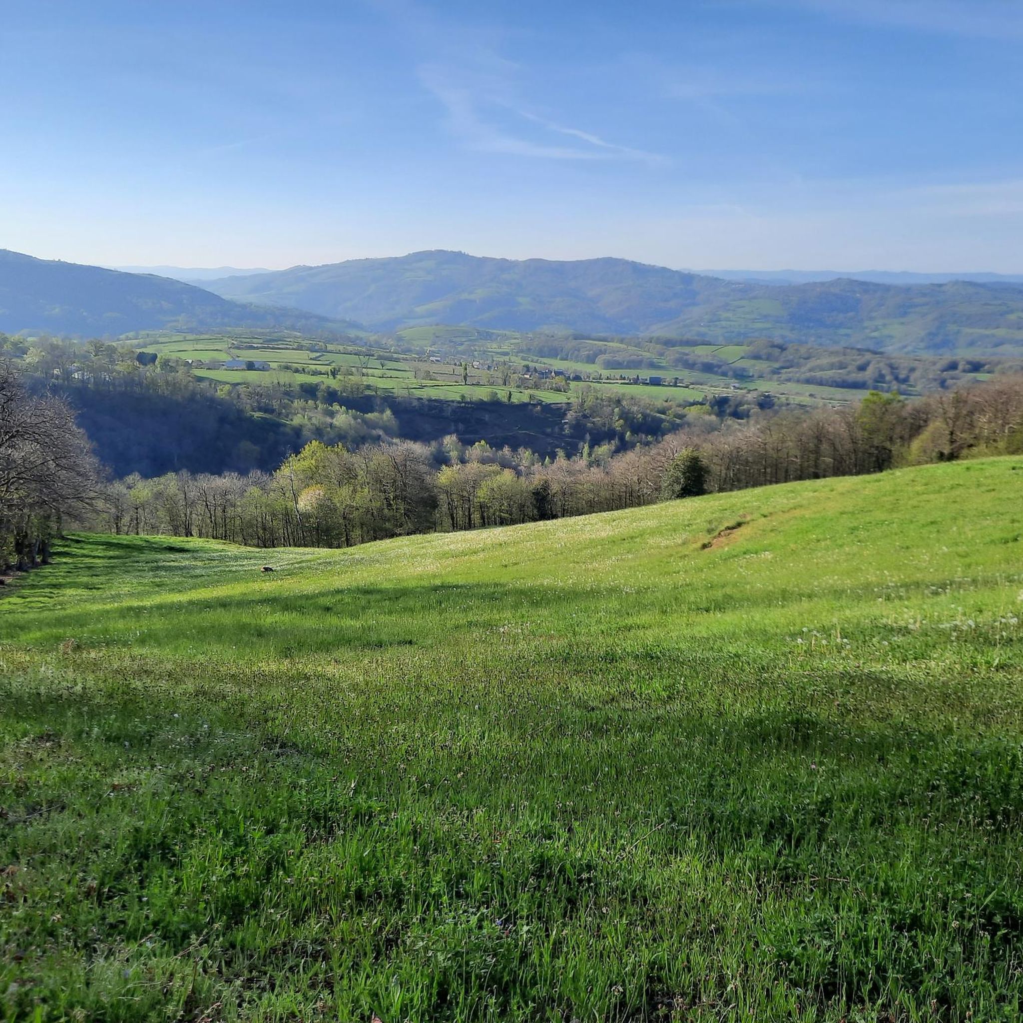
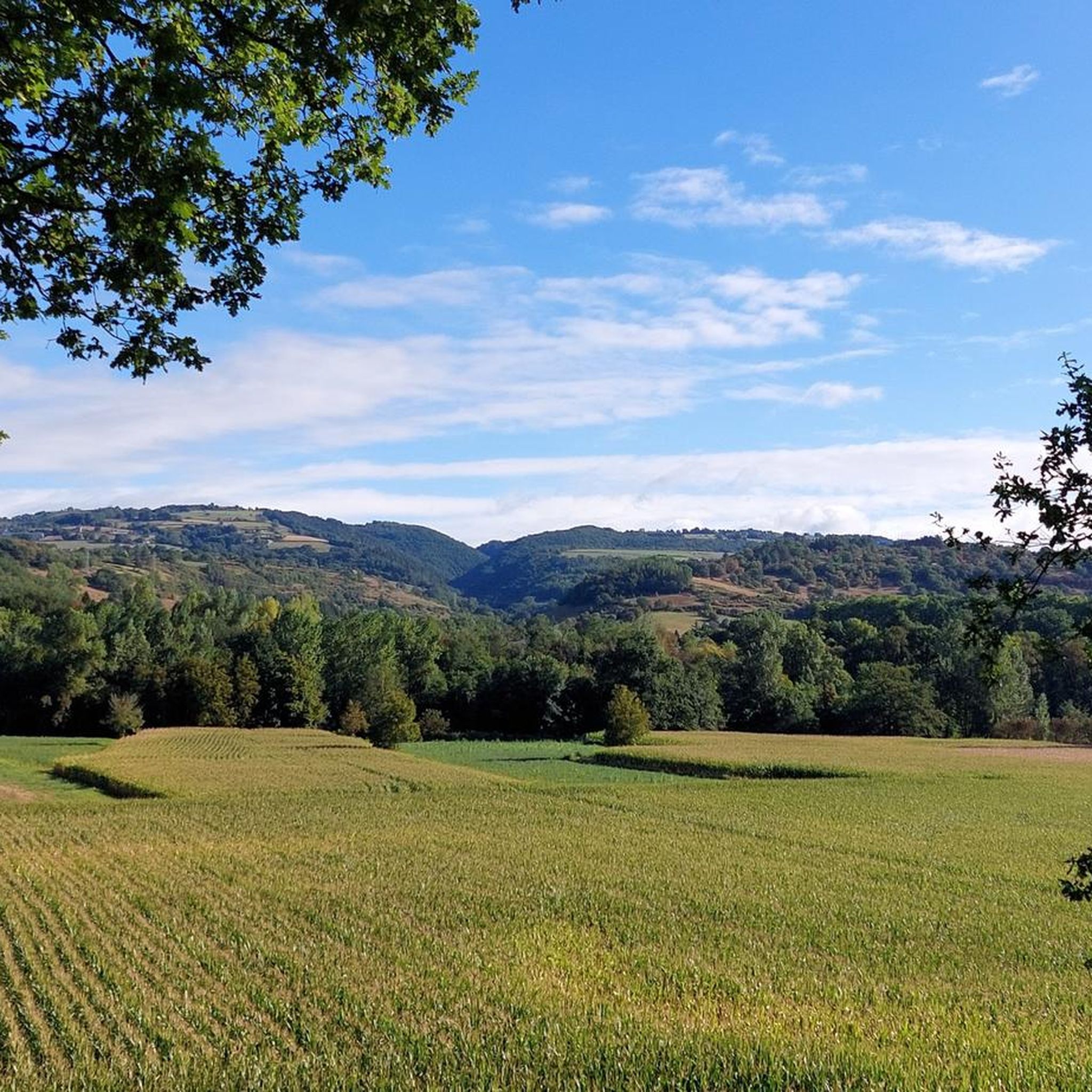
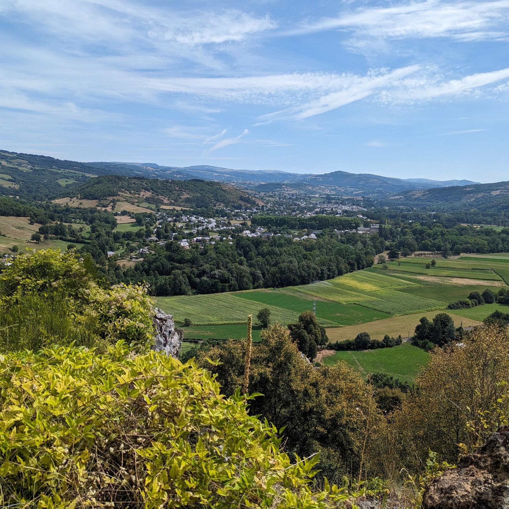
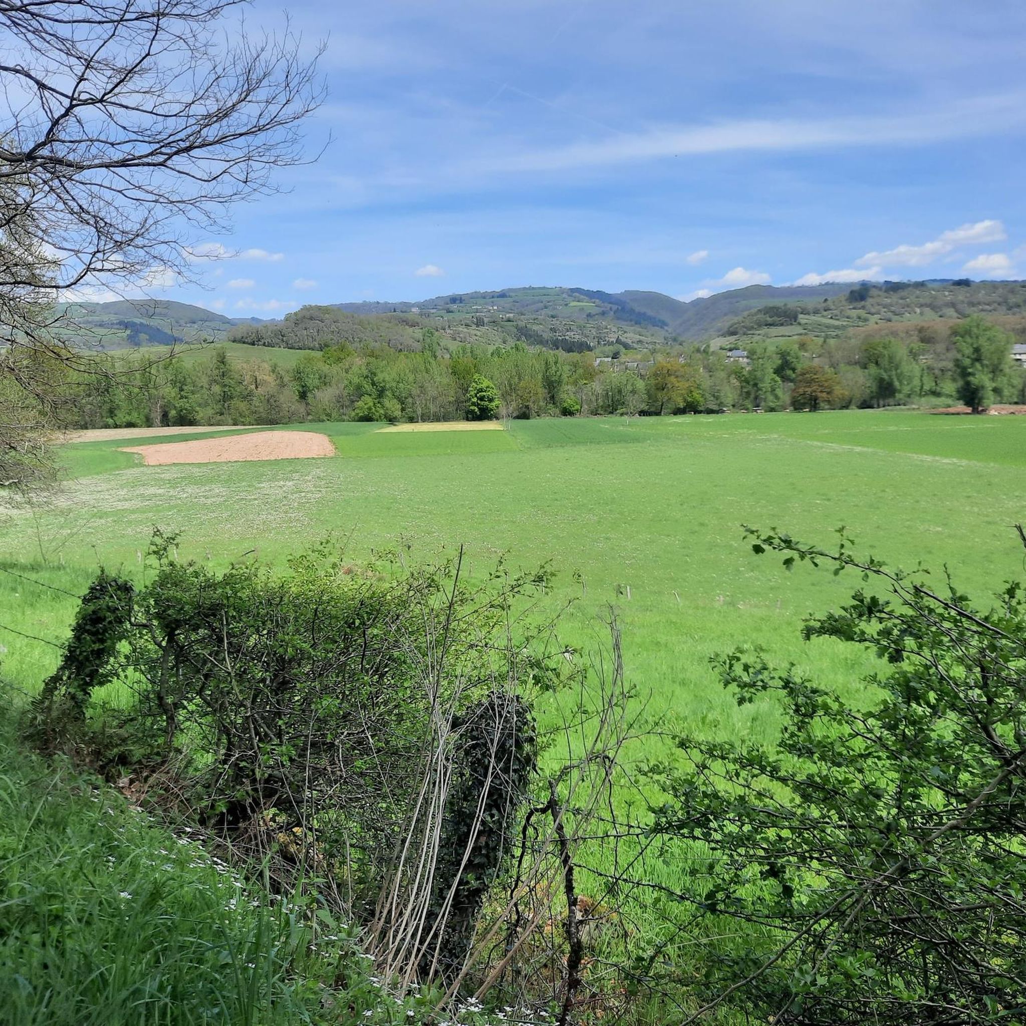
Jogging routes around Saint-Côme-D'Olt traverse a diverse landscape, situated in the Lot Valley at the foot of the Aubrac mountains. The region features deep gorges, impressive cliffs, and dense forests, offering varied terrains for running. Runners can explore paths along the Lot River, through cultivated lands, and onto high plateaus with volcanic features. This area provides a mix of easy paths and challenging routes with significant elevation changes.
Best jogging routes around Saint-Côme-D'Olt
- The most popular jogging route is Saint-Côme…
Last updated: June 26, 2026
4.0
(1)
36
runners
22.4km
02:58
810m
810m
Hard run. Very good fitness required. Mostly paved surfaces. Suitable for all skill levels.
28
runners
Moderate run. Good fitness required. Mostly paved surfaces. Suitable for all skill levels.

Sign up for free
12
runners
15.0km
01:50
430m
430m
Hard run. Very good fitness required. Mostly paved surfaces. Suitable for all skill levels.
11
runners
13.0km
01:41
490m
490m
Hard run. Very good fitness required. Mostly paved surfaces. Suitable for all skill levels.
4.0
(1)
24
runners
Moderate run. Good fitness required. Mostly paved surfaces. Suitable for all skill levels.
Get access to more routes and recommendations from other explorers.
Sign up for free
Already have an account?
Our route recommendations are based on thousands of hikes, rides, and runs completed by other people on komoot.
Start today with a free account
Your next adventure awaits.
Login or Signup


Other adventures around Saint-Côme-D'Olt

Tips from the Community

The greenway is dotted with several viaducts like this one all the way down to Espallion. All in the same style, a journey back in time.
0
0
Saint-Côme is a very pretty village on the banks of the Lot. Admire in particular the bell tower of its church in the shape of a twist, it's a peculiarity of this village!
0
0

The Renaissance building was constructed in 1572 by order of the "noble Bernardin de la Valette," who was tasked by the consuls with the defense of Espalion during the Wars of Religion. Today it is an artists' residence with temporary exhibitions.
0
0

Very beautiful work of art full of history. The view there is magnificent. Its length: 108 meters.
0
0

Good morning, Could we use the photo of Estaing and the Persian church in Espalion to illustrate the Lot V86 valley cycle route on the veloenfrance.fr platform Please confirm by email to: departement12-presidence@ffvelo.fr Claude Clamens
0
1

This pretty town is one of the "Most Beautiful Villages of France". The city has kept its medieval charm thanks to the doors still visible at the entrances, its church with its flamed bell tower and the colorful facades of the buildings around the town.
2
0

Viaduct on the old railway line transformed into a so-called Bertholène greenway, between Bozouls and Espalion. The viaduct, 25 meters high, is equipped for climbing.
1
0

Located on the edge of the river, this village offers a rather unexpected discovery. The village is located more than 200 kilometers from the nearest coast, but it is here that the famous Rouquayrol & Denayrouze regulator was designed, at the origin of the regulator which now equips all divers in the world. The diving suit museum is located in the Saint Jean-Baptiste church. With its red stone façade in the neo-Gothic style, a visit to this atypical museum is a must. A statue of a diver who sometimes has his feet in the water, depending on the flooding of the river, is nearby.
0
0
Frequently Asked Questions
How many running routes are available around Saint-Côme-D'Olt?
There are over 110 diverse running routes around Saint-Côme-D'Olt, catering to various fitness levels. These include 5 easy routes, 68 moderate routes, and 40 challenging trails, offering a wide range of experiences from riverside jogs to demanding climbs in the Aubrac foothills.
Are there any easy or family-friendly jogging routes in Saint-Côme-D'Olt?
Yes, Saint-Côme-D'Olt offers several easy routes suitable for families or beginners. One such option is the Saint-Hilarian-Sainte-Foy loop from Espalion, an easy 2.6 km path with minimal elevation, perfect for a relaxed jog. The Lot Valley also features paths through meadows and cultivated lands that are generally less strenuous.
Can I find circular running routes in the area?
Absolutely. Many of the running routes around Saint-Côme-D'Olt are circular, allowing you to start and finish in the same location. For example, the challenging Saint-Côme d'Olt – Saint-Côme-d'Olt loop from Saint-Côme-d'Olt is a 22.4 km circular trail offering extensive views. Another popular circular option is the moderate Lot – Hôtel de Ville loop from Roucat, which follows the Lot River.
What kind of scenery can I expect on the jogging trails around Saint-Côme-D'Olt?
The region boasts incredibly diverse scenery. You can jog along the serene banks of the Lot River, through picturesque meadows and cultivated lands, or ascend into the foothills of the Aubrac mountains for stunning panoramic views. The area also features unique volcanic landscapes, including sites like the 'Le Temple Volcanic Chimney' and the 'Roquelaure lava flow', adding a distinctive geological element to your run.
Are there any notable landmarks or attractions I can see while running?
Yes, several routes pass by or near significant landmarks. You can explore the medieval village of Saint-Côme-D'Olt itself, with its ancient residences and fortified gateways. Some trails lead to the Pilgrims' Bridge of Saint-Chély-d'Aubrac, a UNESCO World Heritage Site, or offer views of the dramatic Bozouls Canyon. The Saint-Hilarian-Sainte-Foy – Le Temple Volcanic Chimney loop from Espalion takes you through volcanic foothills.
Are dogs allowed on the running trails in Saint-Côme-D'Olt?
Generally, dogs are welcome on trails in the Aveyron region, but it's always recommended to keep them on a leash, especially in agricultural areas, near livestock, or in protected natural spaces. Please ensure you clean up after your pet to maintain the natural beauty of the routes.
What do other runners say about the trails in Saint-Côme-D'Olt?
The running routes in Saint-Côme-D'Olt are highly rated by the komoot community, with an average score of 4.5 stars from over 20 reviews. Runners often praise the varied terrain, the stunning views of the Lot Valley and Aubrac foothills, and the well-maintained paths that offer both challenging climbs and peaceful riverside jogs.
Are there any routes that feature waterfalls?
While not directly on every jogging route, the region does boast natural features like the Gourg d'Enfer Waterfall. You might find routes that pass near or offer detours to such natural monuments, providing a refreshing stop during your run.
What is the best time of year for jogging in Saint-Côme-D'Olt?
Saint-Côme-D'Olt offers pleasant conditions for jogging for much of the year. Spring and autumn provide mild temperatures and vibrant landscapes, ideal for longer runs. Summer can be warm, so early morning or late afternoon runs are preferable. The diverse terrain means you can find suitable routes even in cooler months, though some higher elevation paths might be affected by weather.
Is public transport available to access the jogging routes?
Saint-Côme-D'Olt is a small village, and while local transport options might be limited, it is a stopover on the famous Camino de Santiago (GR65). This long-distance trail offers numerous sections suitable for jogging, which can be accessed from various points. For detailed public transport information, it's best to consult local tourist resources or regional transport websites.
Where can I park my car when accessing the running trails?
Parking is generally available within Saint-Côme-D'Olt village, particularly near the town center or designated public parking areas. Many routes, especially circular ones, often start and end in locations with convenient parking. It's advisable to check specific route details on komoot for recommended starting points and parking information.
Are there any challenging trail running options for experienced runners?
Absolutely. Saint-Côme-D'Olt is at the foot of the Aubrac mountains, offering routes with significant elevation changes and rugged terrain. The Saint-Côme d'Olt – Saint-Côme-d'Olt loop from Saint-Côme-d'Olt is a difficult 22.4 km trail with over 800 meters of elevation gain, providing a substantial challenge. The 'Trail d'Aqui - Saint Côme d'Olt' is also known for its demanding 25.5 km route with 1100m of elevation.
Most popular routes around Saint-Côme-D'Olt
Most popular attractions around Saint-Côme-D'Olt

Get inspired with the komoot mobile app


Explore more
Browse the best Running Trails & Routes in other regions.
