The best walks and hikes around Sainte-Eulalie-D'Olt
4.5
(283)
1,532
hikers
12
hikes
Hiking around Sainte-Eulalie-D'Olt offers diverse terrain in the heart of Aveyron, France. The region is characterized by the River Lot and its valley, providing riverside paths and panoramic views. Trails extend into rolling green hills and flower-filled fields, with the area situated between the Grands Causses regional nature reserve and the foot of the Aubrac mountains. This geographical position provides access to varied landscapes, from valley floors to higher elevations.
Best hiking trails around Sainte-Eulalie-D'Olt
- The most popular hiking route is The Pierrefiche trail - the Bellevue path – loop starting from Sainte-Eulalie-d'Olt – Aubrac Regional Natural Park, a 6.1 miles (9.8 km) trail that takes 2 hours 50 minutes to complete. This moderate route explores the Aubrac Regional Natural Park.
- Another top favourite among local hikers is Tour of Lac de Castelnau-Lassouts-Lous, a difficult 20.1 miles (32.3 km) path. This long route circles the Lac de Castelnau-Lassouts-Lous, offering extensive lakeside and surrounding landscape views.
- Local hikers also love the Sainte-Eulalie-d'Olt loop from Sainte-Eulalie-d'Olt, a 3.5 miles (5.6 km) trail leading through the village surroundings, often completed in about 1 hour 33 minutes.
- Hiking around Sainte-Eulalie-D'Olt is defined by riverside paths along the Lot, rolling green hills, and access to the Aubrac mountains. The network offers options for different ability levels, from easy village loops to challenging long-distance routes.
- The routes in Sainte-Eulalie-D'Olt are highly rated by the komoot community with an average score of 4.5 stars from over 260 reviews. More than 1400 hikers have used komoot to explore Sainte-Eulalie-D'Olt's varied terrain.
Last updated: June 23, 2026
4.3
(16)
33
hikers
Moderate hike. Good fitness required. Mostly accessible paths. Sure-footedness required.
3.8
(4)
8
hikers
32.3km
08:52
510m
510m
Hike the difficult 20.1-mile loop around Lac de Castelnau-Lassouts-Lous, starting from Sainte-Eulalie-d'Olt in Aubrac Regional Natural Park.

Sign up for free
4.3
(15)
49
hikers
9.16km
02:31
140m
140m
Moderate hike. Good fitness required. Easily-accessible paths. Suitable for all skill levels.
4.0
(2)
12
hikers
5.13km
01:22
50m
50m
Easy hike. Great for any fitness level. Easily-accessible paths. Suitable for all skill levels.
5.0
(2)
8
hikers
13.4km
03:47
270m
270m
Moderate hike. Good fitness required. Easily-accessible paths. Suitable for all skill levels.
Get access to more routes and recommendations from other explorers.
Sign up for free
Already have an account?
Our route recommendations are based on thousands of hikes, rides, and runs completed by other people on komoot.
Start today with a free account
Your next adventure awaits.
Login or Signup

Tips from the Community

Classified among the Most Beautiful Villages of France, Sainte-Eulalie-d'Olt is a magnificent village on the banks of the Lot on the southern edge of Aubrac.
0
0

Saint-Geniez-d'Olt is a former French commune located in the department of Aveyron, in the Occitanie region, which became, on January 1, 2016, a commune delegated to the new commune of Saint-Geniez-d'Olt-et- from Aubrac
0
0
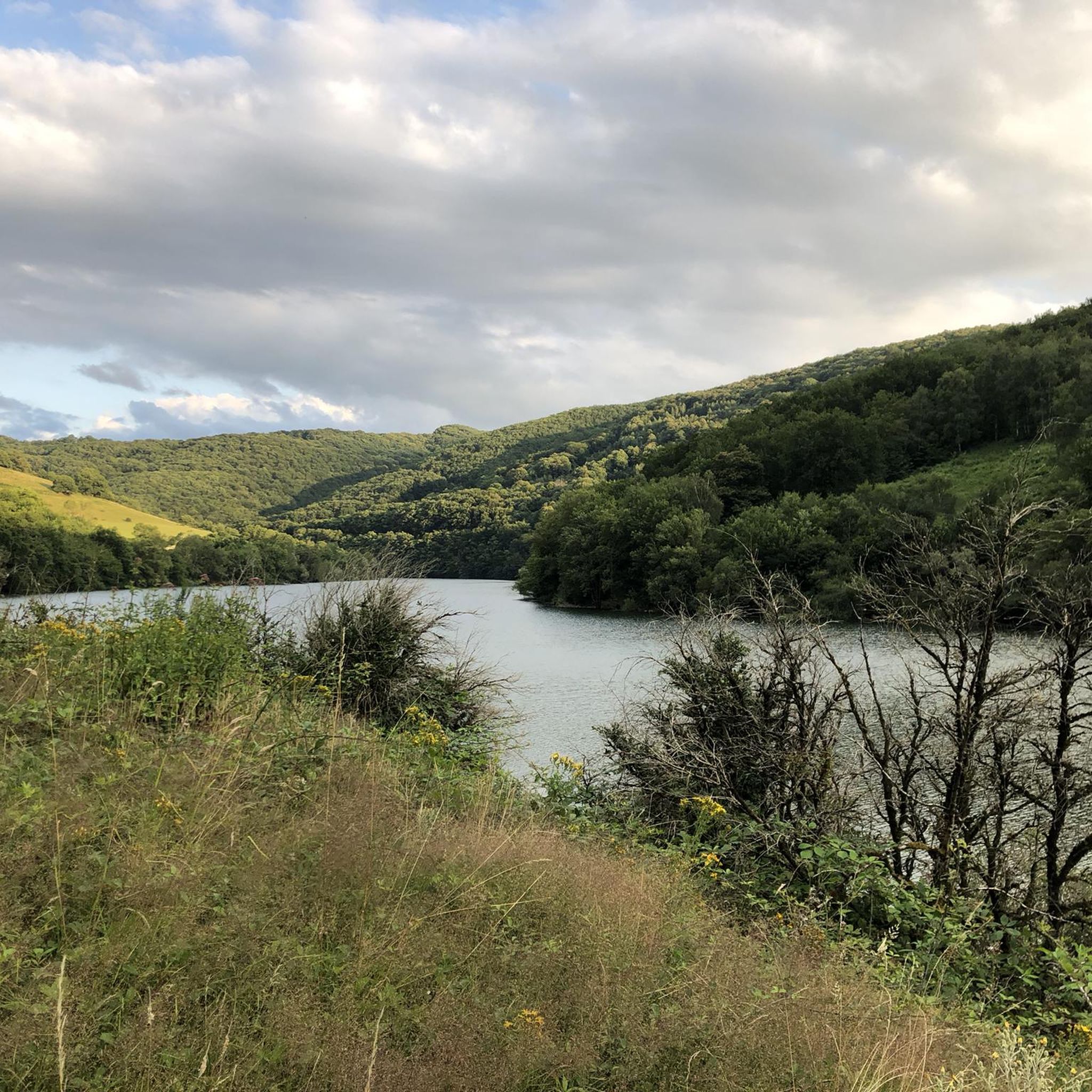
The Castelnau-Lassouts dam is a concrete gravity type dam built between 1941 and 1947 and it forms the largest reservoir on the Lot.
0
0

The town is a paradise for nature activities due to its location on the edge of the Lot and at the foot of Aubrac. It also enjoys a beautiful architectural heritage with the cloister of the convent, its church and private mansions. In short, it is a pleasant place for a break.
1
0
The place called Les Pessoles allows you to cross the Mardonenque stream on a magnificent stone bridge.
0
0
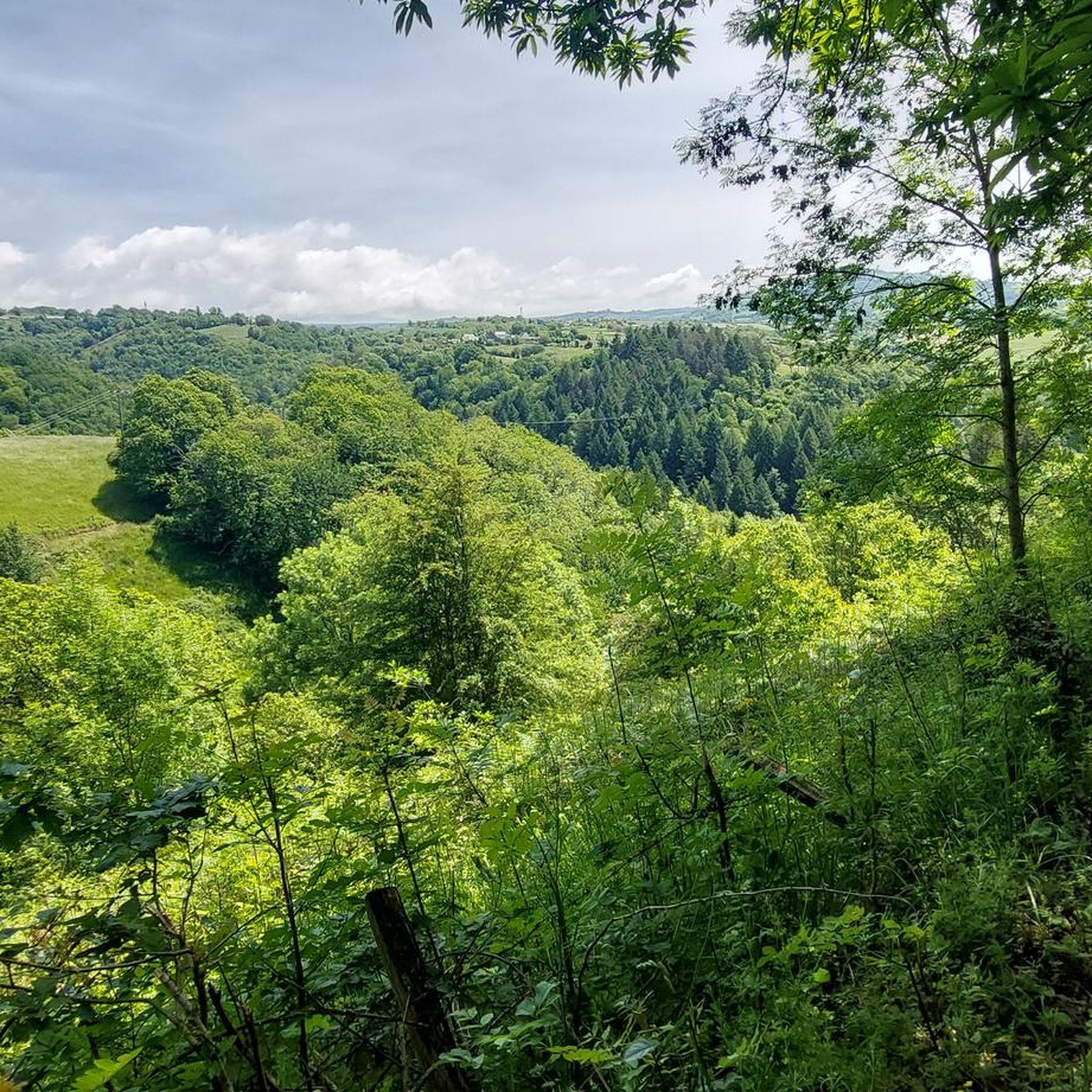
The Trepalou site offers an exceptional view of Sainte-Eulalie and Saint-Geniez d'Olt and Aubrac.
0
0
Sainte-Eulalie-d'Olt is classified among the Most Beautiful Villages of France. Strolling through the streets of this medieval city is a real pleasure.
1
0
The Castelnau-Lassouts reservoir is the largest reservoir on the Lot. If its main function is the production of electricity, it is obviously an essential tourist site.
0
0
Frequently Asked Questions
What types of hiking trails can I expect around Sainte-Eulalie-D'Olt?
The region offers a diverse range of trails, from leisurely riverside paths along the Lot to routes through rolling green hills and flower-filled fields. You'll also find trails leading towards the Aubrac mountains, providing varied landscapes and elevations. There are 12 routes in total, catering to different ability levels.
Are there any easy or family-friendly hiking options in Sainte-Eulalie-D'Olt?
Yes, there are several easy options suitable for families or those looking for a relaxed walk. For instance, the Sainte-Eulalie-d'Olt loop from Sainte-Eulalie-d'Olt is an easy 5.6 km trail that takes about 1 hour 33 minutes, exploring the village surroundings. Another easy option is the Sainte-Eulalie-d'Olt – Sainte-Eulalie-d'Olt loop from Sainte-Eulalie-d'Olt, which is 5.2 km long.
What are some longer or more challenging hikes available?
For experienced hikers seeking a challenge, the Tour of Lac de Castelnau-Lassouts-Lous is a difficult 32.3 km path, offering extensive views around the lake and surrounding landscape. This route typically takes over 8 hours to complete.
Can I find circular hiking routes starting from Sainte-Eulalie-D'Olt?
Absolutely. Many trails in the area are designed as loops. A popular moderate circular route is The Pierrefiche trail - the Bellevue path – loop starting from Sainte-Eulalie-d'Olt – Aubrac Regional Natural Park, covering 9.8 km in about 2 hours 50 minutes. There are also shorter loops like the Sainte-Eulalie-d'Olt loop from Sainte-Eulalie-d'Olt.
What natural features or landmarks can I see while hiking in the area?
Hikers can enjoy the picturesque River Lot and its valley, rolling green hills, and views towards the Aubrac mountains. The region is also home to interesting geological formations like the Volcanic Rock Slide. You'll also encounter charming medieval villages and historical sites.
Are there any historical villages or points of interest nearby that I can visit?
Yes, Sainte-Eulalie-D'Olt itself is recognized as one of France's loveliest villages, with its cobbled streets and traditional limestone houses. Nearby, you can explore other medieval villages such as Saint-Côme d'Olt and Saint-Geniez-d'Olt, which offer further historical and architectural discoveries, including tort churches and castles.
What do other hikers enjoy most about hiking in Sainte-Eulalie-D'Olt?
The hiking routes in Sainte-Eulalie-D'Olt are highly rated by the komoot community, with an average score of 4.5 stars from over 260 reviews. Hikers frequently praise the diverse terrain, from riverside paths to mountain views, and the opportunity to explore the unspoiled natural beauty of the Lot Valley and the Aubrac Regional Natural Park.
Is Sainte-Eulalie-D'Olt a good starting point for exploring the wider region?
Yes, Sainte-Eulalie-D'Olt is an excellent base. It's situated between the Grands Causses regional nature reserve and the foot of the Aubrac mountains, offering access to a variety of terrains. You can find more information about the Upper Lot Valley on the Aveyron tourism website: tourisme-aveyron.com.
What is the best time of year to go hiking in Sainte-Eulalie-D'Olt?
The region's rolling green hills and flower-filled fields suggest that spring and summer would be particularly beautiful for hiking, offering lush landscapes. Autumn would also provide pleasant temperatures and potentially vibrant foliage. While specific seasonal advice isn't detailed, the diverse terrain makes it suitable for outdoor activities across multiple seasons.
Are there any specific trails that offer panoramic views?
Many trails in the region provide panoramic views, especially those that ascend into the rolling green hills or towards the Aubrac mountains. The Lot Valley itself offers picturesque backdrops. Routes that circle the Castelnau-Lassouts-Lous lake, such as the Tour of Lac de Castelnau-Lassouts-Lous, are known for extensive lakeside and surrounding landscape views.
Can I combine hiking with other outdoor activities in the area?
Absolutely. The River Lot, which flows through the village, facilitates other outdoor pursuits like canoeing, kayaking, stand-up paddleboarding, and fishing. This allows for a diverse outdoor experience beyond just hiking.
Most popular routes around Sainte-Eulalie-D'Olt
Most popular attractions around Sainte-Eulalie-D'Olt

Get inspired with the komoot mobile app


Explore more
Browse the best Hikes in other regions.
