The best road cycling routes around Fresse-Sur-Moselle
4.6
(573)
24,238
riders
23
rides
Road cycling around Fresse-Sur-Moselle is characterized by its mountainous terrain, featuring significant climbs and scenic passes within the Vosges region. The area includes challenging ascents to peaks like Ballon d'Alsace and Ballon de Servance, alongside more accessible routes along river valleys. The landscape transitions from dense forests to open mountain vistas, offering varied gradients for road cyclists.
Best road cycling routes around Fresse-Sur-Moselle
- The most popular road cycling route is Col du Ballon d'Alsace – Ballon d'Alsace loop from Fresse-sur-Moselle…
Last updated: October 9, 2026
4.8
(46)
4,258
riders
82.8km
04:49
2,000m
2,000m
Hard road ride. Very good fitness required. Mostly well-paved surfaces and easy to ride.
4.9
(11)
345
riders
59.1km
03:21
1,330m
1,330m
Hard road ride. Very good fitness required. Mostly well-paved surfaces and easy to ride.

4.8
(6)
186
riders
82.5km
04:48
2,010m
2,010m
Hard road ride. Very good fitness required. Mostly well-paved surfaces and easy to ride.
4.5
(23)
228
riders
48.3km
01:54
170m
170m
Easy road ride. Great for any fitness level. Mostly well-paved surfaces and easy to ride.
4.5
(2)
136
riders
Moderate road ride. Good fitness required. Mostly well-paved surfaces and easy to ride.
Get access to more routes and recommendations from other explorers.
Already have an account?
Our route recommendations are based on thousands of hikes, rides, and runs completed by other people on komoot.
Start today with a free account
Your next adventure awaits.
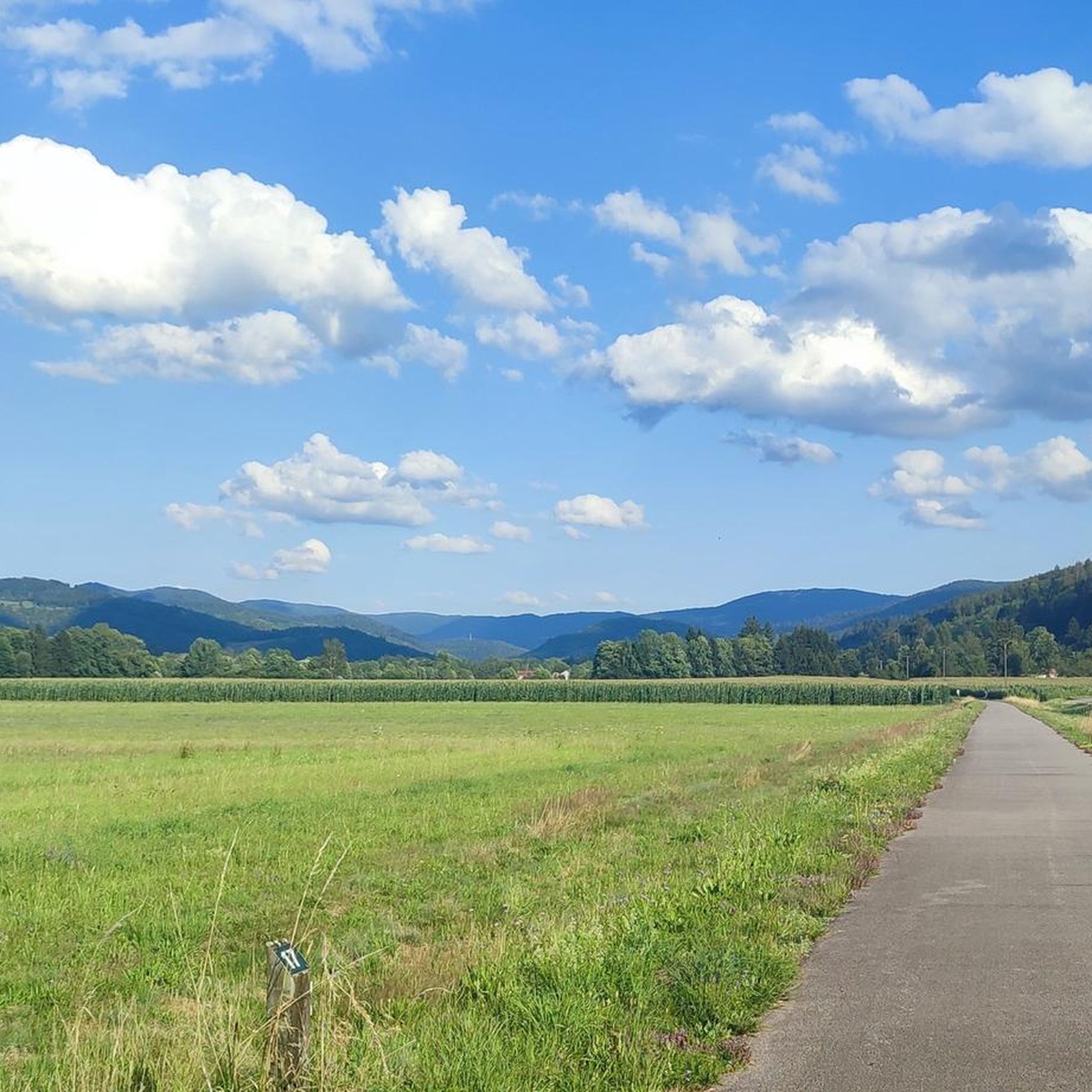
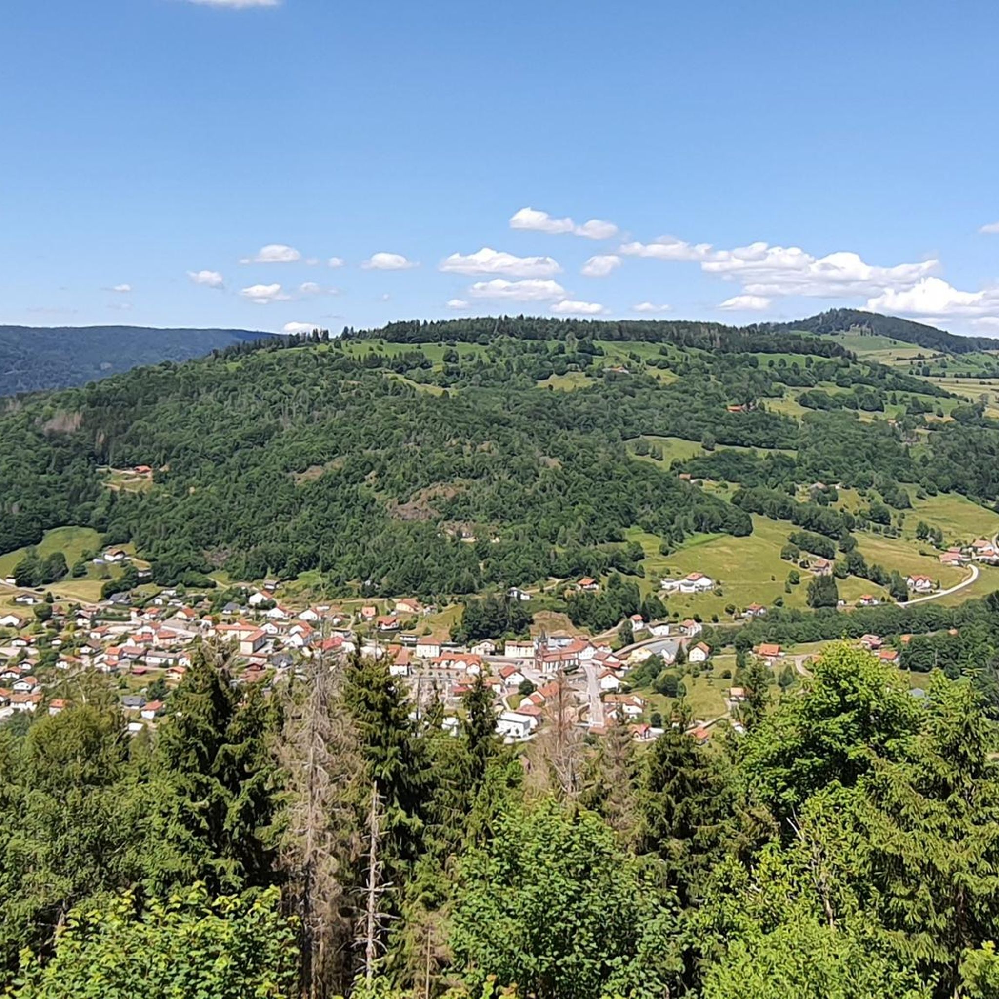
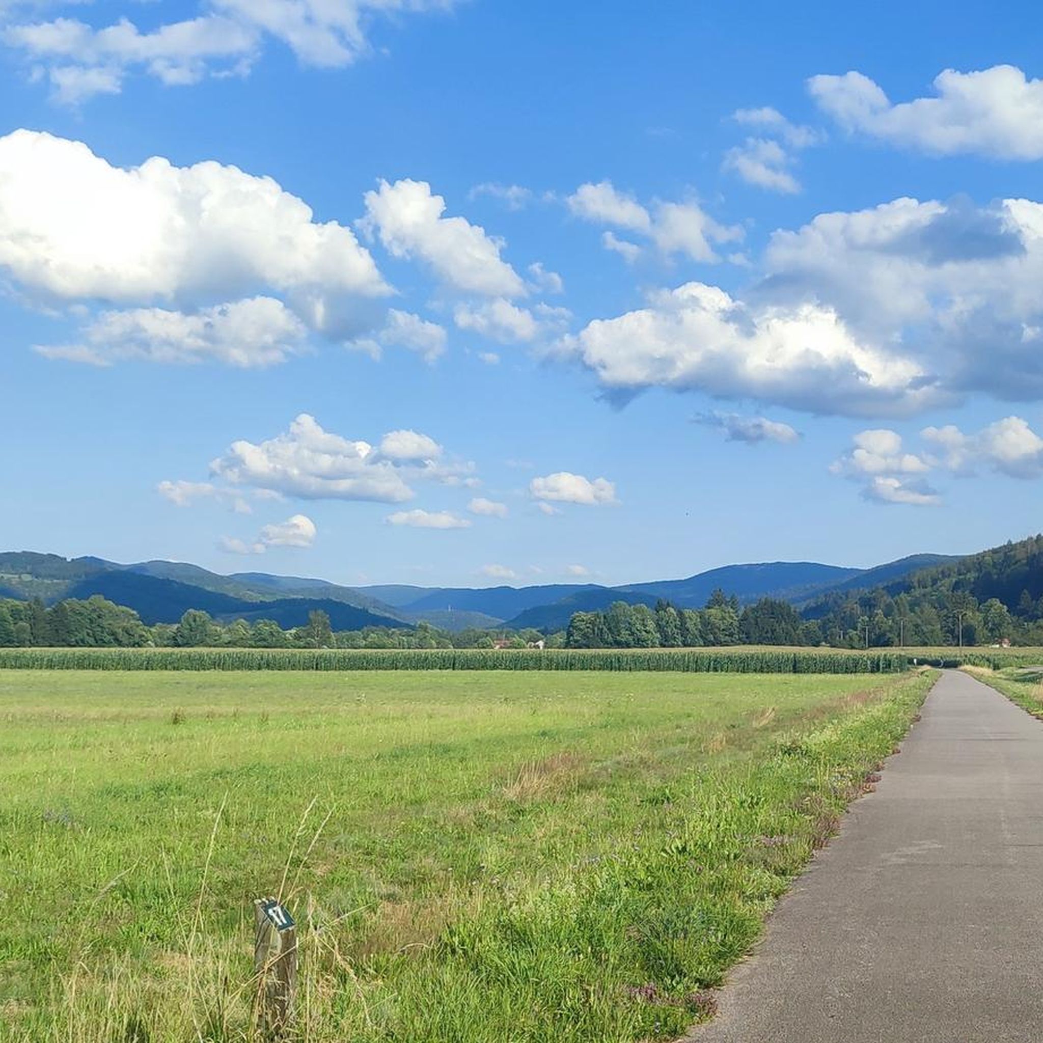
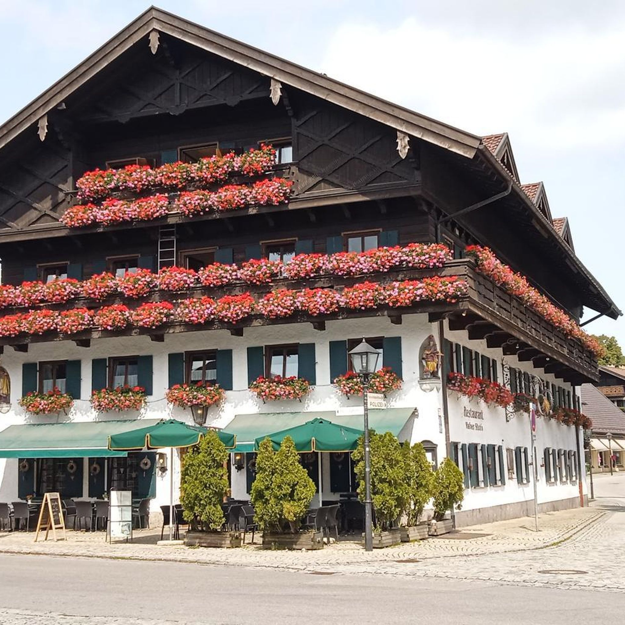

Tips from the Community

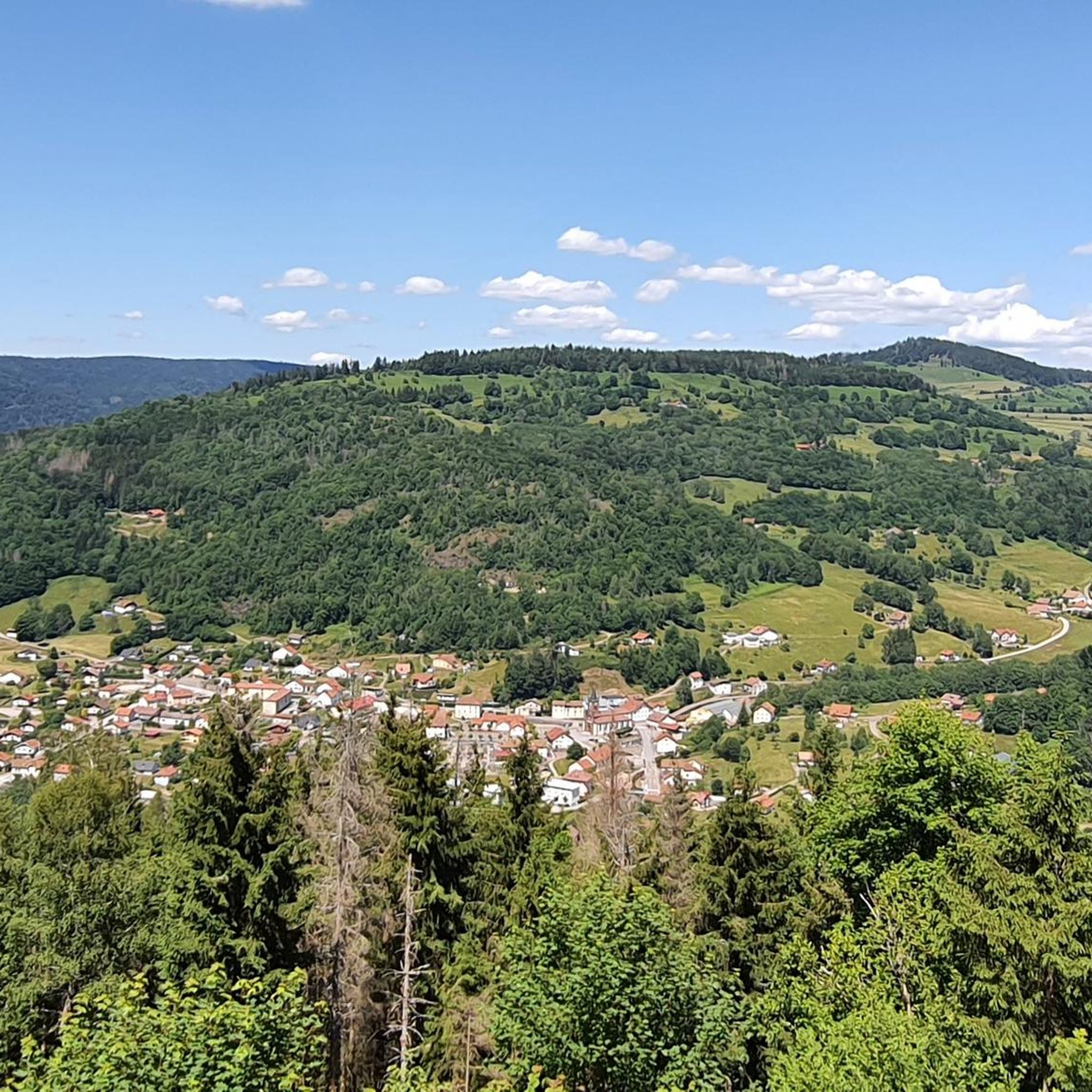
The center of Le Thillot lies in the valley of the Moselle and forms a small but lively village heart. On the Place du 8 Mai stands the 19th-century Église Saint-Jean-Baptiste, surrounded by bakeries, cafés, and local shops. It is a compact, well-organized center with a mix of Vosges architecture, daily amenities, and a quiet village atmosphere. The bakery facade caught my attention.
7
0
De Col des Croix is a 679-meter-high mountain pass in the French Vogezen massif, located on the border of the Vosges and Haute-Saône departments. The pass forms an accessible connecting road (the D486) between the northern Le Thillot and the southern Servance. At the top, you will find the well-known Le Chalet Snack du Col des Croix, and the road splits towards the D16 (Route des Forts), the route that continues to the higher Ballon de Servance.
6
0
The end of the climb is somewhat disappointing. There is nothing marked. No photo opportunity. You have a small parking lot, a closed military road, and a picnic spot well hidden under the trees. At the two yellow signs (mainly for hikers) there is the only indication that you are at the Ballon de Servance and at 1158 m. The climb is "cozy". No cars, completely shaded, a few kilometer markers.
7
0
From Plancher‑Bas, a long, quiet forest climb begins towards the Ballon de Servance, deep in the Parc naturel régional des Ballons des Vosges. Over more than 18 kilometers, you gain almost 900 meters in altitude, but the real height difference is in the final kilometers: there, stretches of 5 to 12% steadily push you upwards through dense, shady forest. The road is narrow, quiet, and feels purely natural — a climb where you get completely into rhythm. At the top, there is no classic viewpoint, but an open space near the military area: sober, quiet, and precisely for that reason so typical of Servance.
7
0
La Planche des Belles Filles is a 5.8 kilometer climb. It is a category 1 climb. It is located in Plancher Les Mines, Franche-Comté, France. The average gradient of this climb is 8.6% with a maximum of 13.6%. La Planche des Belles Filles climbs from 527 meters at the start to 1,033 meters at the summit, for a total elevation gain of 506 meters.
7
0
This 5.9-kilometer climb from the village of Plancher-les-Mines in Haute-Saône is one of the most difficult in the Vosges. Indeed, cyclists who want to try it will need to be at least somewhat trained. With a gradient of 24% towards the end of the route, it's better to be well-attached. The gradient never seems to ease, with its hairpin bends and, upon reaching the resort, the last 2 kilometers rise like a wall. However, you'll be able to say that you've done it, so come and try the climb of La Planche too!
8
0

Frequently Asked Questions
What kind of terrain can I expect when road cycling around Fresse-sur-Moselle?
Road cycling in the Fresse-sur-Moselle area is characterized by its mountainous terrain within the Vosges region. You'll encounter significant climbs to scenic passes like Ballon d'Alsace and Ballon de Servance, as well as more accessible routes along river valleys. The landscape varies from dense forests to open mountain vistas, offering diverse gradients for cyclists.
Are there road cycling routes suitable for beginners or families in Fresse-sur-Moselle?
Yes, Fresse-sur-Moselle offers routes suitable for various skill levels, including easier options. For a more relaxed ride, consider the Voie Verte des Hautes Vosges – Bike path loop from Fresse-sur-Moselle. This 29.9-mile (48.2 km) trail follows a dedicated greenway, making it a good choice for beginners or families looking for a less challenging experience.
What are some challenging road cycling routes for experienced riders?
Experienced road cyclists will find plenty of challenging ascents in the region. Routes like the Ballon de Servance – La Planche des Belles Filles loop from Fresse-sur-Moselle offer substantial elevation gain and tackle well-known mountain passes, providing a demanding ride through the Vosges mountains.
What is the best time of year for road cycling in Fresse-sur-Moselle?
The best time for road cycling in Fresse-sur-Moselle is generally from late spring through early autumn (May to October). During these months, the weather is typically milder, and mountain passes are clear of snow, offering optimal conditions for exploring the region's diverse terrain. Summer provides warm temperatures, ideal for longer rides.
Are there any circular road cycling routes available?
Yes, many of the road cycling routes around Fresse-sur-Moselle are designed as loops. For example, the Descent to Ramonchamp – Ménil Pass (621 m) loop from Saint-Maurice-sur-Moselle is a moderate 39.6-kilometer (24.6 miles) circular route that allows you to start and finish in the same location.
What kind of scenic viewpoints or natural attractions can I find along the routes?
The region is rich in natural beauty. Along your rides, you might encounter stunning viewpoints overlooking the Vosges mountains. The area also features several beautiful lakes, such as Lake Alfeld and Lac des Perches (Star Lake), as well as picturesque waterfalls like the Rummel Waterfalls and the Champe Waterfalls.
How long do road cycling routes typically take to complete in this area?
Route durations vary significantly based on distance and elevation gain. Easier routes, like the Voie Verte des Hautes Vosges – Bike path loop, can take around 1 hour 52 minutes. More challenging routes, such as the Col des Croix – Ballon de Servance loop, might require over 2 hours to complete, depending on your pace and fitness level.
What do other road cyclists say about the routes around Fresse-sur-Moselle?
The road cycling routes around Fresse-sur-Moselle are highly regarded by the komoot community, holding an average rating of 4.3 stars from over 80 reviews. Cyclists often praise the varied terrain, from challenging mountain passes to serene river valleys, and the well-maintained paths that offer a rewarding experience.
Are there options for shorter or longer road cycling distances?
Yes, the routes cater to a range of distances. You can find shorter, moderate rides like the Descent to Ramonchamp – Ménil Pass (621 m) loop, which is about 39.6 kilometers (24.6 miles). For longer excursions, routes such as the Col du Ballon d'Alsace – Ballon d'Alsace loop extend to over 80 kilometers (50 miles), offering an all-day adventure.
Are there any specific passes or climbs that are popular among road cyclists?
Absolutely. The Vosges region is famous for its challenging mountain passes. The Col du Ballon d'Alsace and Ballon de Servance are particularly popular and feature in some of the most iconic road cycling loops from Fresse-sur-Moselle, attracting riders seeking significant elevation gains and panoramic views.
How many road cycling routes are available in the Fresse-sur-Moselle area?
There are over 15 road cycling routes documented on komoot for the Fresse-sur-Moselle area, offering a wide variety of options for different skill levels and preferences. These include easy, moderate, and difficult trails, ensuring there's something for every road cyclist.
Most popular routes around Fresse-Sur-Moselle
Most popular attractions around Fresse-Sur-Moselle

Get inspired with the komoot mobile app


Explore more
Browse the best Road cycling routes in other regions.
