The best cycling routes around Villars-Le-Sec
4.6
(221)
2,113
riders
149
rides
Touring cycling routes around Villars-Le-Sec are situated within the Jura Mountains, characterized by diverse landscapes and varied terrain. The region features sub-alpine ranges, limestone formations, and extensive forests, providing a mix of rolling hills and picturesque valleys. Cyclists can expect routes that traverse these natural settings, offering a range of challenges.
Best touring cycling routes around Villars-Le-Sec
- The most popular touring cycling route is Place Raymond Forni, Delle – Bourgogne Canal Pathway loop from Boncourt, a 15.0 miles (24.1…
Last updated: June 24, 2026
15
riders
53.9km
04:28
720m
720m
Hard bike ride. Very good fitness required. You may need to push your bike for some segments of this route.
8
riders
35.4km
03:17
610m
610m
Hard bike ride. Very good fitness required. You may need to push your bike for some segments of this route.

Sign up for free
5
riders
38.0km
02:24
390m
390m
Moderate bike ride. Good fitness required. Mostly paved surfaces. Suitable for all skill levels.
5.0
(1)
4
riders
15.4km
01:05
160m
160m
Moderate bike ride. Good fitness required. Mostly paved surfaces. Suitable for all skill levels.
5.0
(1)
4
riders
20.7km
01:30
260m
260m
Moderate bike ride. Good fitness required. Mostly paved surfaces. Suitable for all skill levels.
Get access to more routes and recommendations from other explorers.
Sign up for free
Already have an account?
Our route recommendations are based on thousands of hikes, rides, and runs completed by other people on komoot.
Start today with a free account
Your next adventure awaits.
Login or Signup
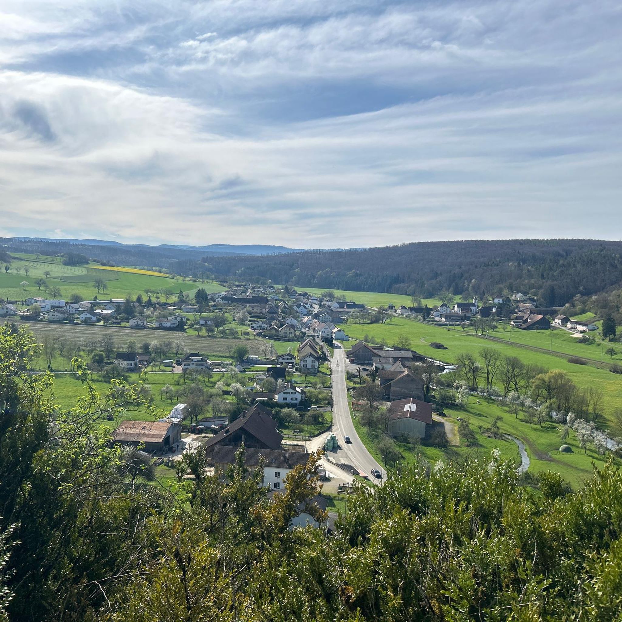
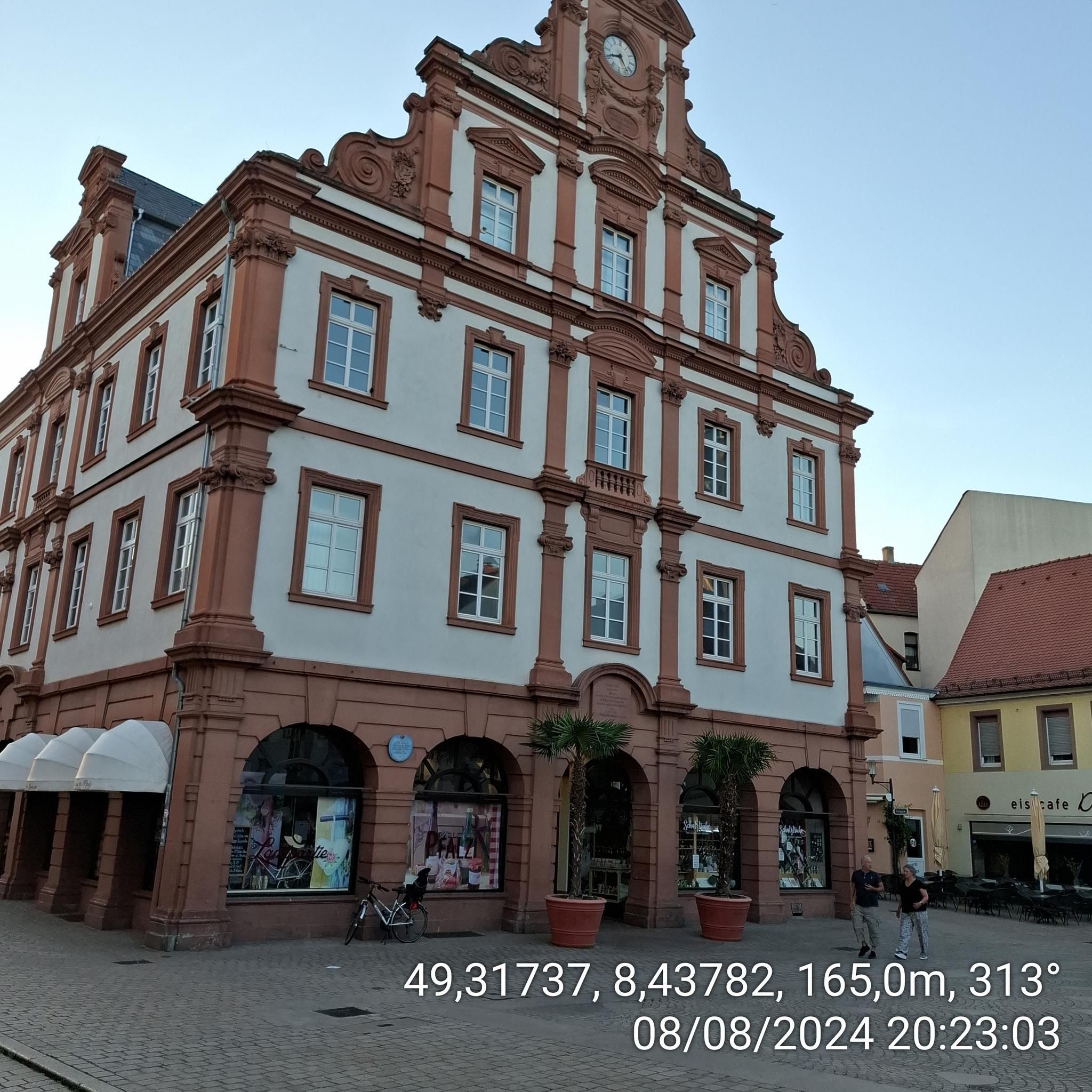
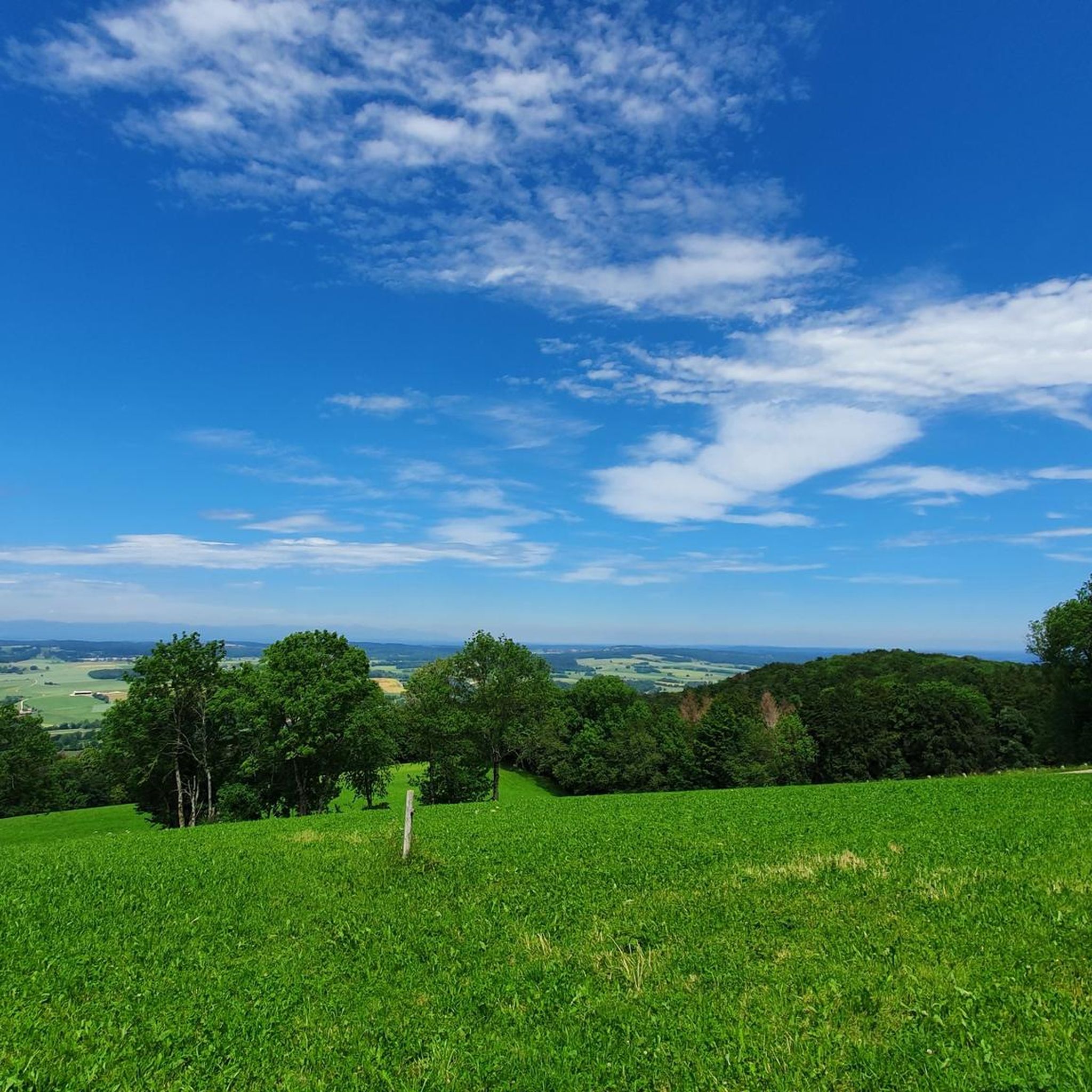
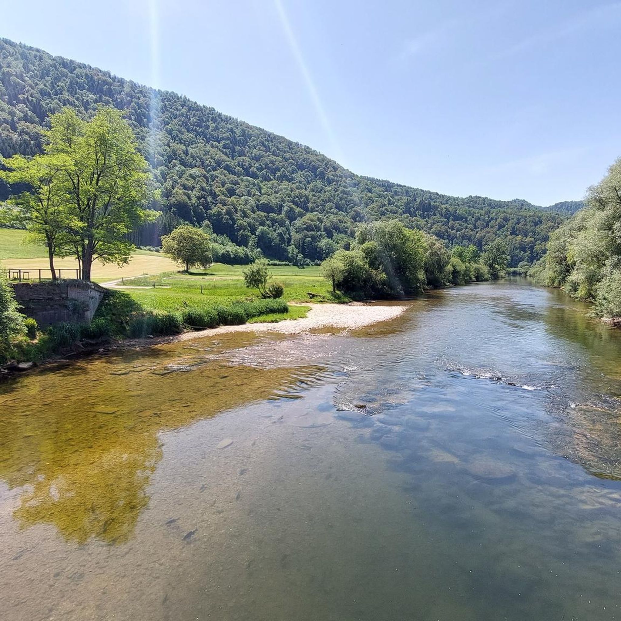
Tips from the Community

Observation tower with a great view of the Vosges Mountains and the Swiss Jura.
2
0

The original church of the lower village parish was dedicated to the Virgin Mary and then to Saint Anthony the Hermit, but in 1842, Father Acker established Saint Geron as the main patron saint. In 1802, the two parishes of Pfetterhouse were united, and there was only one church. The current bell tower was built in 1900 by the architect Alexandre Louvat from Mulhouse. The old furnishings were gradually replaced. This church is the only one in Alsace to have Saint Geron as its patron saint.
1
0

Pfetterhouse is located in the southernmost part of Alsace, near the Swiss border, and marks the symbolic starting point of the Western Front in World War I. During the Battle of Alsace in August 1914, French troops took the village. From that moment on, Pfetterhouse became the official Kilometre 0 point of the front line, which then stretched for almost 750 km to the North Sea. In the village centre, you will find the Église Saint-Géréon, a neo-Gothic church from 1884 with a rare 16th-century Pietà and a striking tower. The old railway line, now a cycle path, is also a reminder of the past.
9
0
This 7.5 km loop takes you through the wooded border area around Pfetterhouse, where the borders of France, Germany and Switzerland met from 1871 to 1914. During the First World War, the Western Front began here at border post 111, the official Kilometre Zero. Along the path you will discover restored bunkers, observation posts and boundary stones of the French, German and Swiss lines. A unique journey through a landscape where neutrality, conflict and memory come together.
8
0
A surprising piece of heritage in the heart of Pfetterhouse. This neo-Gothic church from 1884 is unique in Alsace: it is dedicated to Saint Gereon, a rare patron saint in this region. The church combines historical charm with a peaceful setting and houses an impressive 16th-century Pietà in polychrome wood.
7
0
A wonderfully flat and car-free cycle path on a former railway line in the south of Alsace. This route follows the route of the old Largtalbahn and winds through the peaceful Largue valley. Perfectly paved and surrounded by greenery, this is an ideal route for touring without traffic. Along the way you pass charming villages, small bridges and old railway relics.
7
0

The sculptures are beautifully crafted and transport you back to your childhood. You immediately start discussing fairy tales from the past.
0
0

Source: Wikipedia article The Mont Renaud observation tower is located in the municipality of Boncourt in the canton of Jura. The observation tower was built in 2001. The steel/wooden tower is about 15 meters high. 60 steps lead to the observation platform at a height of 12 meters. The platform offers a view over the various hills of the Jura to the Vosges. The observation tower can be reached from Boncourt in about 15 minutes
0
1
Frequently Asked Questions
How many touring cycling routes are available around Villars-Le-Sec?
There are over 160 touring cycling routes in the Villars-Le-Sec area, offering a wide range of options for different skill levels and preferences. You'll find everything from easy canal-side rides to challenging mountain passes.
What kind of terrain can I expect on touring cycling routes in Villars-Le-Sec?
The terrain around Villars-Le-Sec, situated in the Jura Mountains, is quite diverse. You can expect a mix of rolling hills, picturesque valleys, and more challenging mountainous sections with significant elevation gain. The region is characterized by sub-alpine ranges, limestone formations, and extensive forests, providing varied landscapes for your ride.
Are there any easy touring cycling routes suitable for beginners or casual riders?
Yes, there are over 20 easy touring cycling routes. A great option for a gentle ride is the Place Raymond Forni, Delle – Bourgogne Canal Pathway loop from Boncourt, which is 24.1 km long and follows a canal pathway, offering a relatively flat and scenic experience.
What are some challenging touring cycling routes for experienced riders?
For experienced riders seeking a challenge, there are over 70 difficult routes. Consider the Forges Trail – Saint-Géréon Church loop from Boncourt, a 53.8 km trail with substantial elevation gain through forested areas and past historical sites. Another demanding option is the Shadoof well – View of Roche-d'Or loop from Saint-Dizier-l'Évêque, which covers 47.2 km with over 800 meters of ascent.
Are there any touring cycling routes that pass by interesting natural features or landmarks?
Many routes in the region offer scenic views and pass by notable natural and historical sites. For example, the Courcelles – Uberstrass Water Wheel loop from Buix features varied terrain and passes by the Uberstrass Water Wheel. You might also encounter highlights like the Doue Spring or the Pont Sarrazin Natural Arch on some routes.
What historical or cultural attractions can I explore while cycling around Villars-Le-Sec?
The region offers several historical and cultural points of interest. Routes can take you past sites such as the Porrentruy Castle, the Saint-Léger Church, or the Cantonal High School Porrentruy. These offer opportunities to combine your ride with a glimpse into the local heritage.
What do other touring cyclists say about the routes in Villars-Le-Sec?
The touring cycling routes around Villars-Le-Sec are highly rated by the komoot community, with an average score of 4.6 stars from nearly 200 reviews. Over 2000 touring cyclists have used komoot to explore the varied terrain, often praising the diverse landscapes and the range of options available for different abilities.
Are there any circular touring cycling routes available?
Yes, many of the touring cycling routes around Villars-Le-Sec are designed as loops, allowing you to start and finish at the same point. Examples include the Bison Park – Mont Renaud Observation Tower loop from Boncourt, which is a difficult 35.4 km ride, and the easy Place Raymond Forni, Delle – Bourgogne Canal Pathway loop from Boncourt.
What is the best time of year for touring cycling in Villars-Le-Sec?
The Jura Mountains region, where Villars-Le-Sec is located, offers pleasant cycling conditions during spring, summer, and early autumn. These seasons typically provide milder weather and lush scenery, making for an enjoyable experience. Always check local weather forecasts before heading out.
Are there routes suitable for families or those looking for a less strenuous ride?
Absolutely. With over 20 easy routes, there are plenty of options for families or those preferring a relaxed pace. The canal pathways, like those found on the Place Raymond Forni, Delle – Bourgogne Canal Pathway loop from Boncourt, are generally flat and well-suited for a leisurely family outing.
Can I find routes that offer viewpoints or scenic vistas?
Yes, the mountainous terrain of the Jura region means many routes offer stunning viewpoints. While specific named viewpoints are not always on every route, the varied landscape with its sub-alpine ranges and extensive forests provides numerous opportunities for panoramic views, especially on routes with significant elevation gain like the Bison Park – Mont Renaud Observation Tower loop from Boncourt.
Most popular routes around Villars-Le-Sec
Most popular attractions around Villars-Le-Sec

Get inspired with the komoot mobile app


Explore more
Browse the best Cycling routes in other regions.
