The best walks and hikes around Curières
4.5
(855)
5,335
hikers
136
hikes
Hiking around Curières provides access to diverse natural landscapes within the Aveyron department of southern France. The region is characterized by the expansive Aubrac Plateau, featuring forests, summer pastures, and numerous streams. Notable natural features include the Devèz Waterfall and the Boralde Flaujaguèse river. This area offers a variety of terrains for outdoor activities, particularly hiking.
Best hiking trails around Curières
- The most popular hiking route is Cascade du Devèz and Fosse à loup - short loop - Aubrac regional…
Last updated: June 30, 2026
4.5
(27)
144
hikers
Easy hike. Great for any fitness level. Easily-accessible paths. Suitable for all skill levels.
4.8
(4)
27
hikers
Hard hike. Very good fitness required. Easily-accessible paths. Suitable for all skill levels.

Sign up for free
4.7
(23)
134
hikers
10.7km
03:04
260m
260m
Moderate hike. Good fitness required. Easily-accessible paths. Suitable for all skill levels.
4.7
(20)
124
hikers
11.8km
03:22
280m
280m
Moderate hike. Good fitness required. Easily-accessible paths. Suitable for all skill levels.
4.5
(14)
110
hikers
4.06km
01:11
110m
110m
Easy hike. Great for any fitness level. Easily-accessible paths. Suitable for all skill levels.
Get access to more routes and recommendations from other explorers.
Sign up for free
Already have an account?
Our route recommendations are based on thousands of hikes, rides, and runs completed by other people on komoot.
Start today with a free account
Your next adventure awaits.
Login or Signup

Tips from the Community

A place worth seeing, I'll go inside tomorrow. Okay, only worth seeing from a distance, the church on the hill is quite pretty. But the large main road and the huge parking lot in the city center didn't encourage me to take a longer break. I've seen other beautiful places.
0
0

Beautiful waterfall, few people visit it. Calm.
0
0

30 meters high, the Devèz waterfall is also called the "Salt de la Gleiso" waterfall, named after a nearby cave. The clear waters of the Dourtigouse stream flow from the top of the volcanic rock, offering this magnificent spectacle to walkers.
0
0

Nice view of the town of Laguiole via a short, easy family hike.
0
0
Small easy hike to do with the family, with a nice little waterfall.
1
0

Laguiole is renowned for its knives but it is also a pretty village whose several buildings recall its rich history. The view from the Saint-Matthieu church at the top of the hill is also magnificent.
0
0
The exact origin of the Château du Bousquet is uncertain (13th or 14th century) but one thing is certain: this castle is magnificent and extremely well preserved.
0
0
Frequently Asked Questions
How many hiking trails are available around Curières?
There are over 140 hiking trails documented around Curières, offering a wide range of options for all skill levels. This includes approximately 35 easy routes, 89 moderate excursions, and 20 more challenging long-distance treks.
Are there any hikes that feature waterfalls near Curières?
Yes, the region is home to the impressive Devèz Waterfall, which stands approximately thirty meters high. Several routes incorporate this natural highlight, such as the easy Cascade du Devèz and Fosse à loup - short loop, or the moderate Panorama loop from Cascade du Devèz.
What kind of natural landscapes and viewpoints can I expect on hikes in Curières?
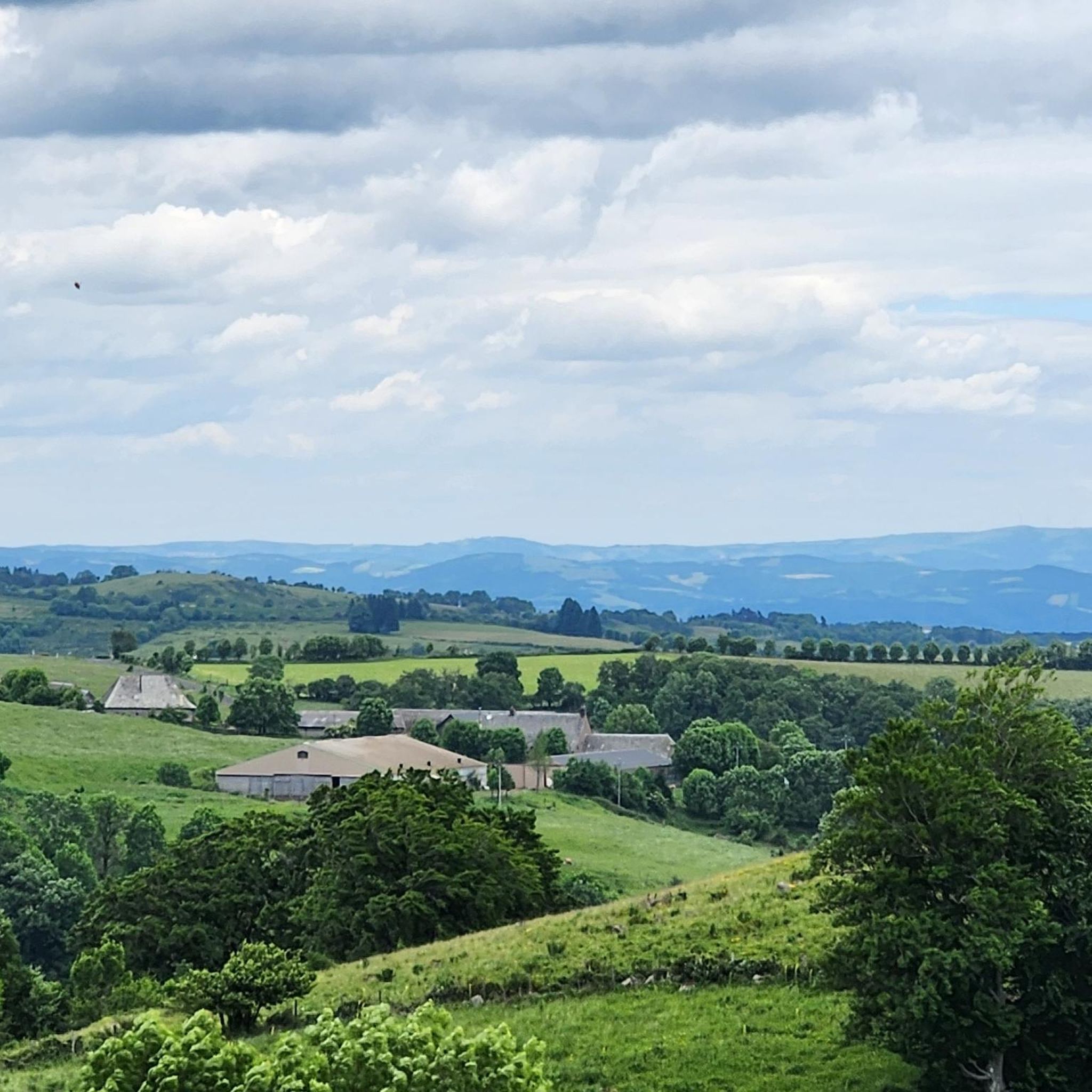
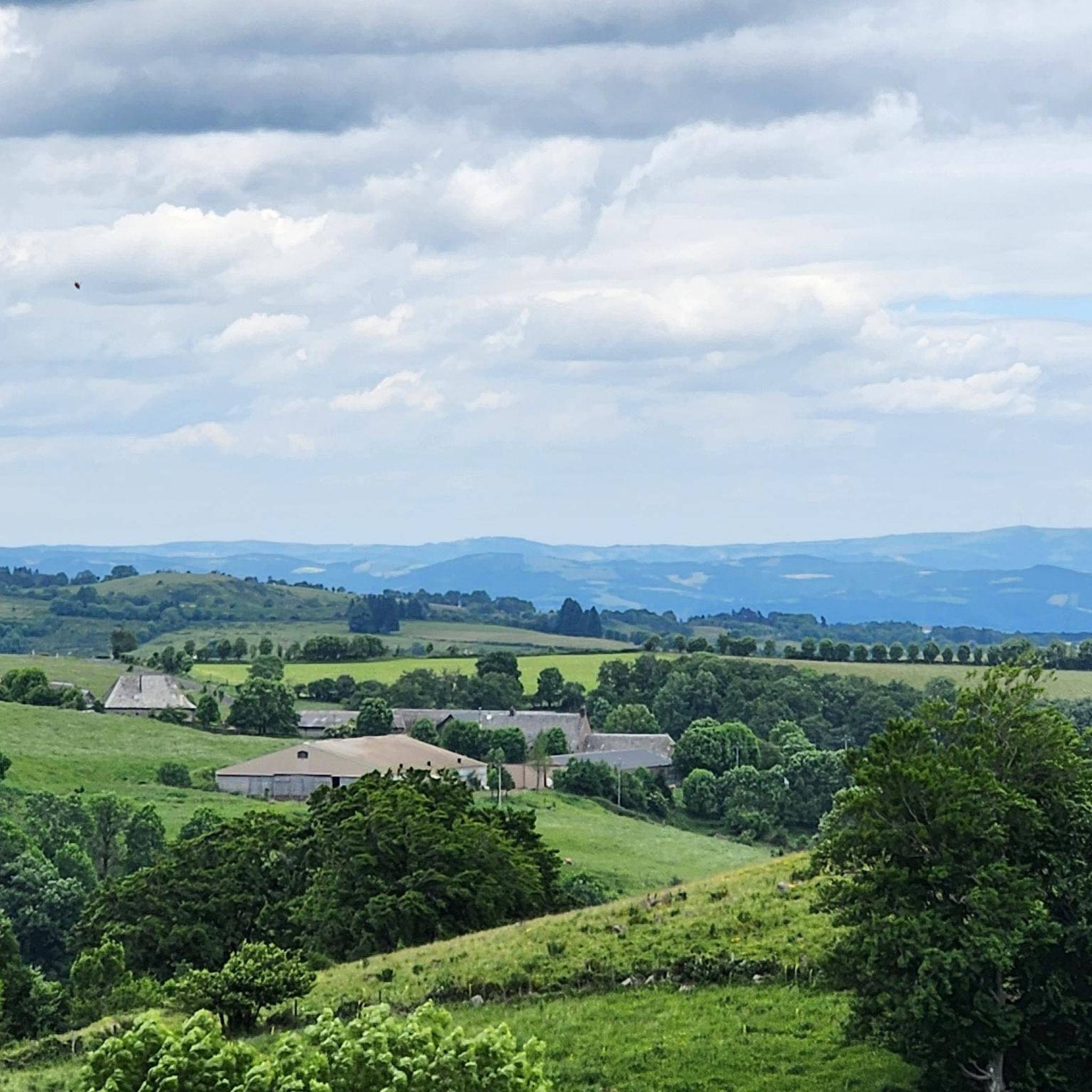
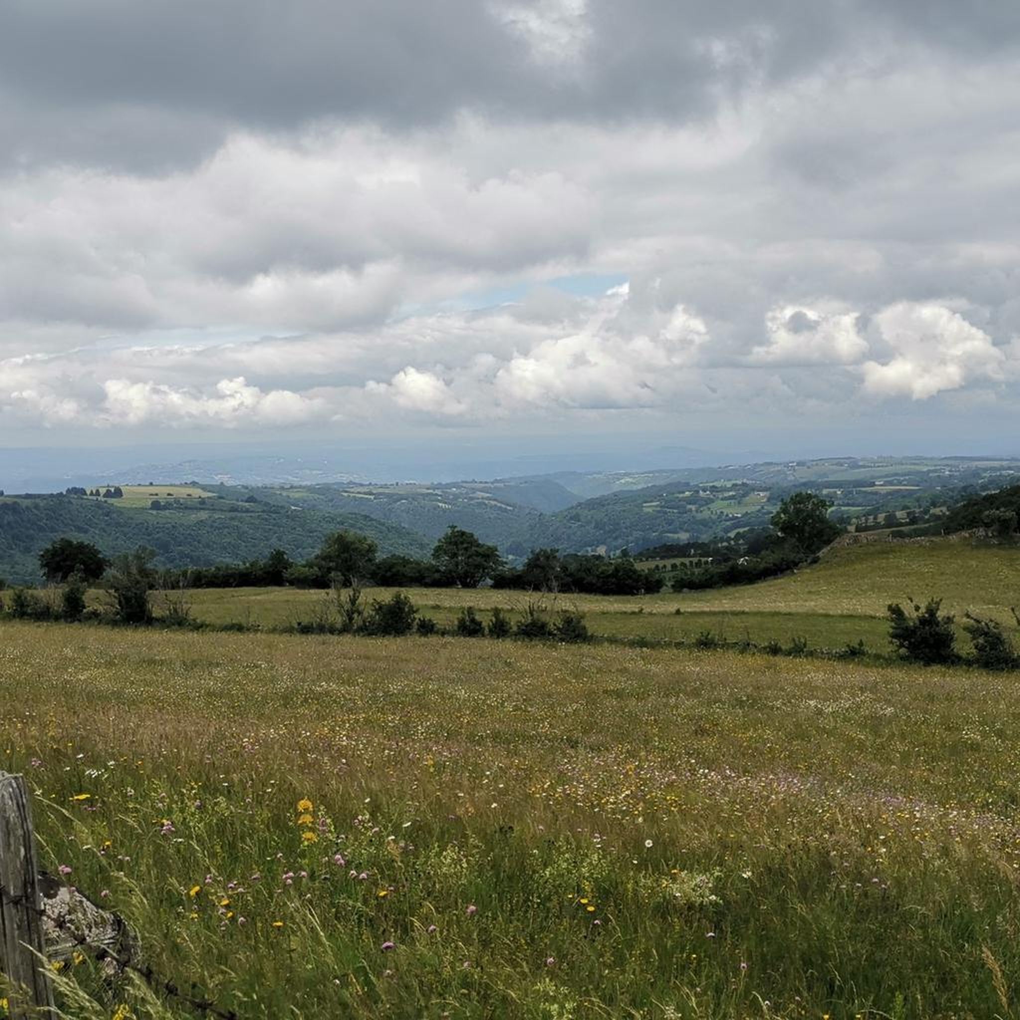
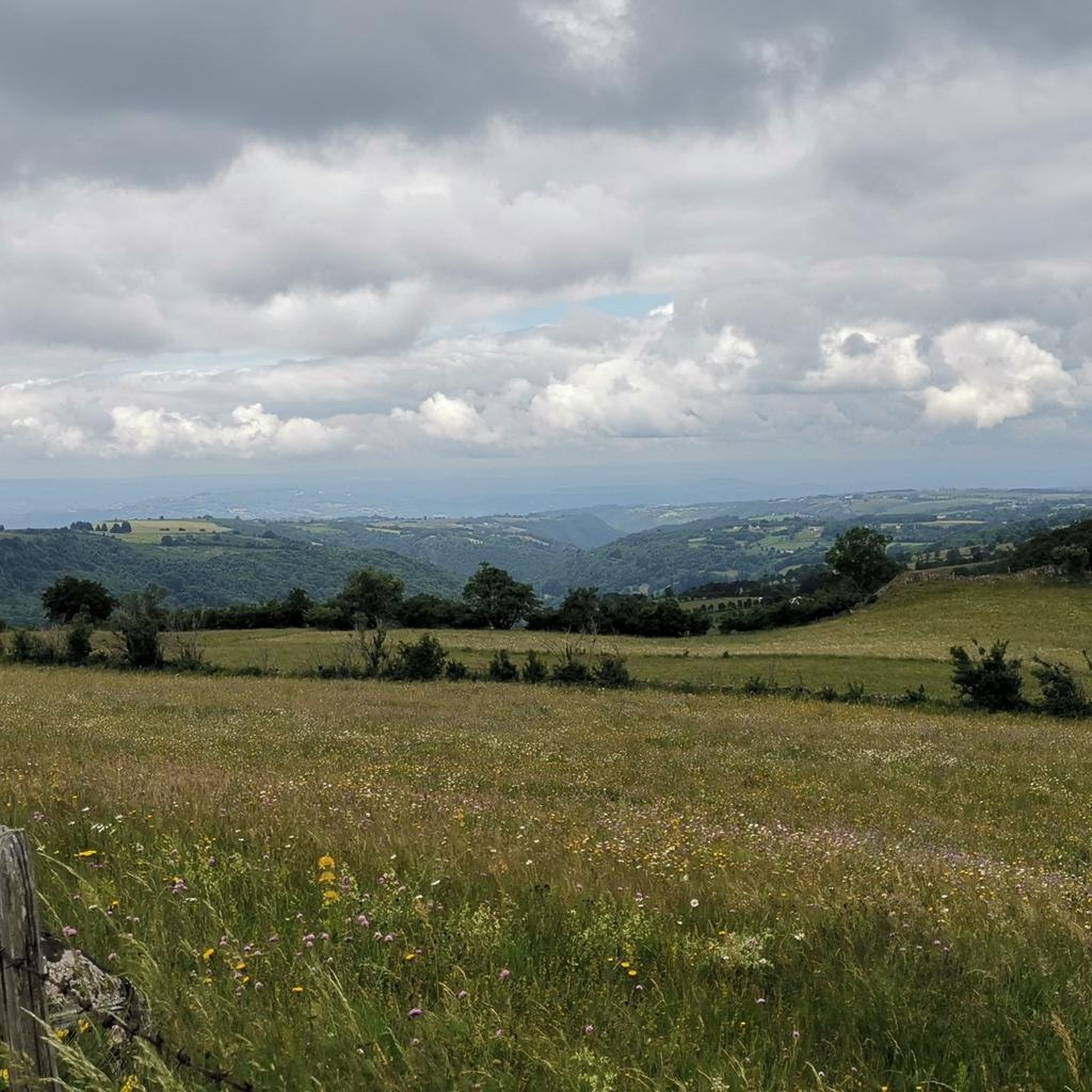
Hikes around Curières primarily explore the vast Aubrac Plateau, a volcanic landscape known for its expansive summer pastures and dense forests. You'll encounter picturesque views across valleys like the Nuech Valley, numerous streams, and the Boralde Flaujaguèse river. Many trails offer panoramic vistas, especially from higher points like Puech du Roussillon.
Are there family-friendly hiking options in Curières?
Absolutely. Curières offers around 35 easy hiking routes suitable for families. These trails often feature gentle gradients and shorter distances, allowing for an enjoyable outdoor experience for all ages. The Cascade du Devèz and Fosse à loup - short loop is a popular easy option.
Can I bring my dog on hikes around Curières?
Many trails in the Curières area, particularly within the Aubrac Regional Natural Park, are dog-friendly. It's generally recommended to keep dogs on a leash, especially when passing through pastures with livestock or in protected natural areas, to ensure the safety of both your pet and local wildlife.
What historical or cultural landmarks can I discover while hiking near Curières?
The region is rich in history. Hikers can encounter sites like the UNESCO World Heritage-listed Pilgrims' Bridge of Saint-Chély-d'Aubrac, a 16th-century bridge over the Boralde that is part of the Camino de Santiago. You might also pass by historic churches such as Sainte-Marie d'Aubrac Church or Notre-Dame-des-Pauvres Church, Aubrac.
Are there many circular hiking routes in the Curières area?
Yes, the Curières region offers numerous circular hiking routes, perfect for day trips. Examples include the Panorama loop from Cascade du Devèz and the Panorama – Devèz Waterfall loop from Montplaisir, which provide varied terrain and scenic views without requiring a return trip along the same path.
What is the best time of year for hiking in Curières?
The best time for hiking in Curières is typically from spring through autumn. During these seasons, the weather is generally pleasant, and the summer pastures are vibrant. While winter offers opportunities for snowshoeing, many hiking trails may be covered in snow, especially on the Aubrac Plateau.
Is parking available at trailheads, and is public transport an option for reaching hikes in Curières?
Parking is generally available at common trailheads and village centers throughout the Curières region, especially near popular starting points for routes. Public transport options are more limited in this rural area, so planning your journey by car is often the most convenient way to access a wider range of hiking trails.
Are there challenging long-distance hikes available for experienced hikers?
Yes, for experienced hikers seeking a challenge, Curières and the surrounding Aubrac Regional Natural Park offer several difficult long-distance routes. An example is the Le Bousquet - Laguiole – loop starting from Laguiole, which spans over 19 kilometers and involves significant elevation changes, providing a demanding exploration of the plateau.
What do other hikers say about the trails around Curières?
The hiking trails around Curières are highly regarded by the komoot community, with an average rating of 4.5 stars from over 790 reviews. Hikers frequently praise the diverse natural landscapes, the tranquility of the forests, and the stunning panoramic views across the Aubrac Plateau.
Are there hikes that follow rivers or pass by lakes in the Curières region?
Yes, the landscape around Curières features several water bodies. Many trails wind alongside the Boralde Flaujaguèse river and its numerous streams, often crossing charming small stone bridges. You can also find circuits around picturesque spots like Lac des Galens, offering serene waterside walking experiences.
Most popular attractions around Curières

Get inspired with the komoot mobile app


Explore more
Browse the best Hikes in other regions.
