The best cycling routes around Gouttières
4.6
(22)
165
riders
65
rides
Touring cycling routes around Gouttières, situated in the Combrailles region of Puy-de-Dôme, offer diverse landscapes for exploration. The area is characterized by its rural charm, featuring approximately 30% woodland coverage and several small streams that feed into the Sioule River. Elevations range from 590 meters to over 800 meters in the Côterue forest, providing varied terrain. Its proximity to the Chaîne des Puys also contributes to the region's distinct volcanic geology and scenic vistas.
Best touring cycling routes around Gouttières
…Last updated: July 1, 2026
4.0
(1)
11
riders
33.3km
02:33
760m
760m
Hard bike ride. Very good fitness required. Mostly paved surfaces. Suitable for all skill levels.
5.0
(1)
6
riders
46.0km
03:00
600m
600m
Hard bike ride. Very good fitness required. Mostly paved surfaces. Suitable for all skill levels.

Sign up for free
5.0
(1)
5
riders
33.8km
02:26
620m
620m
Hard bike ride. Very good fitness required. Mostly paved surfaces. Suitable for all skill levels.
4.0
(1)
5
riders
18.5km
01:10
230m
230m
Moderate bike ride. Good fitness required. Mostly paved surfaces. Suitable for all skill levels.
4.0
(2)
5
riders
32.9km
02:14
520m
520m
Hard bike ride. Very good fitness required. Mostly paved surfaces. Suitable for all skill levels.
Get access to more routes and recommendations from other explorers.
Sign up for free
Already have an account?
Our route recommendations are based on thousands of hikes, rides, and runs completed by other people on komoot.
Start today with a free account
Your next adventure awaits.
Login or Signup

Tips from the Community


Wonderful wooden statues made from large logs appear to be created in the nearby field.
0
0
Beautiful old bridge. The bridge's base is completely paved with cobblestones.
0
0

It is not a Roman bridge but a Romanesque bridge and that makes a substantial difference of a few centuries!
0
0


"Its objective was to monitor the Sioule valley and the Menat bridge, an important crossing point. A motte-and-bailey castle was built on the site in the 9th century. (Wikipedia). A must-see site, of course. Dangerous area (risk of falling rocks). This building has been reinforced, and still seems to be undergoing consolidation work. A few signs explain the role of the castle, as well as the project. Venturing beyond the barriers is a risk for you.
1
0

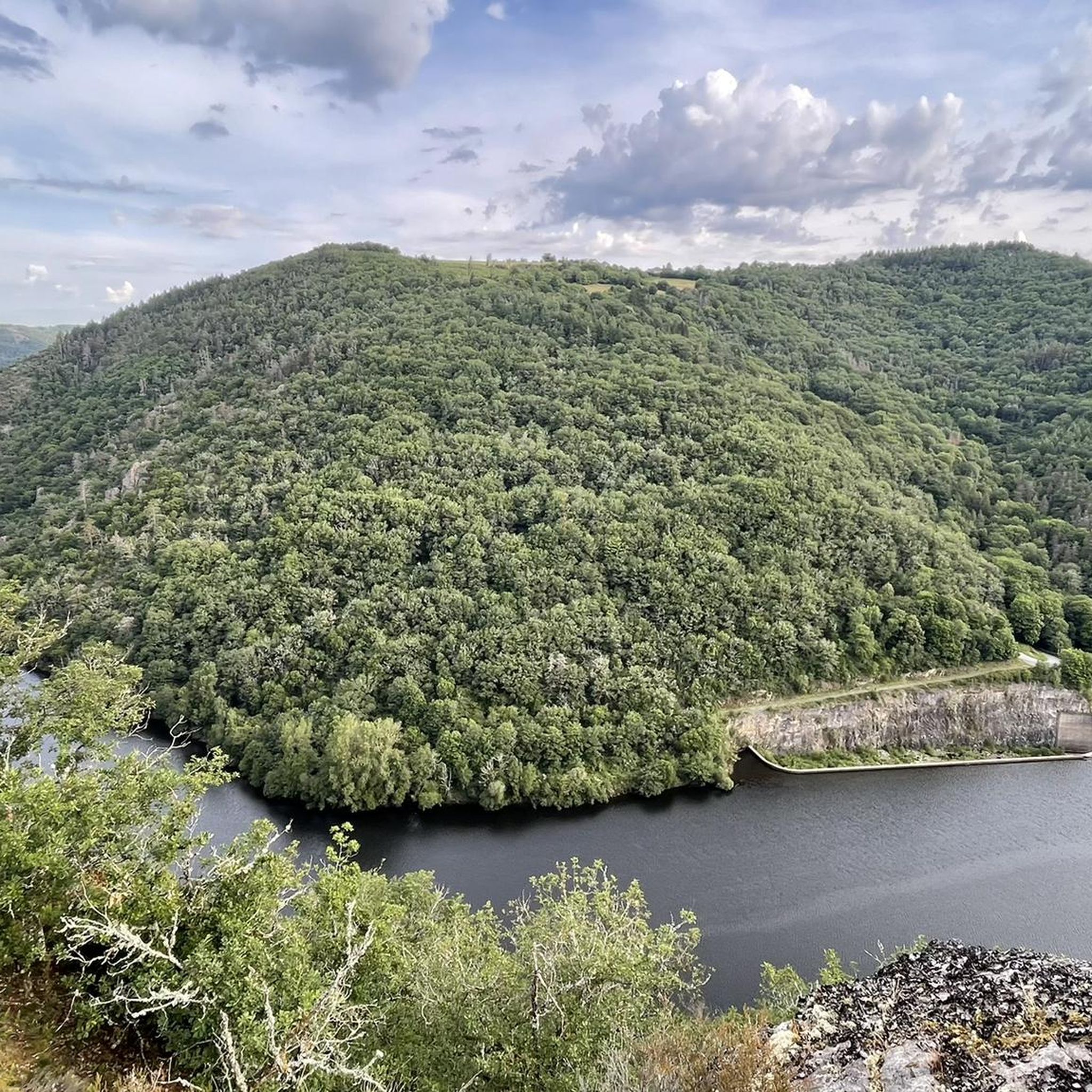
The Fades dam is the largest dam in the Sioule valley. This impressive structure, built in 1968, holds up to 69 million cubic meters of water and powers a hydroelectric power station. From the top of the dam, you can admire the view of the lake and the surrounding mountains. Along the way, you may encounter wild animals, such as deer, foxes or birds of prey.
3
0
Frequently Asked Questions
How many touring cycling routes are available around Gouttières?
There are over 60 touring cycling routes around Gouttières, offering a wide range of options for exploring the Combrailles region. These routes cater to various skill levels, from moderate excursions to more challenging rides through forests, hills, and valleys.
What kind of terrain can I expect on touring cycling routes in Gouttières?
The terrain around Gouttières is diverse, characterized by rural charm, woodlands, and several small streams feeding into the Sioule River. Elevations range from approximately 590 meters to over 800 meters in the Côterue forest, providing varied landscapes. You'll encounter river valleys, volcanic landscapes, and scenic vistas, especially with the region's proximity to the Chaîne des Puys.
Are there any easy or moderate touring cycling routes for beginners or families?
While many routes are classified as difficult, there are moderate options available. For example, the Étang des Planches loop from Les Verts is a moderate 21.6 km route that offers a less strenuous experience. The region's developing cycling infrastructure, including projects like the Via Combrailles, aims to create more accessible greenways suitable for various fitness levels and family outings.
What are some scenic highlights or attractions I can see along the cycling routes?
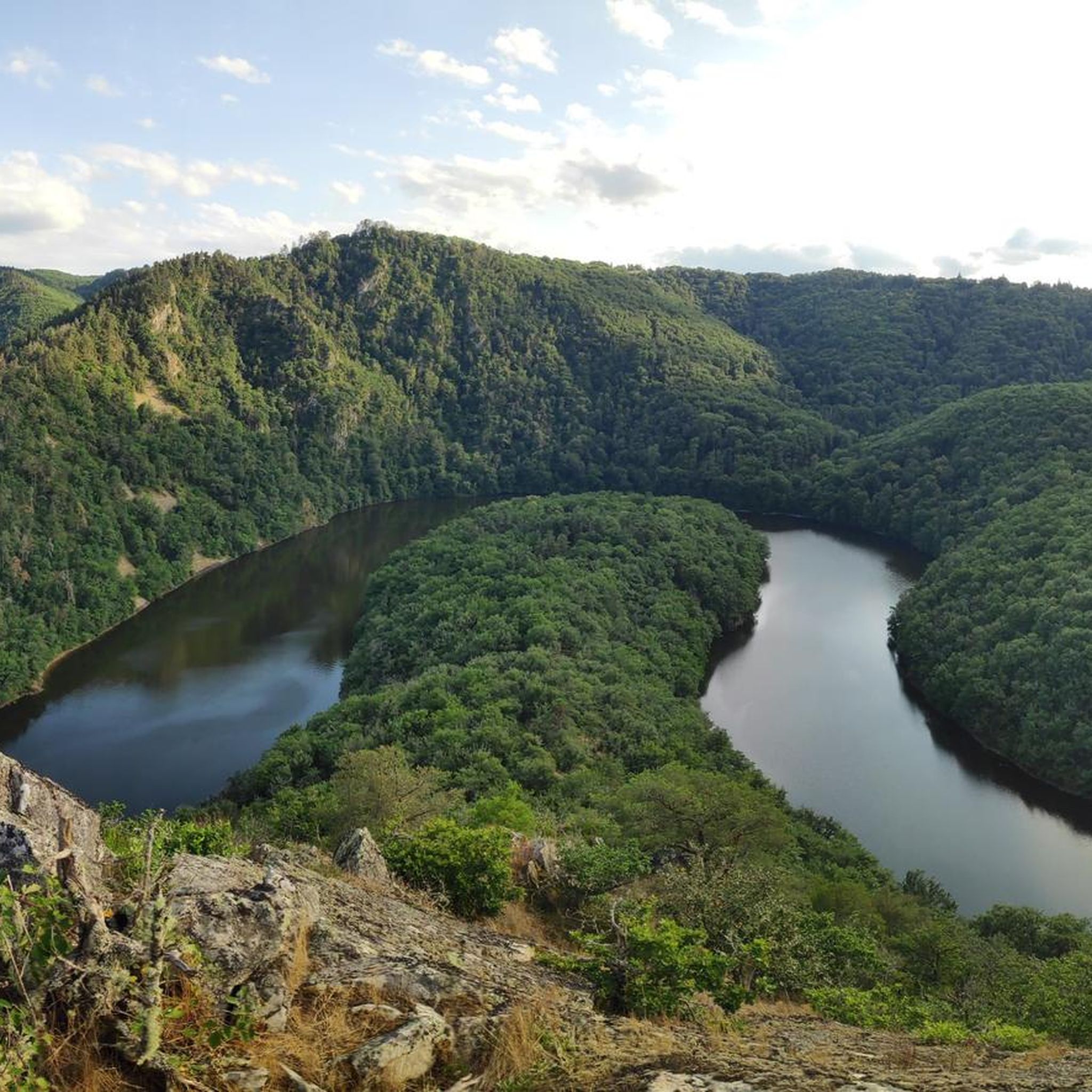
The routes often pass through picturesque areas. You might encounter historical sites like Château-Rocher, stunning natural features such as the Cascade of the 3 Pools of Chambonnet or Cascade de la Tine, and impressive viewpoints like the Queuille Viewpoint. The Viaduc des Fades is another notable landmark.
Are there any circular touring cycling routes in the area?
Yes, many of the touring cycling routes around Gouttières are designed as loops, allowing you to start and finish in the same location. Examples include the Gorges de la Sioule – Pont de Menat loop from Sainte-Christine and the Châteaux de Pionsat – Château de Pionsat loop from Gouttières, which offer varied distances and scenery.
What is the best time of year to go touring cycling in Gouttières?
The region's climate is generally favorable for cycling from spring through autumn. Spring offers lush greenery and blooming landscapes, while autumn provides vibrant colors. Summer is also popular, but it's advisable to start earlier in the day to avoid the midday heat. The varied altitudes mean conditions can change, so checking local weather forecasts is always recommended.
What do other touring cyclists say about the routes in Gouttières?
The touring cycling routes in Gouttières are highly rated by the komoot community, with an average score of 4.7 stars from over 20 reviews. Cyclists often praise the quiet woodlands, the scenic river valleys, and the challenging yet rewarding climbs that offer extraordinary panoramic views of the Combrailles and the Chaîne des Puys.
Are there specific cycling initiatives or dedicated paths in the Gouttières area?
Yes, the Puy-de-Dôme department, which includes Gouttières, is actively developing its cycling infrastructure. A significant project is the 'Via Combrailles,' an approximately 42 km cycling itinerary that directly includes Gouttières. This greenway repurposes an old railway line and existing paths, connecting several towns and showcasing the region's landscapes. Additionally, the Véloroute 70 traverses the department, offering connections to broader cycling networks.
Where can I find parking for touring cycling routes in Gouttières?
As Gouttières is a rural commune with developing tourism infrastructure, parking is generally available in or near the villages that serve as starting points for routes. Look for designated parking areas in towns like Gouttières itself, Sainte-Christine, or Saint-Gervais-d'Auvergne, especially near local amenities or trailheads.
Is public transport an option for accessing cycling routes in Gouttières?
While specific public transport options directly to every trailhead might be limited in this rural area, regional bus services or train connections to larger towns in the Puy-de-Dôme department could be available. From these larger hubs, you might need to cycle to your desired starting point. It's best to check local transport schedules for the Auvergne-Rhône-Alpes region for the most up-to-date information.
Are there any challenging routes for experienced touring cyclists?
Absolutely. A significant number of routes around Gouttières are classified as difficult, offering substantial elevation gains and longer distances. For example, the Roman Bridge of Menat – Pont de Menat loop from Saint-Gervais-d'Auvergne is a challenging 43.4 km path with significant elevation changes, perfect for experienced riders seeking a demanding tour.
What kind of accommodation is available for touring cyclists in Gouttières?
Tourism in Gouttières is growing, supported by funding that has led to the development of gites (holiday cottages) and other tourist accommodations. You can find charming rural gites, bed and breakfasts, and potentially small hotels in Gouttières and surrounding villages, offering comfortable stays for cyclists exploring the region.
Most popular attractions around Gouttières

Get inspired with the komoot mobile app


Explore more
Browse the best Cycling routes in other regions.
