The best walks and hikes around Saint-Maurice-Près-Pionsat
4.4
(56)
230
hikers
45
hikes
Hiking around Saint-Maurice-Près-Pionsat offers diverse landscapes within the Combrailles region, characterized by rolling hills, wooded valleys, and a network of rivers. The commune's elevation ranges from 400 to 654 meters, providing varied terrain and views. Hikers can explore paths along the Cher and Tartasse rivers and around natural features like the Bregirolle pond.
Best hiking trails around Saint-Maurice-Près-Pionsat
- The most popular hiking route is Chancelade Lake Dock – Bridge for walkers loop from Charensat, a 6.7 miles (10.7 km)…
Last updated: June 27, 2026
5.0
(1)
6
hikers
10.7km
03:09
300m
300m
Moderate hike. Good fitness required. Easily-accessible paths. Suitable for all skill levels.
5.0
(1)
4
hikers
4.08km
01:06
50m
50m
Easy hike. Great for any fitness level. Easily-accessible paths. Suitable for all skill levels.

Sign up for free
3.0
(1)
4
hikers
10.1km
02:52
220m
210m
Moderate hike. Good fitness required. Easily-accessible paths. Suitable for all skill levels.
4
hikers
6.05km
01:38
80m
80m
Easy hike. Great for any fitness level. Easily-accessible paths. Suitable for all skill levels.
4.5
(2)
5
hikers
7.45km
02:02
110m
120m
Moderate hike. Good fitness required. Easily-accessible paths. Suitable for all skill levels.
Get access to more routes and recommendations from other explorers.
Sign up for free
Already have an account?
Our route recommendations are based on thousands of hikes, rides, and runs completed by other people on komoot.
Start today with a free account
Your next adventure awaits.
Login or Signup


Tips from the Community

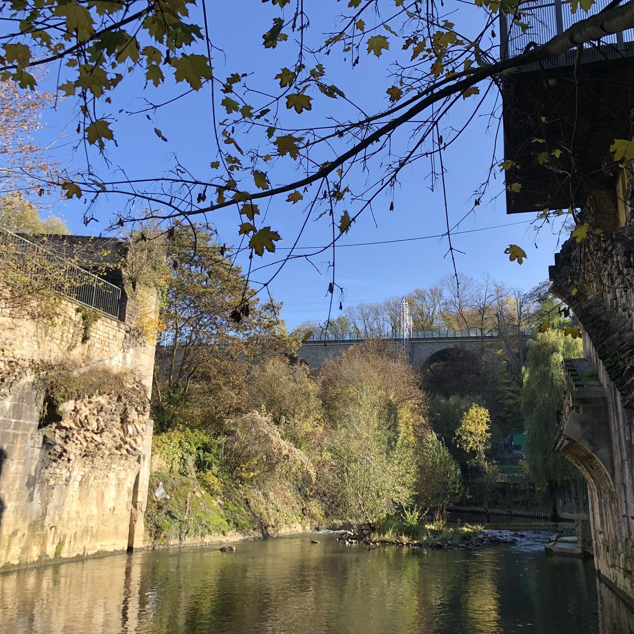
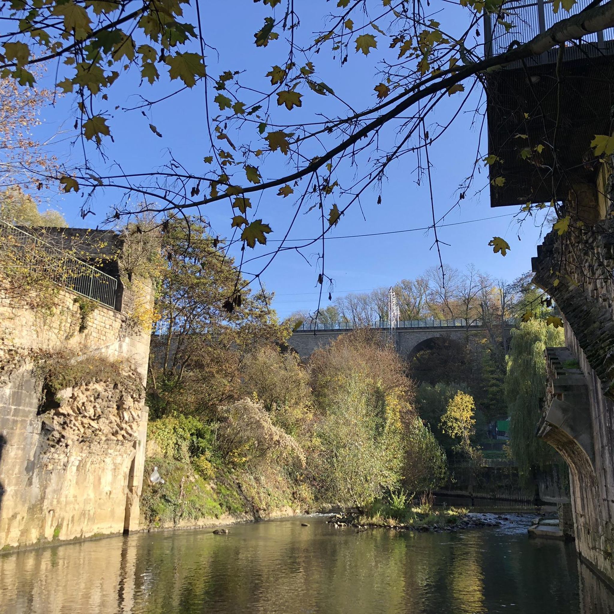
The Auvergne is best known for its fantastic nature, we are here in the Combrailles, an area west of Clermont-Ferrand and located between impressive landscapes. Hilly and dotted with lakes of all sizes and with a lot of agriculture.
11
0
Frequently Asked Questions
How many hiking trails are available around Saint-Maurice-Près-Pionsat?
There are over 35 hiking trails in the Saint-Maurice-Près-Pionsat area, offering a variety of options for different skill levels. You'll find everything from easy strolls to more challenging routes through the Combrailles region.
What kind of terrain can I expect on hikes in Saint-Maurice-Près-Pionsat?
The terrain around Saint-Maurice-Près-Pionsat is characterized by rolling hills, wooded valleys, and river paths. Elevations range from 400 to 654 meters, providing diverse views and varied challenges. You'll encounter both dry and watered valleys, typical of the Combrailles landscape.
Are there any easy, family-friendly hikes in the area?
Yes, there are 14 easy routes suitable for families. A notable option is the 'Saint Maurice and pond' trail, an easy 3.9 km loop around the Bregirolle pond, which also features a playground and picnic tables. Another easy route is the Beautiful hollow path loop from Auzances, which is 3.5 km long and takes about an hour to complete.
Can I bring my dog on the hiking trails?
Many trails in the Saint-Maurice-Près-Pionsat area are dog-friendly, but it's always recommended to keep your dog on a leash, especially when passing through agricultural areas or near wildlife. Always check local signage for specific restrictions.
What natural features or landmarks can I see while hiking?
The region is rich in natural beauty. You can explore paths along the Cher and Tartasse rivers, and enjoy the tranquil Bregirolle pond. The Bridge for walkers over a side arm of the Etang de Chancelade offers nice lake views. The Cascade du Gour Saillant is also a beautiful waterfall worth visiting, often accessible via a short round trip hike.
Are there any circular hiking routes available?
Yes, many of the trails in Saint-Maurice-Près-Pionsat are circular routes. For example, the Chancelade Lake Dock – Bridge for walkers loop from Charensat is a moderate 10.7 km loop with views of Chancelade Lake. Another option is the Maison du Silence Grounds – View of a Forest Stream loop from Saint-Maurice-près-Pionsat, a 10.1 km moderate route.
What is the best time of year to go hiking in Saint-Maurice-Près-Pionsat?
The best time for hiking in Saint-Maurice-Près-Pionsat is typically from spring to autumn (April to October) when the weather is mild and the natural landscapes are in full bloom. Summer offers warm conditions, while spring and autumn provide pleasant temperatures and beautiful foliage. Winter hiking is possible, but some paths might be muddy or slippery, and amenities may be limited.
What do other hikers say about the trails in Saint-Maurice-Près-Pionsat?
The hiking routes in Saint-Maurice-Près-Pionsat are highly rated by the komoot community, with an average score of 4.4 stars from over 40 reviews. Hikers often praise the quiet woodlands, varied terrain, and scenic river paths.
Are there places to eat or stay near the hiking trails?
While specific cafes or accommodations directly on every trail are not guaranteed, Saint-Maurice-près-Pionsat and nearby villages offer options for dining and lodging. It's advisable to check local listings in advance, especially during off-peak seasons.
Is parking available at the trailheads?
Parking is generally available near the starting points of many popular trails and in the villages. Specific parking information can often be found on individual route descriptions or local tourism websites. It's recommended to check details for your chosen trailhead before you go.
What is the typical duration of hikes in this region?
Hikes in Saint-Maurice-Près-Pionsat vary in duration. Easy routes like the Beautiful hollow path loop from Auzances can be completed in under an hour. Moderate trails, such as the Bridge over Le Cher loop from Château-sur-Cher (10.7 km), typically take around 3 hours or more, depending on your pace and stops.
Most popular routes around Saint-Maurice-Près-Pionsat
Most popular attractions around Saint-Maurice-Près-Pionsat

Get inspired with the komoot mobile app


Explore more
Browse the best Hikes in other regions.
