The best walks and hikes around Saint-Gilles-Les-Forêts
4.7
(94)
386
hikers
37
hikes
Hiking around Saint-Gilles-Les-Forêts offers routes through a landscape characterized by dense woodlands and rolling hills. The region, part of the Limousin, features varied terrain suitable for different hiking abilities. Trails often follow natural contours, providing a mix of shaded paths and open views.
Best hiking trails around Saint-Gilles-Les-Forêts
- The most popular hiking route is Tour of Mont Gargan, an easy 4.2 miles (6.8 km) trail that takes 1 hour 56 minutes to complete, offering views of the surrounding forests…
Last updated: July 7, 2026
4.5
(16)
49
hikers
6.76km
01:56
170m
170m
Easy hike. Great for any fitness level. Easily-accessible paths. Suitable for all skill levels.
5.0
(4)
32
hikers
2.61km
00:49
100m
100m
Easy hike. Great for any fitness level. Easily-accessible paths. Suitable for all skill levels.

Sign up for free
4.8
(4)
11
hikers
12.3km
03:34
320m
330m
Moderate hike. Good fitness required. Easily-accessible paths. Suitable for all skill levels.
2
hikers
8.20km
02:22
200m
200m
Moderate hike. Good fitness required. Easily-accessible paths. Suitable for all skill levels.
3
hikers
8.13km
02:20
200m
200m
Moderate hike. Good fitness required. Easily-accessible paths. Suitable for all skill levels.
Get access to more routes and recommendations from other explorers.
Sign up for free
Already have an account?
Our route recommendations are based on thousands of hikes, rides, and runs completed by other people on komoot.
Start today with a free account
Your next adventure awaits.
Login or Signup
Tips from the Community

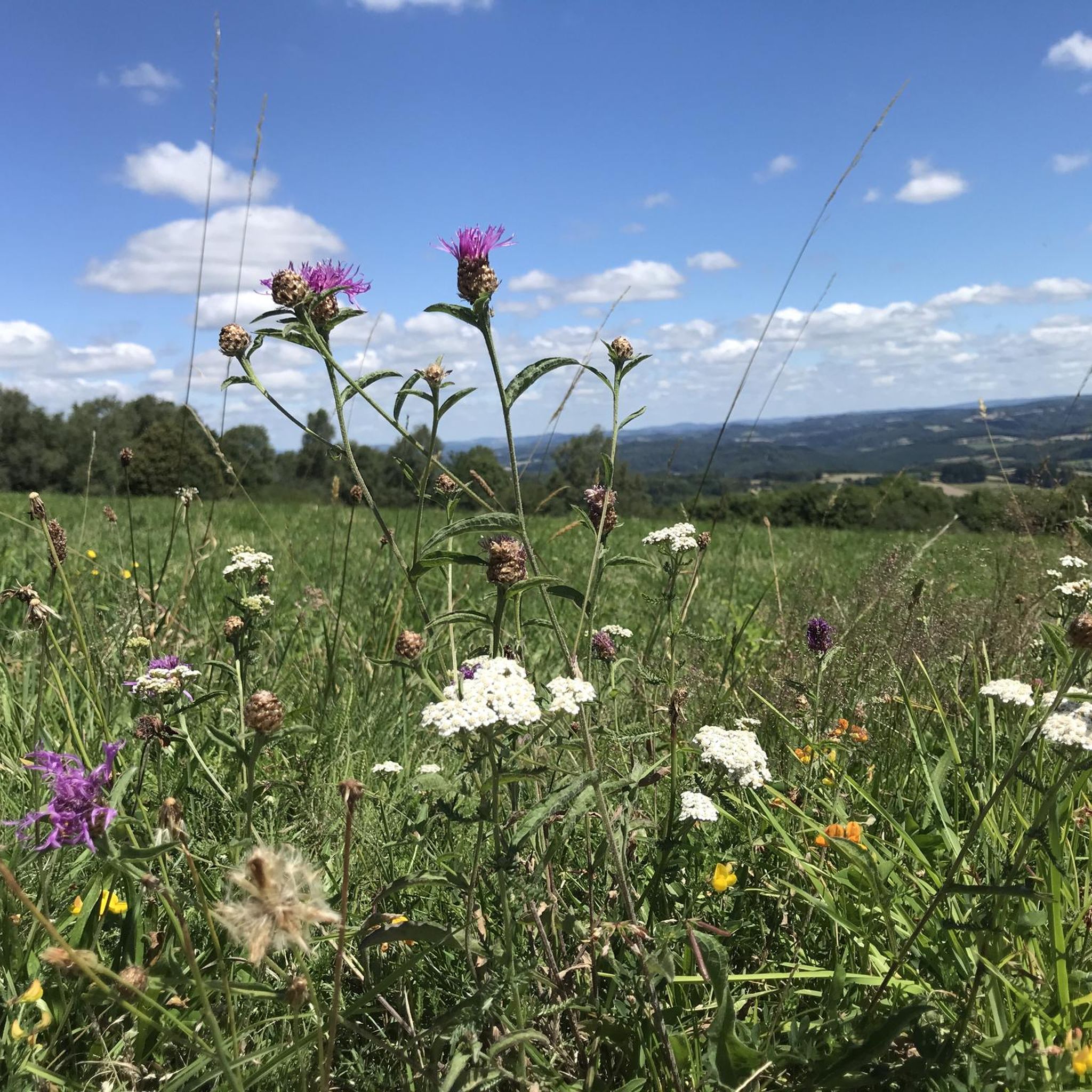
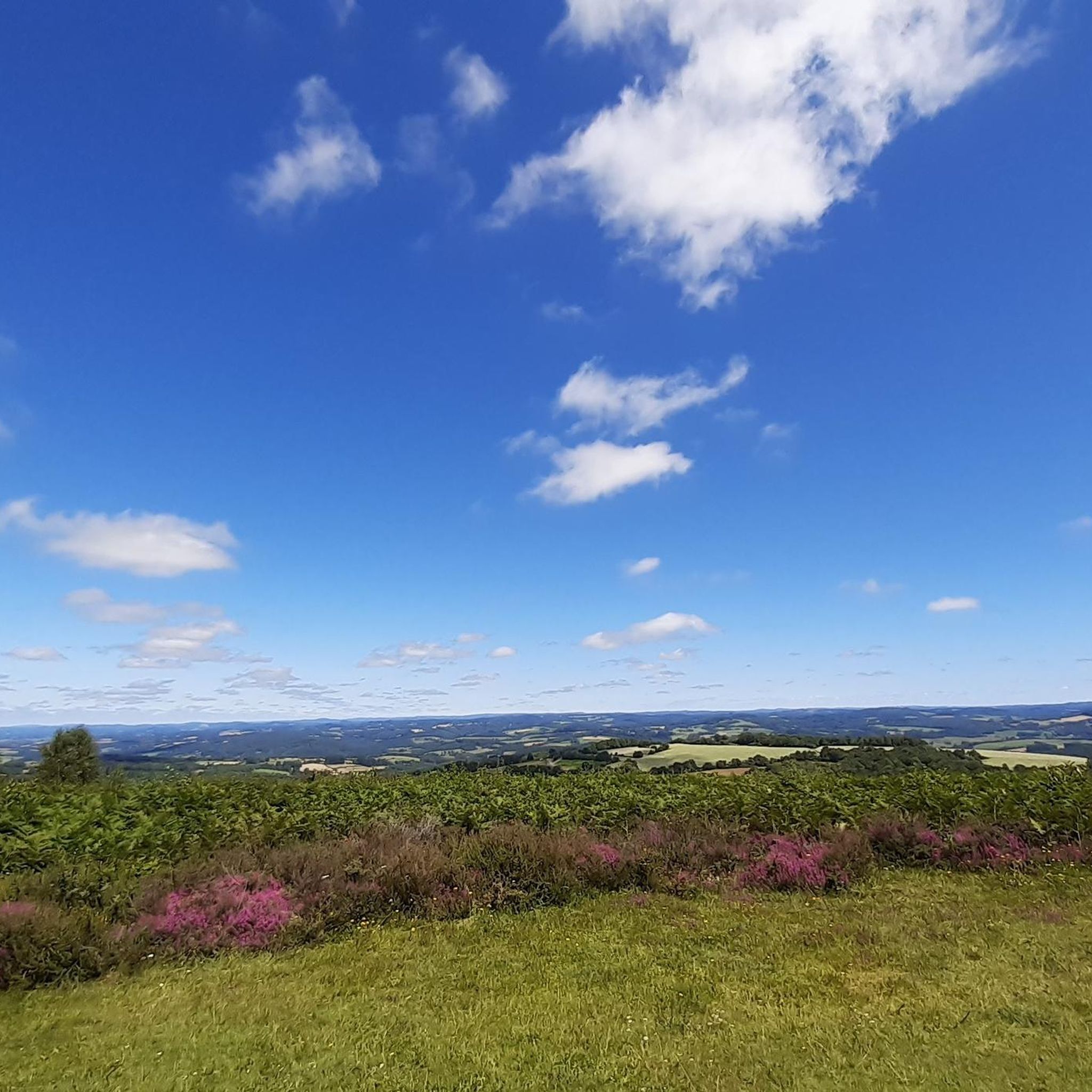
This tour is only possible when the weather is clear, as you will then have a breathtaking view.
0
0

A 730m summit which offers you magnificent views all around on the other summits of Limousin. Perched at the top, you will also find the charming remains of the Mont Gargan chapel built in the 1860s.
2
0
A 730m summit which offers you magnificent views all around on the other summits of Limousin. Perched at the top, you will also find the charming remains of the Mont Gargan chapel built in the 1860s.
2
0

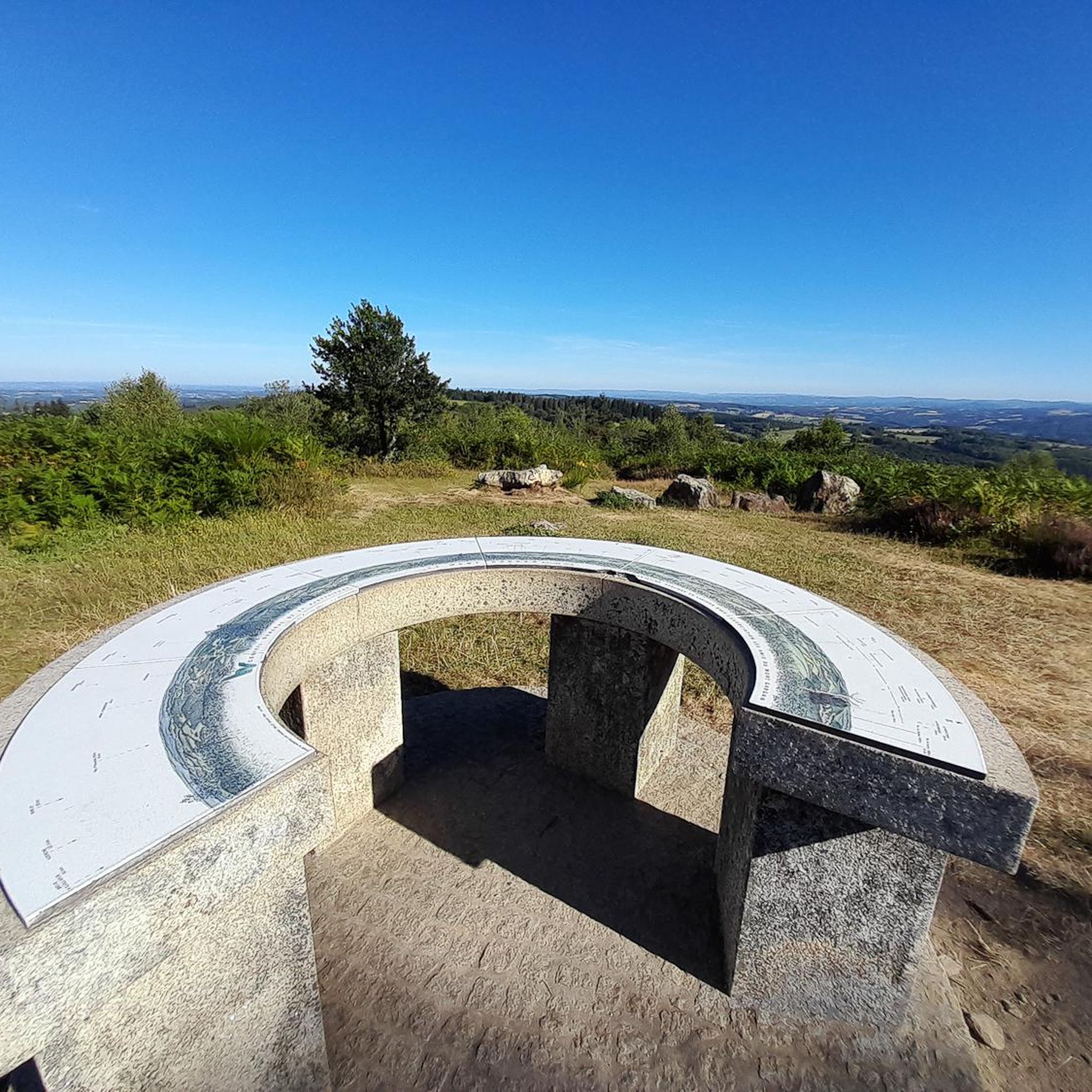
Located in the town of Saint-Gilles-Les-Forêt, highest point at 730m, it offers a 360° panorama with two orientation tables. Accessible from the car park below about 300m. You will pass through a magnificent alley of century-old beech trees with twisting branches. On the summit you can see the remains of the Notre Dame du Bon Secours Chapel. Chapel which suffered from the vandalism of walkers. Some legends, which die hard, still circulate about Gargantua, hence the name: Mont Gargan... https://fr.wikipedia.org/wiki/Mont_Gargan grandsudinsolite.fr/2833-87-haute-vienne-le-mont-gargan--its-heritage-and-its-legends.html cc-briance-combade.com/tourisme/lieux-de-visites/
0
1
Frequently Asked Questions
How many hiking trails are available around Saint-Gilles-Les-Forêts?
There are over 35 hiking trails around Saint-Gilles-Les-Forêts, offering a variety of experiences through woodlands and rolling hills. These routes cater to different skill levels, from easy strolls to more challenging excursions.
Are there easy hiking options suitable for beginners or families?
Yes, Saint-Gilles-Les-Forêts offers 13 easy hiking routes. A great option for beginners or families is the Tour of Mont Gargan, an easy 4.2-mile (6.8 km) trail that provides lovely views of the surrounding countryside without significant elevation gain.
What is the typical length and duration of hikes in this area?
Hikes around Saint-Gilles-Les-Forêts vary in length and duration. You can find shorter paths like the Hiking loop from Surdoux, which is 1.6 miles (2.6 km) and takes about an hour. Longer routes, such as the Mont Gargan loop from Saint-Gilles-les-Forêts, extend to 7.5 miles (12.1 km) and can take around 3.5 hours to complete.
Are there any circular hiking routes in Saint-Gilles-Les-Forêts?
Yes, many of the trails in the region are circular, allowing you to start and end at the same point. Examples include the Mont Gargan loop from Saint-Gilles-les-Forêts and the Mont Gargan loop from Surdoux, which offer convenient options for exploring the area.
Can I bring my dog on the hiking trails?
Most hiking trails in the Saint-Gilles-Les-Forêts area are dog-friendly, but it's always recommended to keep your dog on a leash, especially in areas with livestock or protected wildlife. Always check local signage for specific restrictions.
What is the best time of year to go hiking in Saint-Gilles-Les-Forêts?
The best time to hike in Saint-Gilles-Les-Forêts is typically from spring to autumn (April to October). During these months, the weather is generally mild and pleasant, and the forests are lush. Autumn offers beautiful fall foliage, while spring brings blooming wildflowers.
Are there any viewpoints or scenic spots along the trails?
The region, particularly around Mont Gargan, offers several scenic spots. Trails like the Tour of Mont Gargan provide elevated perspectives over the surrounding forests and rolling Limousin countryside, showcasing the natural beauty of the area.
What do other hikers enjoy most about hiking in Saint-Gilles-Les-Forêts?
The hiking experience in Saint-Gilles-Les-Forêts is highly rated by the komoot community, with an average score of 4.8 stars. Reviewers often praise the tranquility of the dense woodlands, the well-maintained paths, and the peaceful atmosphere that allows for a true escape into nature.
Is parking available at the trailheads?
Yes, for many popular trails and loops around Saint-Gilles-Les-Forêts, you will find designated parking areas near the trailheads, especially in and around the villages or at key access points to Mont Gargan. It's advisable to check the specific tour details on komoot for parking information.
Are there any challenging routes for experienced hikers?
While many routes are easy to moderate, there are 5 difficult trails for experienced hikers seeking more of a challenge. These routes often feature longer distances and more significant elevation changes, providing a rewarding experience through varied terrain.
What kind of terrain can I expect on the trails?
The terrain around Saint-Gilles-Les-Forêts is characterized by a mix of dense woodlands, gentle hills, and quiet valleys. You can expect well-trodden paths, forest tracks, and some sections on quieter country roads. The varied landscape ensures a diverse hiking experience.
Most popular routes around Saint-Gilles-Les-Forêts

Get inspired with the komoot mobile app


Explore more
Browse the best Hikes in other regions.
