The best walks and hikes around Hauterive
4.4
(250)
2,511
hikers
123
hikes
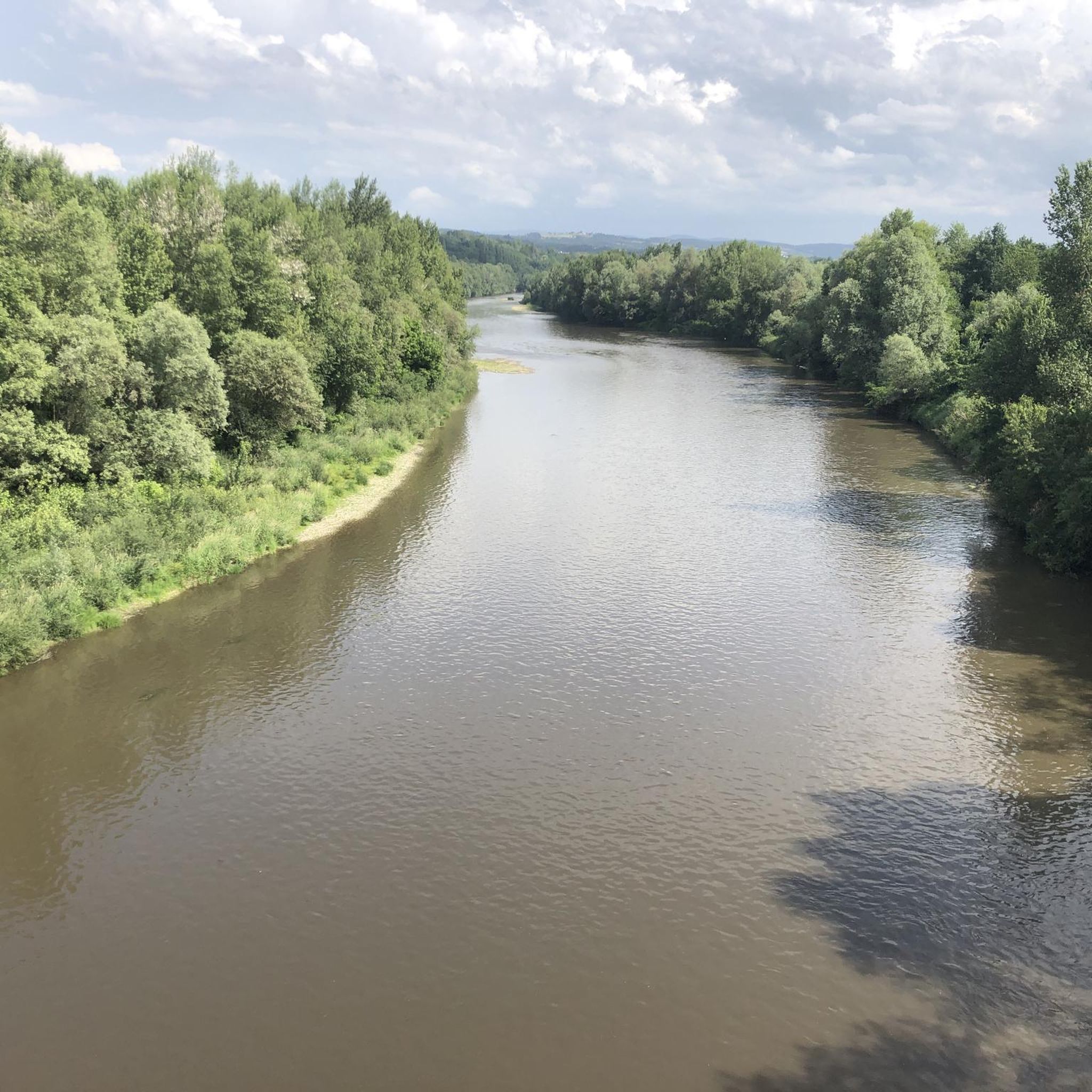
Hiking around Hauterive reveals a landscape characterized by the Allier river valley, offering a mix of riverine paths and wooded areas. The terrain generally features gentle elevations, making it accessible for various hiking abilities. This region provides opportunities to explore the natural environment along waterways and through local countryside.
Best hiking trails around Hauterive
- The most popular hiking route is The Pavillon des Célestins – The Allier at Vichy loop from Hauterive, a 8.5 miles (13.7 km) trail that…
Last updated: October 28, 2026
4.5
(4)
22
hikers
9.16km
02:22
50m
50m
Moderate hike. Good fitness required. Easily walkable paths.
4.9
(7)
35
hikers
20.8km
05:20
90m
90m
Hard hike. Very good fitness required. Easily walkable paths.

4.5
(2)
12
hikers
11.1km
03:08
240m
240m
Moderate hike. Good fitness required. Easily walkable paths.
8
hikers
6.49km
01:48
110m
110m
Easy hike. Easily walkable paths.
6
hikers
10.7km
02:44
40m
30m
Moderate hike. Good fitness required. Easily walkable paths.
Get access to more routes and recommendations from other explorers.
Already have an account?
Our route recommendations are based on thousands of hikes, rides, and runs completed by other people on komoot.
Start today with a free account
Your next adventure awaits.
Tips from the Community

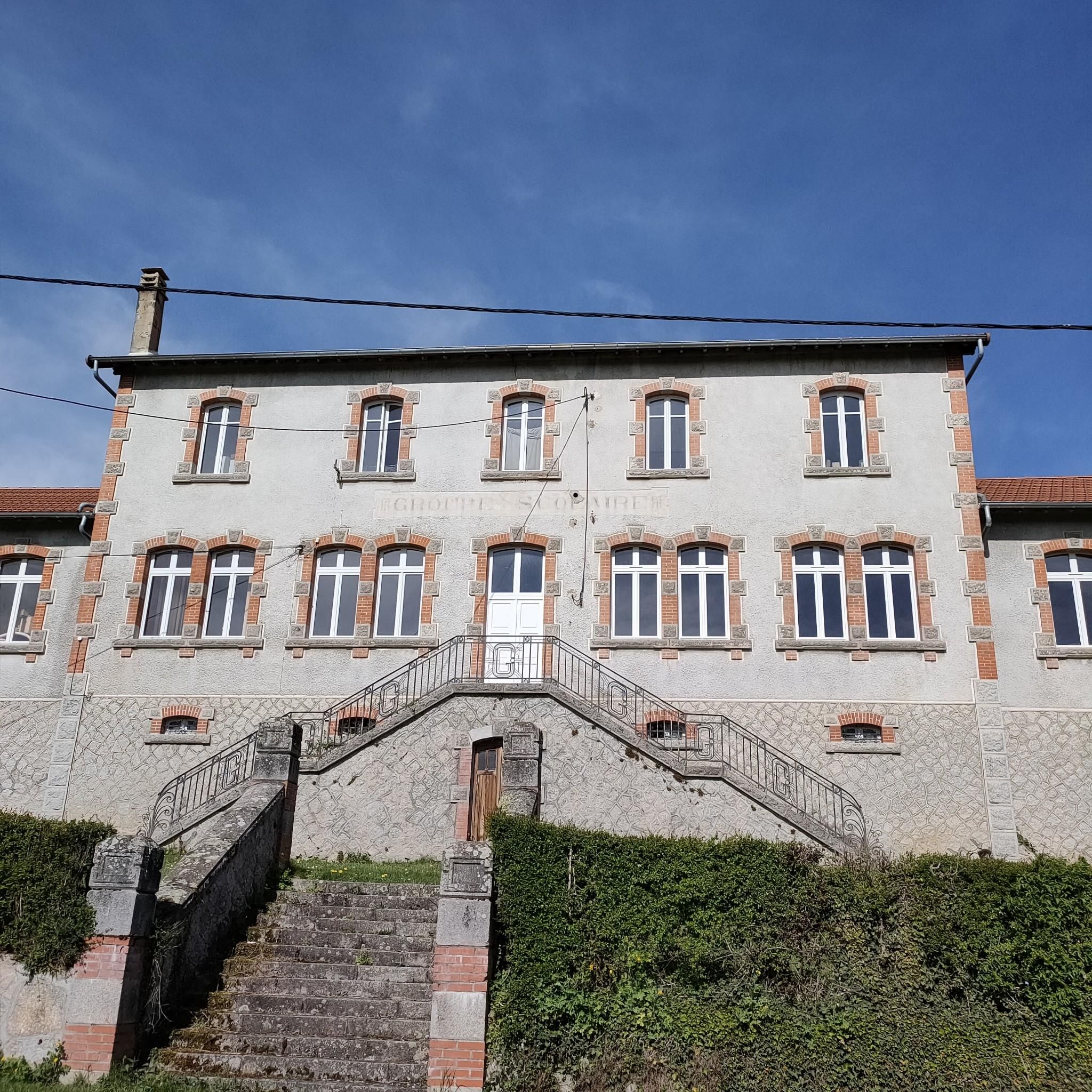
A beautiful castle that is not easily discovered, beautiful building
0
0
Frequently Asked Questions
How many hiking trails are available around Hauterive?
There are nearly 100 hiking trails available around Hauterive, offering a wide variety of options for different preferences and skill levels. The komoot community has explored over 99 routes in the area.
Are there easy hiking options suitable for beginners or families in Hauterive?
Yes, Hauterive offers many easy hiking options. Over 50 of the routes are classified as easy, making them perfect for beginners, families, or those looking for a relaxed stroll. An example is the Château des Chaussins loop from Saint-Yorre, which is an easy 6.5 km trail.
What kind of landscapes can I expect to see on hikes near Hauterive?
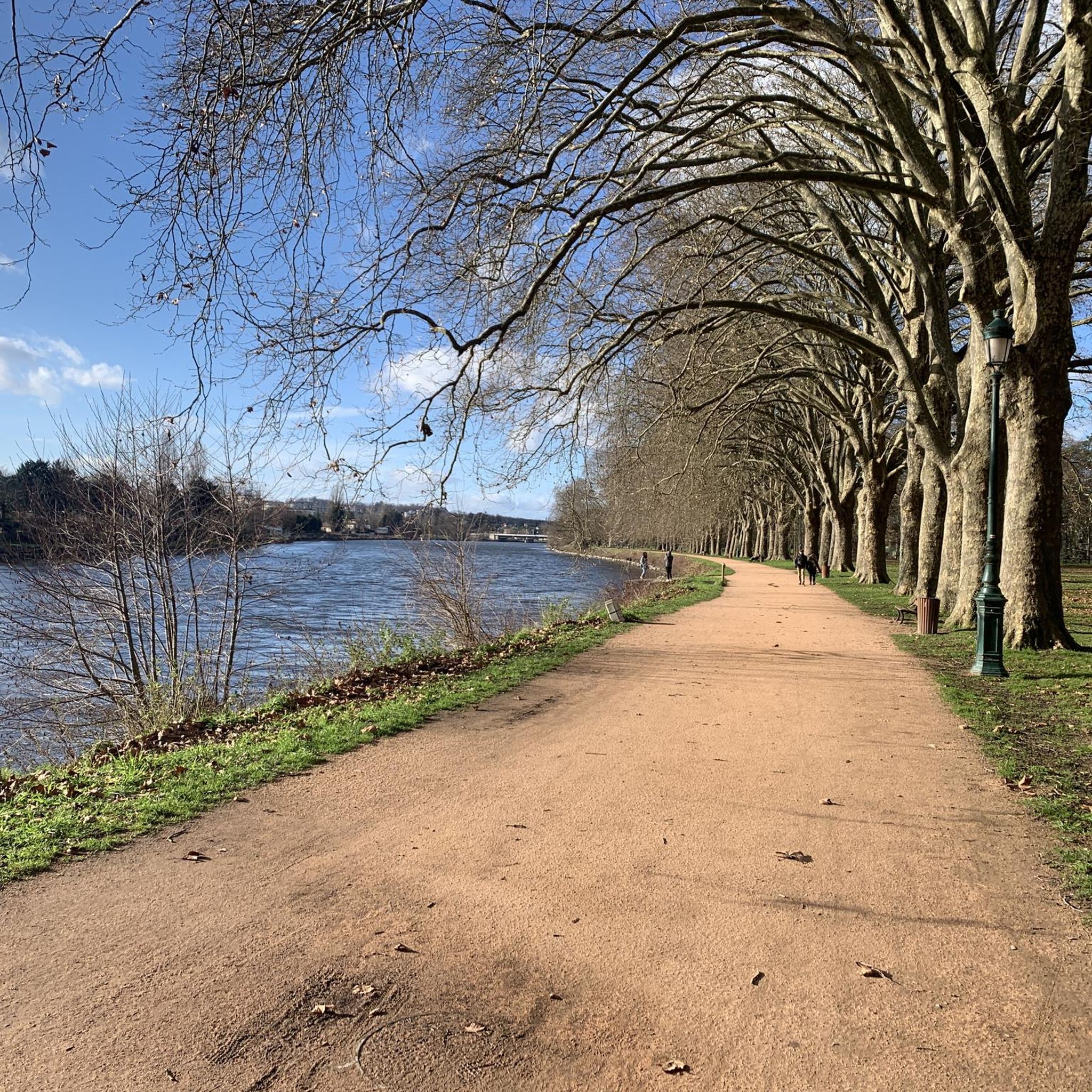
Hikes near Hauterive primarily feature the scenic Allier river valley, with paths winding along the riverbanks and through local countryside and wooded areas. You'll enjoy views of the water and surrounding parkland, characteristic of the region's gentle elevations.
Are there any circular hiking routes in Hauterive?
Yes, many of the trails around Hauterive are circular, allowing you to start and end at the same point. Popular circular routes include The Pavillon des Célestins – The Allier at Vichy loop from Hauterive and the Dome source loop from Hauterive.
What are some interesting places to visit near the hiking trails in Hauterive?
Many hiking trails in Hauterive are close to interesting attractions, particularly in nearby Vichy. You can explore sites like The Pavillon des Célestins, the Allier Riverside Promenade, and the Vichy Springs Park. The Saint Louis Church is also a notable landmark.
What do other hikers say about the trails in Hauterive?
The trails in Hauterive are highly rated by the komoot community, with an average score of 4.3 stars from over 240 reviews. Hikers often praise the pleasant river views, accessible terrain, and the peaceful atmosphere of the wooded sections and countryside paths.
Are there any longer or more challenging hikes for experienced hikers in Hauterive?
While most trails in Hauterive are easy to moderate, there are a few more challenging options. The region offers 4 difficult routes for those seeking a greater challenge. The moderate routes, such as View of the River in Vichy loop from Abrest, also provide a good workout with distances over 13 km.
Are there hikes that feature water elements or river views?
Absolutely. The hiking experience in Hauterive is largely defined by its proximity to the Allier river. Many routes, like The Pavillon des Célestins – The Allier at Vichy loop from Hauterive, follow the river, offering continuous views of the water and its banks.
What is the best time of year to go hiking in Hauterive?
The trails around Hauterive are generally enjoyable throughout the warmer months, from spring to autumn, when the weather is mild and the river scenery is at its best. Spring brings fresh greenery, while autumn offers beautiful foliage along the riverbanks.
Can I find places to eat or drink near the hiking routes?
Given Hauterive's location near Vichy, you'll find various amenities, including cafes and restaurants, particularly in Vichy itself. Many river-side routes lead close to or through areas where refreshments are available, especially in the more urban sections.
Are there options for shorter walks around Hauterive?
Yes, if you're looking for shorter walks, there are plenty of options. Many of the easy trails are shorter in length, providing opportunities for quick strolls. For example, the Château des Chaussins loop from Saint-Yorre is just 6.5 km and can be completed in about 2 hours.
Most popular routes around Hauterive
Most popular attractions around Hauterive

Get inspired with the komoot mobile app


Explore more
Browse the best Hikes in other regions.
