The best running trails around Peyrehorade
4.3
(14)
420
runners
26
runs
Jogging routes around Peyrehorade are set within Nouvelle-Aquitaine, offering diverse terrain for runners. The region is characterized by the confluence of the Gaves réunis rivers, providing flat riverside paths, alongside rolling hills such as Aspremont Hill. Runners can explore the agricultural landscapes of the Kiwi Valley and forested areas like Forêt de Cauneille. This combination of riverbanks, hills, and rural scenery offers varied running experiences.
Best jogging routes around Peyrehorade
- The most popular jogging route is Forêt de Cauneille loop…
Last updated: June 28, 2026
48
runners
25.0km
02:55
340m
340m
Hard run. Very good fitness required. Mostly paved surfaces. Suitable for all skill levels.
5.0
(1)
18
runners
8.06km
00:51
40m
40m
Moderate run. Good fitness required. Mostly paved surfaces. Suitable for all skill levels.

Sign up for free
11
runners
10.0km
01:03
70m
70m
Moderate run. Good fitness required. Mostly paved surfaces. Suitable for all skill levels.
9
runners
8.77km
01:06
190m
190m
Moderate run. Good fitness required. Mostly paved surfaces. Suitable for all skill levels.
8
runners
8.85km
01:05
160m
160m
Moderate run. Good fitness required. Mostly paved surfaces. Suitable for all skill levels.
Get access to more routes and recommendations from other explorers.
Sign up for free
Already have an account?
Our route recommendations are based on thousands of hikes, rides, and runs completed by other people on komoot.
Start today with a free account
Your next adventure awaits.
Login or Signup
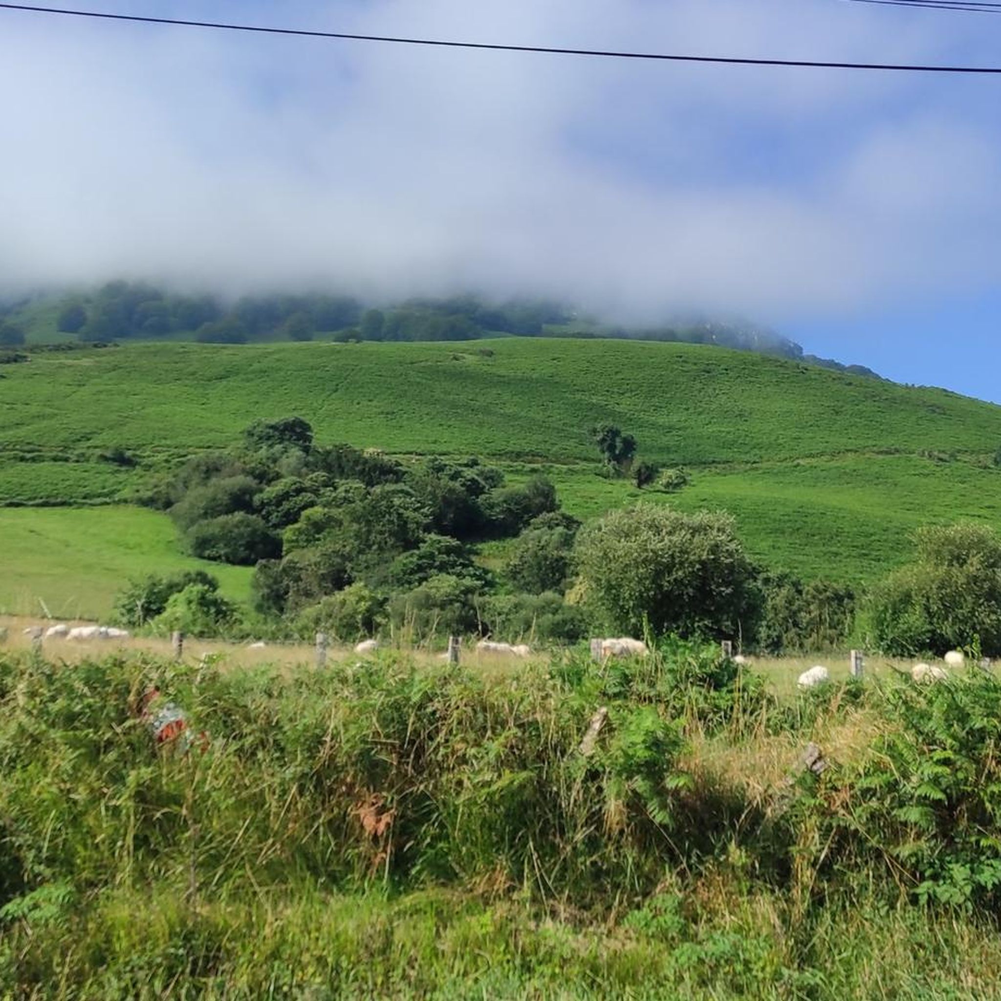
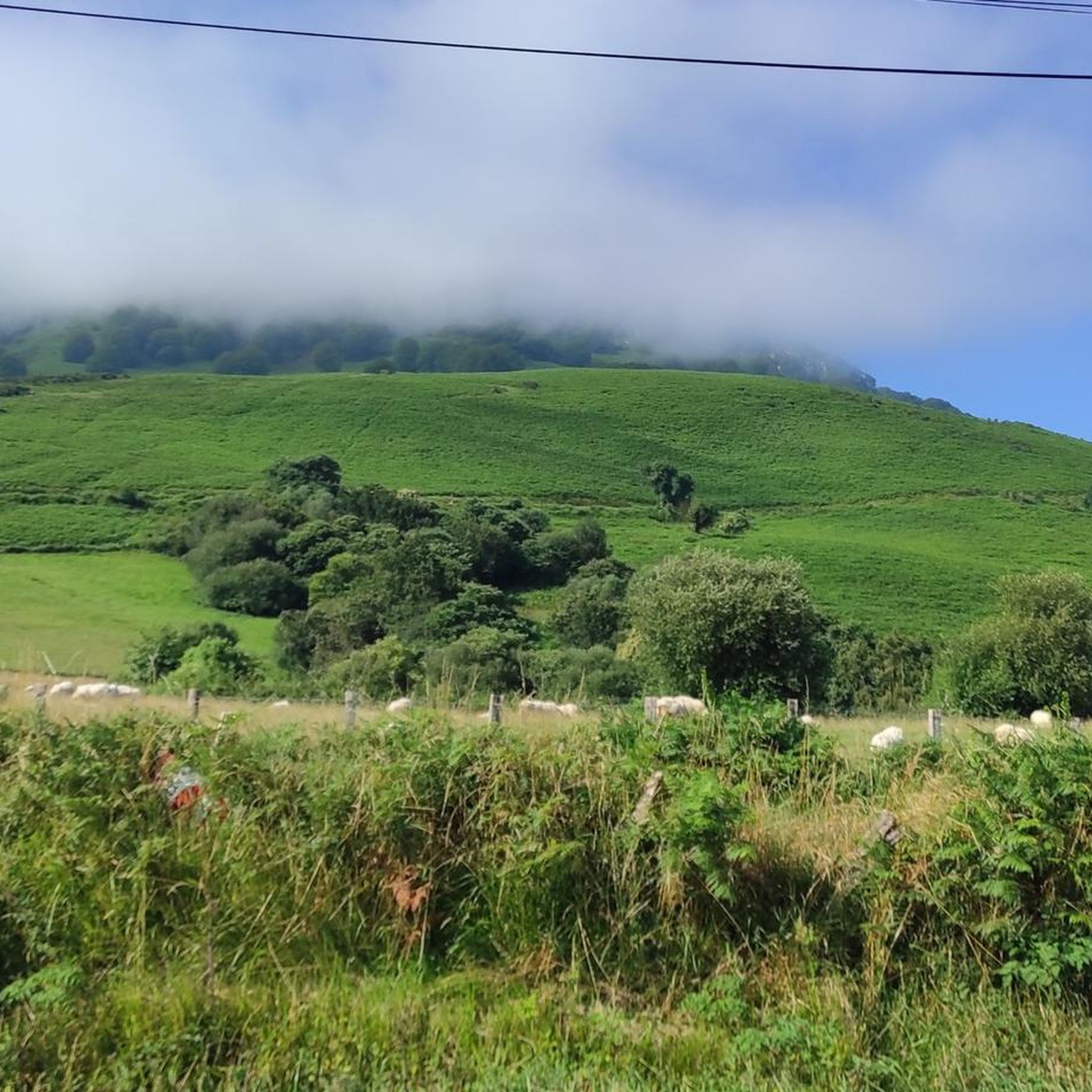
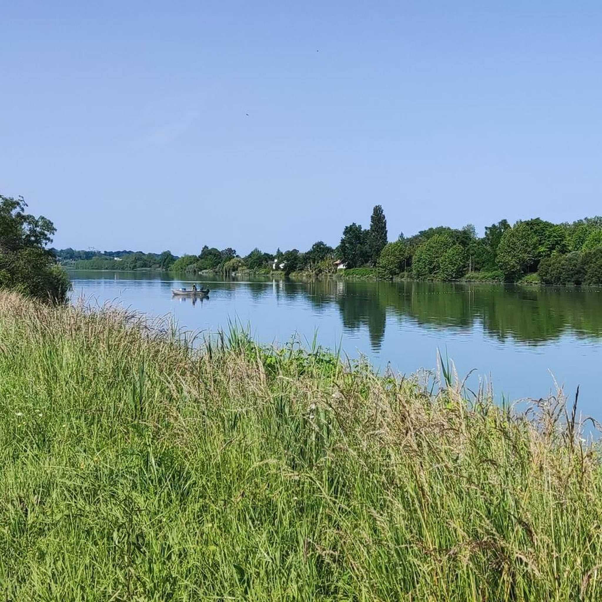
Tips from the Community

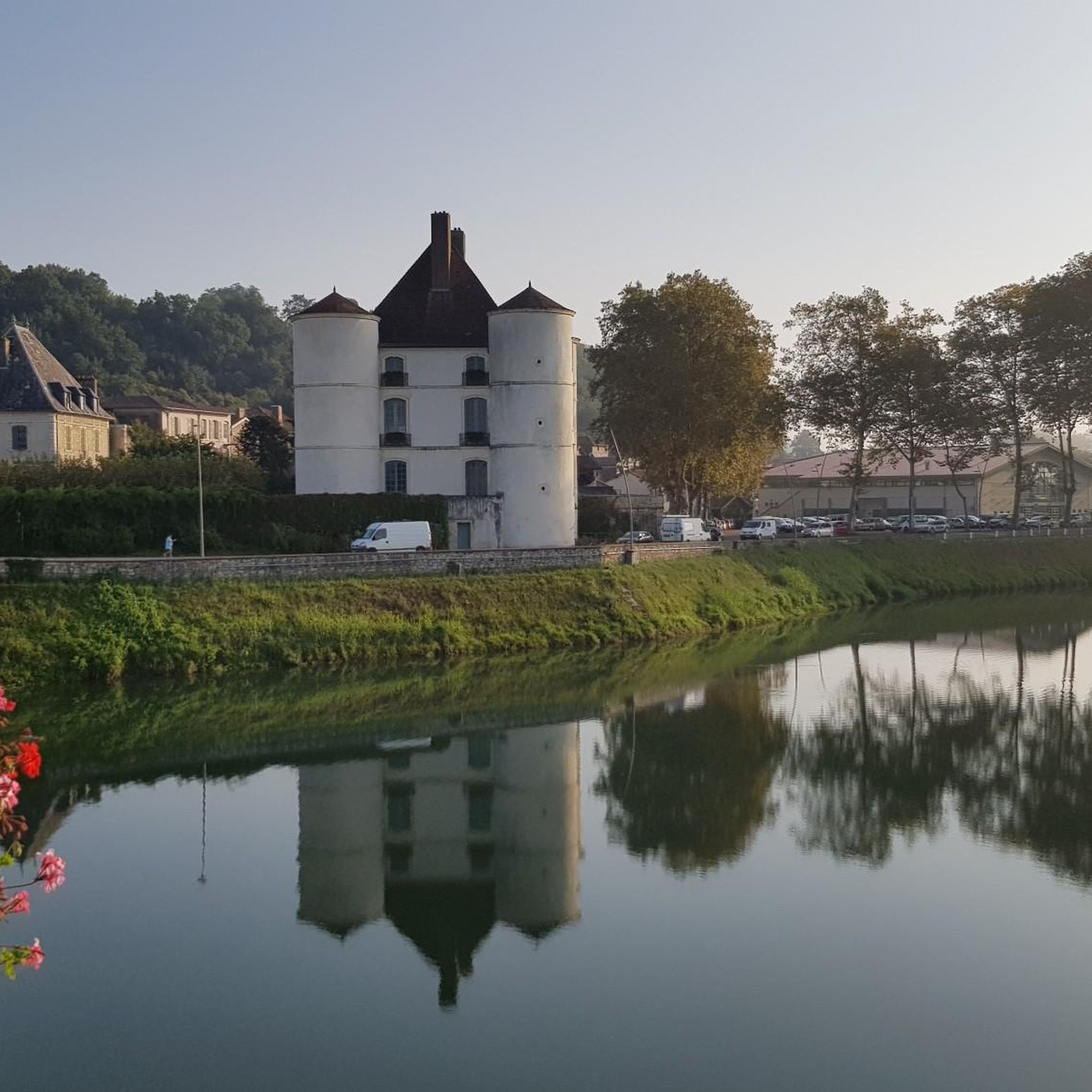
Château de plaine des Vicomtes d'Orthe. Built in the 16th century and transformed in the 17th and 18th centuries. It now houses the Town Hall.
0
0

The Château de Montréal has had many functions since its construction in the 1550s. Originally built to control river traffic on the Gaves united, it later became the residence of the Viscounts of the Orthe region, before becoming a military hospital, a convent and a technical college. It is however today the town hall of Peyrehorade.
4
0
Frequently Asked Questions
How many running routes are available around Peyrehorade?
There are over 25 running routes around Peyrehorade, offering a variety of options for different skill levels and preferences. The komoot community has explored these routes over 400 times.
What kind of terrain can I expect on the running trails in Peyrehorade?
Peyrehorade offers a diverse range of terrain. You'll find flat, scenic paths along the tranquil banks of the Gaves réunis rivers, as well as more challenging routes with inclines through rolling hills like Aspremont Hill. Many trails also wind through the agricultural landscapes of the Kiwi Valley and forested areas such as the Forêt de Cauneille.
Are there any easy running routes suitable for beginners or families?
Yes, Peyrehorade has options for easier runs. While many routes are moderate, there are at least 2 easy routes available. For example, the Lac de la Sablière loop from Peyrehorade is a moderate 5.0-mile (8.1 km) trail that is relatively flat and takes about 50 minutes, making it a good option for those seeking a less strenuous run through varied countryside.
Can I bring my dog on the running trails in Peyrehorade?
Many outdoor trails in France are dog-friendly, especially in rural areas like Peyrehorade. However, it's always recommended to keep your dog on a leash, especially when passing through agricultural land, near livestock, or in nature reserves. Always check local signage for specific restrictions on individual routes.
Are there any circular running routes in the area?
Yes, many of the running routes around Peyrehorade are designed as loops. Popular circular options include the challenging Forêt de Cauneille loop from Peyrehorade, the moderate Running loop from Peyrehorade, and the scenic Lac de la Sablière loop from Peyrehorade.
What are some scenic running routes with good viewpoints?
For scenic views, consider routes that traverse Aspremont Hill, which offers panoramic vistas over the Gaves. Running along the "quai du Roc" provides magnificent views along the riverbanks. The Running loop from La Téoulère also offers varied landscapes and potential viewpoints as it covers 8.8 km with some elevation.
Are there longer, more challenging running routes for experienced runners?
Absolutely. For experienced runners seeking a challenge, the Forêt de Cauneille loop from Peyrehorade is a difficult 16.0-mile (25.8 km) trail with significant elevation gain, taking approximately 3 hours to complete through forested areas.
What attractions or landmarks can I see while running in Peyrehorade?
While running, you might encounter several interesting landmarks. Routes along the Gaves could pass near the impressive 15th-century Château d'Orthe (now the town hall). You might also run past the historic The Bastide of Hastingues or the charming Hastingues Village. The Adour Towpath is another highlight that can be incorporated into longer runs.
Is there parking available near the running trailheads?
In Peyrehorade, parking is generally available in the town center and near popular starting points for outdoor activities. For specific trailheads, it's advisable to check local maps or the komoot route details for designated parking areas, which are often found at the beginning of established hiking or cycling loops.
What do other runners say about the trails in Peyrehorade?
The running routes in Peyrehorade are highly rated by the komoot community, with an average score of 4.4 stars from over 10 reviews. Runners often praise the diverse scenery, from tranquil riverbanks to rolling hills and the unique Kiwi Valley, as well as the variety of routes suitable for different fitness levels.
What are the typical distances for running routes in Peyrehorade?
Running routes in Peyrehorade vary significantly in length. You can find shorter loops around 5 miles (8 km), such as the Lac de la Sablière loop, up to longer, more challenging trails like the Forêt de Cauneille loop, which spans 16 miles (25.8 km).
Are there any specific trails that go through the famous Kiwi Valley?
Yes, Peyrehorade is known as the "capital of the French kiwi" and is situated within the "Vallée du Kiwi." Many of the cycling and hiking loops in the area, which are also suitable for running, traverse this distinctive agricultural landscape. These routes offer a unique experience through kiwi orchards and rural scenery.
Most popular attractions around Peyrehorade

Get inspired with the komoot mobile app


Explore more
Browse the best Running Trails & Routes in other regions.
