The best road cycling routes around Thiéfosse
4.7
(219)
10,349
riders
146
rides
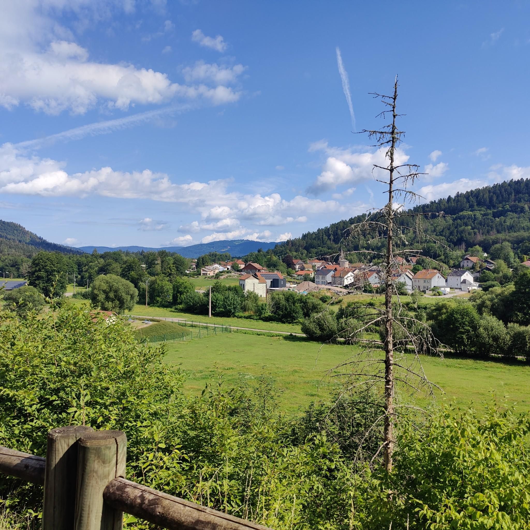
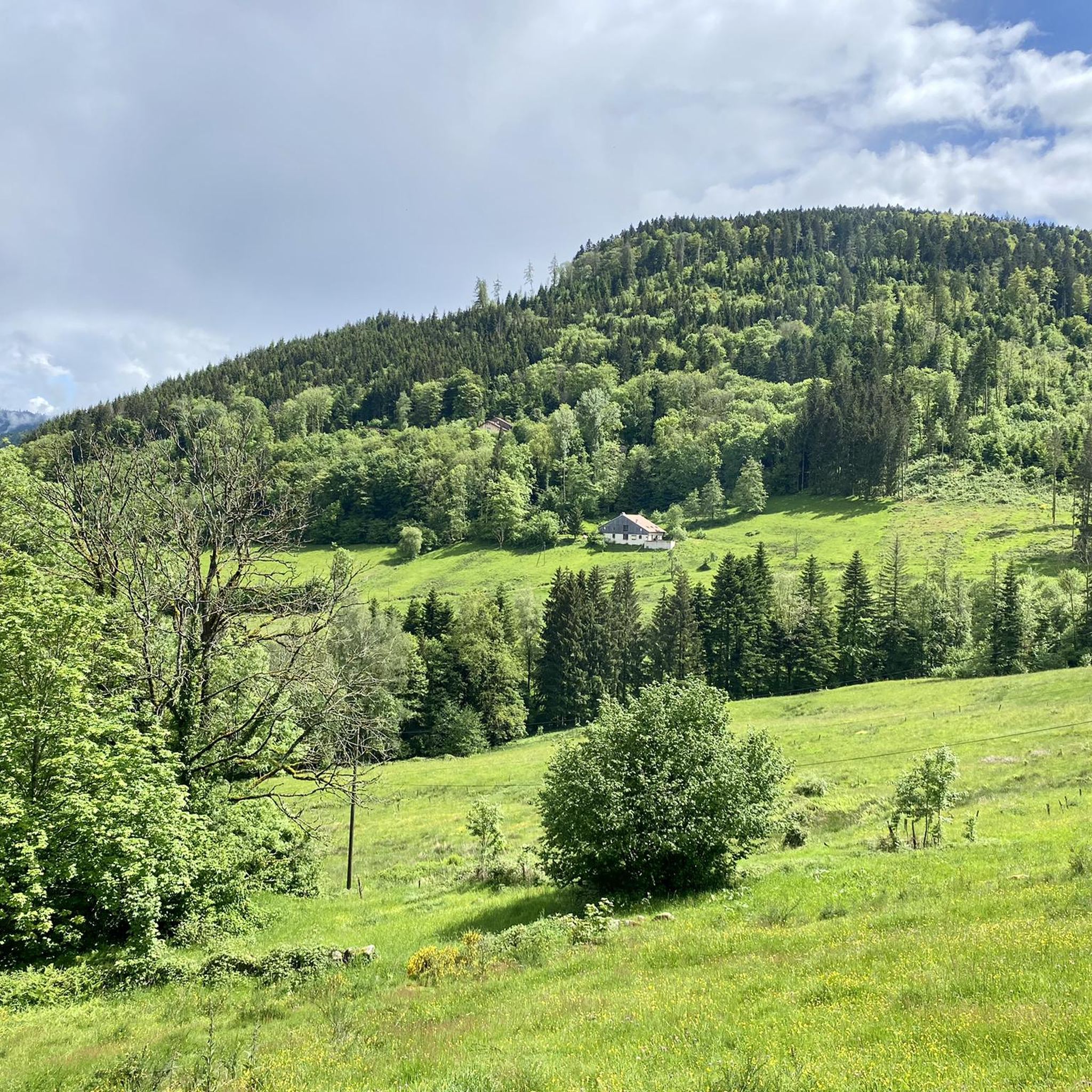
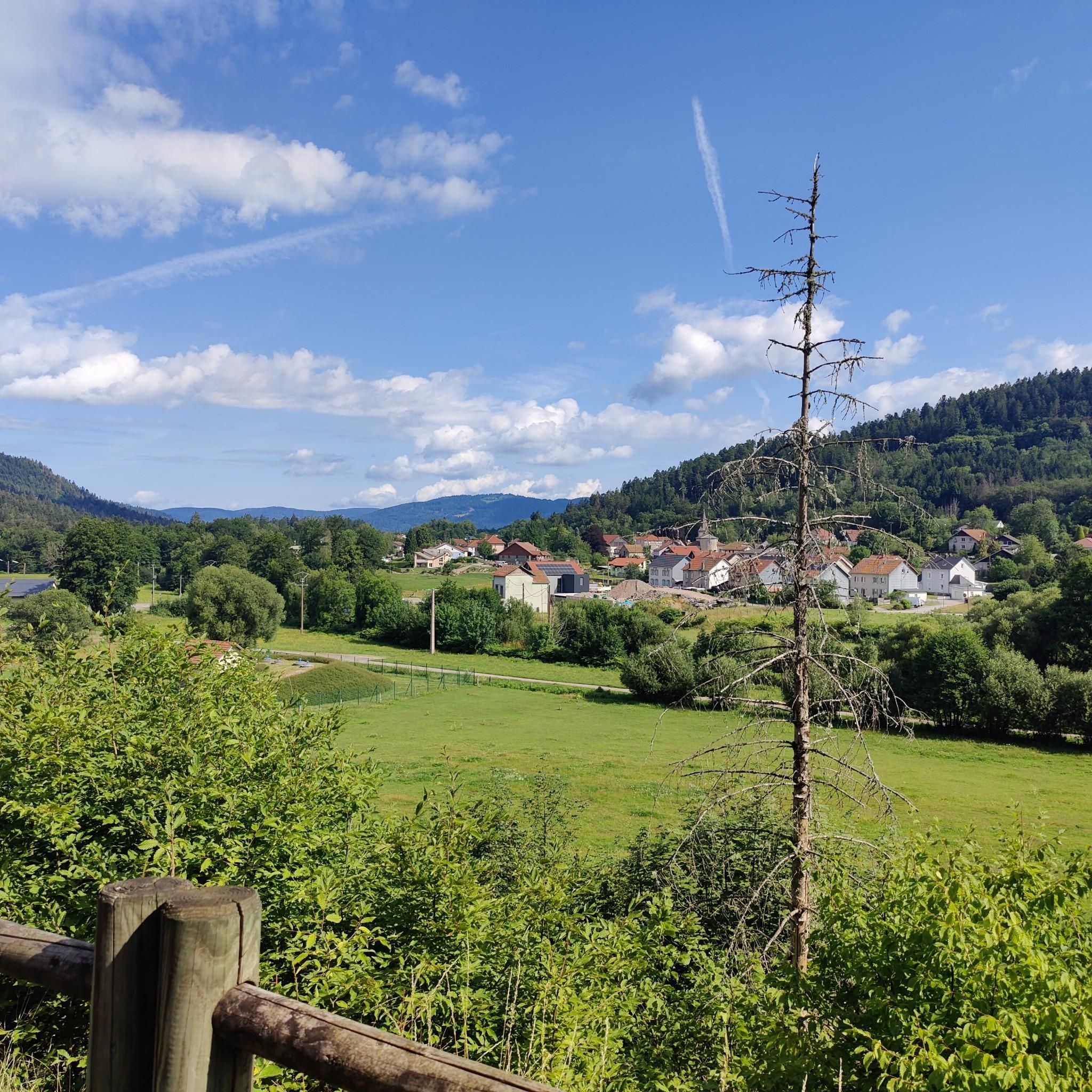
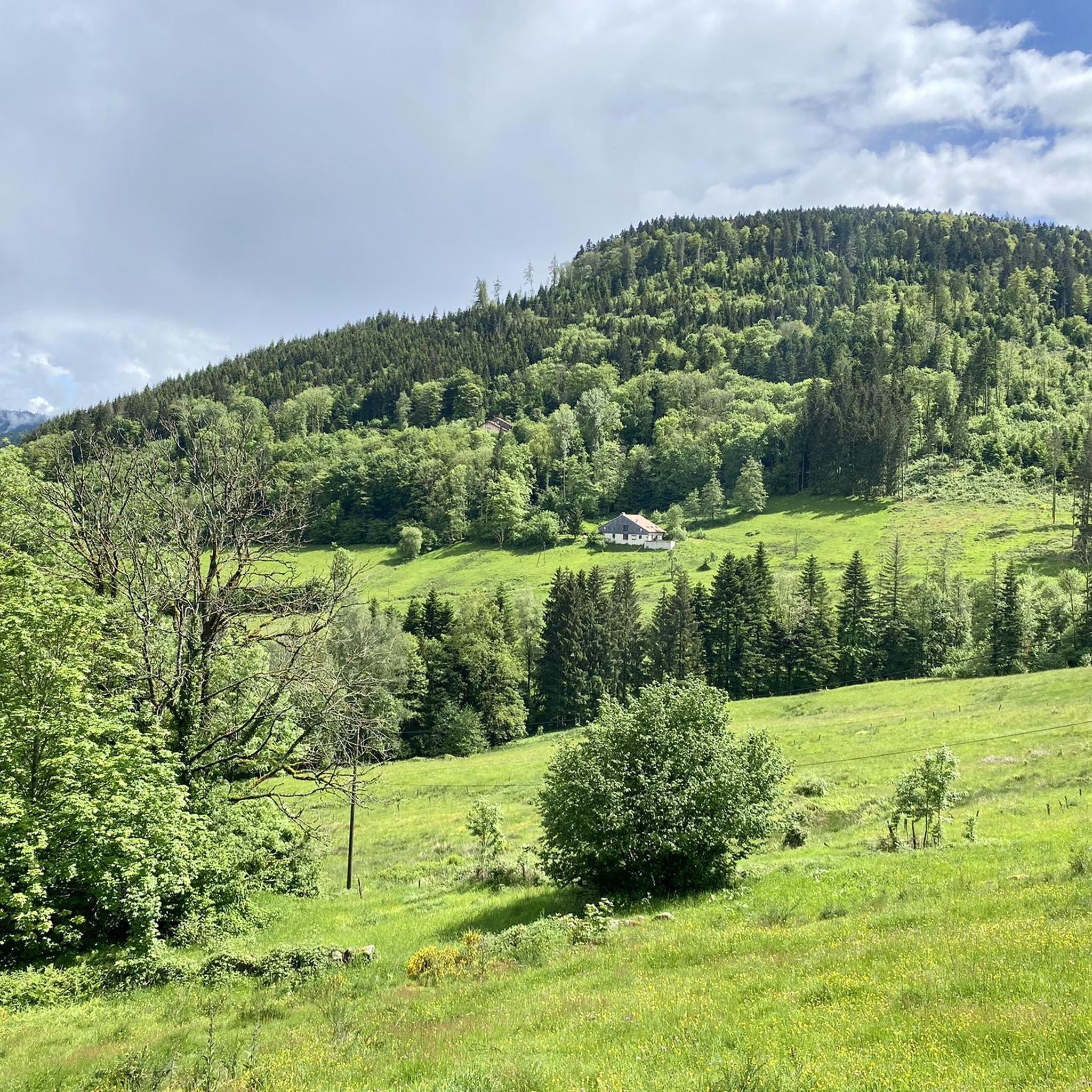
Road cycling routes around Thiéfosse are situated in the heart of the Vosges mountains, characterized by rolling hills, dense forests, and challenging mountain passes. The region features significant elevation changes, with routes often traversing cols and offering panoramic views of the surrounding landscape. Road cyclists can expect a terrain composed of well-maintained roads winding through valleys and ascending to higher elevations.
Best road cycling routes around Thiéfosse
- The most popular road cycling route is Col de la Schlucht – Col…
Last updated: May 25, 2026
3.0
(1)
226
riders
78.2km
03:53
1,200m
1,200m
Hard road ride. Very good fitness required. Mostly well-paved surfaces and easy to ride.
4.3
(4)
205
riders
87.4km
04:52
1,750m
1,750m
Hard road ride. Very good fitness required. Some segments of this route may be unpaved and difficult to ride.

Sign up for free
56
riders
124km
06:33
2,290m
2,290m
Hard road ride. Very good fitness required. Some segments of this route may be unpaved and difficult to ride.
5.0
(2)
52
riders
Moderate road ride. Good fitness required. Mostly well-paved surfaces and easy to ride.
51
riders
26.4km
01:04
130m
130m
Easy road ride. Great for any fitness level. Mostly well-paved surfaces and easy to ride.
Get access to more routes and recommendations from other explorers.
Sign up for free
Already have an account?
Our route recommendations are based on thousands of hikes, rides, and runs completed by other people on komoot.
Start today with a free account
Your next adventure awaits.
Login or Signup

Tips from the Community


Monumental, what a climb
0
0

Easy hike to do with children
0
0

At the pass, the paved Chemin Béry forest road leads to the Col de la Vierge after 2 km and Lac des Corbeaux after 4.5 km. Driving down from the pass towards La Bresse, after 1 km you will reach a fork in the road. Turn right onto the quiet D34 A departmental road, the Route des Américains, which climbs to the Vosges ridge road, the Route des Crêtes. There it joins the Col de Rothenbach with its striking summit. The Route des Américains is 5 km long and has an elevation gain of almost 280 meters.
0
0

The route is not accessible! It's cordoned off with tape and prohibited.
1
0

The bridge is closed due to the risk of falling.
2
0
The Rothenbachkopf in the High Vosges Mountains lies a few meters east of the Route des Crêtes (D430) between the Batteriekopf and the Col de la Schlucht in the Haut-Rhin department. It can also be reached via the D34a, the Route des Américains, at the junction with the D34, the Route de Bramont. The treeless, grassy Rothenbachkopf is distinguished by its striking, relatively flat ridge topped by a small summit. Hiking trails run along the ridge, and paragliders also use it as a launching point in good weather.
0
0

Very enjoyable segment. Nicely consistent if ascending with nice views. But even better enjoying the straight downhill. You will be sharing the road with cars, but relatively to a "yellow" street, it is okay.
0
0
Frequently Asked Questions
What kind of terrain can I expect on road cycling routes around Thiéfosse?
The Thiéfosse region, nestled in the Vosges mountains, is characterized by rolling hills, dense forests, and challenging mountain passes. You'll encounter significant elevation changes, with routes often traversing cols and offering panoramic views. The roads are generally well-maintained, winding through valleys and ascending to higher elevations.
Are there road cycling routes suitable for beginners or those looking for an easier ride?
Yes, while the region is known for its challenging climbs, there are options for less experienced riders. Out of over 150 routes, 26 are classified as easy, and 71 are moderate. These routes typically feature less intense elevation gains and shorter distances, allowing for a more relaxed cycling experience.
Where can I find challenging road bike climbs in the Thiéfosse area?
Thiéfosse is ideal for challenging climbs, with 53 difficult routes available. Notable options include the Grand Ballon – Markstein loop from Saulxures-sur-Moselotte, which features significant elevation gain towards the Grand Ballon, the highest peak in the Vosges. Another demanding ride is the Ballon d'Alsace – Col du Ballon d'Alsace loop from Saulxures-sur-Moselotte, known for its extensive climbs and forested slopes.
What are some scenic viewpoints or natural attractions I can see while road cycling near Thiéfosse?
The routes often pass by stunning natural features. You might encounter the Crosery Gorges or the impressive Bouchot Waterfalls. For panoramic views, the Haut du Roc Cross offers a great vantage point.
What is the best season for road cycling in Thiéfosse?
The best season for road cycling in Thiéfosse is typically from late spring to early autumn (May to October). During these months, the weather is generally milder, and mountain passes are clear of snow, offering optimal conditions for exploring the region's diverse terrain and enjoying the lush Vosges landscapes.
Are there any loop road cycling routes available around Thiéfosse?
Yes, the majority of road cycling routes around Thiéfosse are designed as loops, allowing you to start and finish at the same point. For example, the Church in La Bresse – Croix des Moinats Pass loop from Saulxures-sur-Moselotte is a popular moderate option, and the Col de la Schlucht – Col de Bramont loop from Saulxures-sur-Moselotte provides a more difficult challenge.
What do other road cyclists say about the routes in Thiéfosse?
The road cycling routes in Thiéfosse are highly regarded by the komoot community, holding an average rating of 4.6 stars from over 220 reviews. Cyclists frequently praise the challenging mountain passes, the beauty of the forested slopes, and the scenic valleys that define the region's cycling experience.
How many road cycling routes are available in the Thiéfosse area?
There are over 150 road cycling routes available around Thiéfosse, catering to various skill levels from easy to difficult. This extensive network ensures a wide range of options for exploration.
Are there any specific routes that are less crowded for a more peaceful ride?
While specific crowd levels can vary, exploring some of the moderate or easy routes, especially during off-peak times or weekdays, can offer a more tranquil experience. Routes like the Roadbike loop from Saulxures-sur-Moselotte might provide a quieter ride compared to the more famous mountain pass circuits.
What are the typical distances for road cycling routes in Thiéfosse?
Route distances in Thiéfosse vary significantly. You can find shorter loops, such as the Church in La Bresse – Croix des Moinats Pass loop at approximately 27 km, up to much longer and more demanding rides like the Ballon d'Alsace – Col du Ballon d'Alsace loop, which spans about 124 km.
What kind of road conditions can I expect during winter in Thiéfosse?
Winter conditions in the Vosges mountains, where Thiéfosse is located, can be challenging for road cycling. Higher elevation passes are often closed due to snow and ice, and temperatures can be very low. It's advisable to check local weather and road conditions before planning any winter rides, as many routes may be impassable or hazardous.
Most popular attractions around Thiéfosse

Get inspired with the komoot mobile app


Explore more
Browse the best Road cycling routes in other regions.
