The best MTB trails around Fêche-L'Église
4.3
(339)
1,496
riders
187
rides
Mountain bike trails around Fêche-l'Église are situated in the Territoire de Belfort department of northeastern France, offering diverse landscapes for cycling. The region lies in the foothills of the Jura mountains, with the Vosges mountains visible to the north. Mountain bikers can explore routes winding through forests, open countryside, and valleys with streams. The area also features car-free trails along the historic Canal de Montbéliard à la Haute-Saône.
Best mountain bike trails around Fêche-L'Église
- The most popular mountain bike trail…
Last updated: July 13, 2026
4.4
(7)
49
riders
39.5km
04:14
900m
900m
Hard mountain bike ride. Good fitness required. Advanced riding skills necessary. Some portions of the route may require you to push your bike.
4.5
(2)
37
riders
51.4km
04:50
960m
960m
Hard mountain bike ride. Very good fitness required. Advanced riding skills necessary. Some portions of the route may require you to push your bike.

Sign up for free
4.3
(3)
16
riders
35.6km
03:20
580m
580m
Hard mountain bike ride. Good fitness required. Advanced riding skills necessary. Some portions of the route may require you to push your bike.
5.0
(1)
3
riders
23.4km
02:18
450m
450m
Hard mountain bike ride. Good fitness required. Advanced riding skills necessary. Some portions of the route may require you to push your bike.
3.9
(8)
4
riders
25.3km
02:10
440m
440m
Moderate mountain bike ride. Good fitness required. Suitable for all skill levels.
Get access to more routes and recommendations from other explorers.
Sign up for free
Already have an account?
Our route recommendations are based on thousands of hikes, rides, and runs completed by other people on komoot.
Start today with a free account
Your next adventure awaits.
Login or Signup
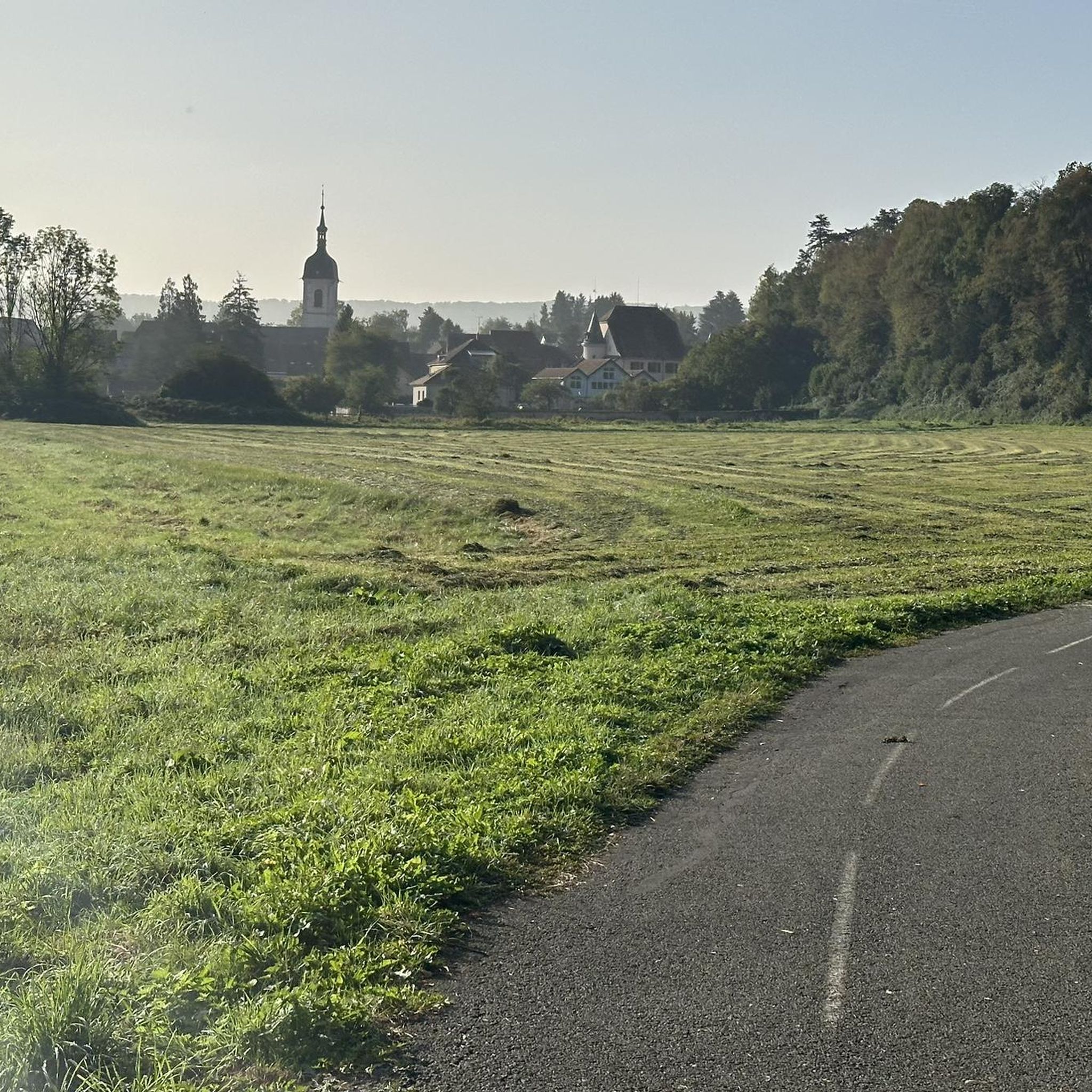
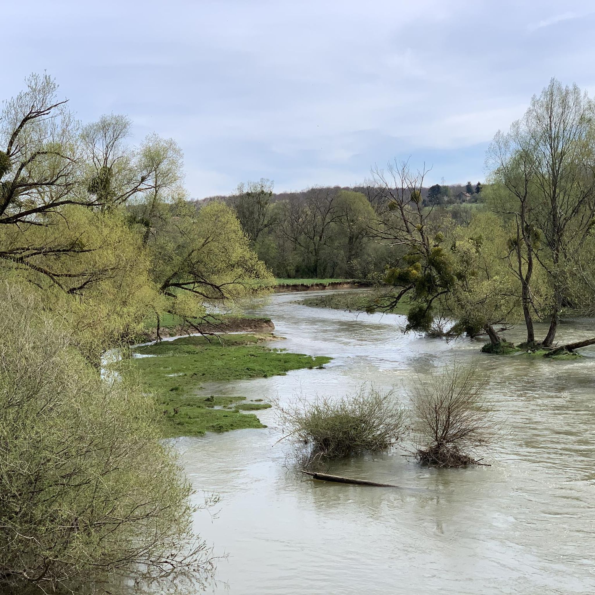
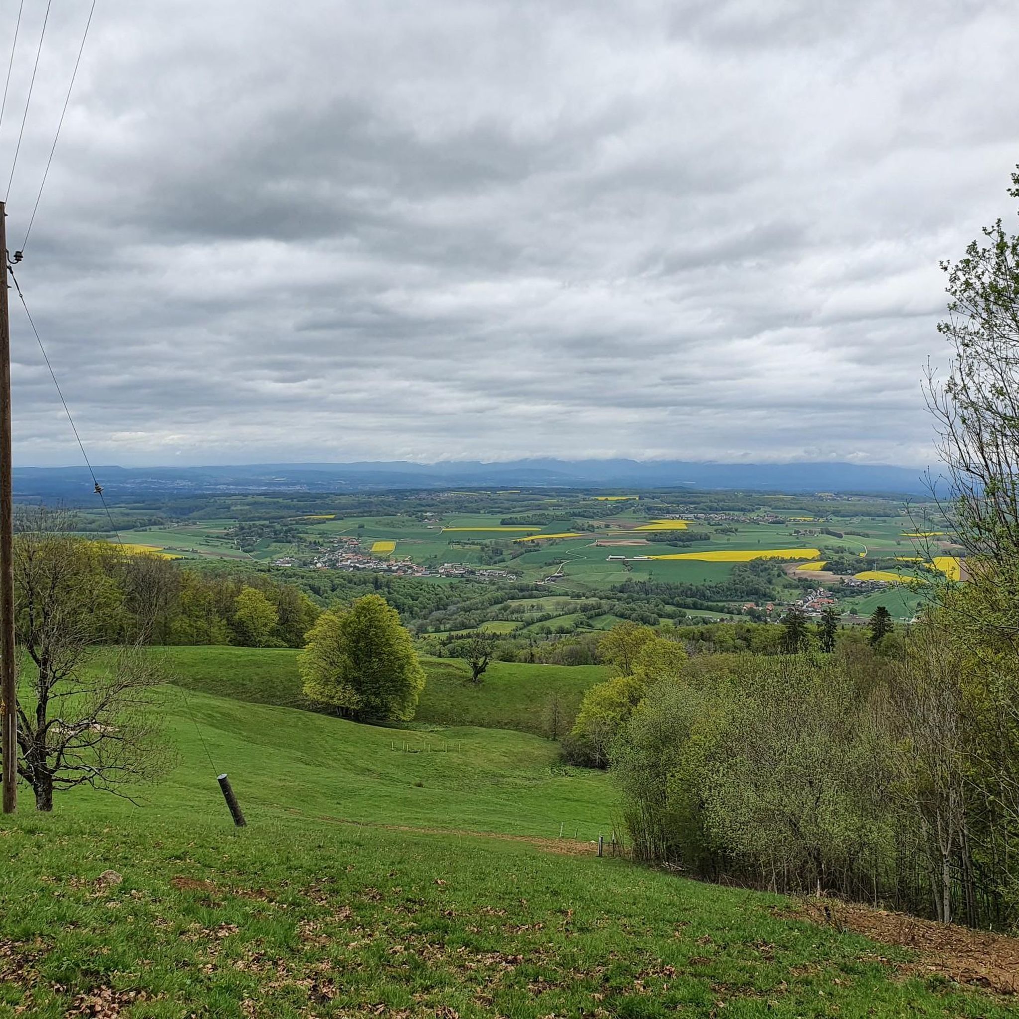


Tips from the Community


A "chemin de halage", in German "treidelpfad", which runs alongside the waterway right next to the bed of the river or canal, was an indispensable part of the transport infrastructure in earlier times. Before ships could move using motor power, horses ran along the bank and pulled the ship against the current. This was called "treideln", and this is how the "treidelpfads" got their name, which has been passed down to this day. Where these paths directly on the bank have been preserved, they are often used by hikers and cyclists.
0
1

pretty little Chalet found by chance not far from the 5 sapins very beautiful place a little bit arranged inside joker looters vandals refrain leave the place as you find it thank you
0
0

Very nice and quiet place.
0
0
Really nice outing, slightly technical
0
0

Nice bike path and beautiful scenery.
1
0

Quiet connecting road between the towns of Lebetain and Villars-le-Sec. Asphalt is good. I didn't see anything of the actual highlight, "The Devil's Steps".
0
0

Frequently Asked Questions
How many mountain bike trails are there around Fêche-L'Église?
There are over 200 mountain bike trails around Fêche-L'Église, catering to various skill levels. You'll find a good mix of routes, with approximately 18 easy, 90 moderate, and 96 difficult options to explore.
What kind of terrain can I expect on mountain bike trails in Fêche-L'Église?
The terrain around Fêche-L'Église is quite diverse. You can expect trails winding through dense forests, open countryside, and picturesque valleys with small streams. Some routes also incorporate sections along the historic Canal de Montbéliard à la Haute-Saône, offering car-free and scenic paths.
Are there any family-friendly mountain bike trails in Fêche-L'Église?
Yes, Fêche-L'Église offers several easier mountain bike routes suitable for families. While specific family-friendly routes are not detailed here, the region has 18 easy trails that are generally more accessible. Look for routes with lower elevation gains and shorter distances for a pleasant family outing.
What are some notable natural attractions or landmarks I can see while mountain biking?
The region boasts several unique natural attractions. You could encounter the Pont Sarrazin Natural Arch, a natural arch steeped in local legend, or the fascinating Dinosaur Tracks of Pommerat. Another charming spot is The Autrage Oak "The Unparalleled", a creatively decorated oak tree resembling a hobbit treehouse.
Are there any trails that feature waterfalls or springs?
Yes, you can find routes that pass by beautiful water features. For instance, the Doue Spring – Pont Sarrazin loop from Badevel will take you past the Doue Spring, offering a refreshing stop along your ride.
What do other mountain bikers say about the trails in Fêche-L'Église?
The mountain bike trails around Fêche-L'Église are highly regarded by the komoot community, with an average rating of 4.3 stars from over 290 reviews. Many riders appreciate the diverse landscapes, from dense woodlands to scenic canal paths, and the variety of routes available for different skill levels.
Are there any circular mountain bike routes available?
Yes, many of the trails around Fêche-L'Église are designed as loops, allowing you to start and end at the same point. Examples include the Pont Sarrazin Natural Arch – Viewpoint of Vandoncourt loop from Badevel and the Château Washhouse – EuroVelo 6 at Bourogne loop from Badevel.
Can I find trails that offer panoramic views?
Absolutely. The geographical position of Fêche-L'Église, nestled in the foothills of the Jura mountains, provides breathtaking panoramic views. Trails often offer glimpses of the majestic Jura mountains to the south and the Vosges mountains to the north. The Mont Renaud Observation Tower is also a great spot for expansive views.
Are there any historical points of interest along the mountain bike routes?
Yes, the region has a rich historical heritage. You can ride along sections of the Canal de Montbéliard à la Haute-Saône, a historic waterway originally built for trade. Additionally, the nearby Sentier des Passeurs is a historical path known for its role during World War II, offering a blend of nature and history.
What is the best season for mountain biking in Fêche-L'Église?
While mountain biking is enjoyable in Fêche-L'Église for much of the year, spring and autumn generally offer the most pleasant conditions with milder temperatures and beautiful scenery. Summer can also be great, but be prepared for warmer weather. Winter riding is possible, but trails may be muddy or have snow, especially at higher elevations.
Are there any trails that follow the EuroVelo 6 route?
Yes, some mountain bike routes in the area incorporate sections of the EuroVelo 6. For example, the Château Washhouse – EuroVelo 6 at Bourogne loop from Badevel includes parts of this scenic canal path, offering a smooth and enjoyable ride.
What are some of the longer, more challenging mountain bike routes?
For experienced riders seeking a challenge, Fêche-L'Église offers several difficult and longer routes. The Doue Spring – Pont Sarrazin loop from Badevel is one of the longest at 57.3 km, while the Devil's footsteps – Viewpoint of Vandoncourt loop from Badevel covers 51.4 km with significant elevation changes.
Most popular routes around Fêche-L'Église
Most popular attractions around Fêche-L'Église

Get inspired with the komoot mobile app


Explore more
Browse the best MTB trails in other regions.
