The best walks and hikes around Faverach
4.4
(128)
775
hikers
91
hikes
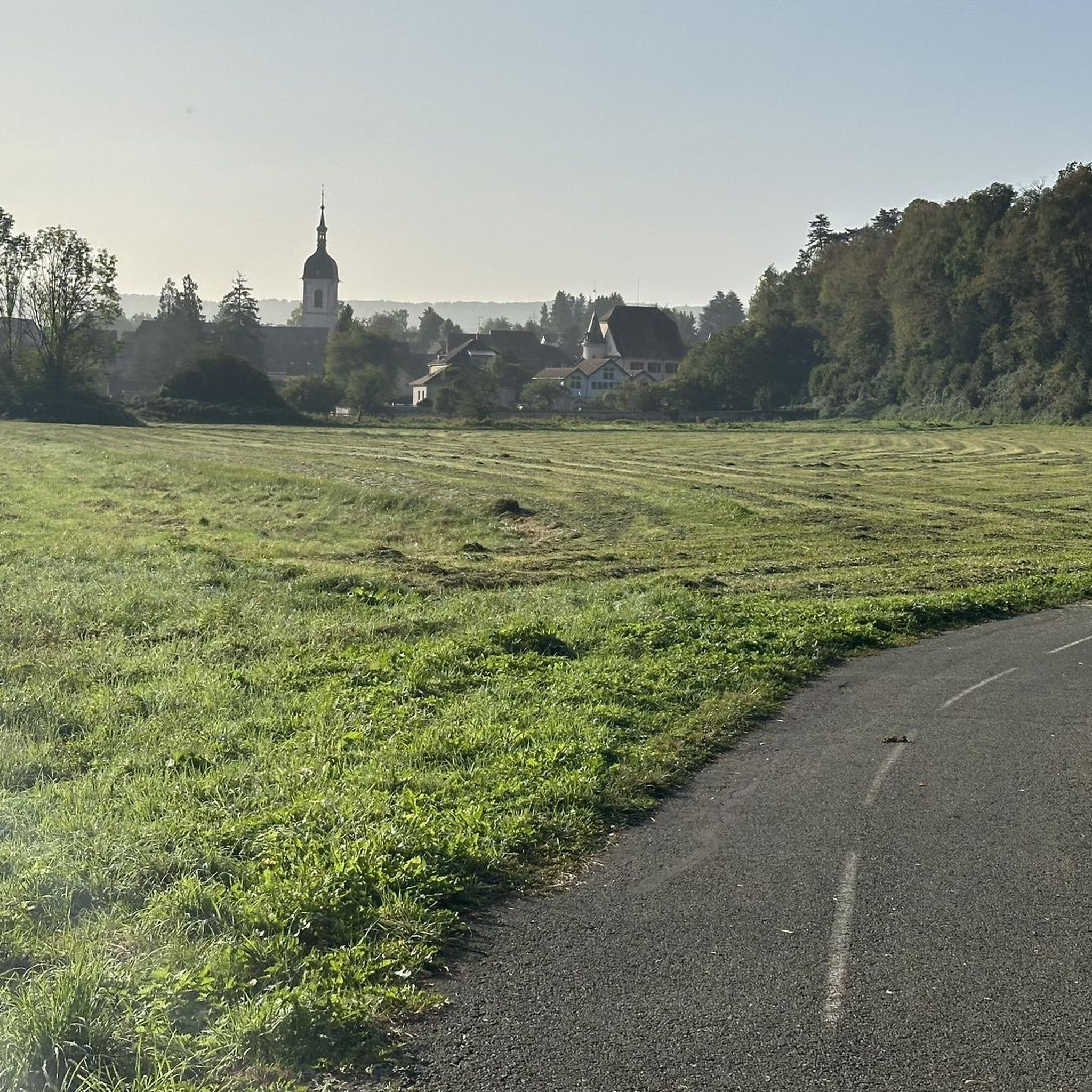
Hiking around Faverach offers a variety of trails through a landscape characterized by gentle hills and bodies of water like Étang Verchat. The region features a mix of open areas and wooded sections, providing diverse natural settings for outdoor activities. Elevations are generally modest, with some routes leading to observation points such as Mont Renaud. The terrain is suitable for various hiking abilities, from short, easy walks to longer, moderate excursions.
Best hiking trails around Faverach
- The most popular hiking…
Last updated: July 5, 2026
4.6
(7)
38
hikers
8.81km
02:19
80m
80m
Moderate hike. Good fitness required. Easily-accessible paths. Suitable for all skill levels.
4.5
(2)
45
hikers
2.26km
00:35
10m
10m
Easy hike. Great for any fitness level. Easily-accessible paths. Suitable for all skill levels.

Sign up for free
5.0
(2)
8
hikers
8.75km
02:26
170m
170m
Moderate hike. Good fitness required. Easily-accessible paths. Suitable for all skill levels.
18
hikers
2.99km
00:51
70m
70m
Easy hike. Great for any fitness level. Easily-accessible paths. Suitable for all skill levels.
5.0
(1)
11
hikers
4.49km
01:18
110m
120m
Easy hike. Great for any fitness level. Easily-accessible paths. Suitable for all skill levels.
Get access to more routes and recommendations from other explorers.
Sign up for free
Already have an account?
Our route recommendations are based on thousands of hikes, rides, and runs completed by other people on komoot.
Start today with a free account
Your next adventure awaits.
Login or Signup




Tips from the Community

To the right and left of the path are numerous works of art made from agricultural equipment.
2
0

There are also several benches for resting.
0
0
The view from the memorial across the valley is superb.
2
0
Observation tower with a great view of the Vosges Mountains and the Swiss Jura.
2
0

Lonely area along the Swiss-French border.
0
0
These magnificent sculptures were created from old agricultural implements. Whether it's a spider or an ant is anyone's guess. Absolutely stunning.
0
0
Do you recognize the characters? Is it the prince?
0
0
Frequently Asked Questions
How many hiking trails are available in the Faverach region?
The Faverach region offers a wide selection of hiking opportunities, with over 80 routes recorded on komoot. These trails cater to various skill levels, from easy strolls to more challenging moderate excursions.
Are there easy hiking trails suitable for beginners or families in Faverach?
Yes, Faverach has numerous easy trails perfect for beginners and families. For instance, the Étang Verchat loop from Joncherey is a gentle 1.4-mile (2.3 km) path that takes about 34 minutes to complete, offering pleasant natural surroundings.
What are some options for longer or more challenging hikes in Faverach?
For those seeking a longer experience, the Tour du Mont Renaud – Mont Renaud Observation Tower loop from Delle is a moderate 5.7-mile (9.1 km) trail. It leads to the Mont Renaud Observation Tower, providing panoramic views and a good workout.
Are there circular hiking routes available in Faverach?
Many of the trails in Faverach are designed as circular routes, allowing you to start and end at the same point. A popular example is the Étang Verchat loop from Boron, which circles the lake and offers scenic views.
What kind of scenery can I expect while hiking around Faverach?
Hiking in Faverach is characterized by gentle hills, tranquil bodies of water like Étang Verchat, and a mix of open fields and mixed woodlands. Some routes also lead to observation points, offering expansive views of the landscape.
Are there any interesting landmarks or attractions to see along the hiking trails?
Yes, the region offers several points of interest. You might encounter the Valdieu-Lutran lock scale, or explore areas near the Canal du Rhône au Rhin. The Three Powers Boundary Stone is another notable historical landmark.
Is parking generally available at the trailheads in Faverach?
While specific parking details vary by trailhead, many routes in Faverach, such as those starting 'from Boron' or 'from Delle', are designed to be accessible by car, implying parking facilities are often available nearby or at the starting points of the trails.
What do other hikers enjoy most about the trails in Faverach?
The komoot community highly rates the trails in Faverach, with an average score of 4.2 stars. Hikers often praise the region's diverse natural settings, the tranquility of the lakes, and the well-maintained paths that cater to various abilities.
Can I bring my dog on the hiking trails in Faverach?
Generally, dogs are welcome on hiking trails in Faverach, especially in natural areas. However, it's always recommended to keep them on a leash, especially near wildlife or in agricultural zones, and to check for any specific local regulations or signage on individual routes.
When is the best time of year to go hiking in Faverach?
Faverach's gentle terrain and mixed woodlands make it suitable for hiking throughout much of the year. Spring and autumn offer pleasant temperatures and beautiful foliage, while summer provides longer daylight hours. Even winter hiking is possible, though conditions may vary.
Are there any routes that offer panoramic views?
Yes, several routes lead to elevated points that provide excellent vistas. The Mont Renaud Observation Tower loop from Boncourt is a great option for panoramic views of the surrounding Faverach landscape.
How long do hikes in Faverach typically take?
Hike durations in Faverach vary significantly. You can find short walks like the Étang Verchat loop from Joncherey, which takes about 34 minutes, to longer moderate trails such as the Hiking loop from Boron, which can take over an hour.
Most popular attractions around Faverach

Get inspired with the komoot mobile app


Explore more
Browse the best Hikes in other regions.
