The best walks and hikes around Guntscherach
4.3
(134)
792
hikers
98
hikes
Hiking around Guntscherach offers access to diverse landscapes within the broader Alsace region, characterized by its proximity to the Vosges mountains and extensive canal networks. The terrain includes rounded mountain summits, dense forests, and tranquil river valleys, alongside numerous ponds. This area provides a variety of trails suitable for exploring both natural features and charming village surroundings.
Best hiking trails around Guntscherach
- The most popular hiking route is Étang Verchat loop from Boron, a 5.5 miles (8.8 km) trail…
Last updated: July 2, 2026
4.6
(7)
38
hikers
8.81km
02:19
80m
80m
Moderate hike. Good fitness required. Easily-accessible paths. Suitable for all skill levels.
4.5
(2)
45
hikers
2.26km
00:35
10m
10m
Easy hike. Great for any fitness level. Easily-accessible paths. Suitable for all skill levels.

Sign up for free
5.0
(2)
8
hikers
8.75km
02:26
170m
170m
Moderate hike. Good fitness required. Easily-accessible paths. Suitable for all skill levels.
5
hikers
6.00km
01:36
70m
70m
Easy hike. Great for any fitness level. Easily-accessible paths. Suitable for all skill levels.
3
hikers
4.02km
01:02
10m
10m
Easy hike. Great for any fitness level. Easily-accessible paths. Suitable for all skill levels.
Get access to more routes and recommendations from other explorers.
Sign up for free
Already have an account?
Our route recommendations are based on thousands of hikes, rides, and runs completed by other people on komoot.
Start today with a free account
Your next adventure awaits.
Login or Signup

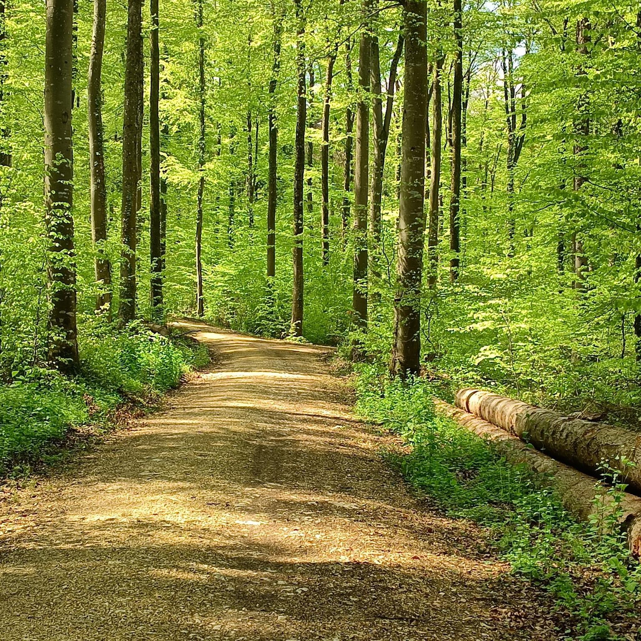
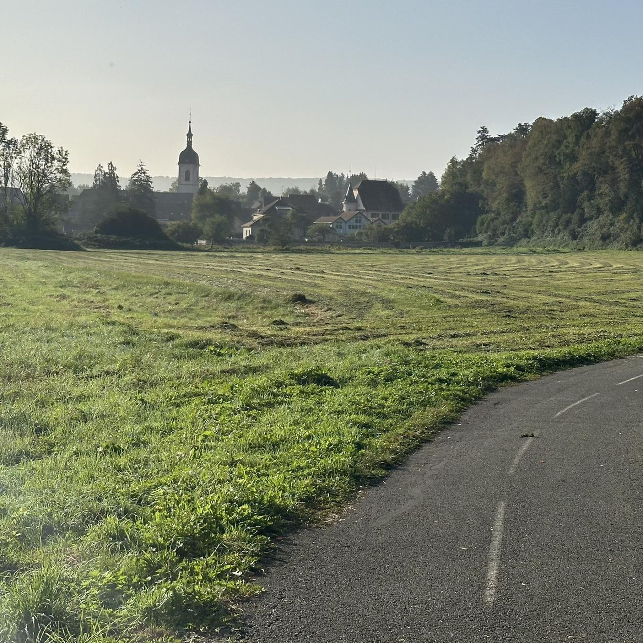
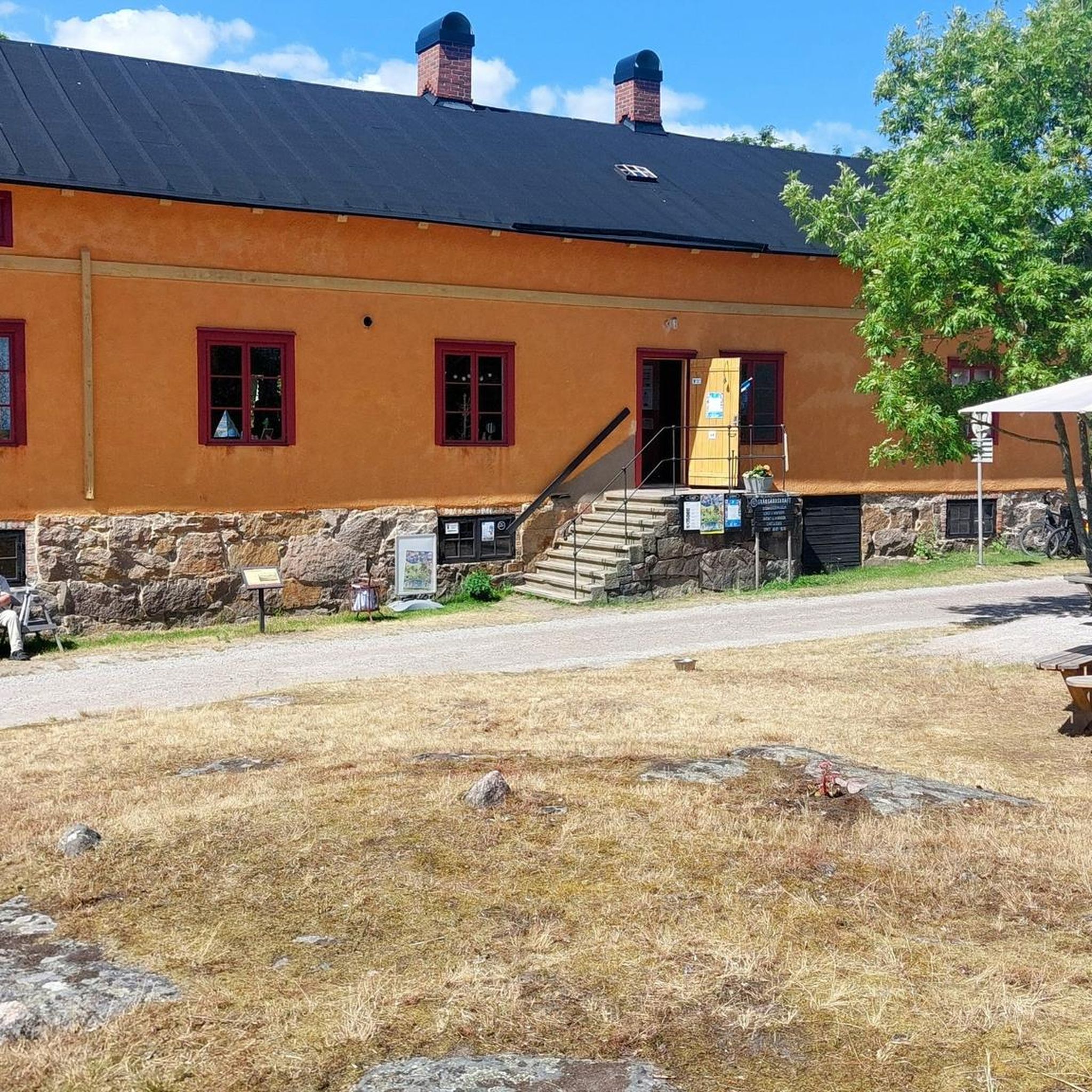

Tips from the Community

To the right and left of the path are numerous works of art made from agricultural equipment.
2
0

There are also several benches for resting.
0
0
The view from the memorial across the valley is superb.
2
0
Observation tower with a great view of the Vosges Mountains and the Swiss Jura.
2
0

Loop Loop completed with our travel gravel bikes, on one day without luggage. A quick stop in Delle for a very good kebab.
0
0

Lonely area along the Swiss-French border.
0
0
These magnificent sculptures were created from old agricultural implements. Whether it's a spider or an ant is anyone's guess. Absolutely stunning.
0
0
Do you recognize the characters? Is it the prince?
0
0
Frequently Asked Questions
How many hiking trails are available around Guntscherach?
There are over 90 hiking trails around Guntscherach, offering a wide variety of options for different skill levels and preferences. The region's diverse landscapes, from the Vosges mountain foothills to tranquil canal paths, ensure a rich hiking experience.
What is the best time of year for hiking in Guntscherach?
The Alsace region, including Guntscherach, is beautiful for hiking from spring through autumn. Spring brings blooming landscapes, while summer offers shaded forest trails. Autumn is particularly scenic with vibrant foliage in the Vosges mountains and vineyards. Winter hiking is also possible, especially on lower-elevation paths, though some mountain trails may require specific gear.
Are there easy hikes suitable for beginners or families near Guntscherach?
Yes, Guntscherach offers many easy hiking options, with over 50 routes classified as easy. These often include gentle strolls along canal networks or through charming villages. For example, the Étang Verchat loop from Joncherey is an easy 1.4-mile (2.3 km) path, ideal for a gentle walk around the pond. The extensive network of canals and former railway lines, like the Largue Valley Cycle Path, also provide car-free, well-paved routes suitable for families.
Can I find challenging hiking routes in the Guntscherach area?
While many routes are easy to moderate, the broader Alsace region, particularly the nearby Vosges mountains, offers more challenging ascents and longer trails. These can include steep paths and routes with significant elevation gain, providing a good workout for experienced hikers. There are 3 difficult routes available directly around Guntscherach for those seeking a greater challenge.
Are there circular hiking routes available?
Yes, many routes around Guntscherach are designed as loops, allowing you to start and end at the same point. Popular options include the Étang Verchat loop from Boron, a moderate 5.5-mile (8.8 km) trail, and the Tour du Mont Renaud – Mont Renaud Observation Tower loop from Delle, which is 5.6 miles (9.1 km) long.
What interesting places or landmarks can I explore while hiking?
The region around Guntscherach is rich in natural and historical landmarks. You can explore the extensive canal networks, such as the Canal du Rhône au Rhin or the Montbéliard–Haute-Saône Canal, which offer scenic paths. The Largue Valley Cycle Path also winds through picturesque ponds and villages. Additionally, the area features historical sites like the Maginot Line and numerous castles in the wider Alsace region, adding cultural richness to your outdoor experience.
Are there any trails with scenic views around Guntscherach?
Absolutely. The region offers diverse scenic views, from the tranquil beauty of ponds and river valleys to the panoramic vistas from the Vosges mountain foothills. Trails often pass through dense forests, open meadows, and charming Sundgau villages. The Tour du Mont Renaud – Mont Renaud Observation Tower loop from Delle, for instance, leads to an observation tower, likely offering elevated views.
Can I find trails that feature waterfalls or lakes?
Yes, the broader Alsace region is known for its natural water features. The Largue Valley, near Guntscherach, is characterized by numerous ponds, adding to the scenic beauty. Further afield in the Vosges, you can find glacial lakes like the Black and White Lakes, and impressive waterfalls such as the Hohwald waterfall and Cascade du Nideck, which can be incorporated into hiking routes.
Are dogs allowed on the hiking trails around Guntscherach?
Generally, dogs are welcome on hiking trails in the Alsace region, provided they are kept under control, especially in nature reserves or near livestock. It's always advisable to check local regulations for specific trails or protected areas. Many paths through forests and along canals are suitable for walks with your canine companion.
What do other hikers say about the trails around Guntscherach?
The trails around Guntscherach are highly rated by the komoot community, with an average score of 4.2 stars from over 100 reviews. Hikers often praise the diverse terrain, from tranquil pond loops to routes through varied landscapes, and appreciate the well-maintained paths that cater to different ability levels.
Is there public transport access to trailheads near Guntscherach?
While specific public transport connections to every trailhead might vary, the Alsace region generally has a good network of regional trains and buses connecting towns and villages. For detailed information on public transport options to specific starting points, it's recommended to check local transport schedules or consult the official tourism website for Alsace at visit.alsace.
Where can I find parking for hiking trails in Guntscherach?
Most villages and popular trail starting points in the Guntscherach area, and the wider Alsace region, offer designated parking areas. These can range from small village car parks to larger lots near popular natural attractions. It's often possible to find parking close to the beginning of many routes, especially those starting from towns like Boron or Delle.
Most popular routes around Guntscherach
Most popular attractions around Guntscherach

Get inspired with the komoot mobile app


Explore more
Browse the best Hikes in other regions.
