The best running trails around Saint-Vitte-Sur-Briance
3.9
(14)
294
runners
49
runs
Jogging routes around Saint-Vitte-Sur-Briance traverse a diverse landscape shaped by the Briance River, offering varied terrain from river valleys to elevated viewpoints. The region features wooded slopes, rocky outcrops, and hollow paths characteristic of the Limousin countryside. Ancient trees, including sequoias, oaks, and beeches, create shaded and picturesque running environments. This area provides a mix of moderate and challenging trails for runners.
Best jogging routes around Saint-Vitte-Sur-Briance
- The most popular jogging route is Running loop from Magnac-Vicq, a 4.6…
Last updated: June 24, 2026
4.0
(2)
10
runners
14.9km
01:48
260m
260m
Moderate run. Good fitness required. Mostly paved surfaces. Suitable for all skill levels.
10
runners
20.3km
02:25
400m
400m
Hard run. Very good fitness required. Mostly paved surfaces. Suitable for all skill levels.

Sign up for free
4
runners
10.2km
01:06
140m
140m
Moderate run. Good fitness required. Mostly paved surfaces. Suitable for all skill levels.
5
runners
7.91km
00:51
140m
140m
Moderate run. Good fitness required. Mostly paved surfaces. Suitable for all skill levels.
5.0
(1)
3
runners
10.4km
01:15
150m
150m
Moderate run. Good fitness required. Mostly paved surfaces. Suitable for all skill levels.
Get access to more routes and recommendations from other explorers.
Sign up for free
Already have an account?
Our route recommendations are based on thousands of hikes, rides, and runs completed by other people on komoot.
Start today with a free account
Your next adventure awaits.
Login or Signup

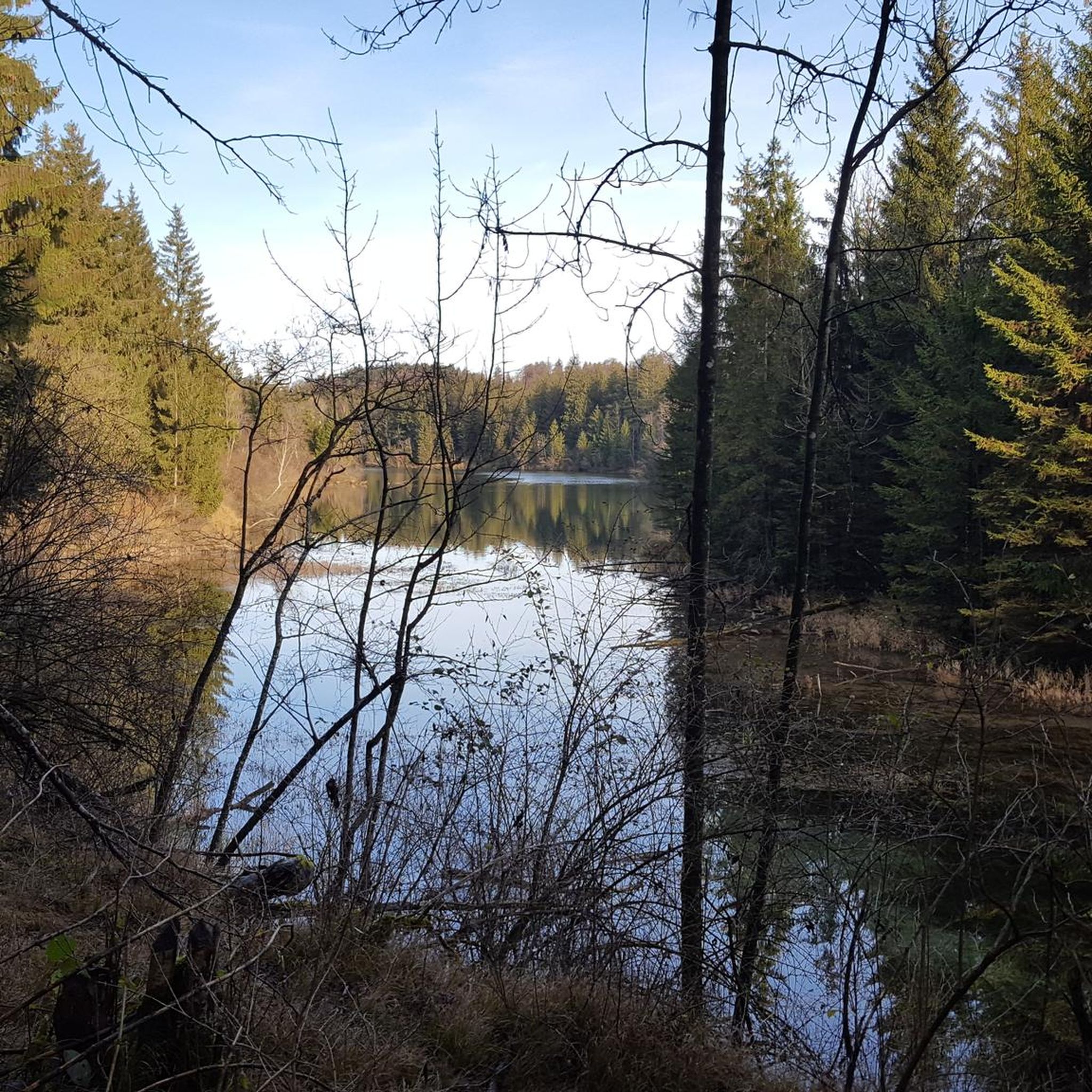
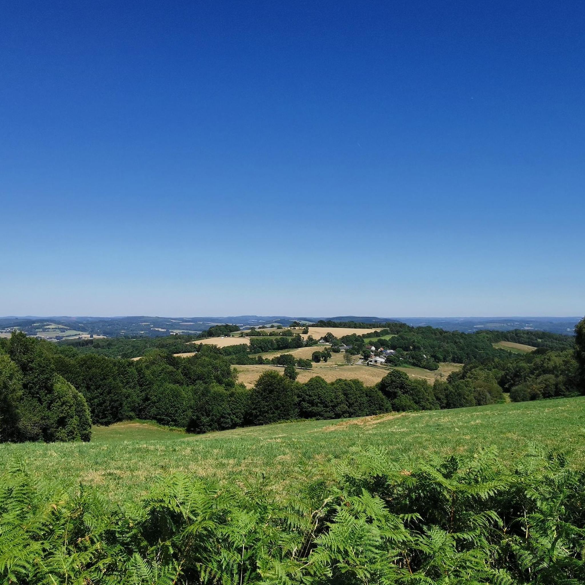
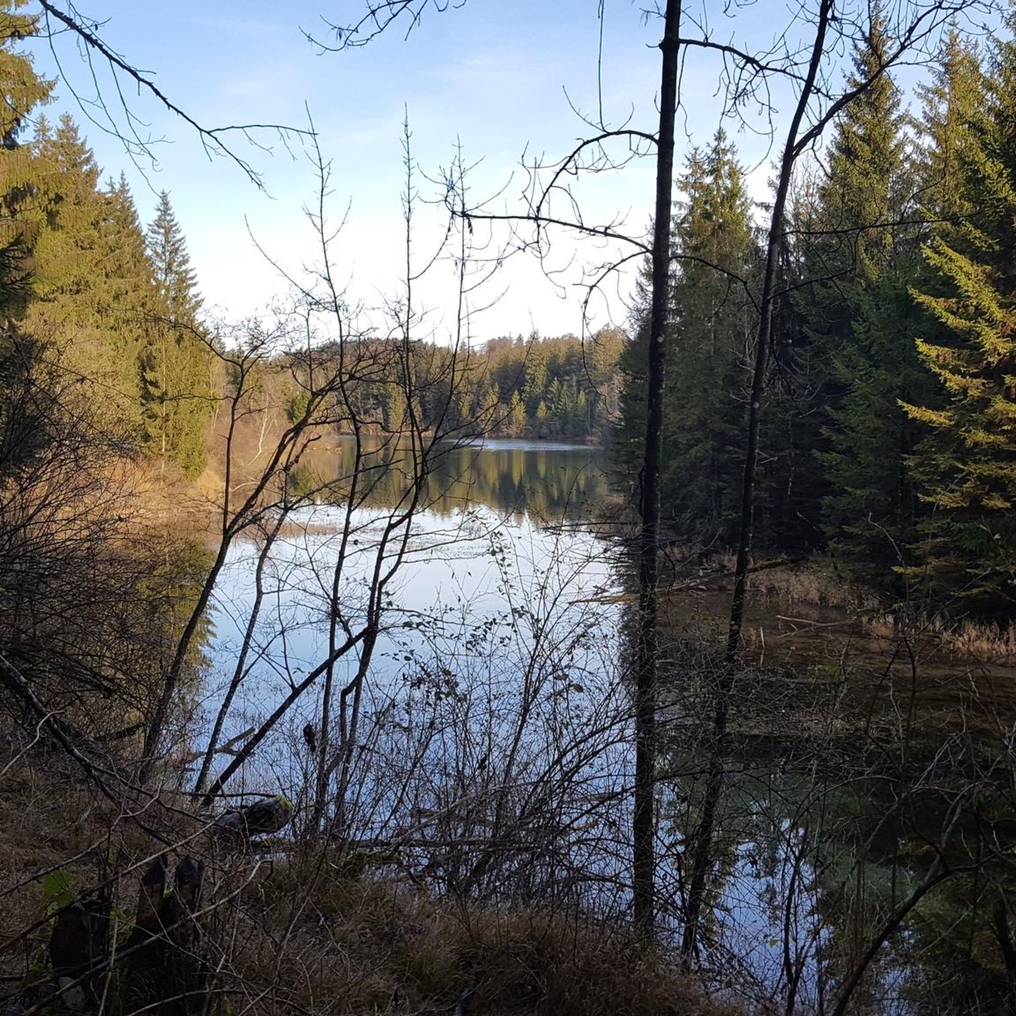
Tips from the Community

This tour is only possible when the weather is clear, as you will then have a breathtaking view.
0
0

A 730m summit which offers you magnificent views all around on the other summits of Limousin. Perched at the top, you will also find the charming remains of the Mont Gargan chapel built in the 1860s.
2
0
A 730m summit which offers you magnificent views all around on the other summits of Limousin. Perched at the top, you will also find the charming remains of the Mont Gargan chapel built in the 1860s.
2
0

Located in the town of Saint-Gilles-Les-Forêt, highest point at 730m, it offers a 360° panorama with two orientation tables. Accessible from the car park below about 300m. You will pass through a magnificent alley of century-old beech trees with twisting branches. On the summit you can see the remains of the Notre Dame du Bon Secours Chapel. Chapel which suffered from the vandalism of walkers. Some legends, which die hard, still circulate about Gargantua, hence the name: Mont Gargan... https://fr.wikipedia.org/wiki/Mont_Gargan grandsudinsolite.fr/2833-87-haute-vienne-le-mont-gargan--its-heritage-and-its-legends.html cc-briance-combade.com/tourisme/lieux-de-visites/
0
1
Frequently Asked Questions
How many running routes are available in the Saint-Vitte-sur-Briance area?
There are over 40 dedicated running routes around Saint-Vitte-sur-Briance, catering to various fitness levels. These include 2 easy routes, 31 moderate routes, and 8 more challenging options for experienced runners.
What kind of terrain can I expect on the jogging trails around Saint-Vitte-sur-Briance?
The terrain is quite diverse, shaped by the Briance River valley. You'll find a mix of wooded slopes, rocky outcrops, and characteristic 'hollow paths' of the Limousin countryside. Some sections are narrow and steep, while others are broader and more tranquil, offering a varied experience for runners.
Are there any easy or beginner-friendly running routes in Saint-Vitte-sur-Briance?
Yes, the region offers a couple of easy routes perfect for beginners or those looking for a relaxed run. While specific easy routes aren't highlighted in the intro, komoot lists 2 easy trails among its 40+ options, ensuring there's something for every ability.
Are there any circular running routes available?
Many of the routes in Saint-Vitte-sur-Briance are designed as loops, offering convenient circular options. For example, the Étang de Montréal loop from Saint-Germain-les-Belles is a moderate 10.2 km path that circles the scenic lake, providing a great circular running experience.
What are some notable natural features or attractions I might see while running?
The routes often pass through picturesque landscapes featuring ancient trees like sequoias, oaks, and beeches. You might also encounter rhododendron clusters, especially near historical sites. The Mont Gargan loop from La Croisille-sur-Briance, for instance, leads to Mont Gargan, offering exceptional panoramic views. Other attractions include the Landes de la Flotte et du Cluzeau, a natural monument, and the cascades of Moulin Brûlé on the Briance river.
Can I find running routes that offer scenic viewpoints?
Absolutely. The region is known for its scenic viewpoints. The Mont Gargan loop from La Croisille-sur-Briance is a prime example, leading to Mont Gargan which provides extensive panoramic views over the Millevaches plateau and beyond. Many trails also feature elevated sections with views over the Briance valley and the Limousin countryside.
What do other runners say about the trails in Saint-Vitte-sur-Briance?
The running routes in Saint-Vitte-sur-Briance are highly regarded by the komoot community, with an average rating of 3.7 stars from over 9 reviews. Runners often praise the varied terrain, the peaceful wooded paths, and the scenic beauty of the Briance River valley and surrounding Limousin landscapes.
Are there any routes that pass by lakes or water bodies?
Yes, several routes are near or loop around local water bodies. The Étang de Montréal loop from Saint-Germain-les-Belles is a popular moderate route that circles the scenic Étang de Montréal. The Plan d'eau de Châteauneuf-la-Forêt is also nearby, with surrounding paths suitable for jogging.
What is the best time of year for running in Saint-Vitte-sur-Briance?
The diverse landscapes, including wooded areas and river valleys, make Saint-Vitte-sur-Briance appealing for running throughout much of the year. Spring and autumn offer pleasant temperatures and beautiful foliage, while the ancient trees provide welcome shade during warmer summer months. Winter running is also possible, though some trails might be more challenging depending on conditions.
Are there any historical sites or landmarks accessible from the running trails?
Yes, the region has a rich history. The Ruins of the Chapel of Our Lady of Good Help, Mont Gargan are a significant historical site accessible via trails. You might also encounter the Montintin Castle or the Cécile Sabourdy Museums and Gardens in the vicinity, offering cultural points of interest alongside your run.
Are the running routes well-marked?
The region benefits from established trails, including the Briance Oxygène Trail and the Circuit des Mines d'Or de la Forêt de Champ Vert, which are generally well-marked. Komoot users often find the routes easy to follow, especially with the app's navigation features.
What is the longest running route available in the area?
One of the longer and more challenging options is the Plan d'eau des Forges loop from Cirat, which spans over 31 km with significant elevation gain, making it suitable for endurance runners.
Most popular routes around Saint-Vitte-Sur-Briance
Most popular attractions around Saint-Vitte-Sur-Briance

Get inspired with the komoot mobile app


Explore more
Browse the best Running Trails & Routes in other regions.
