The best walks and hikes around Sainte-Anne-Saint-Priest
4.6
(123)
518
hikers
57
hikes
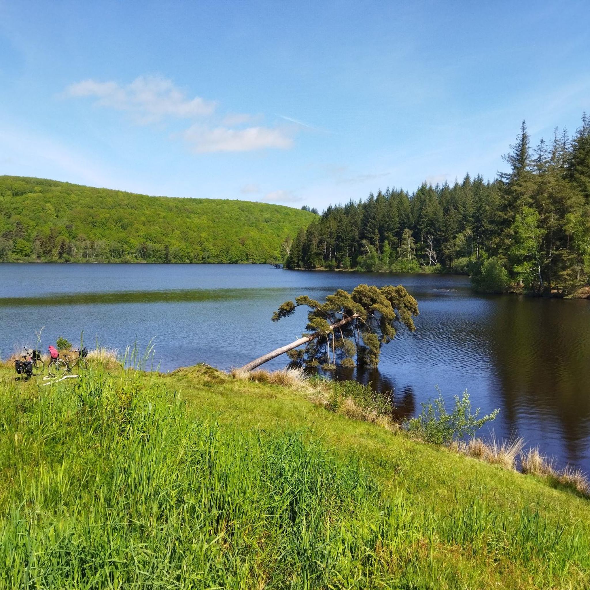
Hiking around Sainte-Anne-Saint-Priest offers diverse landscapes within the Regional Natural Park of Millevaches in Limousin, France. The area is characterized by a varied topography, including forests, open landscapes, and waterways. Hikers can expect a mix of terrain, with routes that often feature small built heritage elements and provide panoramic views from elevated points.
Best hiking trails in Sainte-Anne-Saint-Priest
- The most popular hiking route is Hiking loop from Sussac, a 12.6 miles (20.4 km) trail that takes 5 hours 57…
Last updated: July 1, 2026
4.8
(4)
25
hikers
20.4km
05:57
570m
570m
Hard hike. Very good fitness required. Easily-accessible paths. Suitable for all skill levels.
4.6
(7)
20
hikers
13.5km
03:53
320m
320m
Moderate hike. Good fitness required. Easily-accessible paths. Suitable for all skill levels.

Sign up for free
4.9
(7)
25
hikers
8.31km
02:20
170m
170m
Moderate hike. Good fitness required. Easily-accessible paths. Suitable for all skill levels.
5.0
(1)
9
hikers
16.4km
04:43
410m
410m
Moderate hike. Good fitness required. Easily-accessible paths. Suitable for all skill levels.
6
hikers
13.1km
03:41
260m
260m
Moderate hike. Good fitness required. Easily-accessible paths. Suitable for all skill levels.
Get access to more routes and recommendations from other explorers.
Sign up for free
Already have an account?
Our route recommendations are based on thousands of hikes, rides, and runs completed by other people on komoot.
Start today with a free account
Your next adventure awaits.
Login or Signup



Tips from the Community

This tour is only possible when the weather is clear, as you will then have a breathtaking view.
0
0

In the town of Eymoutiers, a diversion structure that carries water to the hydraulic plant. Dating from the beginning of the 19th century, this building is surprising with its parts dug into the rock, on the side of hills and its canals lined with stone walls. Typical of SNCF constructions, since it ran along an old tram line. The view of the factory spillway and the railway line is nonetheless surprising. https://www.mairie-eymoutiers.fr/histoire/histoire/electricite/
1
0

Nice place with picnic tables and beautiful view.
0
0

A 730m summit which offers you magnificent views all around on the other summits of Limousin. Perched at the top, you will also find the charming remains of the Mont Gargan chapel built in the 1860s.
2
0
A 730m summit which offers you magnificent views all around on the other summits of Limousin. Perched at the top, you will also find the charming remains of the Mont Gargan chapel built in the 1860s.
2
0

Entrance to the Allée des hêtres, which leads to Mot Gargan, via a small path. Around sixty large beech trees line the rather majestic driveway, thus forming a vegetal vault.
1
0
Pedestrian and cycle bridge of Eymoutiers on the Vienne. It connects the former Ursuline convent to the Pré Lanaut park.
1
0
Located in the town of Saint-Gilles-Les-Forêt, highest point at 730m, it offers a 360° panorama with two orientation tables. Accessible from the car park below about 300m. You will pass through a magnificent alley of century-old beech trees with twisting branches. On the summit you can see the remains of the Notre Dame du Bon Secours Chapel. Chapel which suffered from the vandalism of walkers. Some legends, which die hard, still circulate about Gargantua, hence the name: Mont Gargan... https://fr.wikipedia.org/wiki/Mont_Gargan grandsudinsolite.fr/2833-87-haute-vienne-le-mont-gargan--its-heritage-and-its-legends.html cc-briance-combade.com/tourisme/lieux-de-visites/
0
1
Frequently Asked Questions
How many hiking trails are available in Sainte-Anne-Saint-Priest?
There are over 50 hiking trails around Sainte-Anne-Saint-Priest, offering a wide range of options for all skill levels. You'll find 27 easy routes, 28 moderate routes, and 2 more challenging trails to explore.
What kind of landscapes can I expect to see while hiking in Sainte-Anne-Saint-Priest?
Hiking in Sainte-Anne-Saint-Priest, located within the Regional Natural Park of Millevaches in Limousin, offers a diverse mix of landscapes. You can expect to traverse forests, open fields, and areas alongside waterways. Many routes also feature small rural villages and elements of local heritage like dry stone walls.
Are there any circular hiking routes in Sainte-Anne-Saint-Priest?
Yes, many of the trails in the area are circular, allowing you to start and end your hike in the same location. A notable example is the Hiking loop from Sussac, which is a more challenging 20.4 km route. For a moderate option, consider the Bussy-Varache Canal loop from Bussy Varache.
What are some notable landmarks or points of interest to look out for on the trails?
While hiking, you might encounter several interesting landmarks. The region is known for its small built heritage, including wells and sunken paths. Specific points of interest include the Eymoutiers Footbridge and sections of the Bussy-Varache Canal. For panoramic views, the church of Sainte-Anne, part of the local 'Circuit des trois églises', is a highlight.
What is the best time of year to go hiking in Sainte-Anne-Saint-Priest?
The Limousin region generally offers pleasant hiking conditions from spring through autumn. Spring brings lush greenery and wildflowers, while autumn showcases vibrant fall foliage. Summer is also suitable, though it's advisable to start earlier in the day to avoid the midday heat. Winter hiking is possible but may require appropriate gear for colder, potentially wetter conditions.
Are there any family-friendly hiking options in the area?
Yes, Sainte-Anne-Saint-Priest offers several easier routes suitable for families. For instance, the Eymoutiers – Eymoutiers Footbridge loop from Eymoutiers is a moderate 8.3 km trail that can be completed in about 2 hours 20 minutes, making it a good option for a family outing.
What do other hikers say about the trails in Sainte-Anne-Saint-Priest?
The hiking trails in Sainte-Anne-Saint-Priest are highly regarded by the komoot community, holding an average rating of 4.6 stars from over 100 reviews. Hikers frequently praise the varied terrain, which includes forests, open landscapes, and waterways, as well as the charming rural villages and heritage features encountered along the way.
Is there public transport available to reach the hiking trailheads?
While specific public transport routes directly to every trailhead can be limited in rural areas, it's advisable to check local bus services or regional train connections to nearby towns like Eymoutiers. From there, you might need to arrange local transport or consider a short taxi ride to reach your desired starting point.
Where can I find parking for hiking trails in Sainte-Anne-Saint-Priest?
Parking is generally available near the starting points of popular trails and in the centers of small villages. For specific routes, it's often best to check the individual tour details on komoot, as they frequently include information on designated parking areas or suitable roadside spots.
Are there any longer, more challenging hikes for experienced trekkers?
For experienced trekkers seeking a challenge, the area does offer more demanding routes. The Hiking loop from Sussac is a difficult 20.4 km trail with significant elevation changes, typically taking nearly 6 hours to complete. This route provides a substantial workout amidst the region's varied topography.
Can I find information about the 'Circuit des trois églises'?
The 'Circuit des trois églises' (Circuit of the Three Churches) is a well-known local hiking trail that guides you through the churches of Sainte-Anne, Saint-Priest, and Villevaleix. This route, approximately 11.9 km long with 345 meters of elevation gain, offers panoramic views from Sainte-Anne and winds through forests, streams, and charming rural villages. You can find more details about this specific circuit on the Visit Limousin website.
Most popular routes around Sainte-Anne-Saint-Priest
Most popular attractions around Sainte-Anne-Saint-Priest

Get inspired with the komoot mobile app


Explore more
Browse the best Hikes in other regions.
