The best walks and hikes in Landkreis Birkenfeld
4.5
(14610)
48,545
hikers
1,597
hikes
Hiking in Landkreis Birkenfeld offers diverse landscapes, characterized by a varied low mountain range and extensive forests. The region is partly encompassed by the Hunsrück-Hochwald National Park, providing refuge for plants and animals. Hikers can explore unique geological formations and scenic river valleys like the Nagold and Nahe. The area features the Erbeskopf, the highest mountain in Rhineland-Palatinate, offering panoramic views.
Best hiking trails in Landkreis Birkenfeld
- The most popular hiking route is Hahnenbach Valley Dream Loop, a 5.9…
Last updated: August 30, 2026
4.9
(896)
2,644
hikers
9.52km
02:47
240m
240m
Moderate hike. Good fitness required. Mostly accessible paths. Sure-footedness required.
4.9
(726)
2,213
hikers
16.5km
04:55
500m
510m
Moderate hike. Good fitness required. Mostly accessible paths. Sure-footedness required.

Sign up for free
4.9
(57)
187
hikers
Easy hike. Great for any fitness level. Easily-accessible paths. Suitable for all skill levels.
4.8
(531)
1,811
hikers
9.05km
02:34
190m
200m
Moderate hike. Good fitness required. Easily-accessible paths. Suitable for all skill levels.
4.8
(532)
1,663
hikers
8.34km
02:27
230m
230m
Moderate hike. Good fitness required. Easily-accessible paths. Suitable for all skill levels.
4.9
(476)
1,554
hikers
11.5km
03:23
330m
320m
Moderate hike. Good fitness required. Mostly accessible paths. Sure-footedness required.
4.8
(298)
1,004
hikers
Hard hike. Very good fitness required. Mostly accessible paths. Sure-footedness required.
4.8
(335)
1,031
hikers
12.6km
03:45
360m
360m
Moderate hike. Good fitness required. Mostly accessible paths. Sure-footedness required.
4.8
(306)
895
hikers
Moderate hike. Good fitness required. Easily-accessible paths. Suitable for all skill levels.
4.7
(215)
801
hikers
Moderate hike. Good fitness required. Mostly accessible paths. Sure-footedness required.
Get access to more routes and recommendations from other explorers.
Sign up for free
Already have an account?
Our route recommendations are based on thousands of hikes, rides, and runs completed by other people on komoot.
Start today with a free account
Your next adventure awaits.
Login or Signup
Popular around Landkreis Birkenfeld
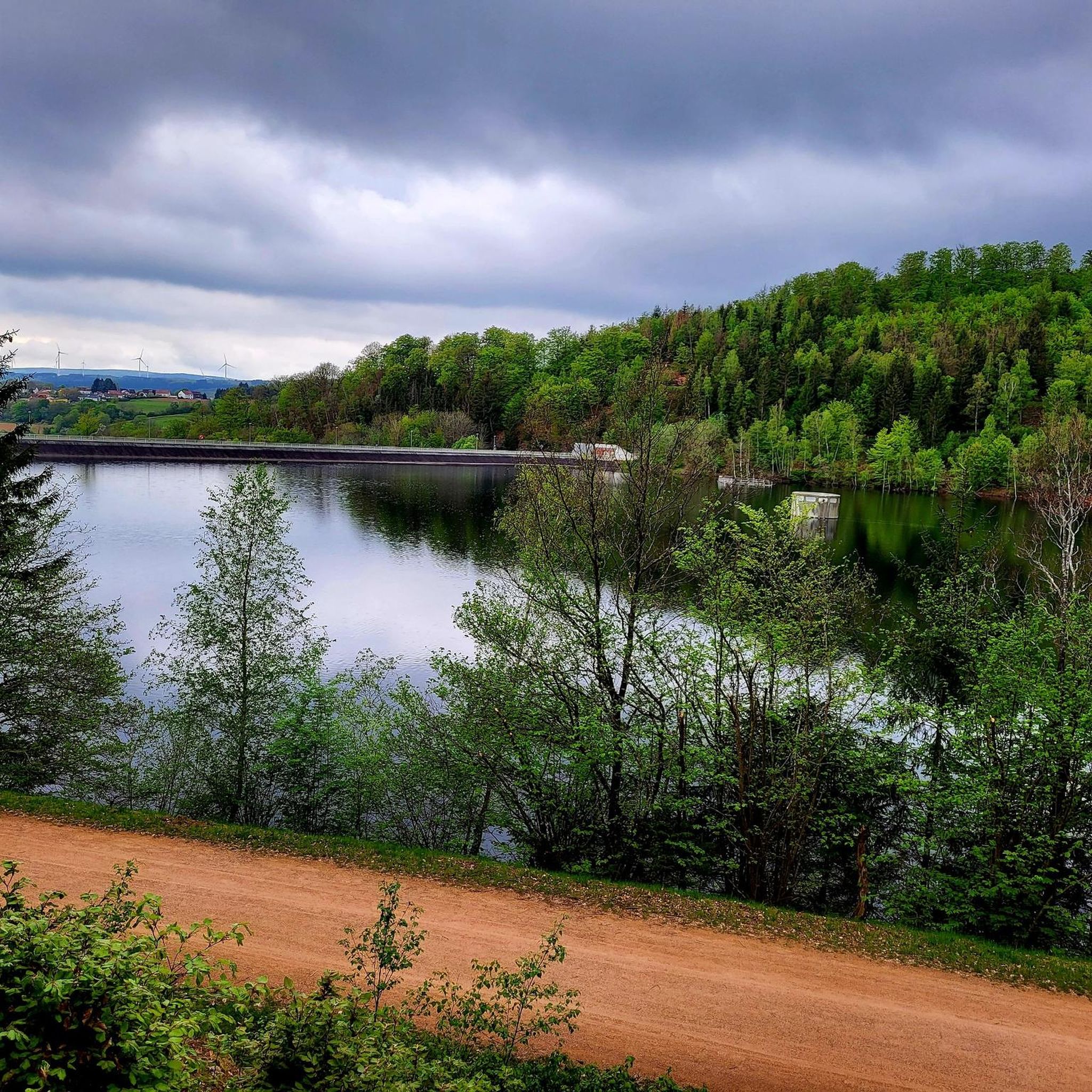
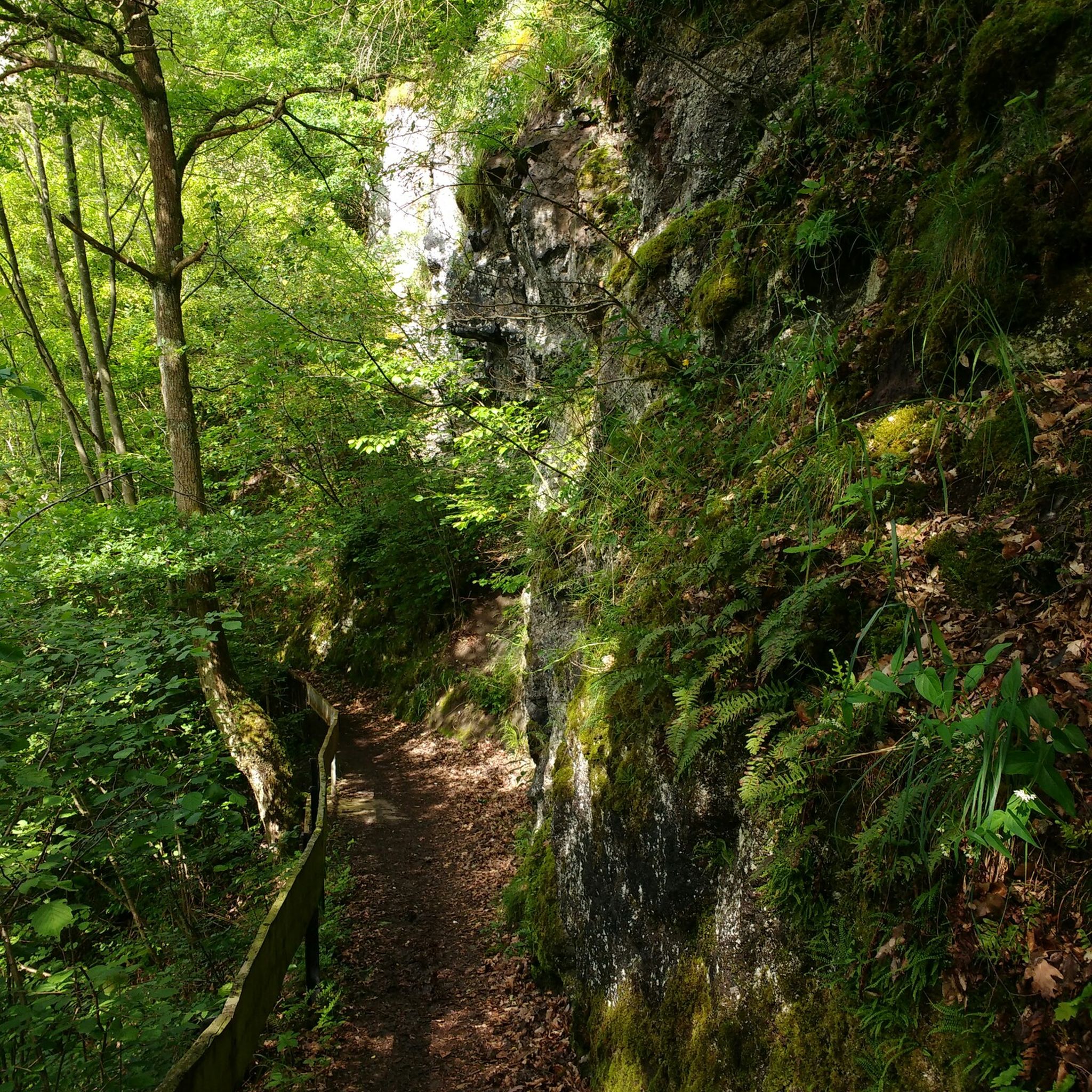
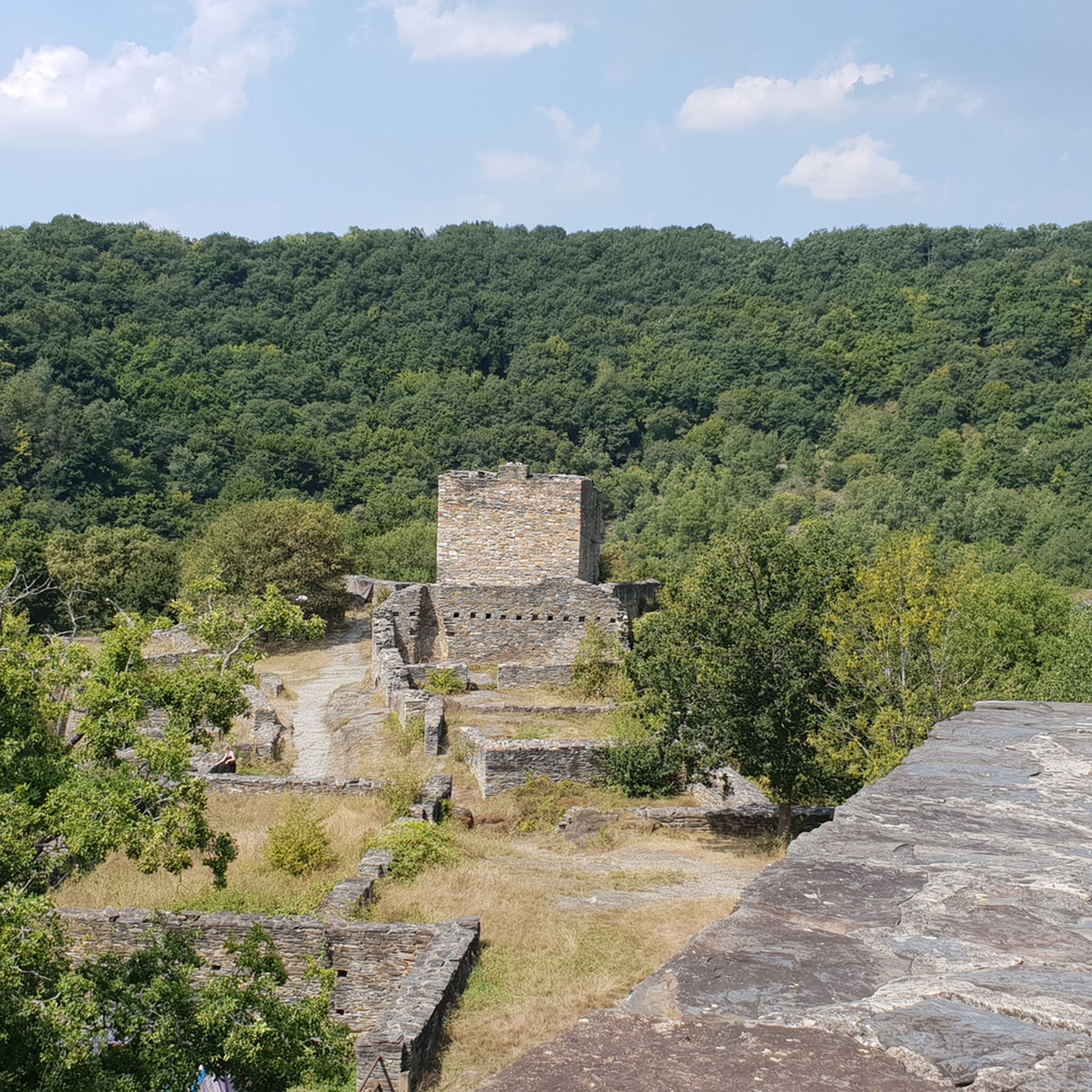
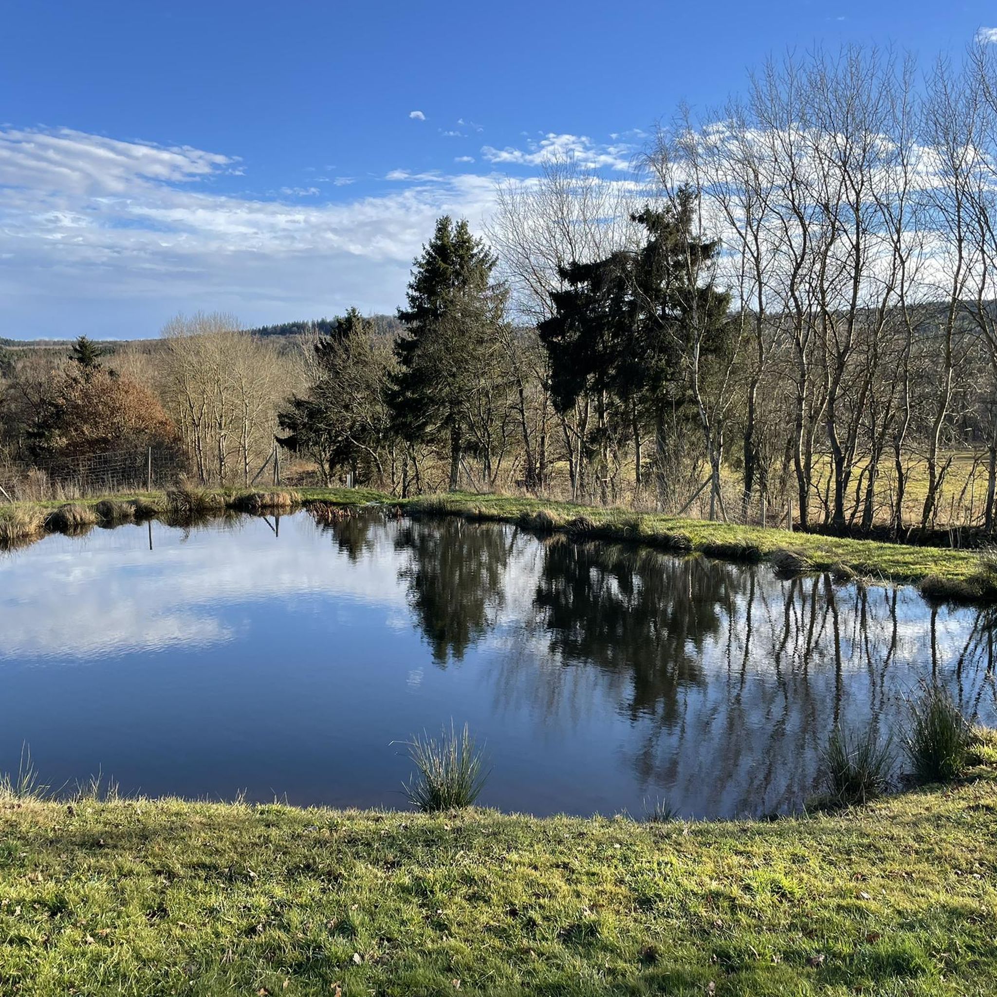
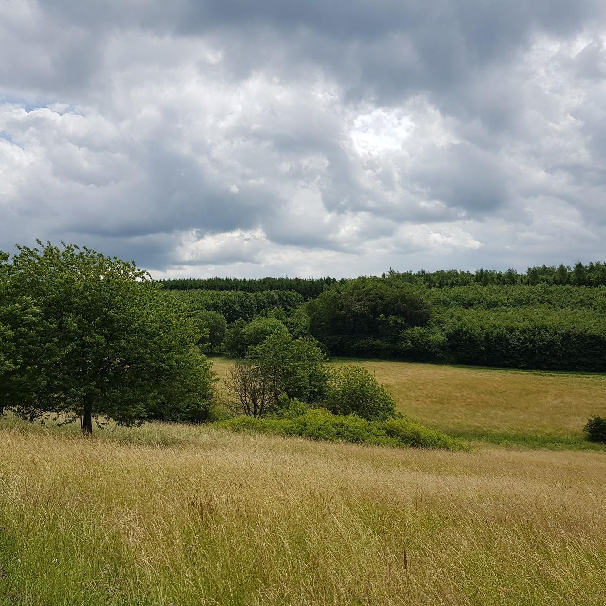
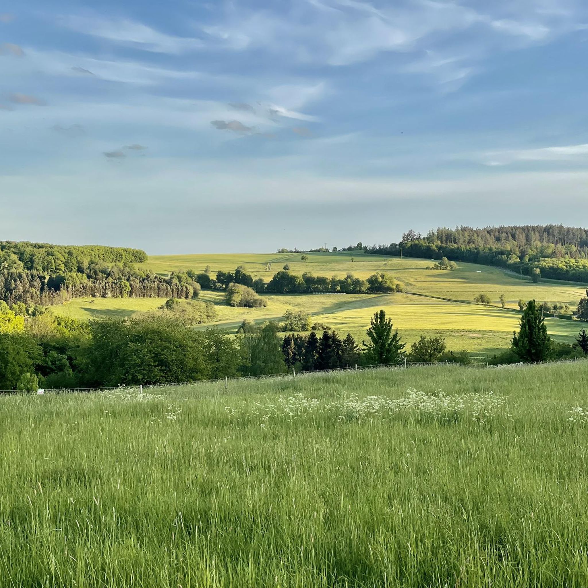
Other adventures in Landkreis Birkenfeld


Tips from the Community

Beautiful hut in Roman style, quite nice
0
0
I find this a really nicely laid out platform that invites you to relax :-D
0
0
Very cool spot, unfortunately the bench is no longer the newest
0
0
Keep your eyes open, you quickly cycle right past it ;-)
0
0
Beautiful view and nice resting place
0
0
Simply breathtaking... nothing more can be put into words
0
0
Great "Blue Wonder" bridge, although wonder is an exaggeration, it's O.K.
0
0
Good access to the Nahe and there is also a pond that invites you to linger
0
0
Frequently Asked Questions
How many hiking trails are available in Landkreis Birkenfeld?
Based on komoot data, there are over 1,600 hiking routes in Landkreis Birkenfeld, catering to various skill levels. This includes over 860 easy routes, 680 moderate routes, and 60 difficult routes, ensuring options for everyone from beginners to experienced hikers.
When is the best time of year to go hiking in Landkreis Birkenfeld?
The best seasons for hiking in Landkreis Birkenfeld are spring and autumn. During these times, the landscape is vibrant with colors, and the climate is mild, making for ideal conditions to explore the region's diverse trails.
Are there any family-friendly hiking trails in Landkreis Birkenfeld?
Yes, Landkreis Birkenfeld offers several options suitable for families. The region research mentions the "Waldgeisterpfad" nature discovery trail as an interactive experience. For a specific route, the Hike around Wildenburg in the Hunsrück – hiking in the footsteps of the wildcat is an easy 3.4-mile (5.5 km) trail that can be completed in about 1 hour 30 minutes, offering a pleasant outing for all ages.
What kind of natural features and landmarks can I expect to see while hiking?
Landkreis Birkenfeld is rich in natural beauty and historical landmarks. You can explore unique geological formations like the Rock tunnel, Rosselhalden, and Fischbacher Felsen. The region is also home to the Hunsrück-Hochwald National Park. Highlights include the Trübenbach Waterfall, the Ochsenbruch Moor Boardwalk, and the Kirschweiler Fortress. Additionally, the Hattgenstein Observation Tower offers panoramic views.
Are there any circular hiking routes in the area?
Yes, Landkreis Birkenfeld is known for its "Traumschleifen" (Dream Loops), which are certified premium circular hiking trails. An excellent example is the Hahnenbach Valley Dream Loop, a moderate 5.9-mile (9.5 km) route that offers a complete nature experience. Another option is the View of Herrstein – Jammereiche loop from Herrstein, an 8.3 km moderate trail.
What do other hikers enjoy most about hiking in Landkreis Birkenfeld?
The komoot community highly rates the hiking experience in Landkreis Birkenfeld, with an average score of 4.6 stars from over 12,000 reviews. Hikers often praise the diverse landscapes, the well-maintained trails, and the opportunity to explore both the Hunsrück-Hochwald National Park and scenic river valleys. Many appreciate the variety of routes available for different skill levels.
Are there any trails that offer particularly good viewpoints?
Absolutely. The region is known for its scenic vistas. The Erbeskopf, the highest mountain in Rhineland-Palatinate, provides impressive panoramic views. For a specific route, consider the Kirschweiler Fortress – View of the Hunsrück Valley loop from Sensweiler, a moderate 15.8 km trail that offers great views of the Hunsrück Valley. The View of the Nahe River – View of the Krechelsfels loop from Frauenberg also provides excellent river views.
Can I find trails that lead to historical sites or ruins?
Yes, the region has a rich history reflected in its trails. The Hellkirch Ruins – Schmidtburg Castle Ruins loop from Bundenbach is a moderate 10.2-mile (16.5 km) path that connects historical ruins with forest landscapes. You can also visit the Wildenburg castle ruins, which offer spectacular views of the romantic Nagold valley.
Are there any trails suitable for beginners or those looking for an easy walk?
Yes, Landkreis Birkenfeld has over 860 easy routes. An excellent option for beginners is the Hike around Wildenburg in the Hunsrück – hiking in the footsteps of the wildcat, which is 3.4 miles (5.5 km) long and generally takes about 1 hour 30 minutes to complete. This trail offers a gentle introduction to the region's natural beauty.
What are the options for longer, more challenging hikes?
For those seeking a greater challenge, Landkreis Birkenfeld offers over 60 difficult routes. The View of Frauenburg Castle – Kaiserallee on the Nahekopf loop from Enzweiler is a difficult 18.2 km (11.3 miles) route with significant elevation gain, providing a demanding yet rewarding experience for seasoned hikers.
Are there any trails that feature water elements like rivers or waterfalls?
The region boasts scenic river valleys like the Nagold Valley and the Nahe Valley. You can find trails that follow these waterways, offering picturesque views. For waterfalls, the Trübenbach Waterfall is a notable highlight, and the Katzenloch Waterfall is another beautiful spot to visit.
Is it possible to access hiking trails using public transport?
While many trails are best accessed by car, some areas in Landkreis Birkenfeld are reachable via public transport. It's advisable to check local bus schedules and connections to specific trailheads in advance, especially for routes within or near towns like Herrstein or Nohen, which may have better public transport links.
Most popular routes in Landkreis Birkenfeld
Most popular attractions in Landkreis Birkenfeld

Get inspired with the komoot mobile app


Didn’t find what you were looking for?
Check out more Hikes throughout Landkreis Birkenfeld below and find the perfect route in your destination.
Explore more
Browse the best Hikes in other regions.
