The best road cycling routes around Les Rouges-Eaux
4.3
(270)
3,788
riders
167
rides
Road cycling around Les Rouges-Eaux offers diverse terrain within the Vosges department of northeastern France. The region is characterized by rolling hills, dense forests, and the Mortagne river valley, with altitudes ranging from 377 meters to 620 meters. Cyclists encounter undulating hills and varying elevations, providing both scenic rides and challenging climbs. Notable features include mountain passes like Col du Haut-Jacques and unique pink sandstone rocks, adding distinct character to the landscape.
Best road cycling routes around Les Rouges-Eaux
- The…
Last updated: May 24, 2026
4.6
(14)
146
riders
78.4km
03:37
770m
770m
Moderate road ride. Good fitness required. Some segments of this route may be unpaved and difficult to ride.
114
riders
105km
05:25
1,810m
1,810m
Hard road ride. Very good fitness required. Mostly well-paved surfaces and easy to ride.

Sign up for free
4.0
(1)
46
riders
177km
09:18
3,190m
3,190m
Hard road ride. Very good fitness required. Mostly well-paved surfaces and easy to ride.
4.5
(4)
82
riders
54.2km
02:33
690m
690m
Moderate road ride. Good fitness required. Mostly well-paved surfaces and easy to ride.
5.0
(2)
65
riders
133km
07:14
2,530m
2,530m
Hard road ride. Very good fitness required. Mostly well-paved surfaces and easy to ride.
Get access to more routes and recommendations from other explorers.
Sign up for free
Already have an account?
Our route recommendations are based on thousands of hikes, rides, and runs completed by other people on komoot.
Start today with a free account
Your next adventure awaits.
Login or Signup
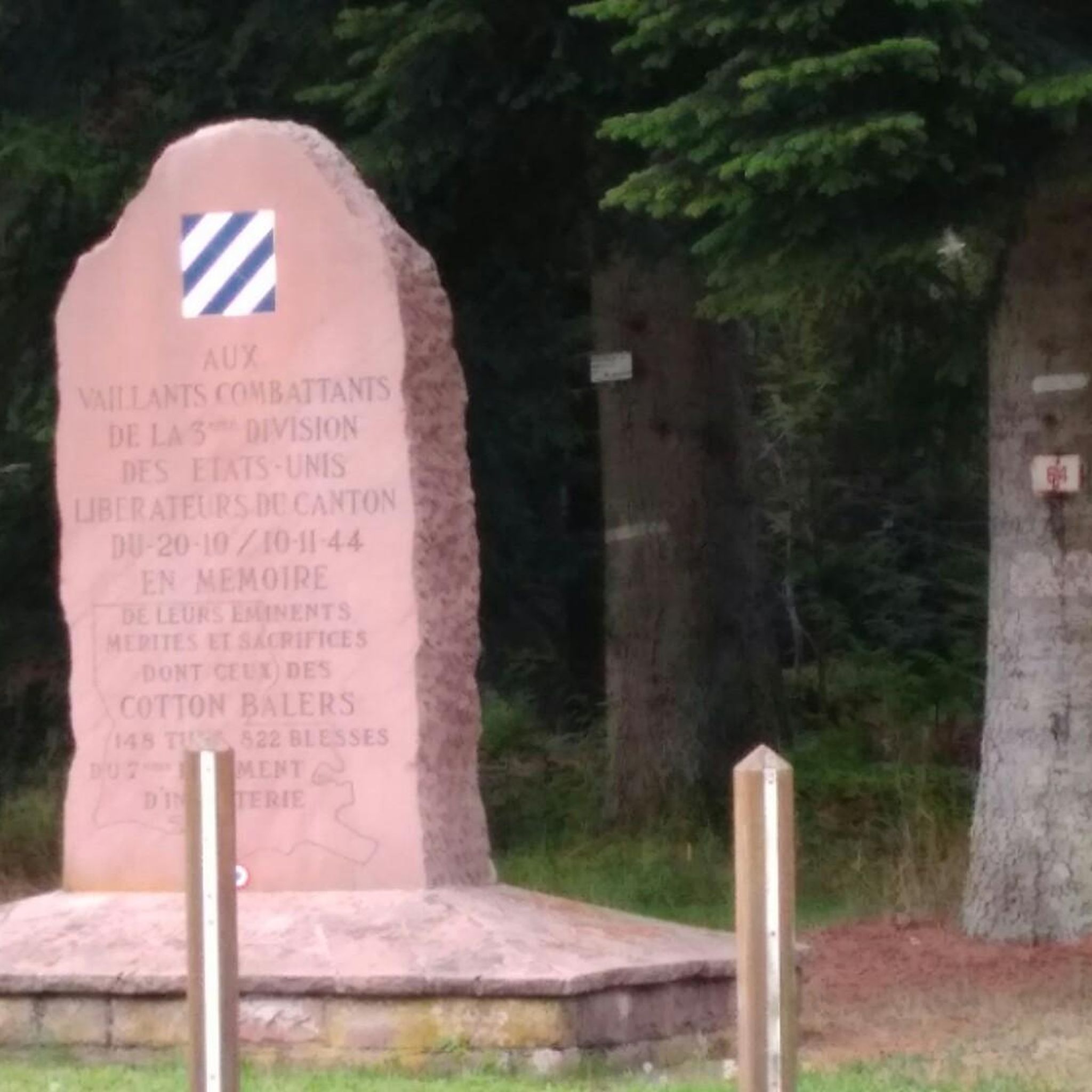
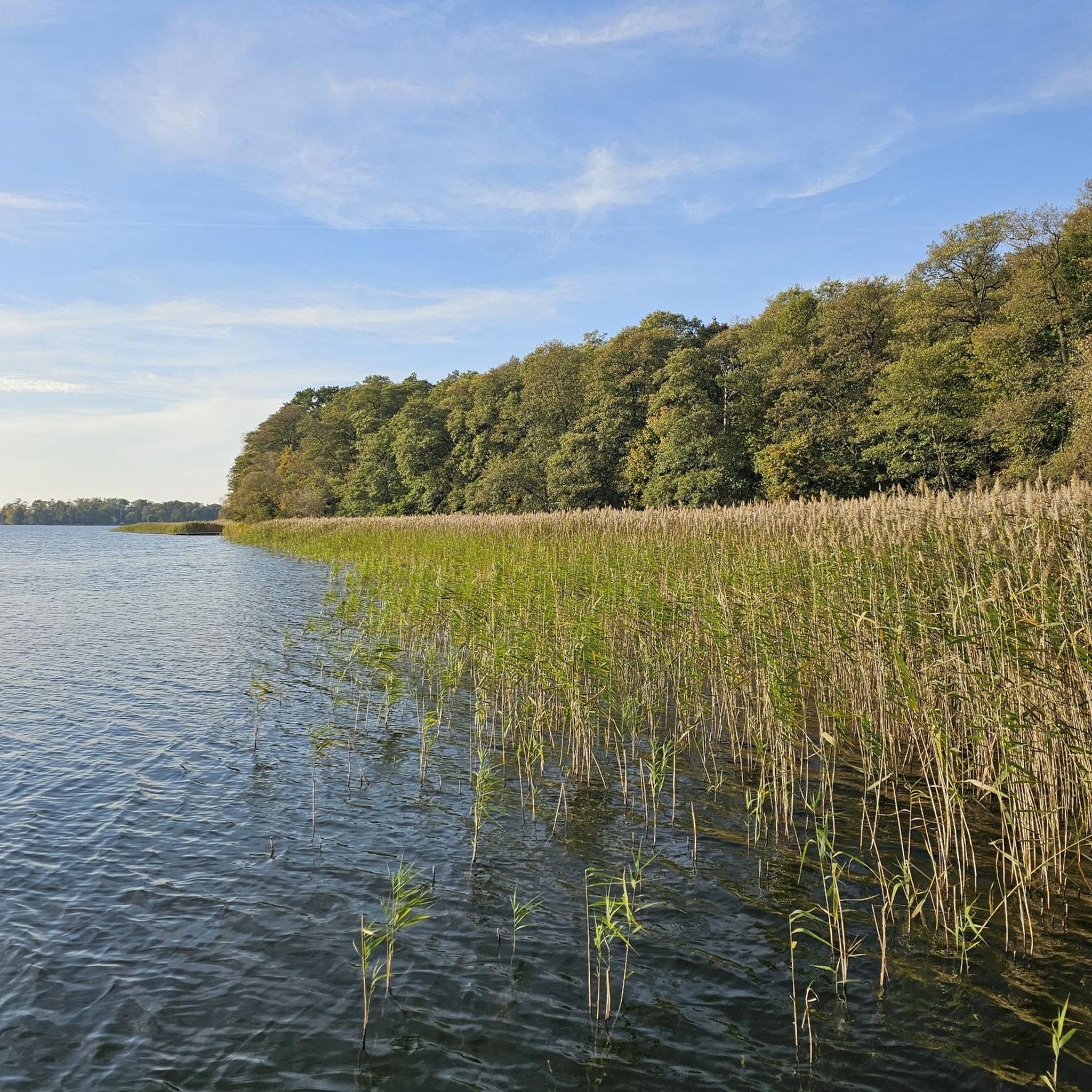
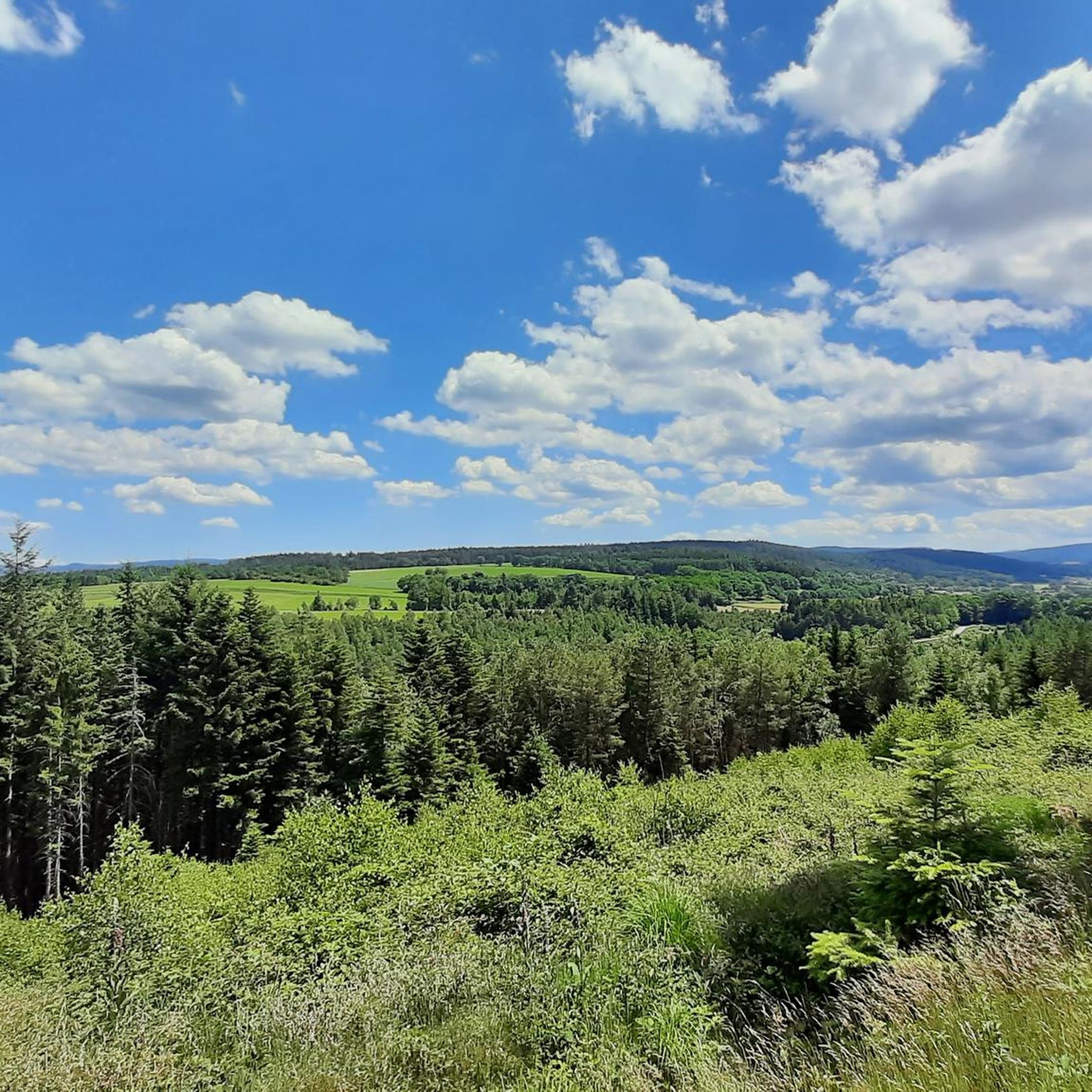

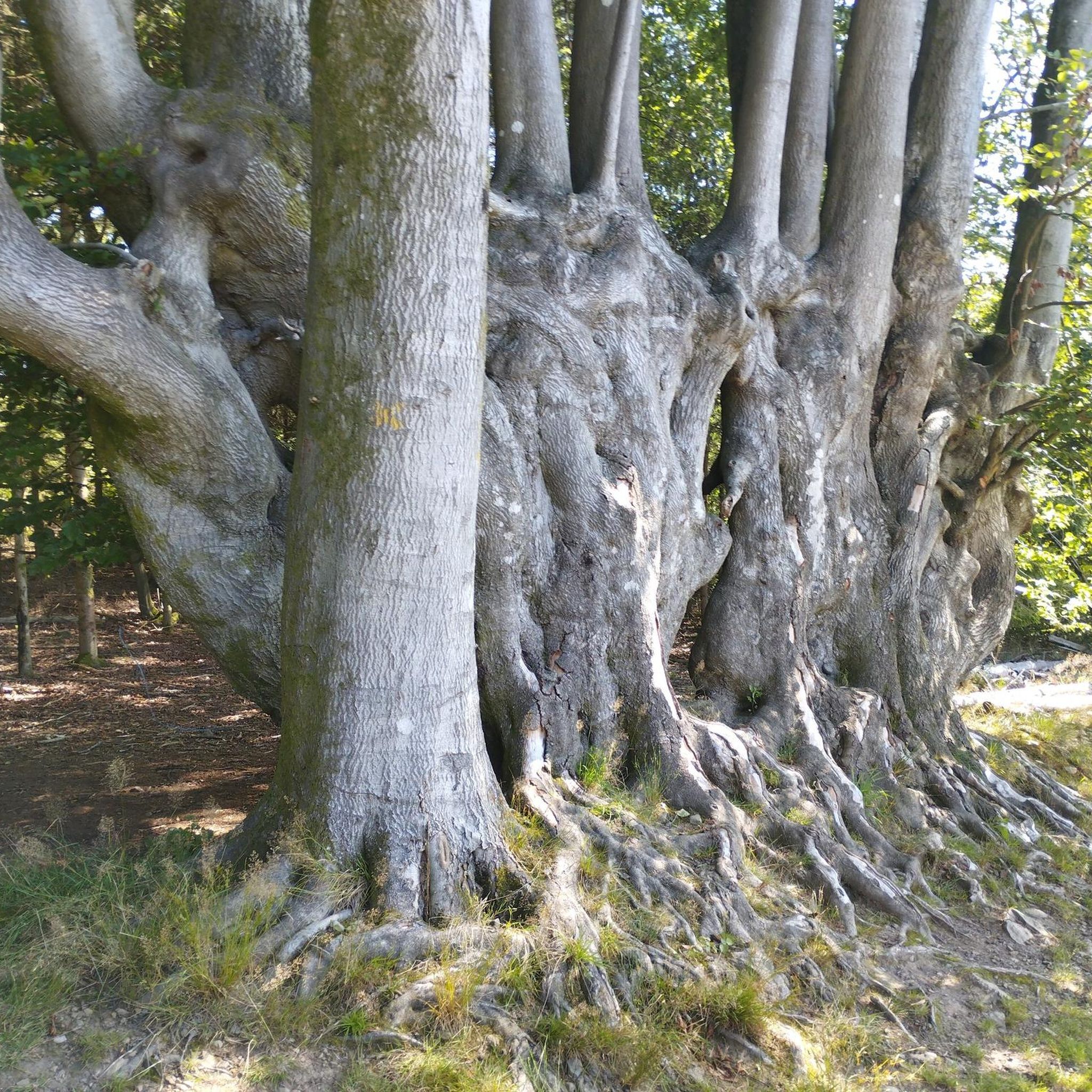
Tips from the Community

Beautiful hiking destination, there is also a cycling route
0
0

The beautiful mirror-like lake, surrounded by beautiful vegetation, is also explained on the information board. The insect-eating sundew is common there.
0
0

Nice quiet place to take a break.
0
0
Good, affordable accommodation. Right in the heart of the Cols.
0
0

We first hiked the route along the upper slope, bringing some food and water. It was a beautiful walk, and on the way back, we made a nice stop in the village. Be sure to check the restaurant opening hours.
0
0

A long and beautiful forest road. However, it's bumpy in places on a road bike!
0
0


Very beautiful spot. The surrounding path is well laid out.
0
0
Frequently Asked Questions
What is the general terrain like for road cycling in Les Rouges-Eaux?
The region around Les Rouges-Eaux, nestled in the Vosges department, is characterized by rolling hills, dense forests, and river valleys. You'll encounter varied elevations, with altitudes ranging from 377 to 620 meters, providing both scenic rides and challenging climbs. The terrain includes mountain passes like Col du Haut-Jacques and unique pink sandstone rocks, offering a diverse cycling experience.
How many road cycling routes are available in Les Rouges-Eaux?
There are over 190 road cycling routes available in Les Rouges-Eaux and its immediate surroundings. These routes cater to various skill levels, from moderate rides to more challenging climbs over mountain passes.
Are there road cycling routes suitable for different skill levels?
Yes, the routes in Les Rouges-Eaux cater to a range of abilities. You can find 23 easy routes for a more relaxed ride, 114 moderate routes for those seeking a balanced challenge, and 55 difficult routes for experienced cyclists looking for significant elevation gains and longer distances.
What do other road cyclists say about the routes in Les Rouges-Eaux?
The road cycling routes in Les Rouges-Eaux are highly regarded by the komoot community, with an average rating of 4.3 out of 5 stars from over 250 reviews. More than 4,000 road cyclists have used komoot to explore the varied terrain, often praising the scenic views and diverse challenges.
What are some notable landmarks or viewpoints I can see along the road cycling routes?
While cycling, you can discover several interesting points. Consider visiting the historical La Bure Celtic Camp, a classified Historical Monument. For panoramic views, look out for La Roche Saint-Martin and View of Saint-Dié or Roche d'Anozel. The region also features natural monuments like Pointhaie Rocks and La Pierre Percée.
Are there any long-distance road cycling routes in the area?
Yes, for those seeking longer distances, routes like the Ballon de Servance – La Planche des Belles Filles loop from Bruyères offer a significant challenge, covering over 177 km with substantial elevation gain. Another option is the View of Lake Lispach – Col du Wettstein loop from Bruyères, which is over 132 km long.
What is the best time of year to go road cycling in Les Rouges-Eaux?
The Vosges region, including Les Rouges-Eaux, is generally best for road cycling during the spring, summer, and early autumn months. These seasons offer more favorable weather conditions, with lush landscapes and accessible mountain passes. Always check local weather forecasts before heading out, especially for higher elevations.
Are there loop road cycling trails available?
Many of the road cycling routes in Les Rouges-Eaux are designed as loops, allowing you to start and finish at the same point. Examples include the popular Rabodeau Valley – Prayé Forest Road loop from St-Michel-sur-Meurthe and the challenging Col du Wettstein – Wettstein Pass loop from Bruyères.
Are there any family-friendly road cycling routes in Les Rouges-Eaux?
While the region is known for its rolling hills, you can find easier routes that might be suitable for families, especially those with some cycling experience. Look for routes categorized as 'easy' in the komoot guide, which typically feature less elevation gain. The tranquil forest roads and flat-bottomed valleys can offer pleasant sections for family rides.
Is parking available for cyclists in Les Rouges-Eaux?
Specific parking information for cyclists varies by starting point. However, as a rural area, you can often find public parking in the villages or designated areas near popular trailheads. It's advisable to check the starting point details of your chosen route for the most accurate parking recommendations.
Can I find cafes or restaurants along the road cycling routes?
While Les Rouges-Eaux itself is a small commune, the broader Vosges region has villages and towns where you can find cafes and restaurants. Larger towns like Bruyères, which serve as starting points for several routes, offer more options for refreshments and meals. Planning your route to pass through these towns is recommended for breaks.
What are some of the more challenging road cycling routes in the area?
For experienced cyclists, routes like the Col du Wettstein – Wettstein Pass loop from Bruyères, covering over 104 km with significant elevation, or the Ballon de Servance – La Planche des Belles Filles loop from Bruyères (177 km with over 3000m elevation gain) offer demanding climbs and rewarding descents through the Vosges mountains.
Most popular routes around Les Rouges-Eaux
Most popular attractions around Les Rouges-Eaux

Get inspired with the komoot mobile app


Explore more
Browse the best Road cycling routes in other regions.
