The best running trails around Andelnach
4.4
(200)
9,057
runners
401
runs
Jogging routes around Andelnach offer a diverse landscape for runners. The region features varied terrain, including paths along the Rhine River and routes that explore the surrounding areas. Elevation changes are generally moderate, providing accessible options for different fitness levels. The area combines natural features with historical elements, making for engaging running experiences.
Best jogging routes around Andelnach
- The most popular jogging route is Running loop from Andelnans, a 7.4 miles (12.0 km) trail that takes 1 hour 19…
Last updated: October 8, 2026
5.0
(1)
57
runners
9.00km
00:57
30m
30m
Moderate run. Good fitness required. Mostly paved surfaces. Suitable for all skill levels.
3.5
(2)
30
runners
12.0km
01:20
100m
100m
Moderate run. Good fitness required. Mostly paved surfaces. Suitable for all skill levels.

24
runners
21.0km
02:20
350m
350m
Hard run. Very good fitness required. Mostly accessible paths. Some sure footedness required.
10
runners
23.9km
02:29
110m
110m
Hard run. Very good fitness required. Mostly paved surfaces. Suitable for all skill levels.
5.0
(1)
8
runners
7.73km
00:49
50m
50m
Moderate run. Good fitness required. Mostly paved surfaces. Suitable for all skill levels.
Get access to more routes and recommendations from other explorers.
Already have an account?
Our route recommendations are based on thousands of hikes, rides, and runs completed by other people on komoot.
Start today with a free account
Your next adventure awaits.

Tips from the Community

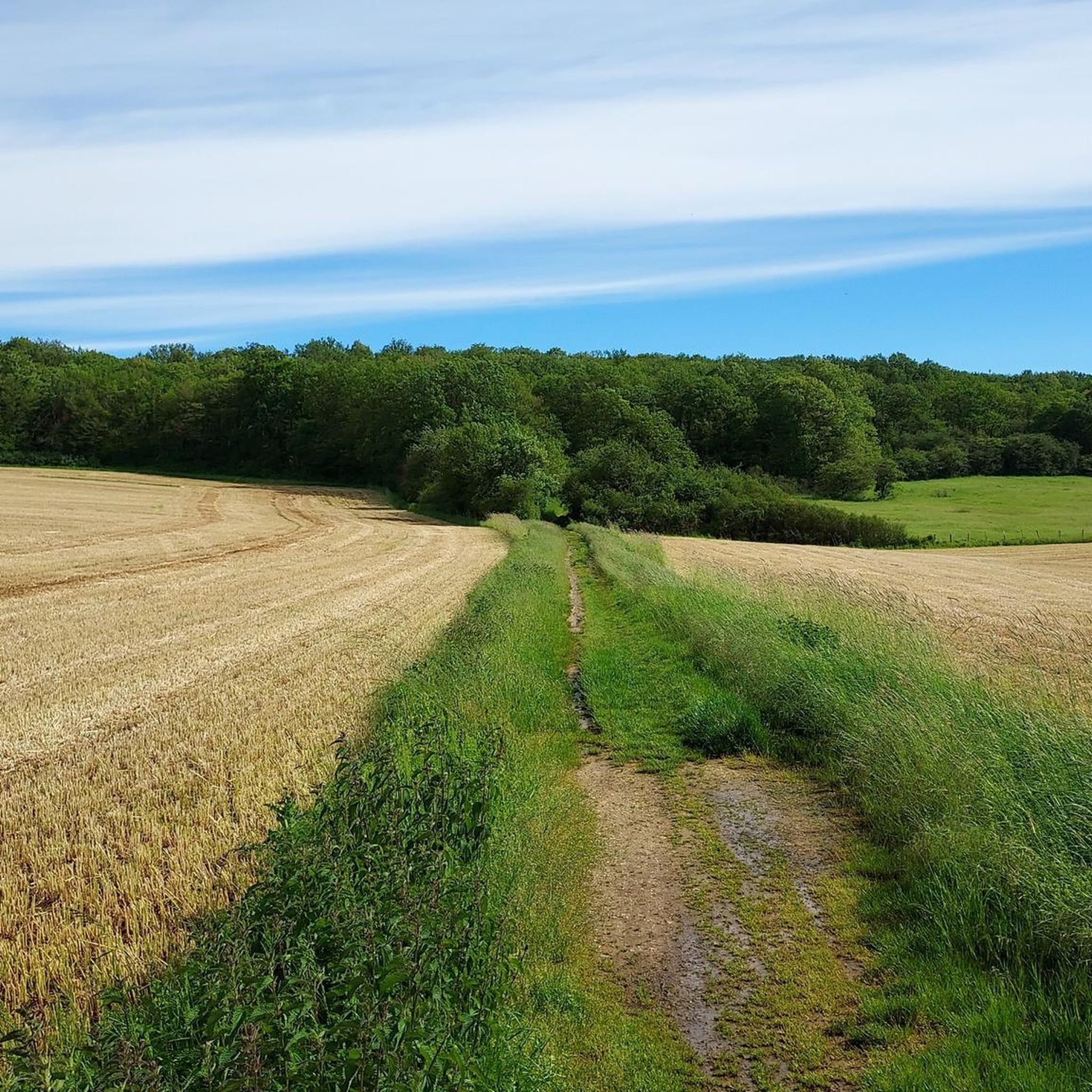
A great place for walking, hiking, and also mountain biking.
0
0

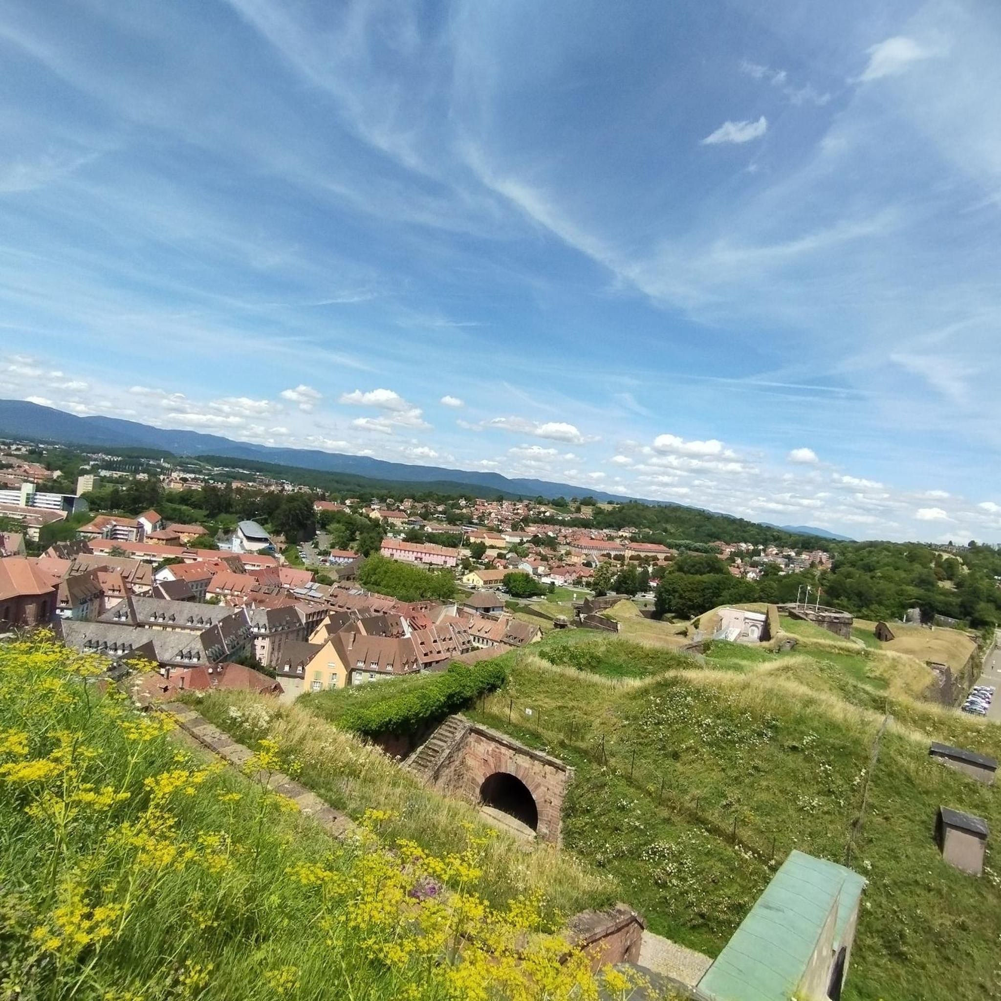
The Citadel of Belfort is a historically complex building, reflecting five centuries of fortifications. It was built after the conquest of the city in 1687, replacing a medieval castle that previously stood on this rocky outcrop.
5
0
Beautiful view from the citadel of Belfort and the surrounding countryside.
5
0
The Lion is the symbol of the city of Belfort. All Belfort residents are proud of this pink sandstone colossus. The Citadel and the Lion of Belfort were voted the French people's favorite monument in 2020.
5
0

The lion is the largest stone statue in France. As a symbol and guardian of the city, it is also a visual landmark and even invites you to take a city safari. Info: https://www.belfort-tourisme.com/de/entdecken/die-highlights/der-loewe/
0
0

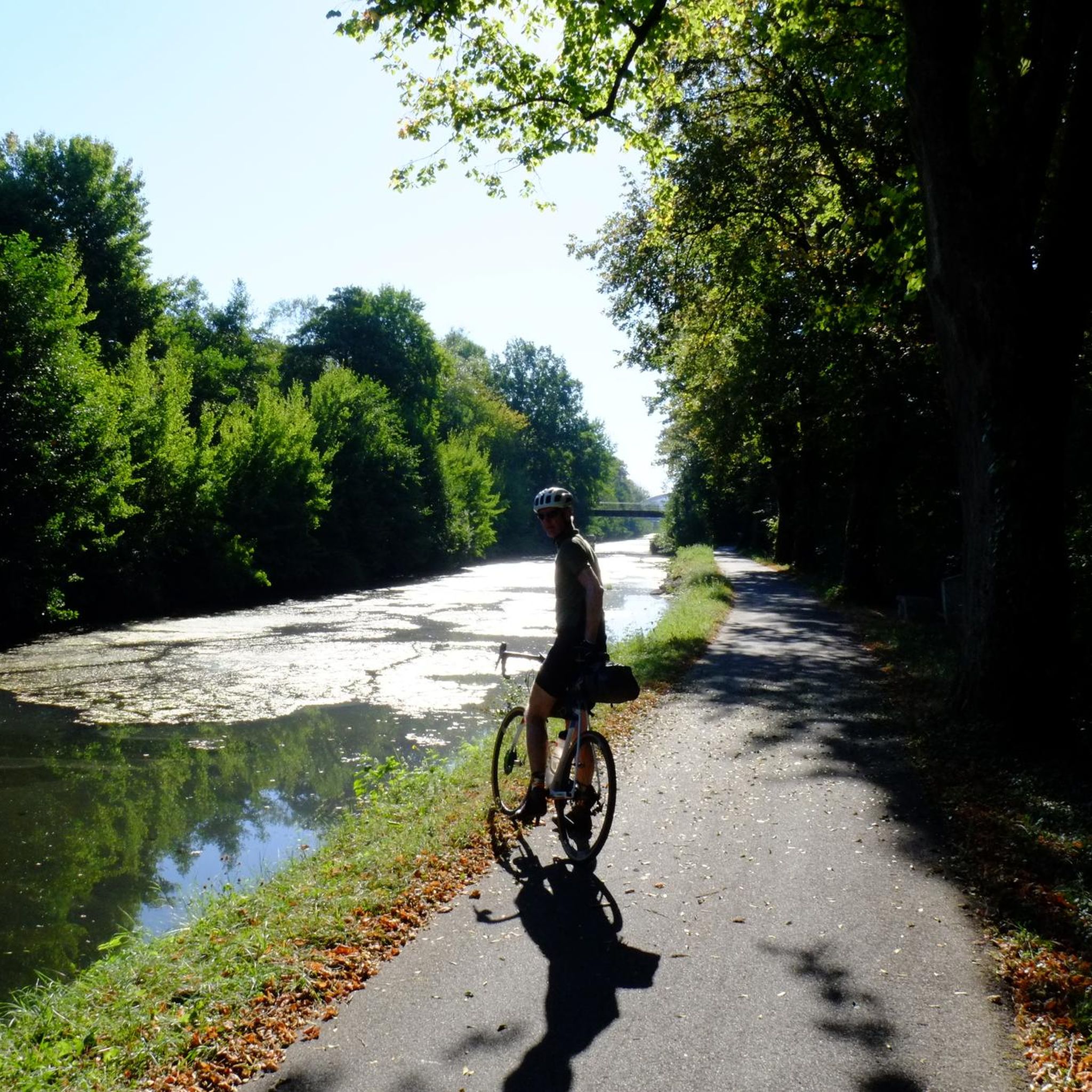
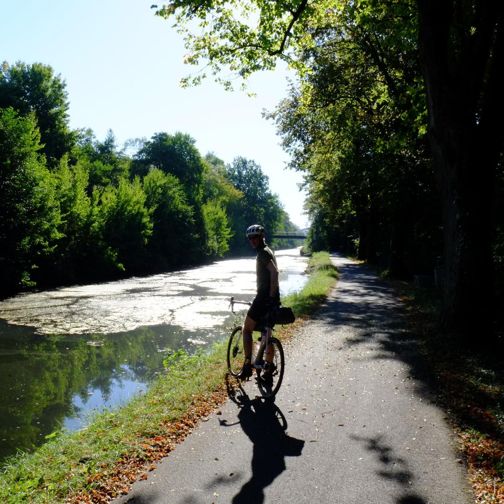
A "chemin de halage", in German "treidelpfad", which runs alongside the waterway right next to the bed of the river or canal, was an indispensable part of the transport infrastructure in earlier times. Before ships could move using motor power, horses ran along the bank and pulled the ship against the current. This was called "treideln", and this is how the "treidelpfads" got their name, which has been passed down to this day. Where these paths directly on the bank have been preserved, they are often used by hikers and cyclists.
0
1

I noticed this highlight during my search. However, it is not on the Haute Saône Canal but on an independent river, the Savoureuse. According to Wikipedia: The Savoureuse is a right tributary of the Allan, around 41 kilometers long, in the French department of Territoire de Belfort in the Bourgogne-Franche-Comté region. It flows through the city of Belfort and drains the western part of the department to the Mediterranean via the Allan, Doubs, Saône and Rhône water system. The Savoureuse catchment area covers an area of around 225 km². The river name comes from the Patois expression savour (saw). https://de.m.wikipedia.org/wiki/Savoureuse
2
0

The fortress of Belfort is very impressive and worth seeing. A particular eye-catcher is the mighty lion at the foot of the fortress.
1
0
Frequently Asked Questions
How many running routes are available in Andelnach?
Komoot offers a selection of over 10 jogging routes around Andelnach. These routes cater to various preferences, with all currently listed as moderate difficulty, making them accessible for a good workout.
What is the typical terrain like for jogging in Andelnach?
The jogging routes around Andelnach generally feature varied terrain, including paths along local rivers like the Savoureuse and routes that explore the surrounding areas. Elevation changes are typically moderate, providing accessible options for different fitness levels. You can expect a mix of riverside paths and local loops.
Are there any easy running routes for beginners in Andelnach?
While all listed routes are currently rated as moderate, their elevation changes are generally gentle. For instance, the La Savoureuse loop from Botans has a relatively flat profile, making it a good option for those seeking a consistent pace without significant climbs. Most routes offer a manageable challenge for regular joggers.
What do other runners say about the jogging routes in Andelnach?
The running routes in Andelnach are highly regarded by the komoot community, boasting an average rating of 4.3 stars from over 120 reviews. More than 5,000 runners have explored the area using komoot, often praising the varied terrain and engaging running experiences.
Are there any circular running routes in Andelnach?
Yes, many of the running routes in Andelnach are designed as loops, offering convenient circular paths. Popular options include the Running loop from Andelnans, the La Savoureuse loop from Botans, and the La Savoureuse loop from Froideval, all providing a complete circuit back to your starting point.
What natural features can I expect to see while running around Andelnach?
The region around Andelnach offers a blend of natural beauty, particularly along its waterways. You can expect to run alongside the Savoureuse river and the Canal du Rhône au Rhin. The Savoureuse Valley Nature Reserve is a notable natural highlight, providing peaceful scenery for your run.
Are there any interesting sights or landmarks along the running trails?
Yes, several routes incorporate interesting sights. You might encounter sections along the Montbéliard–Haute-Saône Canal beside the Allan or the Chemin de Halage Allenjoie, EV6. While not directly on every running path, the iconic Lion of Belfort is a significant landmark in the broader area, and you can find a Viewpoint overlooking Lake Malsaucy for scenic breaks.
Can I find routes with viewpoints in Andelnach?
Yes, for those who enjoy a scenic reward, there is a notable Viewpoint overlooking Lake Malsaucy. While not directly on every running path, it's a nearby highlight that can be incorporated into longer runs or visited separately for panoramic views of the surrounding landscape and lakes.
Are the running routes in Andelnach suitable for families?
Many of the routes in Andelnach, with their moderate difficulty and gentle elevation changes, can be suitable for active families. Paths along the Savoureuse river and canals offer relatively flat and pleasant environments. Always check the specific route details for distance and terrain to ensure it matches your family's fitness level.
Are there any dog-friendly running trails in Andelnach?
Generally, outdoor trails in the region are dog-friendly, especially if your dog is accustomed to running. The varied terrain and riverside paths provide good opportunities for you and your canine companion to enjoy a run together. Remember to keep your dog on a leash where required and clean up after them.
What is the average length and duration of running routes in Andelnach?
The running routes in Andelnach vary in length, typically ranging from around 3.3 miles (5.3 km) to 7.5 miles (12.2 km). A moderate route like the Running loop from Andelnans, which is about 7.4 miles (12.0 km), usually takes around 1 hour and 19 minutes to complete at a steady jogging pace.
Can I find running routes that pass by lakes in Andelnach?
Yes, the area around Andelnach features several lakes that can be part of or near your running experience. You might encounter Véronne Pond, Étang du Malsaucy, or Réchal Pond. These offer picturesque settings and a change of scenery during your run.
Are there any shorter running options for a quick jog in Andelnach?
For a quicker run, consider routes like the Réduit du Bosmont loop from Andelnans. This route is approximately 3.3 miles (5.3 km) long and can be completed in about 38 minutes, making it ideal for a shorter, refreshing jog.
Most popular attractions around Andelnach

Get inspired with the komoot mobile app


Explore more
Browse the best Running Trails & Routes in other regions.
